|
Seven Creeks
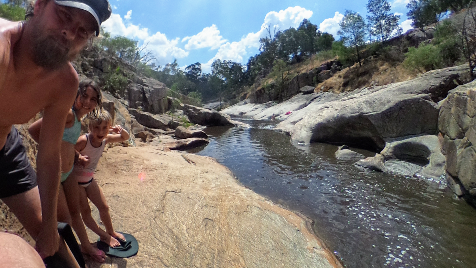
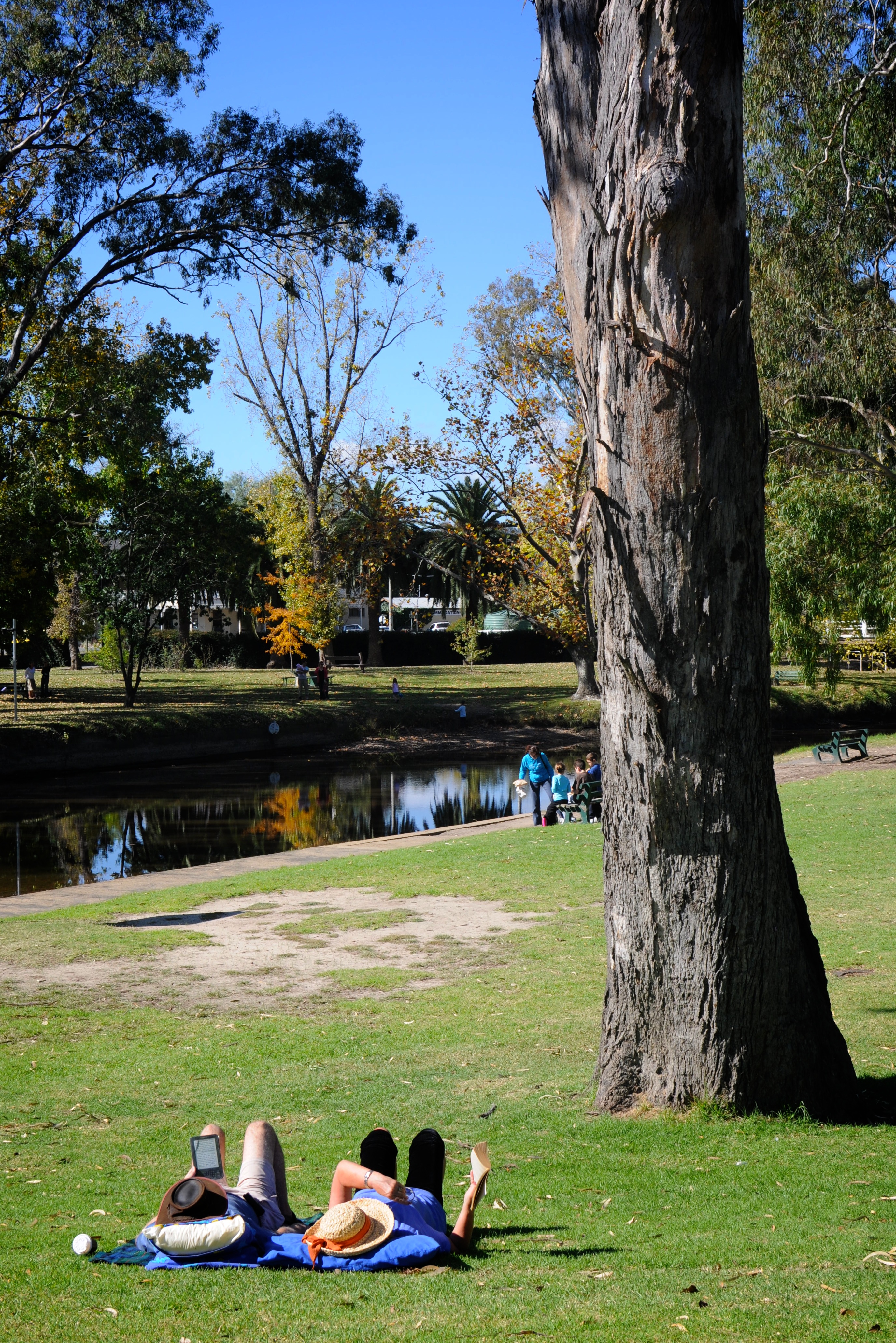
Seven Creeks is a creek in Victoria, Australia that is a part of the Murray-Darling Basin. The confluence of this river is located in Kialla, flowing into the Goulburn River. The creek passes through Euroa. In 1836 during his " Australia Felix" expedition, Major Mitchell camped on the banks of Seven Creeks at Euroa. See also *Goulburn River *Broken River (Victoria) The Broken River, a minor inland perennial river of the Goulburn Broken catchment, part of the Murray–Darling basin, is located in the alpine and Northern Country/North Central regions of the Australian state of Victoria. The headwaters of ... References Rivers of Victoria (Australia) Tributaries of the Goulburn River {{VictoriaAU-river-stub ... [...More Info...] [...Related Items...] OR: [Wikipedia] [Google] [Baidu] |
Euroa
Euroa is a town in the Shire of Strathbogie in the north-east of Victoria, Australia. At the 2016 census, Euroa's population was 3,275. The name Euroa comes from an Aboriginal word in the old local dialect meaning 'joyful'. History Major T.L. Mitchell camped on the banks of the Seven Creeks at Euroa during his 1836 "Australia Felix" expedition. The Post Office opened on 1 January 1854 in the old town, as the township was settled. Euroa's claim to fame is that the National Bank was robbed by Ned Kelly in 1878. Much of the region's wealth once came from sheep but now it comes from horse studs. The Euroa Magistrates' Court closed on 1 January 1990. Heritage sites Euroa contains a number of heritage-listed sites, including: * 1 Binney Street: National Bank of Australasia Building * 90 Binney Street: Euroa Post Office * 99 Binney Street: Euroa Court House Facilities Euroa is roughly midway between Melbourne and Albury. The area is geographically very flat, as the town is ... [...More Info...] [...Related Items...] OR: [Wikipedia] [Google] [Baidu] |
Victoria (Australia)
Victoria is a state in southeastern Australia. It is the second-smallest state with a land area of , the second most populated state (after New South Wales) with a population of over 6.5 million, and the most densely populated state in Australia (28 per km2). Victoria is bordered by New South Wales to the north and South Australia to the west, and is bounded by the Bass Strait to the south (with the exception of a small land border with Tasmania located along Boundary Islet), the Great Australian Bight portion of the Southern Ocean to the southwest, and the Tasman Sea (a marginal sea of the South Pacific Ocean) to the southeast. The state encompasses a range of climates and geographical features from its temperate coastal and central regions to the Victorian Alps in the northeast and the semi-arid north-west. The majority of the Victorian population is concentrated in the central-south area surrounding Port Phillip Bay, and in particular within the metropolit ... [...More Info...] [...Related Items...] OR: [Wikipedia] [Google] [Baidu] |
Australia
Australia, officially the Commonwealth of Australia, is a Sovereign state, sovereign country comprising the mainland of the Australia (continent), Australian continent, the island of Tasmania, and numerous List of islands of Australia, smaller islands. With an area of , Australia is the largest country by area in Oceania and the world's List of countries and dependencies by area, sixth-largest country. Australia is the oldest, flattest, and driest inhabited continent, with the least fertile soils. It is a Megadiverse countries, megadiverse country, and its size gives it a wide variety of landscapes and climates, with Deserts of Australia, deserts in the centre, tropical Forests of Australia, rainforests in the north-east, and List of mountains in Australia, mountain ranges in the south-east. The ancestors of Aboriginal Australians began arriving from south east Asia approximately Early human migrations#Nearby Oceania, 65,000 years ago, during the Last Glacial Period, last i ... [...More Info...] [...Related Items...] OR: [Wikipedia] [Google] [Baidu] |
Kialla, Victoria
Kialla is a suburb within the City of Greater Shepparton local government area in the Goulburn Valley, Victoria, Australia. At the 2016 census, Kialla and surrounding area had a population of approximately 6,800. Kialla includes the areas known as Kialla Central, Kialla West, Kialla Green and Kialla Lakes. Kialla Lakes is a major housing estate established in northern Kialla, with three man-made lakes to provide scenery. Houses with lake frontage sell for a premium price. History Kialla Post Office opened on 2 January 1874 and closed in 1918. Population According to the 2016 census of population, there were 6,817 people in Kialla, of which: * 1.6% were Aboriginals and/or Torres Strait Islanders * 82.6% were born in Australia * 82.9% spoke only English at home. Other languages spoken at home included Italian at 1.9% * 28.0% were Catholic, 27.5% declared no religion, and 12.0% were Anglican Sport Shepparton Harness Racing Club conducts regular meetings at its racetrack in ... [...More Info...] [...Related Items...] OR: [Wikipedia] [Google] [Baidu] |
Goulburn River (Victoria)
The Goulburn River, a major inland perennial river of the Goulburn Broken catchment, part of the Murray-Darling basin, is located in the alpine, Northern Country/North Central, and Southern Riverina regions of the Australian state of Victoria. The headwaters of the Goulburn River rise in the western end of the Victorian Alps, below the peak of Corn Hill before descending to flow into the Murray River near Echuca, making it the longest river in Victoria at . The river is impounded by the Eildon Dam to create Lake Eildon, the Eildon Pondage, the Goulburn Weir and Waranga Basin. Location and features The river rises below Corn Hill on the southwestern slopes of the Victorian Alps, south of near the town of in the Shire of Mansfield. The river flows generally north, then west, then north, then west passing through or adjacent to the regional cities and towns of , , , , Arcadia Downs, before reaching its confluence with the Murray River near Echuca. The Goulburn has 41 tributar ... [...More Info...] [...Related Items...] OR: [Wikipedia] [Google] [Baidu] |
Australia Felix
Australia Felix (Latin for "fortunate Australia" or "happy Australia") was an early name given by Thomas Mitchell to lush pasture in parts of western Victoria he explored in 1836 on his third expedition. On this expedition Mitchell was instructed to travel to Menindee, then down the Darling River to the sea, if it flowed there; or, if it flowed into the Murray River to go up the Murray to the inhabited parts of the colony. However lack of water forced Mitchell to follow the Lachlan River The Lachlan River is an intermittent river that is part of the Murrumbidgee catchment within the Murray–Darling basin, located in the Southern Tablelands, Central West, and Riverina regions of New South Wales, Australia. The Lachlan Riv ... to the south-west as the only practicable route. He reached the Murrumbidgee on 12 May and followed it to the Murray. At the end of May, Mitchell reached the Darling and turned north upstream. He soon decided, while still about in a direct lin ... [...More Info...] [...Related Items...] OR: [Wikipedia] [Google] [Baidu] |
Thomas Mitchell (explorer)
Sir Thomas Livingstone Mitchell (15 June 1792 – 5 October 1855), surveyor and explorer of Southeastern Australia, was born at Grangemouth in Stirlingshire, Scotland. In 1827 he took up an appointment as Assistant Surveyor General of New South Wales. The following year he became Surveyor General and remained in this position until his death. Mitchell was knighted in 1839 for his contribution to the surveying of Australia. Early life Born in Scotland on 15 June 1792, he was son of John Mitchell of Carron Works and was brought up from childhood by his uncle, Thomas Livingstone of Parkhall, Stirlingshire. Peninsular War On the death of his uncle, he joined the British army in Portugal as a volunteer in the Peninsular War, at the age of sixteen. On 24 June 1811, at the age of nineteen, he received his first commission as 2nd Lieutenant in the 1st Battalion 95th Rifles (later the Rifle Brigade / Royal Green Jackets). Utilising his skills as a draughtsman of outstanding ab ... [...More Info...] [...Related Items...] OR: [Wikipedia] [Google] [Baidu] |
Goulburn River
The Goulburn River, a major inland perennial river of the Goulburn Broken catchment, part of the Murray-Darling basin, is located in the alpine, Northern Country/North Central, and Southern Riverina regions of the Australian state of Victoria. The headwaters of the Goulburn River rise in the western end of the Victorian Alps, below the peak of Corn Hill before descending to flow into the Murray River near Echuca, making it the longest river in Victoria at . The river is impounded by the Eildon Dam to create Lake Eildon, the Eildon Pondage, the Goulburn Weir and Waranga Basin. Location and features The river rises below Corn Hill on the southwestern slopes of the Victorian Alps, south of near the town of in the Shire of Mansfield. The river flows generally north, then west, then north, then west passing through or adjacent to the regional cities and towns of , , , , Arcadia Downs, before reaching its confluence with the Murray River near Echuca. The Goulburn has 41 tributar ... [...More Info...] [...Related Items...] OR: [Wikipedia] [Google] [Baidu] |
Broken River (Victoria)
The Broken River, a minor inland perennial river of the Goulburn Broken catchment, part of the Murray–Darling basin, is located in the alpine and Northern Country/North Central regions of the Australian state of Victoria. The headwaters of the Broken River rise in the western slopes of the Victorian Alps, near Bald Hill and descend to flow into the Goulburn River near Shepparton. The river is impounded by the Nillahcootie Dam to create Lake Nillahcootie and Benalla Dam to create Lake Benalla. Location and features The river rises below Bald Hill on the western slopes of the Victorian Alps, within the Mount Buffalo National Park in the Shire of Mansfield. The river flow generally west, then north, then west passing through or adjacent to the regional cities of and , joined by ten minor tributaries, before reaching its confluence with the Goulburn River within Shepparton. The river descends over its course. When at maximum capacity, the Broken River is the fastest f ... [...More Info...] [...Related Items...] OR: [Wikipedia] [Google] [Baidu] |
Rivers Of Victoria (Australia)
This is a list of rivers of Australia. Rivers are ordered alphabetically, by state. The same river may be found in more than one state as many rivers cross state borders. Longest rivers nationally Longest river by state or territory Although the Murray River forms much of the border separating New South Wales and Victoria, it is not Victoria's longest river because the New South Wales border is delineated by the river's southern bank rather than by the middle of the river. The only section of the river formally within Victoria is a stretch of approximately where it separates Victoria and South Australia. At this point, the middle of the river forms the border. Rivers by state or territory The following is a list of rivers located within Australian states and territories. Where a river crosses a state or territory boundary, it is listed in both states and territories. Where a river has a name that includes the word creek, it has been officially designated as a river. Aus ... [...More Info...] [...Related Items...] OR: [Wikipedia] [Google] [Baidu] |


