|
Sennoy Municipal Okrug
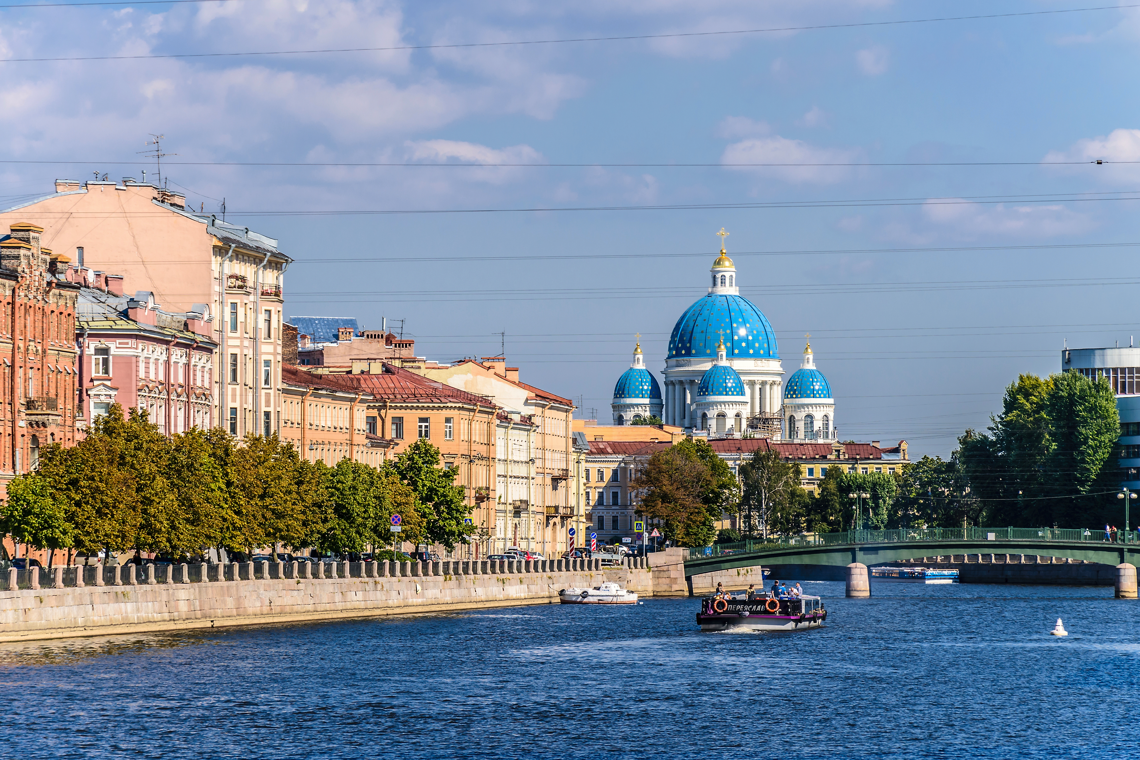
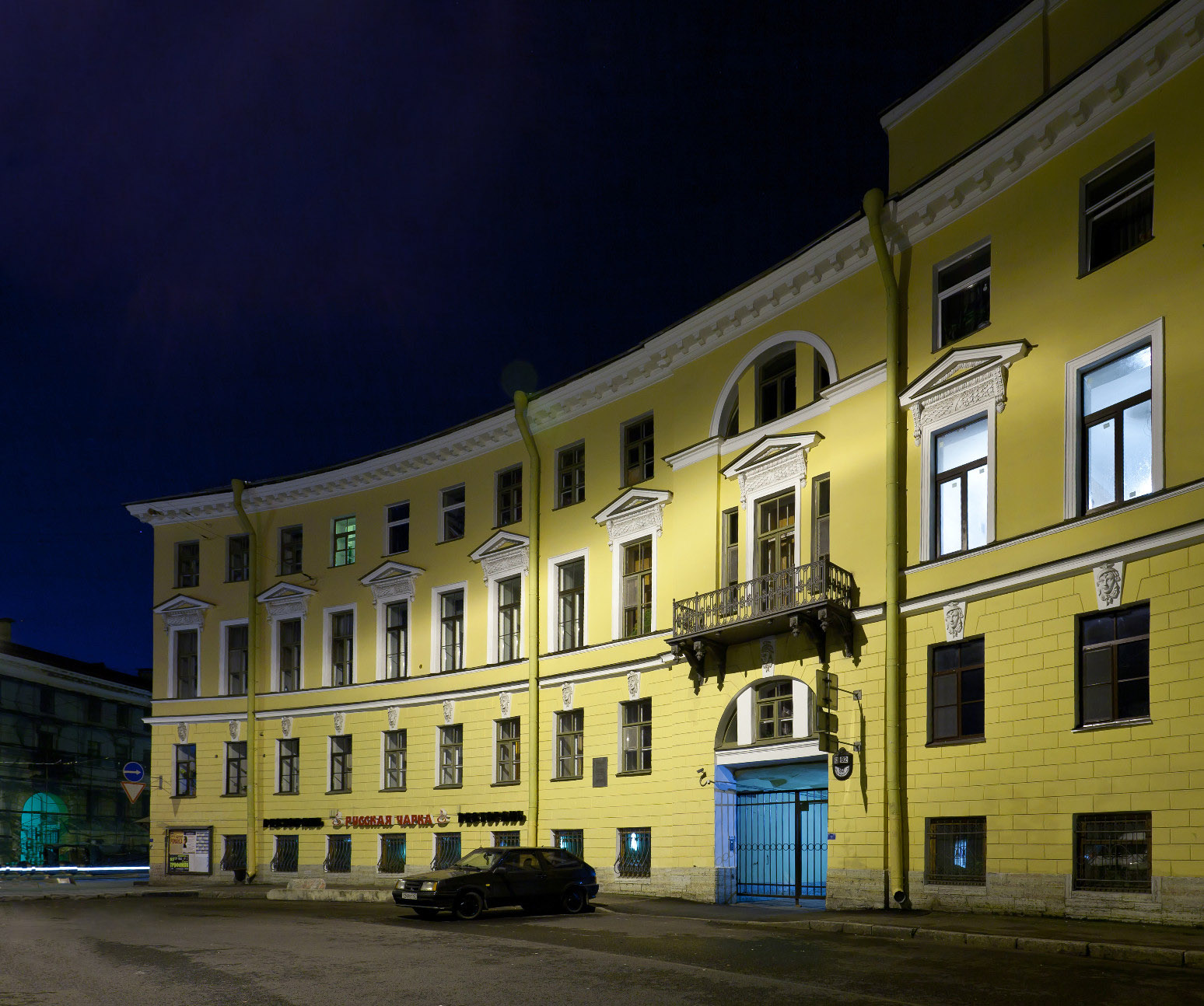
Sennoy Municipal Okrug (russian: Сенно́й муниципа́льный о́круг) is a municipal okrug of Admiralteysky District of the federal city of St. Petersburg, Russia. Population: It borders the Fontanka River in the south, Kryukov Canal in the west, Sadovaya Street and Voznesensky Avenue in the northwest, the Moyka River in the north, and Gorokhovaya Street in the east. Places of interest include Hay Square, Garden Street, Griboyedov Canal, and the Yusupov Yusupov (russian: Юсу́пов) or Yusupova (feminine; ) is a Chechens, Chechen, Tatar and Uzbeks, Uzbek surname, which is common in the countries of the former Soviet Union. It may refer to: *House of Yusupov, royal Russian family, of Tatar desce ... Palace. References {{coord missing, Saint Petersburg Admiralteysky District, Saint Petersburg ... [...More Info...] [...Related Items...] OR: [Wikipedia] [Google] [Baidu] |
Administrative Divisions Of Saint Petersburg
The federal city of Saint Petersburg, Russia, is divided into eighteen ''rayony'' ("districts", russian: районы, singular: ''rayon''), which are in turn subdivided into municipal okrugs, municipal towns, and municipal settlements. Admiralteysky District Frunzensky District Kalininsky District Kirovsky District Kolpinsky District Krasnogvardeysky District Krasnoselsky District Kronshtadtsky District Kurortny District Moskovsky District Nevsky District Petrodvortsovy District Petrogradsky District Primorsky District Pushkinsky District Tsentralny District Vasileostrovsky District Vyborgsky District References Notes Sources * See also *Saint Petersburg City Administration {{Saint Petersburg Saint Petersburg Saint Petersburg ( rus, links=no, Санкт-Петербург, a=Ru-Sankt Peterburg Leningrad Petrograd Piter.ogg, r=Sankt-Peterburg, p=ˈsankt pʲɪtʲɪrˈburk), formerly known as Petrograd (1914–1924) and late ... [...More Info...] [...Related Items...] OR: [Wikipedia] [Google] [Baidu] |
Admiralteysky District
Admiralteysky District (russian: Адмиралте́йский райо́н) is a district of the federal city of St. Petersburg, Russia. As of the 2010 Census, its population: was 157,897; down from 187,837 recorded in the 2002 Census. Geography The district borders the Neva River in the north and in the west, the Yekateringofka River in the southwest, areas around Gorokhovaya Street in the east, and areas around Zagorodny Avenue in the south. History It was established on March 11, 1994 as a result of the merger of Leninsky and Oktyabrsky Districts.Official website of the Administration of St. PetersburgAdmiralteysky District. General Information. Municipal divisions Admiralteysky District comprises the following six municipal okrugs:Law #411-68 * Admiralteysky * Izmaylovskoye *Kolomna Kolomna ( rus, Колóмна, p=kɐˈlomnə) is a historical city in Moscow Oblast, Russia, situated at the confluence of the Moskva and Oka Rivers, (by r ... [...More Info...] [...Related Items...] OR: [Wikipedia] [Google] [Baidu] |
Federal Cities Of Russia
In the Russia, Russian Federation, a city of federal importance ( rus, город федерального значения, r=gorod federalnogo znacheniya), also known as a federal city, is a types of inhabited localities in Russia, city that has a status of both an inhabited locality and a constituent Federal subjects of Russia, federal subject. There are two federal cities within Russia's internationally recognised territory: Moscow and Saint Petersburg. , Sevastopol, which is internationally recognised as part of Ukraine, is currently occupied by Russian forces and described by the Russian government as Russia's third federal city. Moscow and Saint Petersburg are list of cities and towns in Russia by population, the largest cities in the country: Moscow is the capital city, national capital and Saint Petersburg is a previous Russian capital and important port city in the Baltic Sea. Sevastopol is located in Crimea, which is internationally recognised as part of Ukraine. ... [...More Info...] [...Related Items...] OR: [Wikipedia] [Google] [Baidu] |
Saint Petersburg
Saint Petersburg ( rus, links=no, Санкт-Петербург, a=Ru-Sankt Peterburg Leningrad Petrograd Piter.ogg, r=Sankt-Peterburg, p=ˈsankt pʲɪtʲɪrˈburk), formerly known as Petrograd (1914–1924) and later Leningrad (1924–1991), is the second-largest city in Russia. It is situated on the Neva River, at the head of the Gulf of Finland on the Baltic Sea, with a population of roughly 5.4 million residents. Saint Petersburg is the fourth-most populous city in Europe after Istanbul, Moscow and London, the most populous city on the Baltic Sea, and the world's northernmost city of more than 1 million residents. As Russia's Imperial capital, and a historically strategic port, it is governed as a federal city. The city was founded by Tsar Peter the Great on 27 May 1703 on the site of a captured Swedish fortress, and was named after apostle Saint Peter. In Russia, Saint Petersburg is historically and culturally associated with t ... [...More Info...] [...Related Items...] OR: [Wikipedia] [Google] [Baidu] |
Russia
Russia (, , ), or the Russian Federation, is a List of transcontinental countries, transcontinental country spanning Eastern Europe and North Asia, Northern Asia. It is the List of countries and dependencies by area, largest country in the world, with its internationally recognised territory covering , and encompassing one-eighth of Earth's inhabitable landmass. Russia extends across Time in Russia, eleven time zones and shares Borders of Russia, land boundaries with fourteen countries, more than List of countries and territories by land borders, any other country but China. It is the List of countries and dependencies by population, world's ninth-most populous country and List of European countries by population, Europe's most populous country, with a population of 146 million people. The country's capital and List of cities and towns in Russia by population, largest city is Moscow, the List of European cities by population within city limits, largest city entirely within E ... [...More Info...] [...Related Items...] OR: [Wikipedia] [Google] [Baidu] |
Fontanka River
The Fontanka (russian: Фонтанка), a left branch of the river Neva, flows through the whole of Central Saint Petersburg, Russia – from the Summer Garden to . It is long, with a width up to , and a depth up to . The Moyka River forms a right-bank branch of the Fontanka. Lined along the Fontanka Embankment stand the former private residences of Russian nobility. This river, one of 93 rivers and channels in Saint Petersburg, was once named ''Anonymous Creek'' (in Russian, ''Bezymyannyi Yerik'', ''Безымянный ерик''). In Russian, ''yerik'' is a secondary or intermittent river-channel ( creek or brook). In 1719 the river received its present name, because water from it supplied the fountains of the Summer Garden. Until the mid-18th century the Fontanka River marked the southern boundary of Saint Petersburg. Along its banks stood the spacious messuages of members of the Russian Imperial Family and of the nobility, the most brilliant being the Summer P ... [...More Info...] [...Related Items...] OR: [Wikipedia] [Google] [Baidu] |
Kryukov Canal
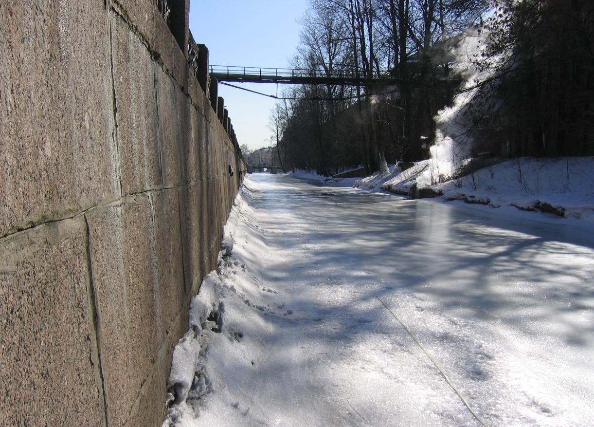
Kryukov Canal (russian: link=no, Крюков канал) is one of the Canals in central Saint Petersburg, Russia. Name In 1738, the canal was named after the contractor Semyon Kryukov. History The Kryukov Canal runs from the Admiralteysky Canal in the area of the present Labor Square and all the way to the Fontanka River. Kryukov Canal was originally dug in 1719–1720 from the Neva River to the Moyka River for transport purposes. During the construction of part of the Annunciation Bridge, some water was piped through the present Labor Square. The water pipe has survived to this day.//СПИГ Since 1830, the section from the Moyka to the Fontanka The Fontanka (russian: Фонтанка), a left branch of the river Neva, flows through the whole of Central Saint Petersburg, Russia – from the Summer Garden to . It is long, with a width up to , and a depth up to . The Moyka River for ... became called the Kryukov Canal. Granite embankments were built in 1801–1 ... [...More Info...] [...Related Items...] OR: [Wikipedia] [Google] [Baidu] |
Sadovaya Street
Sadovaya Street or Garden Street is a major thoroughfare in Saint Petersburg, Russia, passing through the historic city center. From east to west, it begins near the Field of Mars, crosses the Moika River at the First Sadovy Bridge, then passes over Spassky Island, the Kryukov Canal (at the Staro-Nikolsky Bridge), and Pokrovsky Island, before finally ending at the junction of the Griboyedov Canal and the Fontanka River. The section from the Moika to Gorokhovaya Street belongs to the Central District of the city, and the rest, to the Admiralteysky District. The street is 4376 m in length and about 8 m in width, and the distance between the buildings can be up to 18 m. The street has great cultural and historical significance, passing by many historical and architectural monuments from the 18th, 19th, and 20th centuries, including the Mikhailovsky, Vorontsov, and Moika (Yusupov) palaces. The street serves many important transportation functions, linking the central areas ... [...More Info...] [...Related Items...] OR: [Wikipedia] [Google] [Baidu] |
Voznesensky Avenue
Voznesensky Prospekt (russian: Вознесенский проспект) is a 1.8 km long street in Admiralteysky District of Saint Petersburg, Russia. Crossing Saint Isaac's Square, the Moika (Blue Bridge (Saint Petersburg), Blue Bridge) and Griboyedov Canal (Voznesensky Bridge), the street spans from Admiralteysky Prospekt to Izmaylovsky Bridge across Fontanka, where it turns into Izmaylovsky Prospekt. According to the city plan of 1737, the center of Saint Petersburg should develop along three radial axes meeting at the Admiralty building, Saint Petersburg, Admiralty's spire: Nevsky Prospekt, Gorokhovaya Street and Voznesensky Prospekt. In 1923-1991 the street was named Mayorov Prospekt (Проспект Майорова) after a prominent Bolshevik killed in the Russian Civil War. Notable buildings along the avenue *Lobanov-Rostovsky Residence External linksVoznesensky Avenue @ Encyclopaedia of Saint Petersburg Streets in Saint Petersburg {{Russia-road-stub ... [...More Info...] [...Related Items...] OR: [Wikipedia] [Google] [Baidu] |
Moyka River
The Moyka (russian: Мо́йка /MOY-ka/, also latinised as Moika) is a secondary, in comparison with the Neva River in Saint Petersburg that encircles the central portion of the city, effectively making it an island or a group of islands, together with the Neva, the Fontanka, and canals including the Griboyedov and Kryukov. The river derives its name from the Ingrian word Muya for "slush" or "mire", having its original source in former swamp. It is long and wide. The river flows from the Fontanka river, which is itself a distributary of the Neva, near the Summer Garden past the Field of Mars, crosses Nevsky Prospect and the Kryukov Canal before entering the Neva river. It is also connected with the Neva by the Swan Canal and the Winter Canal. In 1711, Peter the Great ordered the consolidation of the banks of the river. After the Kryukov Canal linked it with the Fontanka River four years later, the river became so much cleaner that its name was changed from Muya to "M ... [...More Info...] [...Related Items...] OR: [Wikipedia] [Google] [Baidu] |
Gorokhovaya Street
Gorokhovaya Street (russian: link=no, Гороховая улица) is a north-south thoroughfare in the Central Business District of Saint Petersburg. Gorokhovaya Street is one of central Saint Petersburg's major thoroughfares, extending from the Admiralty and running south, crossing the Moyka River and the Griboyedov Canal, crossing Sadovaya Street near Sennaya Square. Continuing south, it crosses the Fontanka River with the Semenovsky Bridge, and ends at Zagorodny Prospect. History The street was planned and laid after the catastrophic fires of 1736 and 1738 destroyed most of the buildings on of Saint Petersburg. The original name Sredny Prospect (literally the Middle Prospect) outlined its connection to other two prospects converging on the Admiralty building, Saint Petersburg: Nevsky Prospect (known as Bolshoy, The Larger, Prospect) and Voznesensky Avenue (known as Maliy, The Lesser, Prospect). In 1770, the street received its present name Gorokhovaya Street (literally ... [...More Info...] [...Related Items...] OR: [Wikipedia] [Google] [Baidu] |


