|
Sengiley Mountains
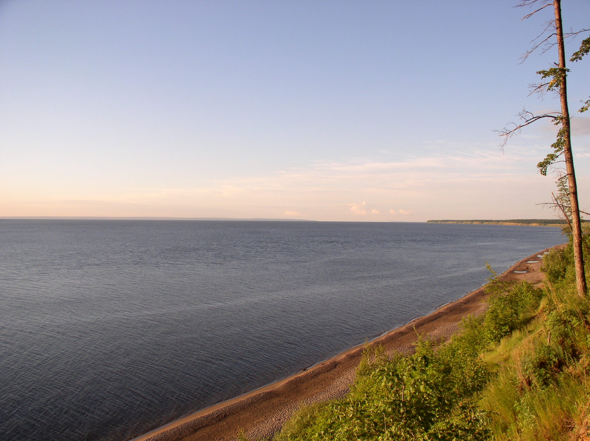
The Sengiley Hills (russian: Сенгиле́евские го́ры) are formed on the edge of the Volga Uplands, on the right bank of the middle Volga River in the Ulyanovsk Oblast, Uluyanovsk region of Russia. The area is part of the forest-steppe region, featuring representatives of forest: birch, pine tree, oak. The river banks of the Volga River along the eastern edge are on the Kuybyshev Reservoir. Much of the Sengiley region has been protected in the boundaries of the Sengileevskie Mountains National Park. This park was established in 2017. References {{authority control Geography of Ulyanovsk Oblast ... [...More Info...] [...Related Items...] OR: [Wikipedia] [Google] [Baidu] |
Ulyanovsk Oblast
Ulyanovsk Oblast (russian: Ульяновская область, ''Ul’janovskaja oblast’'') is a federal subject of Russia (an oblast). It is located in the Volga Federal District. Its administrative center is the city of Ulyanovsk. Population: 1,292,799 ( 2010 Census). Geography Ulyanovsk Oblast borders with Chuvashia (N), Tatarstan (NE), Samara Oblast (E), Saratov Oblast (S), Penza Oblast (W), and Mordovia (NW). It is located on the northern edge of Central Steppes. A quarter of its territory is covered with deciduous forests; the rest is covered with steppes and meadows. The oblast is divided in half by the Volga River. Hilly areas to the west of the Volga are known as Volga Upland (elevations up to 358 m (1,175 ft) ). Eastern part of the oblast is mostly flat. The water table occupies about 6% of territory. Ulyanovsk Oblast has moderately continental, highly volatile climate. Temperature averages at +19 °C (66 °F) in July, and −11 °C (1 ... [...More Info...] [...Related Items...] OR: [Wikipedia] [Google] [Baidu] |
Volga Uplands
The Volga Upland, also known as the Volga Uplands, Volga Hills, or Volga Plateau, (Russian: Приволжская возвышенность - Privolzhskaya vozvyshennost) is a vast region of the East European Plain in the European part of Russia that lies west of the Volga River and east of the Central Russian Upland. The uplands lie in the cool continental climate zone, characterised by large fluctuations in seasonal temperatures and generally little rainfall. Outside of the cities in the region, population density is generally between 28 and 129 inhabitants per square mile. Geography The uplands run for approximately in a southwest-northeasterly direction from Volgograd to Kazan. The Tsimlyansk Reservoir lies at the southwestern end of the Volga Upland, with the Kuybyshev Reservoir at the northeastern end. The landscape on the Volga Uplands is hilly, and several rivers have cut into it, such as the Khopyor, Medveditsa and the Sura. The Volga-Don Canal cuts through th ... [...More Info...] [...Related Items...] OR: [Wikipedia] [Google] [Baidu] |
Volga River
The Volga (; russian: Во́лга, a=Ru-Волга.ogg, p=ˈvoɫɡə) is the List of rivers of Europe#Rivers of Europe by length, longest river in Europe. Situated in Russia, it flows through Central Russia to Southern Russia and into the Caspian Sea. The Volga has a length of , and a catchment area of «Река Волга» , Russian State Water Registry which is more than twice the size of Ukraine. It is also Europe's largest river in terms of average discharge (hydrology), discharge at delta – between and – and of drainage basin. It is widely regarded as the Rivers in Russia, national river of Russia. The hypothetical old Russian state, the Rus' Khaganate, arose along the Volga . Historically, the river served as an important meeting place of various Eurasian civilizations. The river flows in Russia through forests, Fo ... [...More Info...] [...Related Items...] OR: [Wikipedia] [Google] [Baidu] |
Kuybyshev Reservoir
Kuybyshev Reservoir or Kuybyshevskoye Reservoir (russian: Ку́йбышевское водохрани́лище, Kuybyshevskoye Vodokhranilishche), sometimes called Samara Reservoir and informally called Kuybyshev Sea, is a reservoir of the middle Volga and lower Kama in Chuvashia, Mari El Republic, Republic of Tatarstan, Samara Oblast and Ulyanovsk Oblast, Russia. The Kuybyshev Reservoir has a surface area of 6,450 km² and a volume of 58 billion cubic meters. It is the largest reservoir in Europe and third in the world by surface area. The major cities of Kazan, Ulyanovsk, and Tolyatti are adjacent to the reservoir. The reservoir was created by the dam of Zhiguli Hydroelectric Station (formerly, V.I. Lenin Volga Hydroelectric Station), located between the cities of Zhigulevsk and Tolyatti in Samara Oblast. It was filled in 1955–1957. With the filling of the reservoir in the 1950s, some villages and towns were submerged by the rising water and were re ... [...More Info...] [...Related Items...] OR: [Wikipedia] [Google] [Baidu] |
Sengileevskie Mountains National Park
Sengileevskie Mountains National Park (russian: Национальный парк «Сенгилеевские горы») is located in the low Sengiley Mountains area of the Volga Uplands, along the middle Volga River in Russia. The 'mountains' are technically plateau with deep ravines and river cuts, about three-quarters forested. The park was officially created in 2017, with the stated purpose of protecting the unique environment of the Ulyanovsk region and promoting environmental education. The park is located in Sengileyevsky District in Ulyanovsk Oblast. Topography Most of the park is on the hilly right bank of the Kuybyshev Reservoir, featuring chalky outcrops and stony forb steppe plant communities. There is a smaller sector on the lowland floodplains across the river. The park has a number of "ecological" trails exploring the biodiversity and rare species of the forest-steppe landscape. Ecoregion and climate The ecoregion of the park is the East European forest step ... [...More Info...] [...Related Items...] OR: [Wikipedia] [Google] [Baidu] |

