|
Seltanahunshin
Seltanahunshin (Irish derived place name, either ''Sailtean na hUinseann'' meaning 'The Wood of the Sallows and Ash Trees' or ''Sailten na n-Gasán'' meaning the 'Sally-Wood of the Paths') is a townland in the civil parishes in Ireland, civil parish of Oughteragh, barony of Carrigallen, County Leitrim, Republic of Ireland, Ireland. Geography Seltanahunshin is bounded on the north by Doon (Drumreilly) townland, on the south by Tullylackan Beg townland, on the west by Altakeeran and Slievenakilla townlands and on the east by Curraghnabania, Garryfliugh and Knockfin townlands. Its chief geographical features are Sliabh an Iarainn mountain, reaching a height of 1,251 feet, the Yellow River, waterfalls, forestry plantations, small streams and river swallow holes. Seltanahunshin is traversed by minor public roads and rural lanes. The townland covers 819 statute acres. History The Battle of Magh Slecht took place in the townland in 1256 between the O’Rourkes and the O’Reillys. Dead ... [...More Info...] [...Related Items...] OR: [Wikipedia] [Google] [Baidu] |
Garryfliugh
Garryfliugh () is a townland in the civil parishes in Ireland, civil parish of Drumreilly, barony of Tullyhaw, County Cavan, Republic of Ireland, Ireland. Geography Garryfliugh is bounded on the west by Doon (Drumreilly), Knockfin and Seltanahunshin townlands and on the east by Ardmoneen, Corraleehanbeg and Drumderg townlands. Its chief geographical features are Sliabh an Iarainn mountain on whose eastern slope it lies, reaching a height of 1,250 feet, a waterfall, forestry plantations, woods, mountain streams and dug wells. It is traversed by minor public roads and rural lanes. The townland covers 304 statute acres. History The Battle of Magh Slecht took place in the townland in 1256 between the O’Rourkes and the O’Reillys. Dead bodies from the battle are sometimes discovered buried in the townland. The landlord of Garryfliugh in the 19th century was the Beresford Estate. The Tithe Applotment Books for 1834 spells the name as ''Garfullagh'' and list five tithepayers in t ... [...More Info...] [...Related Items...] OR: [Wikipedia] [Google] [Baidu] |
Doon (Drumreilly)
Doon () is a townland in the civil parish of Drumreilly, barony of Tullyhaw, County Cavan, Ireland. Geography Doon is bounded on the north by Derrynananta Upper townland, on the west by Moneensauran, Seltanahunshin and Slievenakilla townlands and on the east by Ardmoneen, Garryfliugh, Lannanerriagh and Moher (Drumreilly) townlands. Its chief geographical features are Bartonny Top mountain (Irish = Bharr an Tonnaigh = The Top of the Mound) which reaches a height of 411 metres, Bartonny Lough, mountain pools, the Yellow River, forestry plantations, small streams and river swallow holes. Doon is traversed by minor public roads and rural lanes. The townland covers 1,190 statute acres. History The 1665 Down Survey map depicts the townland as ''Bartunny''. An Inquisition held in Cavan Town on 20 September 1630 found that, at the date of his death on 26 June 1625, Walter Talbot of Ballyconnell owned, inter alia, ''2 polls in Bartony''. The lands passed to his son James Talbot, b ... [...More Info...] [...Related Items...] OR: [Wikipedia] [Google] [Baidu] |
Knockfin
Knockfin () is a townland in the civil parish of Drumreilly, barony of Tullyhaw, County Cavan, Ireland. Geography Knockfin is bounded on the west by Curraghnabania and Seltanahunshin townlands and on the east by Corraleehanbeg, Garryfliugh and Prabagh townlands. Its chief geographical features are Sliabh an Iarainn mountain on whose eastern slope it lies, mountain streams, waterfalls, a lime-kiln and dug wells. It is traversed by minor public roads and rural lanes. The townland covers 228 statute acres. History The landlord of the townland in the 19th century was the Beresford Estate. The Tithe Applotment Books for 1834 spells the name as ''Kockfin'' and list three tithepayers in the townland. The 1836 Ordnance survey Namebooks state- ''The soil is light yellow clay intermixed with sand & limestone, neither of which is quarried or used in any way''. Griffith's Valuation Griffith's Valuation was a boundary and land valuation survey of Ireland completed in 1868. Griffith ... [...More Info...] [...Related Items...] OR: [Wikipedia] [Google] [Baidu] |
Battle Of Magh Slecht
The Battle of Magh Slécht took place at Magh Slécht in Ireland in 1256. The battle was part of a wider conflict between the O'Rourke rulers of Breifne and their traditional O'Reilly vassals over control of the kingdom. Both sides were assisted by their respective allies, the O'Connor kings of Connacht and their Burke opponents. The battle marks the point at which the Kingdom of Breifne was left permanently divided, creating West Breifne (O'Rourke) and East Breifne (O'Reilly). Prelude Ally of the O'Reillys, Walter de Burgh, raided deep into Connacht and devastated the O'Connors. According to the Annals of Connacht, de Burgh had an army of 20,000 men, but this is most definitely exaggerated. This was followed by an O'Reilly attack in western Breifne (modern County Leitrim), the home territory of the O'Rourkes. The two armies were meant to rendezvous at Lough Allen but the O'Reillys came under heavy attack in the townland of Seltanahunshin, County Leitrim and retreated northwards ... [...More Info...] [...Related Items...] OR: [Wikipedia] [Google] [Baidu] |
Townland
A townland ( ga, baile fearainn; Ulster-Scots: ''toonlann'') is a small geographical division of land, historically and currently used in Ireland and in the Western Isles in Scotland, typically covering . The townland system is of Gaelic origin, pre-dating the Norman invasion, and most have names of Irish origin. However, some townland names and boundaries come from Norman manors, plantation divisions, or later creations of the Ordnance Survey.Connolly, S. J., ''The Oxford Companion to Irish History, page 577. Oxford University Press, 2002. ''Maxwell, Ian, ''How to Trace Your Irish Ancestors'', page 16. howtobooks, 2009. The total number of inhabited townlands in Ireland was 60,679 in 1911. The total number recognised by the Irish Place Names database as of 2014 was 61,098, including uninhabited townlands, mainly small islands. Background In Ireland a townland is generally the smallest administrative division of land, though a few large townlands are further divided into h ... [...More Info...] [...Related Items...] OR: [Wikipedia] [Google] [Baidu] |
Annals Of Ulster
The ''Annals of Ulster'' ( ga, Annála Uladh) are annals of medieval Ireland. The entries span the years from 431 AD to 1540 AD. The entries up to 1489 AD were compiled in the late 15th century by the scribe Ruaidhrí Ó Luinín, under his patron Cathal Óg Mac Maghnusa, on the island of ''Senadh-Mic-Maghnusa'', also known as ''Senad'' or Ballymacmanus Island (now known as Belle Isle, where Belle Isle Castle is located), near Lisbellaw, on Lough Erne in the kingdom of ''Fir Manach'' (Fermanagh). Later entries (up to AD 1540) were added by others. Entries up to the mid-6th century are retrospective, drawing on earlier annalistic and historical texts, while later entries were contemporary, based on recollection and oral history. T. M. Charles-Edwards has claimed that the main source for its records of the first millennium A.D. is a now lost Armagh continuation of the '' Chronicle of Ireland''. The Annals used the Irish language, with some entries in Latin. Becaus ... [...More Info...] [...Related Items...] OR: [Wikipedia] [Google] [Baidu] |
Census Of Ireland, 1901
A census is the procedure of systematically acquiring, recording and calculating information about the members of a given population. This term is used mostly in connection with national population and housing censuses; other common censuses include censuses of agriculture, traditional culture, business, supplies, and traffic censuses. The United Nations (UN) defines the essential features of population and housing censuses as "individual enumeration, universality within a defined territory, simultaneity and defined periodicity", and recommends that population censuses be taken at least every ten years. UN recommendations also cover census topics to be collected, official definitions, classifications and other useful information to co-ordinate international practices. The UN's Food and Agriculture Organization (FAO), in turn, defines the census of agriculture as "a statistical operation for collecting, processing and disseminating data on the structure of agriculture, covering th ... [...More Info...] [...Related Items...] OR: [Wikipedia] [Google] [Baidu] |
Bishop Of Kilmore
The Bishop of Kilmore is an episcopal title which takes its name after the parish of Kilmore, County Cavan in Ireland. In the Roman Catholic Church it remains a separate title, but in the Church of Ireland it has been united with other bishoprics. History The see of Kilmore was originally known as Breifne (Latin: ''Tirbrunensis'', ''Tybruinensis'' or ''Triburnia''; Irish: ''Tír mBriúin'', meaning "the land of the descendants of Brian", one of the kings of Connaught) and took its name after the Kingdom of Breifne., ''Handbook of British Chronology'', p. 362. The see became one of the dioceses approved by Giovanni Cardinal Paparoni at the synod of Kells in 1152, and has approximately the same boundaries as those of the ancient Kingdom of Breifne. In the Irish annals, the bishops were recorded of ''Breifne'', ''Breifni'', ''Breifny'', ''Tir-Briuin'', or ''Ui-Briuin-Breifne''. In the second half of the 12th century, it is likely the sees of Breifne and Kells were ruled tog ... [...More Info...] [...Related Items...] OR: [Wikipedia] [Google] [Baidu] |
Griffith's Valuation
Griffith's Valuation was a boundary and land valuation survey of Ireland completed in 1868. Griffith's background Richard John Griffith started to value land in Scotland, where he spent two years in 1806-1807 valuing terrain through the examination of its soils. He used 'the Scotch system of valuation' and it was a modified version of this that he introduced into Ireland when he assumed the position of Commissioner of Valuation. Tasks in Ireland In 1825 Griffith was appointed by the British Government to carry out a boundary survey of Ireland. He was to mark the boundaries of every county, barony, civil parish and townland in preparation for the first Ordnance Survey. He completed the boundary work in 1844. He was also called upon to assist in the preparation of a Parliamentary bill to provide for the general valuation of Ireland. This Act was passed in 1826, and he was appointed Commissioner of Valuation in 1827, but did not start work until 1830 when the new 6" maps, became av ... [...More Info...] [...Related Items...] OR: [Wikipedia] [Google] [Baidu] |
William Petty
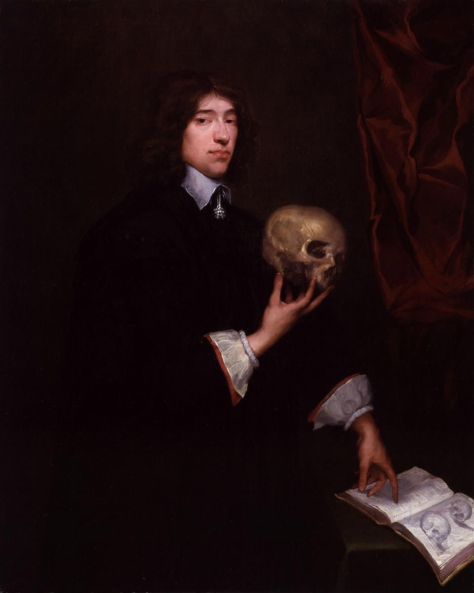
Sir William Petty FRS (26 May 1623 – 16 December 1687) was an English economist, physician, scientist and philosopher. He first became prominent serving Oliver Cromwell and the Commonwealth in Ireland. He developed efficient methods to survey the land that was to be confiscated and given to Cromwell's soldiers. He also remained a significant figure under King Charles II and King James II, as did many others who had served Cromwell. Petty was also a scientist, inventor, and merchant, a charter member of the Royal Society, and briefly a Member of the Parliament of England. However, he is best remembered for his theories on economics and his methods of ''political arithmetic''. He is attributed with originating the laissez-faire economic philosophy. He was knighted in 1661. He was the great-grandfather of the 1st Marquess of Lansdowne (better known to history as the 2nd Earl of Shelburne), who served as Prime Minister of Great Britain, 1782–1783. Life Early life Petty ... [...More Info...] [...Related Items...] OR: [Wikipedia] [Google] [Baidu] |
Charles II Of England
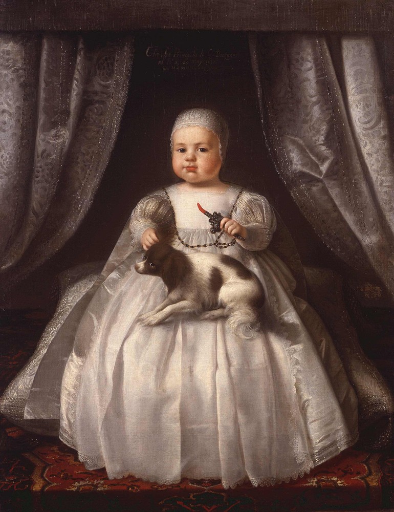
Charles II (29 May 1630 – 6 February 1685) was King of Scotland from 1649 until 1651, and King of England, Scotland and Ireland from the 1660 Restoration of the monarchy until his death in 1685. Charles II was the eldest surviving child of Charles I of England, Scotland and Ireland and Henrietta Maria of France. After Charles I's execution at Whitehall on 30 January 1649, at the climax of the English Civil War, the Parliament of Scotland proclaimed Charles II king on 5 February 1649. But England entered the period known as the English Interregnum or the English Commonwealth, and the country was a de facto republic led by Oliver Cromwell. Cromwell defeated Charles II at the Battle of Worcester on 3 September 1651, and Charles fled to mainland Europe. Cromwell became virtual dictator of England, Scotland and Ireland. Charles spent the next nine years in exile in France, the Dutch Republic and the Spanish Netherlands. The political crisis that followed Cromwell's death in 1 ... [...More Info...] [...Related Items...] OR: [Wikipedia] [Google] [Baidu] |
Annals Of The Four Masters
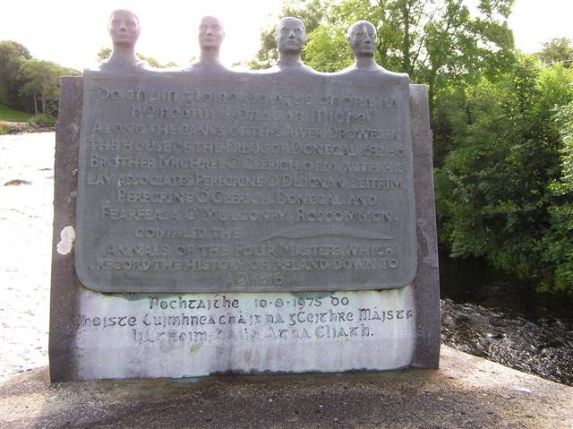
The ''Annals of the Kingdom of Ireland'' ( ga, Annála Ríoghachta Éireann) or the ''Annals of the Four Masters'' (''Annála na gCeithre Máistrí'') are chronicles of medieval Irish history. The entries span from the Deluge, dated as 2,242 years after creation to AD 1616. Publication delay Due to the criticisms by 17th century Irish historian Tuileagna Ó Maol Chonaire, the text was not published in the lifetimes of any of the participants. Text The annals are mainly a compilation of earlier annals, although there is some original work. They were compiled between 1632 and 1636, allegedly in a cottage beside the ruins of Donegal Abbey, just outside Donegal Town. At this time, however, the Franciscans had a house of refuge by the River Drowes in County Leitrim, just outside Ballyshannon, and it was here, according to others, that the ''Annals'' were compiled. [...More Info...] [...Related Items...] OR: [Wikipedia] [Google] [Baidu] |


