|
Sedgwick Glacier
Sedgwick Glacier () is a glacier on the east coast of Alexander Island, Antarctica, 7 nautical miles (13 km) long and 2 nautical miles (3.7 km) wide, which flows east from the foot of Mount Stephenson into George VI Sound immediately north of Mount Huckle. The glacier was first roughly surveyed in 1936 by the British Graham Land Expedition under Rymill. Resurveyed in 1948 by the Falkland Islands Dependencies Survey and named by them for Adam Sedgwick, English geologist and professor of geology at Cambridge University, 1818–73. See also * List of glaciers in the Antarctic * Eros Glacier * Grotto Glacier * Transition Glacier Transition Glacier () is a glacier extending along the east coast of Alexander Island, 8 nautical miles (15 km) long and 2 nautical miles (3.7 km) wide, which flows east into the George VI Ice Shelf that occupies George VI Sound along t ... Glaciers of Alexander Island {{AlexanderIsland-geo-stub ... [...More Info...] [...Related Items...] OR: [Wikipedia] [Google] [Baidu] |
Glacier
A glacier (; ) is a persistent body of dense ice that is constantly moving under its own weight. A glacier forms where the accumulation of snow exceeds its Ablation#Glaciology, ablation over many years, often Century, centuries. It acquires distinguishing features, such as Crevasse, crevasses and Serac, seracs, as it slowly flows and deforms under stresses induced by its weight. As it moves, it abrades rock and debris from its substrate to create landforms such as cirques, moraines, or fjords. Although a glacier may flow into a body of water, it forms only on land and is distinct from the much thinner sea ice and lake ice that form on the surface of bodies of water. On Earth, 99% of glacial ice is contained within vast ice sheets (also known as "continental glaciers") in the polar regions, but glaciers may be found in mountain ranges on every continent other than the Australian mainland, including Oceania's high-latitude oceanic island countries such as New Zealand. Between lati ... [...More Info...] [...Related Items...] OR: [Wikipedia] [Google] [Baidu] |
Alexander Island
Alexander Island, which is also known as Alexander I Island, Alexander I Land, Alexander Land, Alexander I Archipelago, and Zemlja Alexandra I, is the largest island of Antarctica. It lies in the Bellingshausen Sea west of Palmer Land, Antarctic Peninsula from which it is separated by Marguerite Bay and George VI Sound. The George VI Ice Shelf entirely fills George VI Sound and connects Alexander Island to Palmer Land. The island partly surrounds Wilkins Sound, which lies to its west.Stewart, J. (2011) ''Antarctic An Encyclopedia'' McFarland & Company Inc, New York. 1776 pp. . Alexander Island is about long in a north–south direction, wide in the north, and wide in the south. Alexander Island is the second-largest uninhabited island in the world, after Devon Island. History Alexander Island was discovered on January 28, 1821, by a Russian expedition under Fabian Gottlieb von Bellingshausen, who named it Alexander I Land for the reigning Tsar Alexander I of Russia. Wha ... [...More Info...] [...Related Items...] OR: [Wikipedia] [Google] [Baidu] |
Antarctica
Antarctica () is Earth's southernmost and least-populated continent. Situated almost entirely south of the Antarctic Circle and surrounded by the Southern Ocean, it contains the geographic South Pole. Antarctica is the fifth-largest continent, being about 40% larger than Europe, and has an area of . Most of Antarctica is covered by the Antarctic ice sheet, with an average thickness of . Antarctica is, on average, the coldest, driest, and windiest of the continents, and it has the highest average elevation. It is mainly a polar desert, with annual precipitation of over along the coast and far less inland. About 70% of the world's freshwater reserves are frozen in Antarctica, which, if melted, would raise global sea levels by almost . Antarctica holds the record for the lowest measured temperature on Earth, . The coastal regions can reach temperatures over in summer. Native species of animals include mites, nematodes, penguins, seals and tardigrades. Where vegetation o ... [...More Info...] [...Related Items...] OR: [Wikipedia] [Google] [Baidu] |
Mount Stephenson
Mount Stephenson a mountain in Antarctica. It is located within the central portion of the Douglas Range, standing at the heads of Toynbee Glacier and Sedgwick Glacier west of George VI Sound, near the east coast of Alexander Island within the British Antarctic Territory. At an elevation of , Mount Stephenson is the highest mountain in the Douglas Range and the highest point on Alexander Island. Mount Egbert ranks second, standing at 2,895 m and lies south-southeast of Mount Stephenson."Mount Stephenson, Antarctica" Peakbagger.com. Retrieved 2011-11-23. The mountain was probably first seen in 1909 by the under Charcot, but not recogni ... [...More Info...] [...Related Items...] OR: [Wikipedia] [Google] [Baidu] |
George VI Sound
George VI Sound or Canal Jorge VI or Canal Presidente Sarmiento or Canal Seaver or King George VI Sound or King George the Sixth Sound is a major bay/ fault depression, 300 miles (483 km) long and mainly covered by a permanent ice shelf. It is in the shape of the letter J without any upper bar. It lines the east and south shores of Alexander Island, separating it from the vestigial, quite small, Wordie Ice Shelf and Palmer Land (the south-west of the Antarctic Peninsula) and the north-facing "English Coast". A quite central point of it is . Various lakes adjoin; these receive large amounts of melt ice from the George VI Ice Shelf. These include Hodgson, Moutonee and Ablation Lakes. Several glaciers flow eastward into the sound from the east interior of Alexander Island, the vast majority of these glaciers are south of Planet Heights, where all of these glaciers are named after moons, satellites and planets of the Solar System in the same vein as the Heights, named by the ... [...More Info...] [...Related Items...] OR: [Wikipedia] [Google] [Baidu] |
Mount Huckle
Mount Huckle is a mainly ice-covered mountain, high, near the northern end of the Douglas Range in eastern Alexander Island, Antarctica Antarctica () is Earth's southernmost and least-populated continent. Situated almost entirely south of the Antarctic Circle and surrounded by the Southern Ocean, it contains the geographic South Pole. Antarctica is the fifth-largest contine .... It rises south-southeast of Mount Spivey on the west side of Toynbee Glacier and is inland from George VI Sound. Mount Huckle is the fourth highest mountain of Alexander Island, proceeded by Mount Cupola and succeeded by Mount Paris in the nearby Rouen Mountains. The mountain was possibly first seen in 1909 by the French Antarctic Expedition, 1908–10, French Antarctic Expedition under Jean-Baptiste Charcot, but not recognized as part of Alexander Island. It was photographed from the air in 1936–37 by the British Graham Land Expedition under John Riddoch Rymill, and surveyed from the ground ... [...More Info...] [...Related Items...] OR: [Wikipedia] [Google] [Baidu] |
Falkland Islands Dependencies Survey
The British Antarctic Survey (BAS) is the United Kingdom's national polar research institute. It has a dual purpose, to conduct polar science, enabling better understanding of global issues, and to provide an active presence in the Antarctic on behalf of the UK. It is part of the Natural Environment Research Council (NERC). With over 400 staff, BAS takes an active role in Antarctic affairs, operating five research stations, one ship and five aircraft in both polar regions, as well as addressing key global and regional issues. This involves joint research projects with over 40 UK universities and more than 120 national and international collaborations. Having taken shape from activities during World War II, it was known as the Falkland Islands Dependencies Survey until 1962. History Operation Tabarin was a small British expedition in 1943 to establish permanently occupied bases in the Antarctic. It was a joint undertaking by the Admiralty and the Colonial Office. At the end of t ... [...More Info...] [...Related Items...] OR: [Wikipedia] [Google] [Baidu] |
Adam Sedgwick
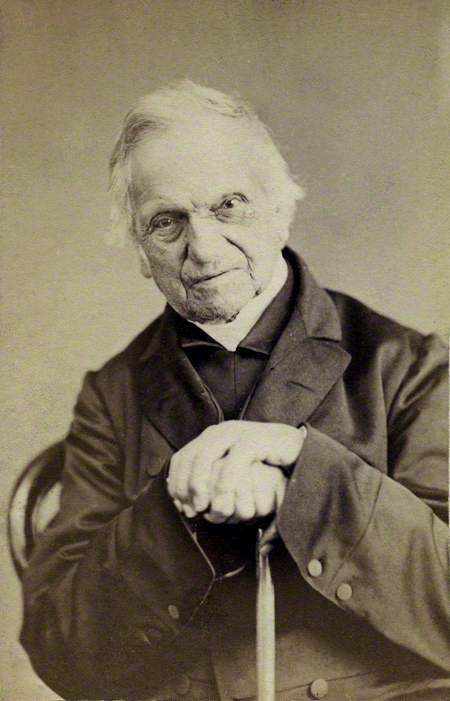
Adam Sedgwick (; 22 March 1785 – 27 January 1873) was a British geologist and Anglican priest, one of the founders of modern geology. He proposed the Cambrian and Devonian period of the geological timescale. Based on work which he did on Welsh rock strata, he proposed the Cambrian period in 1835, in a joint publication in which Roderick Murchison also proposed the Silurian period. Later in 1840, to resolve what later became known as the Great Devonian Controversy about rocks near the boundary between the Silurian and Carboniferous periods, he and Murchison proposed the Devonian period. Though he had guided the young Charles Darwin in his early study of geology and continued to be on friendly terms, Sedgwick was an opponent of Darwin's theory of evolution by means of natural selection. He strongly opposed the admission of women to the University of Cambridge, in one conversation describing aspiring female students as "nasty forward minxes." Life and career Sedgwick was b ... [...More Info...] [...Related Items...] OR: [Wikipedia] [Google] [Baidu] |
Geologist
A geologist is a scientist who studies the solid, liquid, and gaseous matter that constitutes Earth and other terrestrial planets, as well as the processes that shape them. Geologists usually study geology, earth science, or geophysics, although backgrounds in physics, chemistry, biology, and other sciences are also useful. Field research (field work) is an important component of geology, although many subdisciplines incorporate laboratory and digitalized work. Geologists can be classified in a larger group of scientists, called geoscientists. Geologists work in the energy and mining sectors searching for natural resources such as petroleum, natural gas, precious and base metals. They are also in the forefront of preventing and mitigating damage from natural hazards and disasters such as earthquakes, volcanoes, tsunamis and landslides. Their studies are used to warn the general public of the occurrence of these events. Geologists are also important contributors to climate ch ... [...More Info...] [...Related Items...] OR: [Wikipedia] [Google] [Baidu] |
Geology
Geology () is a branch of natural science concerned with Earth and other astronomical objects, the features or rocks of which it is composed, and the processes by which they change over time. Modern geology significantly overlaps all other Earth sciences, including hydrology, and so is treated as one major aspect of integrated Earth system science and planetary science. Geology describes the structure of the Earth on and beneath its surface, and the processes that have shaped that structure. It also provides tools to determine the relative and absolute ages of rocks found in a given location, and also to describe the histories of those rocks. By combining these tools, geologists are able to chronicle the geological history of the Earth as a whole, and also to demonstrate the age of the Earth. Geology provides the primary evidence for plate tectonics, the evolutionary history of life, and the Earth's past climates. Geologists broadly study the properties and processes of E ... [...More Info...] [...Related Items...] OR: [Wikipedia] [Google] [Baidu] |
Cambridge University
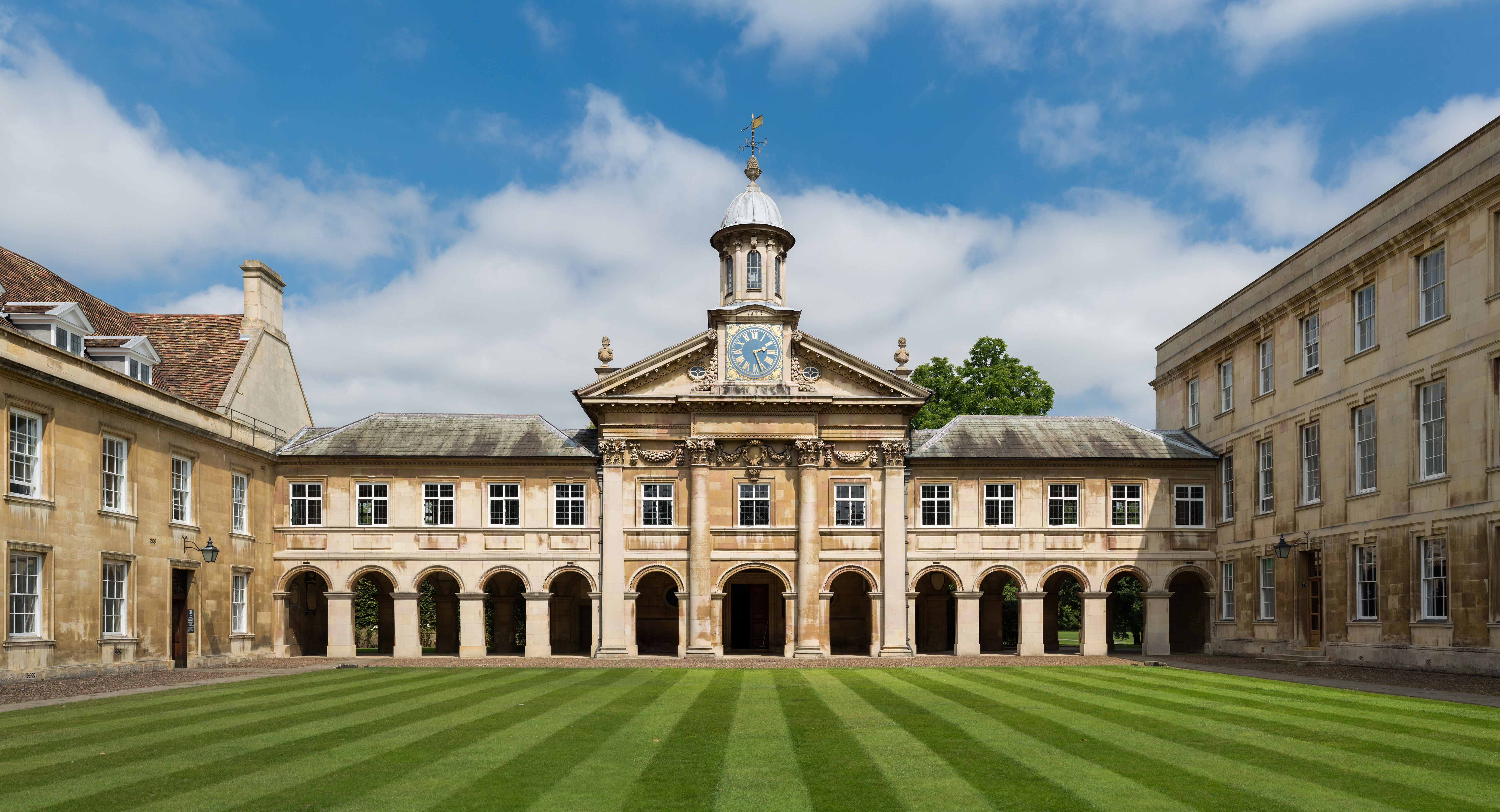
, mottoeng = Literal: From here, light and sacred draughts. Non literal: From this place, we gain enlightenment and precious knowledge. , established = , other_name = The Chancellor, Masters and Scholars of the University of Cambridge , type = Public research university , endowment = £7.121 billion (including colleges) , budget = £2.308 billion (excluding colleges) , chancellor = The Lord Sainsbury of Turville , vice_chancellor = Anthony Freeling , students = 24,450 (2020) , undergrad = 12,850 (2020) , postgrad = 11,600 (2020) , city = Cambridge , country = England , campus_type = , sporting_affiliations = The Sporting Blue , colours = Cambridge Blue , website = , logo = University of Cambridge logo ... [...More Info...] [...Related Items...] OR: [Wikipedia] [Google] [Baidu] |


.jpg)


