|
Seaview SVII
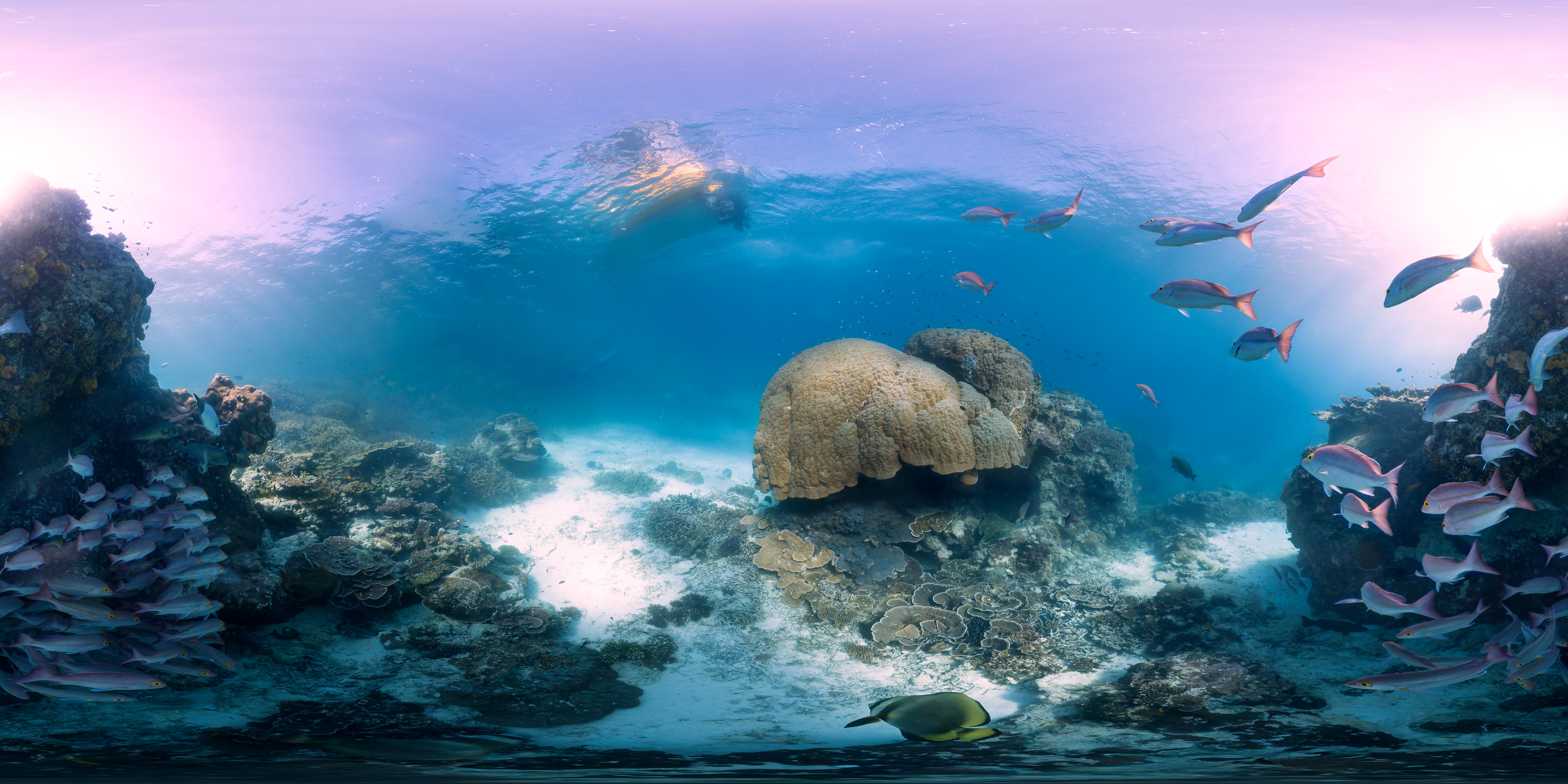
The Seaview SVII is an underwater camera designed by the Catlin Seaview Survey team, intended to photograph coral reefs to provide visual documentation of a reef's health. The camera is designed to be controlled by a diver in shallow waters, and is propelled at a constant slow speed by a propeller mounted near the rear of the camera. Only two SVIIs are currently in existence. The cameras were used by the Catlin Seaview Survey and Google to create Google Ocean, a means of displaying underwater images using Google's existing Street View platform. Purpose The SVII camera was designed as a replacement for its prototype predecessor, the SVI, to take thousands of images of the shallow waters of the Great Barrier Reef and other endangered coral reefs around the world. The imagery and data generated by the camera and its operators is intended to provide a visual record of the health of the reefs, creating a baseline record for the reefs' health to be compared to future surveys. Addition ... [...More Info...] [...Related Items...] OR: [Wikipedia] [Google] [Baidu] |
Catlin Seaview Survey
The Catlin Seaview Survey, later renamed the XL Catlin Seaview Survey, was a major scientific expedition which commenced in September 2012, whose aim was to document the composition and health of coral reefs worldwide. Specifically, the survey aimed to "carry out a rapid assessment of the current state of coral reef systems and to make this scientific record publicly available for scientists worldwide to use". The survey was sponsored by the Catlin Group until the survey ended when the Catlin group ended sponsorship. The original team created a film, chasing coral and a new, global initiative known as 50 reefs. History The survey started in September 2012, and was focused on sections of the Great Barrier Reef across a range of depths. Specifically, 32 reefs were sampled, which equated to approximately of reef. This produced around 105,000 images, which are currently being analysed by scientists globally, using image recognition software. In addition to imaging shallow reefs, the ... [...More Info...] [...Related Items...] OR: [Wikipedia] [Google] [Baidu] |
Hanauma Bay
Hanauma (; ) is a marine embayment formed within a tuff ring and located along the southeast coast of the Island of Oahu in the Hawaii Kai neighborhood of East Honolulu, in the Hawaiian Islands. Hanauma is one of the most popular tourist destinations on the Island and has suffered somewhat from overtourism. At one time, this popular tourist destination accommodated over three million visitors per year. In 1956, dynamite was used to clear portions of the reef to make room for telephone cables linking Hawaii to the west coast of the US. Name The prefix ''hana'' means bay in the Hawaiian language (the usual addition of bay in its name is thus redundant). There are two etymological interpretations of the second part of its name. One interpretation derives it from the Hawaiian word for curve, referring to either the shape of the feature or to the shape of the indigenous canoes that were launched there. Another stems from the indigenous hand-wrestling game known as " Uma". Marine l ... [...More Info...] [...Related Items...] OR: [Wikipedia] [Google] [Baidu] |
Apo Island
Apo Island is a volcanic island covering 74 hectares in land area, 7 kilometers off the southeastern tip of Negros Island and 30 kilometers south of the Negros Oriental capital of Dumaguete in the Philippines. The name "Apo" means "elder" or "respected ancestor" in the Visayan languages. The marine habitat around the island is a marine reserve, protected by the National Integrated Protected Area Act (NIPA) and under the jurisdiction of the Protected Area Management Board (PAMB). It has become a popular dive site and snorkeling destination with tourists. There are two resorts on Apo Island, each with a dive center: Apo Island Beach Resort and Liberty's Lodge. There is also a ranger station and a lighthouse. The island is under the jurisdiction of the municipality of Dauin, Negros Oriental, and is one of the municipality's 23 barangays. As of the 2010 census, the island has a population of 918. Geography and climate Apo Island is located off the southeastern tip of Negros Island, ... [...More Info...] [...Related Items...] OR: [Wikipedia] [Google] [Baidu] |
Wilson Island (Queensland)
Wilson Island is an island in the Gladstone Region, Queensland, Australia. It is one of eight vegetated coral cays in the Capricornia Cays National Park. It is located north of the Tropic of Capricorn, approximately north east off the coast of Gladstone, Queensland and 15 kilometres from nearby Heron Island. It is part of the Capricornia Cays Important Bird Area. It is also part of the Great Barrier Reef World Heritage Area. History The island is named after Sub-Lieutenant William T.P. Wilson of HMS Waterwitch. Wildlife Wilson Island is an important turtle and bird rookery fringed by a white coral beach and covered with pisonia forest. The Capricorn silvereye, a small bird endemic to the southern Great Barrier Reef, is present. From November to March, the island is home to wedge-tailed shearwaters and green turtles laying their eggs. The island is closed during the month of February for the bird nesting season. From January to April, baby green turtles hatch and make the ... [...More Info...] [...Related Items...] OR: [Wikipedia] [Google] [Baidu] |
Heron Island (Queensland)
Heron Island is a coral cay located near the Tropic of Capricorn in the southern Great Barrier Reef, north-east of Gladstone, Queensland, Australia, and north-north-west of the state capital Brisbane. The island is situated on the leeward (western) side of Heron Reef, a fringing platform reef of significant biodiversity, supporting around 900 of the 1,500 fish species and 72% of the coral species found on the Great Barrier Reef.University of Queensland Centre for Marine StudiesIsland Research Station Retrieved 2006-JUL-14. During the summer months Heron Island is also home to over 200,000 birds including Noddy Terns and Mutton Birds. The island is about long and at its widest, giving an area of approximately . The highest point, near the western tip, is above sea level. A dune ridge along the southern shore rises some above sea level, lower dunes on the north-eastern side are only about above the sea. Heron Island and an extrapolated version of the research station ar ... [...More Info...] [...Related Items...] OR: [Wikipedia] [Google] [Baidu] |
Lady Elliot Island
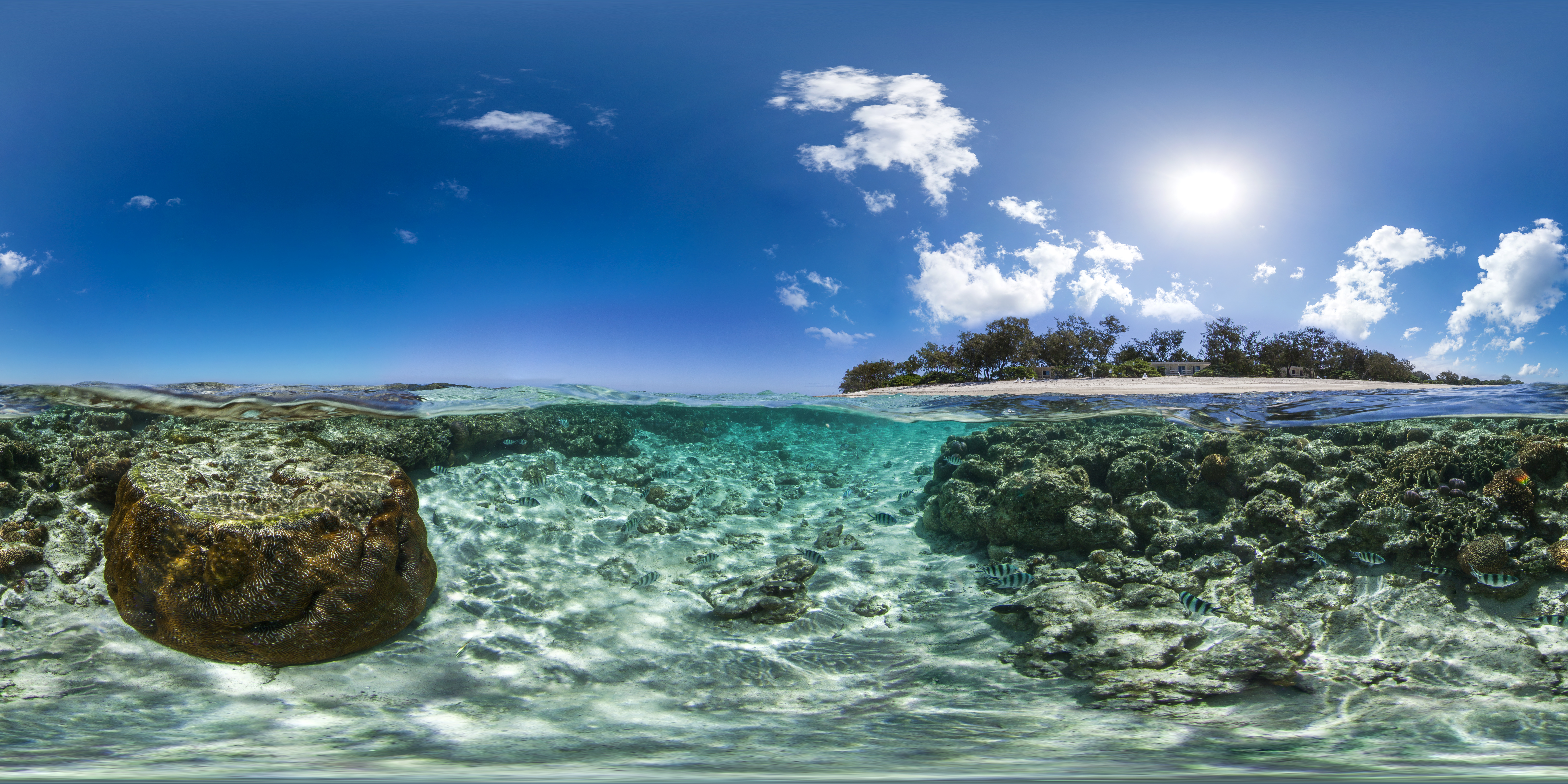
Lady Elliot Island is the southernmost coral cay of the Great Barrier Reef, Australia. The island lies north-east of Bundaberg and covers an area of approximately . It is part of the Capricorn and Bunker Group of islands and is owned by the Commonwealth of Australia. The island is home to a small eco resort and an airstrip, which is serviced daily by flights from Bundaberg, Hervey Bay, Brisbane and the Gold Coast. Lady Elliot Island is located within the 'Green Zone' of the Great Barrier Reef Marine Park, which is the highest possible classification designated by the Great Barrier Reef Marine Park Authority. Marine National Park Green Zones protect the biodiversity within the Great Barrier Reef Marine Park by protecting important breeding and nursery areas such as seagrass beds, mangrove communities, deepwater shoals and reefs. The island is particularly renowned for its scuba diving and snorkelling, as its location far offshore at the southern end of the Great Barri ... [...More Info...] [...Related Items...] OR: [Wikipedia] [Google] [Baidu] |
Lady Elliot Island SVII
The word ''lady'' is a term for a girl or woman, with various connotations. Once used to describe only women of a high social class or status, the equivalent of lord, now it may refer to any adult woman, as gentleman can be used for men. Informal use is sometimes euphemistic ("lady of the night" for prostitute) or, in American slang, condescending in direct address (equivalent to "mister" or "man"). "Lady" is also a formal title in the United Kingdom. "Lady" is used before the family name of a woman with a title of nobility or honorary title ''suo jure'' (in her own right), or the wife of a lord, a baronet, Scottish feudal baron, laird, or a knight, and also before the first name of the daughter of a duke, marquess, or earl. Etymology The word comes from Old English '; the first part of the word is a mutated form of ', "loaf, bread", also seen in the corresponding ', "lord". The second part is usually taken to be from the root ''dig-'', "to knead", seen also in dough; t ... [...More Info...] [...Related Items...] OR: [Wikipedia] [Google] [Baidu] |
Dive Xtras
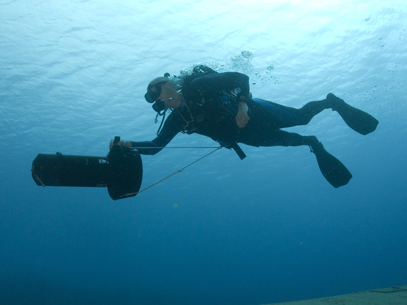
Dive Xtras is a manufacturer of diver propulsion vehicles (DPVs) or dive scooters in Mukilteo, Washington, United States. History Established in 2003 by Ben McGeever and Andrew Georgitsis, Dive Xtras introduced their first DPV in 2005. This DPV was innovative in that it was the first to utilize a brushless motor and electronic speed control. The combination of these features with NiMh battery technology drastically reduced the weight of DPVs at the time. In 2017, Dive Xtras introduced the use of Li-ion power tool batteries (PTBs) for their Piranha line, which became standard for their later BlackTip and CudaX scooters. Models * Sierra Std - The Sierra standard body X-Scooter is the lightest scooter in the Dive Xtras family. * CUDA 400 - NiMh version of the CUDA Fury 1150 (aka mini CUDA). * CUDA 550 - The first "CUDA". Slightly shorter than the 650. Used a 550 watt hour battery pack. * CUDA 650 - The CUDA 650 is the front runner of the CUDA models. At 53 lbs, it is a l ... [...More Info...] [...Related Items...] OR: [Wikipedia] [Google] [Baidu] |
Samsung Galaxy Tab
The Samsung Galaxy Tab is a line of Android-based and Windows-based tablet computers produced by Samsung Electronics. The first model in the series, the 7-inch Samsung Galaxy Tab, was presented to the public on 2 September 2010 at the IFA in Berlin and was available on 5 November 2010. Since then several models have been released, including models with 7.7, 8.9 and 10.1-inch displays. The Wi-Fi versions of the tablet all include a GPS system, and the 3G/4G/5G tablets add cellular capability. Models Samsung Galaxy Tab The original Samsung Galaxy Tab series was the original line of Samsung tablets. It was later split into three separate lines: the Galaxy Tab S series for high-end tablets, the Galaxy Tab A series for mid-range tablets, and the Galaxy Tab E series for entry-level tablets. 2010-2011 * Samsung Galaxy Tab 7.0 * Samsung Galaxy Tab 7.0 Plus * Samsung Galaxy Tab 7.7 * Samsung Galaxy Tab 8.9 * Samsung Galaxy Tab 10.1 2012 * Samsung Galaxy Tab 2 7.0 * Samsung ... [...More Info...] [...Related Items...] OR: [Wikipedia] [Google] [Baidu] |


