|
Santa Cruz–Chembur Link Road
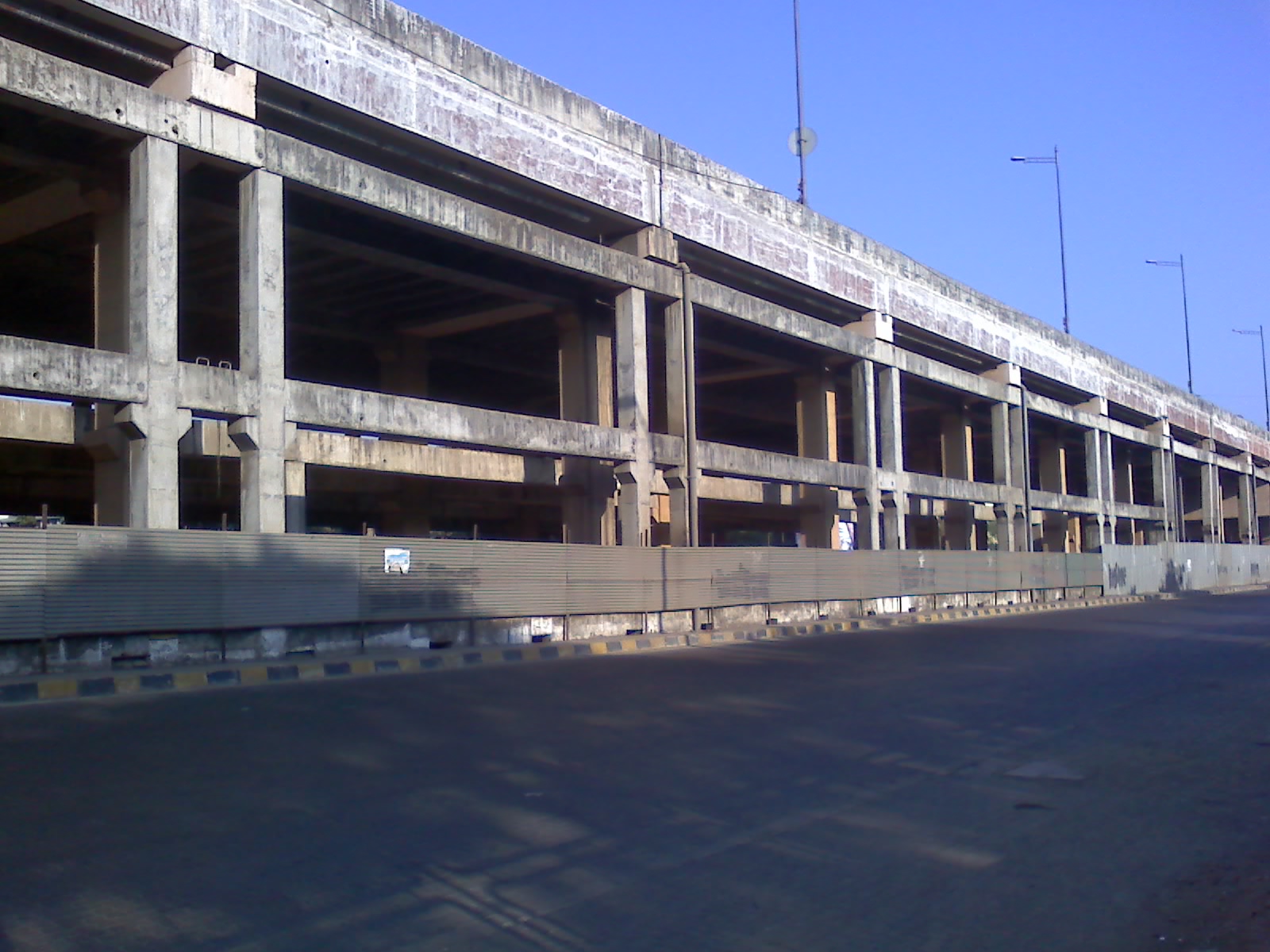
The Santa Cruz–Chembur Link Road, shortened to SCLR, is a arterial road in Mumbai, connecting the Western Express Highway (WEH) in Santa Cruz with the Eastern Express Highway (EEH) in Chembur. It contains the city's first and India's second double-decker flyover. The six-lane road was constructed as part of the World Bank-funded Mumbai Urban Transport Project (MUTP) at a cost of .Express India Express India. Retrieved 16 July 2013. The World Bank withdrew funding midway through the project due to repeated delays, and the second phase was financed by the |
Western Express Highway
The Western Express Highway, abbreviated to WEH (officially Ali Yavar Jung Marg after the former Governor of Maharashtra), is a major north–south 8-10 lane arterial road in Mumbai, India, stretching from the suburb of Mira Road to Bandra. The highway begins near the Mahim Creek and extends to the Kashimira in the northern limit of the city till it connects National Highway 48 at Ghodbunder village. The road connects the city of Mumbai to its suburbs, including the Chhatrapati Shivaji Maharaj International Airport. Background This highway has been instrumental in reducing congestion on SV Road in western part of the city. There are several flyovers built along sections Western Express Highway. The Andheri Flyover (opened in 2002) was one of the flyovers built over the Western Express Highway to avoid traffic lights for vehicles moving towards Vile Parle, Bandra and so on. Recently another project has been undertaken by the MSRDC to construct a flyover bridge from Vile ... [...More Info...] [...Related Items...] OR: [Wikipedia] [Google] [Baidu] |
Mumbai Metropolitan Region Development Authority
Mumbai Metropolitan Region Development Authority (MMRDA) is a body of the Government of Maharashtra that is responsible for preparation oRegional Plan for MMRand the infrastructure development of the Mumbai Metropolitan Region. The MMRDA was set up on 26 January 1975 under the Mumbai Metropolitan Region Development Authority Act, 1974 Government of Maharashtra as an apex body for planning and co-ordination of development activities in the Region. Composition The MMRDA comprises 17 members and is chaired by the Chief Minister of Maharashtra Shri. Eknath Shinde ( Also the minister of urban development ). It is also the richest state owned organization in India. On similar lines to this, recently Government of Maharashtra has announced to establish PMRDA, NMRDA, and AMRDA for Pune, Nagpur, and Aurangabad respectivel In 2017, MMRDA announced it is investing up to ₹48,000 crore to re-haul the entire rail network by introducing new services, coaches, and signalling equipment. ... [...More Info...] [...Related Items...] OR: [Wikipedia] [Google] [Baidu] |
Auto Rickshaw
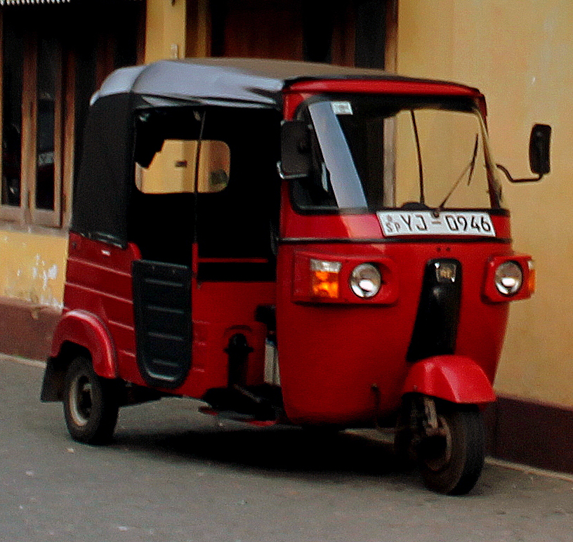
An auto rickshaw is a motorized version of the pulled rickshaw or cycle rickshaw. Most have three wheels and do not tilt. They are known by many terms in various countries including auto, auto rickshaw, baby taxi, mototaxi, pigeon, jonnybee, bajaj, chand gari, lapa, tuk-tuk, tum-tum, Keke-napep, Maruwa, 3wheel, pragya, bao-bao, easy bike, cng and tukxi. The auto rickshaw is a common form of urban transport, both as a vehicle for hire and for private use, in many countries around the world. They are especially common in countries with tropical climate, tropical or subtropical climates, since they usually are not fully enclosed, and in many developing countries because they are relatively inexpensive to own and operate. As of 2019, Bajaj Auto of India is the world's largest auto rickshaw manufacturer, selling 780,000 during the 2019 fiscal year. There are many different auto rickshaw designs. The most common type is characterized by a sheet-metal body or open frame resting on three ... [...More Info...] [...Related Items...] OR: [Wikipedia] [Google] [Baidu] |
The Times Of India
''The Times of India'', also known by its abbreviation ''TOI'', is an Indian English language, English-language daily newspaper and digital news media owned and managed by The Times Group. It is the List of newspapers in India by circulation, third-largest newspaper in India by circulation and largest selling English-language daily in the world. It is the oldest English-language newspaper in India, and the second-oldest Indian newspaper still in circulation, with its first edition published in 1838. It is nicknamed as "The Old Lady of Bori Bunder", and is an Indian "newspaper of record". Near the beginning of the 20th century, Lord Curzon, the Viceroy of India, called ''TOI'' "the leading paper in Asia". In 1991, the BBC ranked ''TOI'' among the world's six best newspapers. It is owned and published by Bennett, Coleman & Co. Ltd. (B.C.C.L.), which is owned by the Sahu Jain family. In the Brand Trust Report India study 2019, ''TOI'' was rated as the most trusted English newspap ... [...More Info...] [...Related Items...] OR: [Wikipedia] [Google] [Baidu] |
Vakola
Santacruz or Santa Cruz (Pronunciation: aːn̪t̪akɾuːz is a neighbourhood of Mumbai. The Santacruz railway station on the Mumbai Suburban Railway, the domestic terminal (T1) of the Chhatrapati Shivaji Maharaj International Airport, and one campus of the University of Mumbai, are all located in Santacruz (East). Santacruz and its neighbouring suburb Khar fall under the H East and H West wards of the Municipal Corporation of Greater Mumbai. The locality had a population of 675,951 in 1991, over an area of 12.98 square kilometers, giving it a population density of 36,668 persons per square kilometer. History The term ''Santa Cruz'' comes from the Portuguese words meaning " Holy Cross", a reference to a 150-year-old Cross located on Chapel lane within the compound of a home for destitute women run by Mother Teresa's Missionaries of Charity trust. That name was also given to a church that existed on a site on the western side of the railway station along the current Swami Vi ... [...More Info...] [...Related Items...] OR: [Wikipedia] [Google] [Baidu] |
Sion, Mumbai
Sion ( /ˈsaːjən/; IAST: ''Śīv'' �iːʋ is a neighbourhood of Mumbai. In the 17th century the village formed the boundary between Mumbai and Salsette Island. The British named it marking the end of the city. The name remained even after Mumbai was joined to the Salsette and extended up to Mulund. One of the local historical places in Sion is a hilltop garden commonly known as Sion Fort or Sheevon Killa in the Marathi language. History In 1543, the Portuguese took possession of the largely uninhabited islands of Bombay, naming it Sião, after a biblical hill in Israel. The Portuguese gave the Jesuit priests the sole ownership of some of these islands. The Jesuits then built a chapel on the hill near the present-day railway station and named it after Mount Zion (Sion) in Jerusalem. Education Sion is also a home to many educational institutes, namely: * D.S.Highschool, Sion * Ayurved College Sion * K. J. Somaiya Institute Of Engineering & Information Technology ... [...More Info...] [...Related Items...] OR: [Wikipedia] [Google] [Baidu] |
Andheri
Andheri ( �n̪d̪ʱeɾiː is a locality in the western part of the city of Mumbai in India. Udayanagari, the name of a hill near the Mahakali caves, inspired the name Andheri. On the former islet of Versova, also known as Vasave, there was another cluster of native East Indians. Andheri east and west are key areas in Mumbai, with several film studios and TV news channels. high-profile police cases. Andheri west is covered by a fire complaint filed at the Oshiwara police station. MIDC, Andheri has a jewelry production unit (east). Government For administrative purposes, the area is separated into Andheri West and Andheri East. Andheri West comes under K/W ward of the Brihanmumbai Municipal Corporation while Andheri East comes under the K/E ward of the same. Transportation The Andheri railway station is among the busiest railway stations in the city The expansion of the Mumbai Metro in the Versova-Andheri-Ghatkopar corridor is a part of the government's master transportat ... [...More Info...] [...Related Items...] OR: [Wikipedia] [Google] [Baidu] |
Navi Mumbai
Navi Mumbai (), is a planned community, planned city situated on the west coast of the Indian subcontinent, located in the Konkan division of Maharashtra state, on the mainland of India. Navi Mumbai is part of the Mumbai Metropolitan Region, Mumbai Metropolitan Region (MMR). The city is divided into two, North Navi Mumbai and South Navi Mumbai, for the individual development of Navi Mumbai Airport Influence Notified Area, Panvel Mega City, which includes the area from Kharghar to Uran, including the Taloja node. The Agri (caste), Agri and Koli people, Koli Communities mainly reside in Navi Mumbai. Navi Mumbai was the host city for the inaugural final of the Indian Premier League, IPL (2008) at DY Patil Stadium. Thane–Belapur Road, Thane Belapur Marg and Palm Beach Marg are major business attraction and upmarket residential areas respectively. Navi Mumbai has a population of 1,119,477 as per the 2011 provisional census. It has an average city elevation of 14 meters, excluding ... [...More Info...] [...Related Items...] OR: [Wikipedia] [Google] [Baidu] |
Eastern Suburbs (Mumbai)
East Mumbai consists the localities of Bhandup, Ghatkopar, Kanjurmarg, Kurla, Mulund, Nahur, Powai, Thane, Vidyavihar and Vikhroli. To the south-east lie the neighborhoods of Chembur, Govandi, Mankhurd, Trombay and Wadala. Division The city of Mumbai lies on Salsette Island. The long thinner protruding landmass just across the Mithi river is the oldest part of the city. This region is called South Mumbai/South Bombay(SoBo) or Town side. The area just north of Mithi river is called Western Suburbs of Mumbai and the area that lies to the east of the airport is called Eastern Suburbs of Mumbai. North Mumbai(North Bombay) is further upwards just across the JVLR that stretches from Bhayander to Jogeshwari in the Western Suburbs and Thane to Vikhroli in the Eastern Suburbs, is primarily the residential part of the city. Transport Rail Eastern Suburbs of Mumbai are served by the Central Line. With the exception of Powai, each of the neighborhoods has a railway stat ... [...More Info...] [...Related Items...] OR: [Wikipedia] [Google] [Baidu] |
Western Suburbs (Mumbai)
The Western Suburbs is the western precinct of the city of Mumbai, India. The Western Suburbs consist of Andheri, Bandra, Bhayander, Borivali, Dahisar, Goregaon, Jogeshwari, Juhu, Kandivali, Khar, Malad, Mira Road, Santacruz and Vile Parle. Geographically, the Western Suburbs lie at the western part of Salsette Island, is a continuous urban sprawl spanning the areas from Bandra to Bhayander, which is separated by the Vasai Creek from Vasai-Virar city and Mithi River from Mumbai city district ( Churchgate to Mahim). The Western Suburbs are some of the oldest suburbs of the city. In particular, Bandra has existed as a separate town almost as long as Mumbai. The area started its history as a bunch of fishing villages. River Mithi flows through this area and also serves as a sewage line. In the 1980s, a well-intentioned attempt to set up a new downtown away from Nariman Point resulted in the establishment of the Bandra Kurla Complex. Most of the larger financial bank ... [...More Info...] [...Related Items...] OR: [Wikipedia] [Google] [Baidu] |
Jogeshwari – Vikhroli Link Road
Jogeshwari (Pronunciation: ͡ʒoɡeːʃʋəɾiː is a suburb located in the western part of Mumbai, Maharashtra, India. It is notable for its caves - 'Jogeshwari Caves', particularly one containing a shrine of the Hindu Goddess Jogeshwari, Lord Shiva and the deity Hanuman. It belongs to the K/E Ward of Mumbai. On the Mumbai Suburban Railway, (which is part of the Indian Western Railway line,) that runs from Churchgate to Dahanu, Jogeshwari is north of and next to Andheri and has a train station of the same name. The Jogeshwari - Vikhroli Link Road connects Jogeshwari a western suburb of Mumbai with Vikhroli an eastern suburb. This road typically experiences traffic jams during peak hours but has improved access and connectivity between the city's suburbs. For healthcare a public governed HBT trauma hospital is located near the Western express highway. Education * Ismail Yusuf College Ismail Yusuf College, is the fourth oldest college of Mumbai, India. ''"I Y colleg ... [...More Info...] [...Related Items...] OR: [Wikipedia] [Google] [Baidu] |


