|
San Javier Island
300px, Map of the Isthmus of Ofqui area. In red a 20th-century canal project. San Javier Island ( es, Isla San Javier) is an island in the fjords and channels of southern Chile. The island lies immediately to the east of the Gulf of Penas and south of the Gulf of San Esteban. Administratively the island belong to the commune of Tortel in Aysén Region. The Antonio de Vea expedition The Antonio de Vea expedition of 1675–1676 was a Spanish naval expedition to the fjords and channels of Patagonia aimed to find whether rival colonial powers—specifically, the English—were active in the region. While this was not the first ... reached the island on December 25, 1675 calling it "Isla San Esteban". References Islands of Aysén Region Uninhabited islands of Chile {{Aisén-geo-stub ... [...More Info...] [...Related Items...] OR: [Wikipedia] [Google] [Baidu] |
Pacific Ocean
The Pacific Ocean is the largest and deepest of Earth's five oceanic divisions. It extends from the Arctic Ocean in the north to the Southern Ocean (or, depending on definition, to Antarctica) in the south, and is bounded by the continents of Asia and Oceania in the west and the Americas in the east. At in area (as defined with a southern Antarctic border), this largest division of the World Ocean—and, in turn, the hydrosphere—covers about 46% of Earth's water surface and about 32% of its total surface area, larger than Earth's entire land area combined .Pacific Ocean . '' Britannica Concise.'' 2008: Encyclopædia Britannica, Inc. The centers of both the |
Regions Of Chile
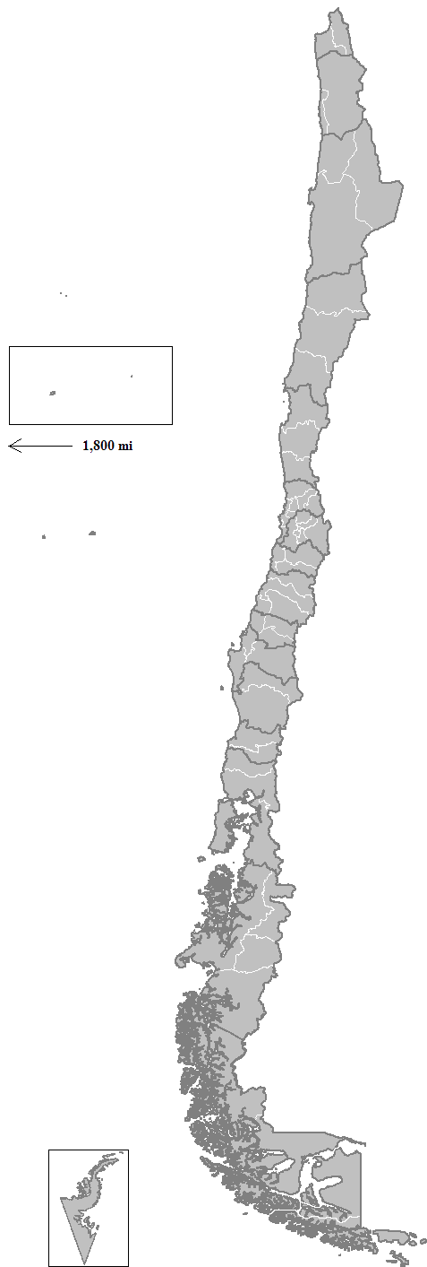
Chile is divided into 16 regions (in Spanish, ''regiones''; singular ''región''), which are the country's first-level administrative division. Each region is headed by an intendant (''intendente)'', appointed by the President of Chile, and a directly elected regional board (''consejo regional''). The regions are divided into provinces (the second-level administrative division), each headed by a governor (''gobernador'') appointed by the President. There are 56 provinces in total. Provinces are divided into communes (the third and lowest level administrative division), which are governed by municipal councils. Naming Each region was given a Roman numeral, followed by a name (e.g. ''IV Región de Coquimbo'', read as "fourth region of Coquimbo" in Spanish). When the regional structure was created, Roman numerals were assigned in ascending order from north to south, with the northernmost region designated as I (first) and the southernmost region as XII (twelfth). The Santiago Metro ... [...More Info...] [...Related Items...] OR: [Wikipedia] [Google] [Baidu] |
Aysén Region
The Aysén del General Carlos Ibáñez del Campo Region ( es, Región de Aysén, , '), often shortened to Aysén Region or Aisén,Examples of name usage1, official regional government site refers to the region as "Región de Aysén"., Chile's official meteorological agency refers to the region as "Región de Aisén".3 Chilean government official website refers of Pilar Cuevas Mardones as intendant of "Región de Aysén" .4 Chile's Ministry of Public Works calls the region "Región de Aysén" in the title of their 2011 report on that region.5, Corporación Nacional Forestal, a government agency refers to the region as "Región de Aysén" in their homepage. Here is some evidence of the short name use in English:I ''The Guardian'' reports on the 2012 Aysén protest.II ''Santiago Times'', a local English language newspaper use "Aysén Region" in a note referring to the same protest.III''Santiago Times'' again. *Vscientific paper in ''Journal of Hospital Infection'' referring to the ... [...More Info...] [...Related Items...] OR: [Wikipedia] [Google] [Baidu] |
Provinces Of Chile
A province is the second largest administrative division in Chile with 56 in total. The largest administrative division in Chile is that of a region with 16 in total. Each provincial presidential delegation (''delegación presidencial provincial'') is headed by a provincial presidential delegate (''delegado presidencial provincial'') appointed by the President. The governor exercises their powers in accordance with instructions from the regional presidential delegate (''delegado presidencial regional''). The provincial delegate is advised by the Provincial Economic and Social Council (''Consejo Económico y Social Provincial'' or CESPRO). No provincial presidential delegations exist in those provinces where the regional capital is located; its functions were merged with those of the regional presidential delegate. The country's provinces are further divided into 346 communes which are administered by an alcalde and municipal council. Until 1976, a province was the main admini ... [...More Info...] [...Related Items...] OR: [Wikipedia] [Google] [Baidu] |
Capitán Prat Province
Capitán Prat Province ( es, Provincia de Capitán Prat) is one of four provinces in the southern Chilean region of Aysén (XI). Its capital is Cochrane. The province is named after the naval hero Arturo Prat. Geography and demography It is Chile's eighth largest and fourth least populated province as well as the most sparsely populated province in continental Chile. According to the 2002 census by the National Statistics Institute (''INE''), the province spans an area of and had a population of 3,837 inhabitants (2,154 men and 1,683 women), giving it a population density of 0.10 per km2 (0.3 per m2). At that time, 2,217 (57.8%) lived in urban areas and 1,620 (42.2%) in rural areas. Between the 1992 and 2002 censuses, the population grew by 1.5% (56 persons). Administration As a province, Capitán Prat is a second-level administrative division, governed by a provincial governor appointed by the president. The province comprises three communes, each governed by a municipality, h ... [...More Info...] [...Related Items...] OR: [Wikipedia] [Google] [Baidu] |
Communes Of Chile
A commune ( es, comuna, ) is the smallest administrative subdivision in Chile. It may contain cities, towns, villages, hamlets as well as rural areas. In highly populated areas, such as Santiago, Valparaíso and Concepción, a conurbation may be broken into several communes. In sparsely populated areas, conversely, a commune may cover a substantial rural area together with several settled areas which could range from hamlets to towns or cities. The term "commune" is ambiguous in English, but the word is commonly used in translation for "comuna", although with some controversy among translators. A comuna is similar to a "county" in Anglo-American usage and practice, and may be more universally understood as a "municipality". Each commune or municipality is governed by a directly elected body known as a municipal council (''concejo municipal'') consisting of a mayor (''alcalde'') and a group of councillors (''concejales''), for a period of four years. The communal civil service a ... [...More Info...] [...Related Items...] OR: [Wikipedia] [Google] [Baidu] |
Caleta Tortel
Caleta Tortel is a coastal village ( es, aldea) in Chile. It is the administrative centre of the commune of Tortel and is located between the mouth of the Baker River the largest river in Chile and a small embayment of the Baker Channel. The surrounding geography is rugged, formed by a number of islands, fjords, channels and estuaries. The village was founded in 1955 to exploit the cypress de las guaytecas or Guaytecas Cypress (Pilgerodendron uviferum) wood that was abundant in the area. The timber business accounts for most of the economy in Tortel to this day. For most of its history the village had only air and boat access; the road was constructed only in 2003, and connects Caleta Tortel with the Carretera Austral. Caleta Tortel consists mainly of stilt houses, typical of Chilotan architecture, built along the coast for several kilometers. There are no conventional streets - instead there are wooden walkways build with Guaitecas Cypress. The wooden walkways give the village ... [...More Info...] [...Related Items...] OR: [Wikipedia] [Google] [Baidu] |
Chono People
The Chono people, or GuaitecoUrbina Burgos 2007, p. 334. were a nomadic indigenous people or group of peoples of the archipelagos of Chiloé, Guaitecas and Chonos. The Chono people lived as hunter-gatherers traveling by canoe. Much of what is known from Spanish sources on Chonos is filtered by a Huilliche worldview, as Huilliches and Huilliche language was used to communicate with Chonos. Physical appearance Together with other canoe-faring peoples of western Patagonia, the Chono people shared the physical features of being of low stature, being long-headed (dolichocephalic) and having a "low face". In the opinion of Robert FitzRoy who saw the Chono people in the 1830s, they were more muscular and with a more beautiful appearance when compared to canoe-farers further south.Trivero Rivera 2005, p. 42. Alberto Achacaz Walakial, himself a Kawésqar born around 1929, said that the Chono people were taller and of darker skin than his people. He also added that their noses and fa ... [...More Info...] [...Related Items...] OR: [Wikipedia] [Google] [Baidu] |
Caucahue
Caucahue is an ethonym used by Chonos and the Huilliche and Spanish of Chiloé for a group of canoe-faring people that inhabited the archipelagoes south of the Gulf of Penas. The term is one of the various ethnonyms recorded by the Spanish in the 18th century in the fjords and channels of Patagonia. The Caucahue spoke a language different from the one of the Chono. Archaeologist Ricardo Alvarez posits that the Caucahue and other groups appeared relatively late in colonial records because this was the time when contact became more common. Alvarez also posits the Caucahue disappeared from the historical record by merging into the Kawésqar to the south and the people of Chiloé to the north. According to historian Ximena Urbina and co-workers the Caucahue are essentially ancient Kawésqar. "Caucahues" described in sources as "gigantic" may have been Tehuelches. See also *Antonio de Vea expedition * Caucahue Island *Indigenous peoples in Chile Indigenous peoples in Chile or Nat ... [...More Info...] [...Related Items...] OR: [Wikipedia] [Google] [Baidu] |
Fjords And Channels Of Chile
The southern coast of Chile presents a large number of fjords and fjord-like channels from the latitudes of Cape Horn (55° S) to Reloncaví Estuary (42° S). Some fjords and channels are important navigable channels providing access to ports like Punta Arenas, Puerto Chacabuco and Puerto Natales. History Indigenous peoples The earliest known inhabitants of the fjords and channels were, from north to south, the Chono, Alacalufe and Yaghan, all of whom shared a life style as canoe-faring hunter-gatherers. They also shared physical traits such as being of low stature, long-headed (''Dolichocephalic''), and having a "low face".Trivero Rivera 2005, p. 42. Despite similarities their languages were completely different.Trivero Rivera 2005, p. 33. The Chono moved around in the area from Chiloé Archipelago to 50° S and the Alacalufe from 46° S to the Strait of Magellan. Thus both groups overlapped in Gulf of Penas, Guayaneco Archipelago and other islands. Yaghans inhabited a reduced a ... [...More Info...] [...Related Items...] OR: [Wikipedia] [Google] [Baidu] |
Gulf Of Penas
The Gulf of Penas (''Golfo de Penas'' in Spanish, meaning "gulf of distress") is a body of water located south of the Taitao Peninsula, Chile. Geography It is open to the westerly storms of the Pacific Ocean The Pacific Ocean is the largest and deepest of Earth's five oceanic divisions. It extends from the Arctic Ocean in the north to the Southern Ocean (or, depending on definition, to Antarctica) in the south, and is bounded by the continen ..., but it affords entrance to several natural harbours. Among these are the gulfs of Tres Montes and San Esteban and San Quintín, and Tarn Bay at the entrance to Messier Channel. To the south of the gulf lies Guayaneco Archipelago and to the east lies San Javier Island and then the mainland. History Spanish explorers and Jesuits that sailed south from Chiloé Archipelago in the 17th and 18th centuries regularly avoided rounding the Taitao Peninsula by entering the gulf after a brief land crossing at the isthmus of Ofqui. In 1 ... [...More Info...] [...Related Items...] OR: [Wikipedia] [Google] [Baidu] |
.jpg)


