|
San Diego De La Unión
San Diego de la Unión is a Mexican city (and municipality) located in the Northwest region of the state of Guanajuato. The municipality has an area of 990.17 square kilometres (3.26% of the surface of the state) and is bordered to the north by San Luis Potosí, to the east by San Luis de la Paz, to the south by Dolores Hidalgo Dolores Hidalgo (; in full, Dolores Hidalgo Cuna de la Independencia Nacional, ) is the name of a city and the surrounding municipality in the north-central part of the Mexican state of Guanajuato. It is located at , at an elevation of about a ..., and to the west by San Felipe. The municipality had 34,088 inhabitants according to the 2005 census. The municipality of San Diego was founded in 1719 under the name of Pueblo de Bizcocho. It received its present name of San Diego de la Unión after San Diego de Alcalá, the Patron saint of Franciscan lay brothers. The municipal president of San Diego de la Unión and its 236 outlying communities is J ... [...More Info...] [...Related Items...] OR: [Wikipedia] [Google] [Baidu] |
Guanajuato
Guanajuato, officially the Free and Sovereign State of Guanajuato, is one of the 32 states that make up the Political divisions of Mexico, Federal Entities of Mexico. It is divided into Municipalities of Guanajuato, 46 municipalities and its capital city is Guanajuato, Guanajuato, Guanajuato. It is located in central Mexico and is bordered by the states of Jalisco to the west, Zacatecas to the northwest, San Luis Potosí to the north, Querétaro to the east, and Michoacán to the south. It covers an area of . The state is home to several historically important cities, especially those along the "Bicentennial Route", which retraces the path of Miguel Hidalgo y Costilla's insurgent army at the beginning of the Mexican War of Independence. This route begins at Dolores Hidalgo, and passes through the Sanctuary of Atotonilco, San Miguel de Allende, Celaya, and the capital of Guanajuato City, Guanajuato. Other important cities in the state include León, Guanajuato, León, the state' ... [...More Info...] [...Related Items...] OR: [Wikipedia] [Google] [Baidu] |
Municipalities Of Guanajuato
Guanajuato is a state in North Central Mexico that is divided into 46 municipalities. According to the 2020 Mexican census, Guanajuato is the sixth most populous state with inhabitants and the 22nd largest by land area spanning . Municipalities in Guanajuato are administratively autonomous of the state according to the 115th article of the 1917 Constitution of Mexico. Every three years, citizens elect a municipal president (Spanish: ''presidente municipal'') by a plurality voting system who heads a concurrently elected municipal council (''ayuntamiento'') responsible for providing all the public services for their constituents. The municipal council consists of a variable number of trustees and councillors (''regidores y síndicos''). Municipalities are responsible for public services (such as water and sewerage), street lighting, public safety, traffic, and the maintenance of public parks, gardens and cemeteries. They may also assist the state and federal governments in educa ... [...More Info...] [...Related Items...] OR: [Wikipedia] [Google] [Baidu] |
San Luis Potosí
San Luis Potosí, officially the Free and Sovereign State of San Luis Potosí, is one of the 32 states which compose the Federal Entities of Mexico. It is divided in 59 municipalities and is named after its capital city, San Luis Potosí. It is located in eastern and central Mexico and is bordered by seven other Mexican states: Nuevo León to the north; Tamaulipas to the north-east; Veracruz to the east; Hidalgo, Querétaro and Guanajuato to the south; and Zacatecas to the north-west. In addition to the capital city, other major cities in the state include Ciudad Valles, Matehuala, Rioverde, and Tamazunchale. History In pre-Columbian times, the territory now occupied by the state of San Luis Potosí contained parts of the cultural areas of Mesoamerica and Aridoamerica. Its northern and western-central areas were inhabited by the Otomi and Chichimeca tribes. These indigenous groups were nomadic hunter-gatherers. Although many indigenous people died during Spanish colon ... [...More Info...] [...Related Items...] OR: [Wikipedia] [Google] [Baidu] |
San Luis De La Paz
San Luis de la Paz is a city, and the surrounding municipalities of Mexico, municipality of the same name, located in the northeastern part of the state of Guanajuato in Mexico. San Luis de la Paz was founded on August 25, 1552, as a defensive town on the Spanish Silver Road, which linked the Zacatecas#Economy, Zacatecas mines with Mexico City during the New Spain, Spanish domination. It owes its name to the peace treaty between Otomi Indians, who were Spaniard allies, and the native Chichimecas, on the day of Saint Louis of France, August 25. San Luis de la Paz is also known as the Chichimeca Nation. Population The municipality lies adjacent to the southern border of the state of San Luis Potosi. The city serves as the seat of the municipality. At the Mexican census of 2020, the city had a population of 51,894. The municipality has an area of 2,031 km2 (784 sq mi). Its largest other community is the town of Misión de Chichimecas, with a population of 9,609. Tourism San ... [...More Info...] [...Related Items...] OR: [Wikipedia] [Google] [Baidu] |
Dolores Hidalgo
Dolores Hidalgo (; in full, Dolores Hidalgo Cuna de la Independencia Nacional, ) is the name of a city and the surrounding municipality in the north-central part of the Mexican state of Guanajuato. It is located at , at an elevation of about above sea level. In the census of 2005 the city had a population of 54,843, while the municipality had 134,641 inhabitants. The city lies directly in the center of the municipality, which is in area and includes numerous small outlying communities, the largest of which is Río Laja with a population of 2,211 (2005 census). Dolores Hidalgo was named a '' Pueblo Mágico'' (Magic Town) in 2002 History The city was a small town known simply as Dolores when Father Miguel Hidalgo y Costilla uttered his famous cry for the independence of Mexico (the '' Grito de Dolores'') there in the early hours of September 16, 1810, in front of Nuestra Señora de los Dolores parish church. After Mexico achieved independence, the town was renamed ''Dolores ... [...More Info...] [...Related Items...] OR: [Wikipedia] [Google] [Baidu] |
San Felipe, Guanajuato
San Felipe (), known colloquially as "San Felipe Torres Mochas" (), is a Mexican city and municipality located in the northwest region of the state of Guanajuato. The municipality has an area of 2,969.79 square kilometers (9.50% of the state's surface), making it the biggest municipality in terms of size. It is bordered to the north by the municipality of Ocampo, to the south by the municipalities of León and Guanajuato, to the southeast by the municipality of Dolores Hidalgo and to the east by the municipality of San Diego de la Unión. It borders to the north with the state of San Luis Potosí and to the west with the state of Jalisco. The municipality had 106,952 inhabitants as of 2010. History San Felipe was founded by Francisco de Velasco on January 21, 1562, by orders of viceroy Luís de Velasco. The city was founded with the name of San Felipe in honor of King Philip II of Spain. In 1889 the name of the city was changed to "Ciudad González" in honor of the then govern ... [...More Info...] [...Related Items...] OR: [Wikipedia] [Google] [Baidu] |
Didacus Of Alcalá
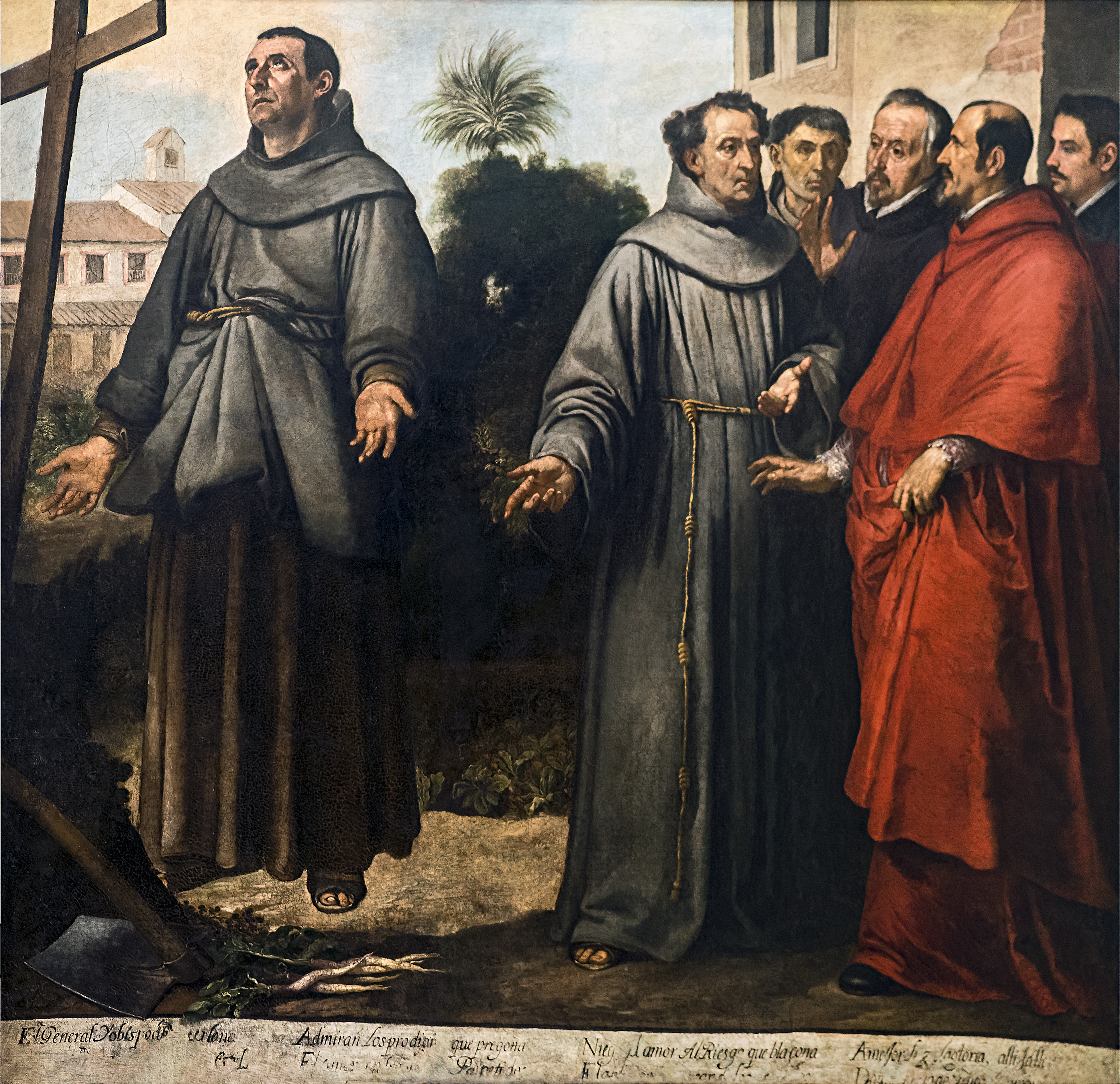
Didacus of Alcalá (), also known as Diego de San Nicolás, was a Spanish Franciscan lay brother who served among the first group of missionaries to the newly conquered Canary Islands. He died at Alcalá de Henares on 12 November 1463 and is honored by the Catholic Church as a saint. History Didacus was born into a poor but pious family in the small village of San Nicolás del Puerto in the Kingdom of Seville. As a child, he embraced the hermit life and, later, placed himself under the direction of a hermit priest living not far from his native town. He then led the life of a wandering hermit. Feeling called to the religious life, he applied for admission to the Observant (or Reformed) branch of the Order of Friars Minor at the friary in Albaida and was sent to the friary in Arruzafa, near Córdoba, where he was received as a lay brother. As a friar he worked at various manual trades to support the brotherhood. During his years living in that location, he journeyed to t ... [...More Info...] [...Related Items...] OR: [Wikipedia] [Google] [Baidu] |
Franciscan
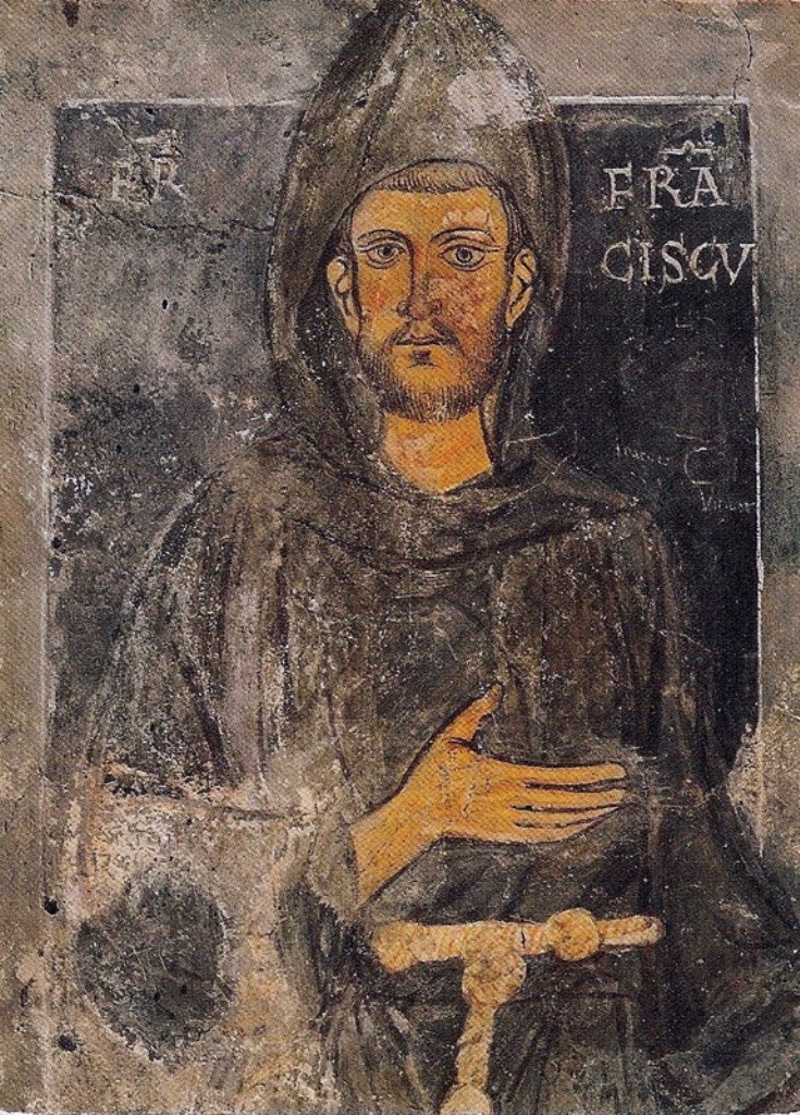
The Franciscans are a group of related organizations in the Catholic Church, founded or inspired by the Italian saint Francis of Assisi. They include three independent Religious institute, religious orders for men (the Order of Friars Minor being the largest contemporary male order), an order for nuns known as the Order of Saint Clare, and the Third Order of Saint Francis, a Third Order of Saint Francis#Third Order Regular, religious and Secular Franciscan Order, secular group open to male and female members. Franciscans adhere to the teachings and spiritual disciplines of the founder and of his main associates and followers, such as Clare of Assisi, Anthony of Padua, and Elizabeth of Hungary. Several smaller Franciscan spirituality in Protestantism, Protestant Franciscan orders have been established since the late 19th century as well, particularly in the Lutheranism, Lutheran and Anglicanism, Anglican traditions. Certain Franciscan communities are ecumenism, ecumenical in nat ... [...More Info...] [...Related Items...] OR: [Wikipedia] [Google] [Baidu] |
Populated Places In Guanajuato
Population is a set of humans or other organisms in a given region or area. Governments conduct a census to quantify the resident population size within a given jurisdiction. The term is also applied to non-human animals, microorganisms, and plants, and has specific uses within such fields as ecology and genetics. Etymology The word ''population'' is derived from the Late Latin ''populatio'' (a people, a multitude), which itself is derived from the Latin word ''populus'' (a people). Use of the term Social sciences In sociology and population geography, population refers to a group of human beings with some predefined feature in common, such as location, Race (human categorization), race, ethnicity, nationality, or religion. Ecology In ecology, a population is a group of organisms of the same species which inhabit the same geographical area and are capable of Sexual reproduction, interbreeding. The area of a sexual population is the area where interbreeding is possi ... [...More Info...] [...Related Items...] OR: [Wikipedia] [Google] [Baidu] |


