|
Salesbury
Salesbury is a village and civil parish in Ribble Valley, located centrally in the county of Lancashire, England. The B6245 road runs straight through the village providing transport links to towns such as Blackburn, Preston and Burnley. Salesbury lies less than 5 miles north of Blackburn and approximately 2 miles south of the River Ribble. Copster Green is an area of houses a little north of Salesbury. History Salesbury is first recorded as a chapelry in the ancient parish of Blackburn but in 1866 it became a civil parish. The Old English name of the village is 'Salebyry', dating from 1246 AD and 'Salewelle' dating from 1296 AD. This means 'burh by Sale Wheel' (burh is an Old English word meaning fortress). Sale Wheel is the name of a pool in the River Ribble where the river winds, contracts and foams over huge rocks and boulders within the channel and means "pool where willows grow". Wheel comes from the Anglo-Saxon word "weal" meaning a whirlpool. The church Initially t ... [...More Info...] [...Related Items...] OR: [Wikipedia] [Google] [Baidu] |
Listed Buildings In Salesbury
Salesbury is a civil parish in Ribble Valley, Lancashire, England. It contains four listed buildings that are recorded in the National Heritage List for England. All of the listed buildings are designated at Grade II, the lowest of the three grades, which is applied to "buildings of national importance and special interest". The parish contains the village of Salesbury and the residential area of Copster Green, and is otherwise rural. The listed buildings consist of a farmhouse with an attached stable, and two houses, one with a sundial A sundial is a horological device that tells the time of day (referred to as civil time in modern usage) when direct sunlight shines by the apparent position of the Sun in the sky. In the narrowest sense of the word, it consists of a fl ... base in the grounds. Buildings References Citations Sources * * * * * * {{DEFAULTSORT:Salesbury Lists of listed buildings in Lancashire Buildings and structures in Ribble Va ... [...More Info...] [...Related Items...] OR: [Wikipedia] [Google] [Baidu] |
Ribble Valley
Ribble Valley is a local government district with borough status within the non-metropolitan county of Lancashire, England. The total population of the non-metropolitan district at the 2011 Census was 57,132. Its council is based in Clitheroe. Other places include Whalley, Longridge and Ribchester. The area is so called due to the River Ribble which flows in its final stages towards its estuary near Preston. The area is popular with tourists who enjoy the area's natural unspoilt beauty, much of which lies within the Forest of Bowland. The district was formed on 1 April 1974 under the Local Government Act 1972, as a merger of the municipal borough of Clitheroe, Longridge urban district, Clitheroe Rural District, part of Blackburn Rural District, part of Burnley Rural District, and part of Preston Rural District, as well as the Bowland Rural District from the West Riding of Yorkshire, hence the addition of the Red Rose of Lancaster and White Rose of York on the coun ... [...More Info...] [...Related Items...] OR: [Wikipedia] [Google] [Baidu] |
Civil Parishes In Lancashire
A civil parish is a subnational entity, forming the lowest unit of local government in England. There are 219 civil parishes in the ceremonial county of Lancashire; Blackpool is completely unparished; Borough of Pendle, Pendle and Ribble Valley are entirely parished. At the 2001 census, there were 587,074 people living in the 219 parishes, accounting for 41.5 per cent of the county's population. History Parishes arose from Church of England divisions, and were originally purely ecclesiastical divisions. Over time they acquired civil administration powers.Angus Winchester, 2000, ''Discovering Parish Boundaries''. Shire Publications. Princes Risborough, 96 pages The Highways Act 1555 made parishes responsible for the upkeep of roads. Every adult inhabitant of the parish was obliged to work four days a year on the roads, providing their own tools, carts and horses; the work was overseen by an unpaid local appointee, the ''Surveyor of Highways''. The poor were looked after by the ... [...More Info...] [...Related Items...] OR: [Wikipedia] [Google] [Baidu] |
Blackburn (ancient Parish)
Blackburn was a large parish in Lancashire, England. The parish had numerous townships and chapelries, which were administered separately from the core Blackburn area, and became recognised as separate civil parishes in 1866. The parish formed part of the Blackburn Blackburn () is an industrial town and the administrative centre of the Blackburn with Darwen borough in Lancashire, England. The town is north of the West Pennine Moors on the southern edge of the Ribble Valley, east of Preston and nort ... hundred. The other parishes were: References *https://web.archive.org/web/20070930225917/http://www.visionofbritain.org.uk/relationships.jsp?u_id=10341826&c_id=10001043 Former civil parishes in Lancashire History of Blackburn with Darwen {{Lancashire-geo-stub ... [...More Info...] [...Related Items...] OR: [Wikipedia] [Google] [Baidu] |
United Kingdom Census 2001
A nationwide census, known as Census 2001, was conducted in the United Kingdom on Sunday, 29 April 2001. This was the 20th UK census and recorded a resident population of 58,789,194. The 2001 UK census was organised by the Office for National Statistics (ONS) in England and Wales, the General Register Office for Scotland (GROS) and the Northern Ireland Statistics and Research Agency (NISRA). Detailed results by region, council area, ward and output area are available from their respective websites. Organisation Similar to previous UK censuses, the 2001 census was organised by the three statistical agencies, ONS, GROS, and NISRA, and coordinated at the national level by the Office for National Statistics. The Orders in Council to conduct the census, specifying the people and information to be included in the census, were made under the authority of the Census Act 1920 in Great Britain, and the Census Act (Northern Ireland) 1969 in Northern Ireland. In England and Wales the ... [...More Info...] [...Related Items...] OR: [Wikipedia] [Google] [Baidu] |
Villages In Lancashire
A village is a clustered human settlement or community, larger than a hamlet but smaller than a town (although the word is often used to describe both hamlets and smaller towns), with a population typically ranging from a few hundred to a few thousand. Though villages are often located in rural areas, the term urban village is also applied to certain urban neighborhoods. Villages are normally permanent, with fixed dwellings; however, transient villages can occur. Further, the dwellings of a village are fairly close to one another, not scattered broadly over the landscape, as a dispersed settlement. In the past, villages were a usual form of community for societies that practice subsistence agriculture, and also for some non-agricultural societies. In Great Britain, a hamlet earned the right to be called a village when it built a church. [...More Info...] [...Related Items...] OR: [Wikipedia] [Google] [Baidu] |
Civil Parish
In England, a civil parish is a type of Parish (administrative division), administrative parish used for Local government in England, local government. It is a territorial designation which is the lowest tier of local government below districts of England, districts and metropolitan and non-metropolitan counties of England, counties, or their combined form, the Unitary authorities of England, unitary authority. Civil parishes can trace their origin to the ancient system of Parish (Church of England), ecclesiastical parishes, which historically played a role in both secular and religious administration. Civil and religious parishes were formally differentiated in the 19th century and are now entirely separate. Civil parishes in their modern form came into being through the Local Government Act 1894, which established elected Parish councils in England, parish councils to take on the secular functions of the vestry, parish vestry. A civil parish can range in size from a sparsely ... [...More Info...] [...Related Items...] OR: [Wikipedia] [Google] [Baidu] |
Ronnie Clayton (footballer, Born 1934)
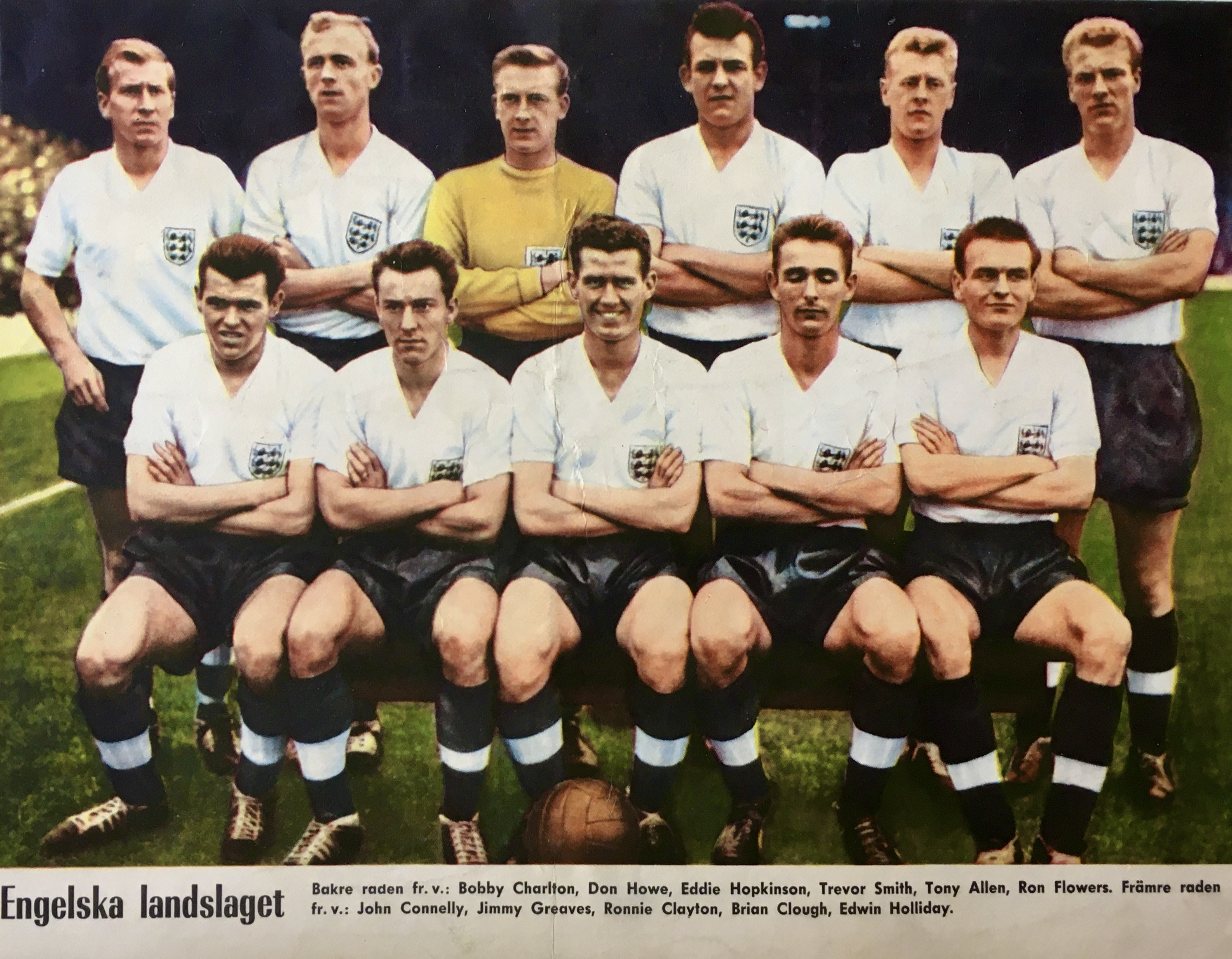
Ronald Clayton (5 August 1934 – 29 October 2010) was an English footballer who made nearly 600 appearances in the Football League playing for Blackburn Rovers. He was capped 35 times for England between 1955 and 1960. Clayton, a right half, began his career with Blackburn Rovers (where his elder brother Ken was also a squad member). He made his first-team debut as a 16-year-old in the 1950–51 season, and between then and 1969 made 581 appearances for his only Football League club. He then became player-manager of Morecambe, and also appeared for Great Harwood before retiring. At international level, Clayton was capped six times for England under-23, once for England B, and 35 times at full international level, including five as captain. He made his international debut against Northern Ireland in November 1955, and won his last cap against Yugoslavia in May 1960. He was part of England's team at the 1958 FIFA World Cup. Clayton died in October 2010. On 13 August 20 ... [...More Info...] [...Related Items...] OR: [Wikipedia] [Google] [Baidu] |
Blackburn
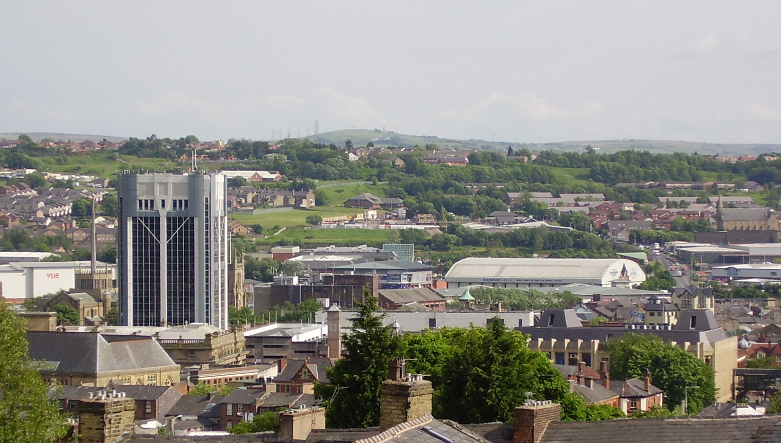
Blackburn () is an industrial town and the administrative centre of the Blackburn with Darwen borough in Lancashire, England. The town is north of the West Pennine Moors on the southern edge of the Ribble Valley, east of Preston and north-northwest of Manchester. Blackburn is the core centre of the wider unitary authority area along with the town of Darwen. It is one of the largest districts in Lancashire, with commuter links to neighbouring cities of Manchester, Salford, Preston, Lancaster, Liverpool, Bradford and Leeds. At the 2011 census, Blackburn had a population of 117,963, whilst the wider borough of Blackburn with Darwen had a population of 150,030. Blackburn had a population of 117,963 in 2011, with 30.8% being people of ethnic backgrounds other than white British. A former mill town, textiles have been produced in Blackburn since the middle of the 13th century, when wool was woven in people's houses in the domestic system. Flemish weavers who sett ... [...More Info...] [...Related Items...] OR: [Wikipedia] [Google] [Baidu] |
The Good Pub Guide
''The Good Pub Guide'' is a long-running critical publication which lists and rates public houses (pubs) in the United Kingdom.The Good Pub Guide 2009 launch press release Published by Random House's Ebury Publishing subsidiary since 1982, it is released annually in book form and, since 2009, online. By 2009, the book form guide contained over 5,000 of pubs based upon food, drink, and atmosphere. There were 1,140 fully inspected main entries and 1,931 entries recommended by readers which had yet to be inspected. In addition, the website contained a list of 55,000 pubs. [...More Info...] [...Related Items...] OR: [Wikipedia] [Google] [Baidu] |


