|
Saint-Félicien, Quebec
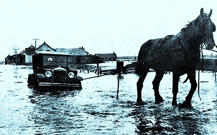
Saint-Félicien () is a city in the Canadian province of Quebec. The town is located within the Le Domaine-du-Roy Regional County Municipality in the Saguenay-Lac-Saint-Jean region. Its population as of 2021 is 10,089. History The town was founded in 1864 when the first settlers from Charlevoix and Chicoutimi arrived. It became a municipality in 1882 and the parish was established in 1884 before becoming a city in 1976 after a merger. Agriculture and saw wood were the predominant economic activities across the region in addition to hunting, fishing and dairy. The railroad started to serve the area in 1917. Wood pulp became a major contributor in the local economy starting in the 1970s. In 1971, the Cégep de Saint-Félicien opened in the city. It continues to be the primary college for the city and neighbouring towns such as Normandin and Dolbeau-Mistassini. It is the only college in Québec that offers classes in forestry. In 1996, the municipality of Saint-Methode was mer ... [...More Info...] [...Related Items...] OR: [Wikipedia] [Google] [Baidu] |
City (Quebec)
The following is a list of the types of local and supralocal territorial units in Quebec, Canada, including those used solely for statistical purposes, as defined by the Ministry of Municipal Affairs, Regions and Land Occupancy and compiled by the Institut de la statistique du Québec Not included are the urban agglomerations in Quebec, which, although they group together multiple municipalities, exercise only what are ordinarily local municipal powers. A list of local municipal units in Quebec by regional county municipality can be found at List of municipalities in Quebec. Local municipalities All municipalities (except cities), whether township, village, parish, or unspecified ones, are functionally and legally identical. The only difference is that the designation might serve to disambiguate between otherwise identically named municipalities, often neighbouring ones. Many such cases have had their names changed, or merged with the identically named nearby municipali ... [...More Info...] [...Related Items...] OR: [Wikipedia] [Google] [Baidu] |
Quebec Route 169
Route 169 begins south of Lac Saint-Jean, Quebec, Canada, at Route 175. It proceeds north to Lac Saint-Jean at Alma and encircles the lake, returning to Alma and its terminus in Hebertville. Municipalities along Route 169 * Lac-Pikauba * Lac-Jacques-Cartier * Mont-Apica * Lac-Achouakan * Lac-Ministuk * Belle-Rivière * Hébertville * Métabetchouan–Lac-à-la-Croix * Desbiens * Chambord * Roberval * Saint-Prime * Saint-Félicien * Normandin * Albanel * Dolbeau-Mistassini * Sainte-Jeanne-d'Arc * Peribonka * Sainte-Monique * Saint-Henri-de-Taillon * Alma * Saint-Bruno * Hébertville-Station * Hébertville See also * List of Quebec provincial highways References External links Interactive Provincial Route Map (Transports Québec) Route 169on Google Maps 169 Year 169 (Roman numerals, CLXIX) was a common year starting on Saturday of the Julian calendar. At the time, it was known as the Year of the Consulship of Senecio and Apollinaris (or, less fre ... [...More Info...] [...Related Items...] OR: [Wikipedia] [Google] [Baidu] |
Chibougamau
Chibougamau () is the largest town in Nord-du-Québec, central Quebec, Canada. Located on Lake Gilman, it has a population of 7,233 people (2021 Canadian census). Chibougamau is surrounded by, but not part of, the local municipality of Eeyou Istchee James Bay. Its remoteness from Lac Saint-Jean (over south-east) and Abitibi-Témiscamingue (over south-west) areas causes Chibougamau to provide services for a few smaller communities surrounding it (Mistissini, Oujé-Bougoumou, and Chapais) and for the regional resource-based industries. Despite Chibougamau's remoteness, it is only about as far north as Winnipeg and is south of any part of the mainland of England. Nearby is Lac Aux Dorés, which is fed by the Chibougamau River from the larger Chibougamau Lake after which the town was named. ''Chibougamau'' means "gathering place" in the Cree language. The neighbouring Cree village of Oujé-Bougoumou has the same name with a more traditional Cree spelling. The area surr ... [...More Info...] [...Related Items...] OR: [Wikipedia] [Google] [Baidu] |
Ashuapmushuan River
The Ashuapmushuan River is a river in the Saguenay–Lac-Saint-Jean region of the Canadian provinces of Quebec. It starts at the outlet of Lake Ashuapmushuan, and flows first in a north-easterly direction for about whereafter it continues south-east to Saint-Félicien. There it drains into Lac Saint-Jean of which it is the third largest tributary after the Peribonka and Mistassini Rivers. The river is long but its source is from its mouth.Natural Resources Canada, Atlas of Canada Rivers Typical median summer flow is between , whereas during spring run-off, the median flow is , but the river could swell anywhere from . Lowest flow conditions occur in March with a median flow of and a minimum of to a maximum of . The Ashuapmushuan River forms the northern boundary of the Ashuapmushuan Wildlife Reserve for most of its length. As a wild undeveloped river, and accessible from Quebec Route 167 close to Lake Ashuapmushuan, it is a popular destination for canoe camping. A n ... [...More Info...] [...Related Items...] OR: [Wikipedia] [Google] [Baidu] |
Roberval, Quebec
Roberval () is a city on the south-western shore of Lac Saint-Jean in the Le Domaine-du-Roy Regional County Municipality of Quebec, Canada. With a population of 9,840 in the Canada 2021 Census, it is the fourth largest city on this lake after Alma, Quebec, Alma, Dolbeau-Mistassini and Saint-Félicien, Quebec, Saint-Félicien. It is the seat of the Domaine-du-Roy RCM and the main service centre for the region with a hospital and some government services. It is also the seat of the Judicial districts of Quebec, judicial district of Roberval. It is the only Lac Saint-Jean town whose core is directly on the lakeshore. Benoît Bouchard, former cabinet Minister and Canadian Ambassador in France, and Michel Gauthier, former federal Leader of the Opposition (Canada), Leader of the Opposition, represented the area in the federal parliament. Bernard Lord the former Premier of New Brunswick was born here. Roberval was the 2008 winner of ''Kraft Hockeyville''. In their newly renovated arena, ... [...More Info...] [...Related Items...] OR: [Wikipedia] [Google] [Baidu] |
Lac Saint-Jean
Lac Saint-Jean (, ) is a large, relatively shallow lake in south-central Quebec, Canada, in the Laurentian Highlands. It is situated north of the Saint Lawrence River, into which it drains via the Saguenay River. It covers an area of , and is at its deepest point. Its name in the Innu language is Piekuakamu. Description The lake is fed by dozens of small rivers, including the Ashuapmushuan, the Mistassini, the Peribonka, the Des Aulnaies, the Métabetchouane, and the Ouiatchouane. The towns on its shores include Alma, Dolbeau-Mistassini, Roberval, Normandin, and Saint-Félicien. Three Regional County Municipalities lie on its shores: Lac-Saint-Jean-Est, Le Domaine-du-Roy, and Maria-Chapdelaine. History The lake was named Piekuakami by the Innu, the Indigenous people who occupied the area at the time of European arrival. It was given its French name by Jean de Quen, a Jesuit missionary who in 1647 was the first European to reach its shores. Industry on the lak ... [...More Info...] [...Related Items...] OR: [Wikipedia] [Google] [Baidu] |
Dolbeau-Mistassini
Dolbeau-Mistassini () is a town in northern Quebec, Canada, at the confluence of the Mistassibi River, Riviere aux Rats and the Mistassini River, on Lac Saint-Jean. Dolbeau-Mistassini is in the Maria-Chapdelaine Regional County Municipality and is the commercial hub of Lac-St-Jean with big stores and shopping centres. The city was formed in 1997 through the amalgamation of the cities of Dolbeau and Mistassini. Dolbeau is located on the right (west) bank of the Mistassini River, in the geographic township of Parent (not in the adjacent Dolbeau Township). The town of Mistassini is on the left (east) bank of the Mistassini River at the confluence with the Mistassibi River, directly opposite Dolbeau. History The first settler in Mistassini may have been François Gaudreault in 1884. But credit is given to Trappists for founding the town, an exceptional case in Quebec. In 1892, the Trappists of Oka, Quebec, Oka were granted of land between the Mistassini and Mistassibi Rivers by the ... [...More Info...] [...Related Items...] OR: [Wikipedia] [Google] [Baidu] |
Normandin, Quebec
Normandin () is a city located on the west side of Lac Saint-Jean in the Canadian province of Quebec. Normandin is named after the surveyor Joseph-Laurent Normandin. Its history of European-Canadian settlement began in 1878 when the first pioneers arrived. Alphonse Laliberté was elected as Normandin's first mayor in 1890. In 1926, the village was set up as a municipality distinct from the township; the notary J.S.N. Turcotte occupied the function of first magistrate. The city is the birthplace of radio talk show psychiatrist Pierre Mailloux. It is also the hometown (though not birthplace) of André Dédé Fortin, the late lead singer of Les Colocs. Demographics In the 2021 Census of Population conducted by Statistics Canada, Normandin had a population of living in of its total private dwellings, a change of from its 2016 population of . With a land area of , it had a population density of in 2021. In 2021, the median age was 45.2, as opposed to 41.6 for all of Cana ... [...More Info...] [...Related Items...] OR: [Wikipedia] [Google] [Baidu] |
Cégep De Saint-Félicien
The Cégep de Saint-Félicien is a CEGEP located at 1105 boulevard Hamel, Saint-Félicien, Quebec, Canada. History The college traces its origins to the merger of several institutions which became public ones in 1967, when the Quebec system of CEGEPs was created. The college was founded in 1971. Programs Technical Programs * Processing of Forest Products * First aid care * Nature Technique * Administration * Information * Tourism Pre-University Programs * Natural Science * Human Science * Arts and Letters * Sciences, Letters and Arts See also *List of colleges in Quebec This is a list of colleges in Quebec, sorted by type. Public colleges Abitibi-Témiscamingue * Cégep de l'Abitibi-Témiscamingue, Rouyn-Noranda Bas-Saint-Laurent * Cégep de La Pocatière, La Pocatière * Cégep de Rimouski, Rimouski * ... * Higher education in Quebec External linksOfficial website Quebec CEGEP Education in Saguenay–Lac-Saint-Jean Educational institutions establish ... [...More Info...] [...Related Items...] OR: [Wikipedia] [Google] [Baidu] |
Wood Pulp
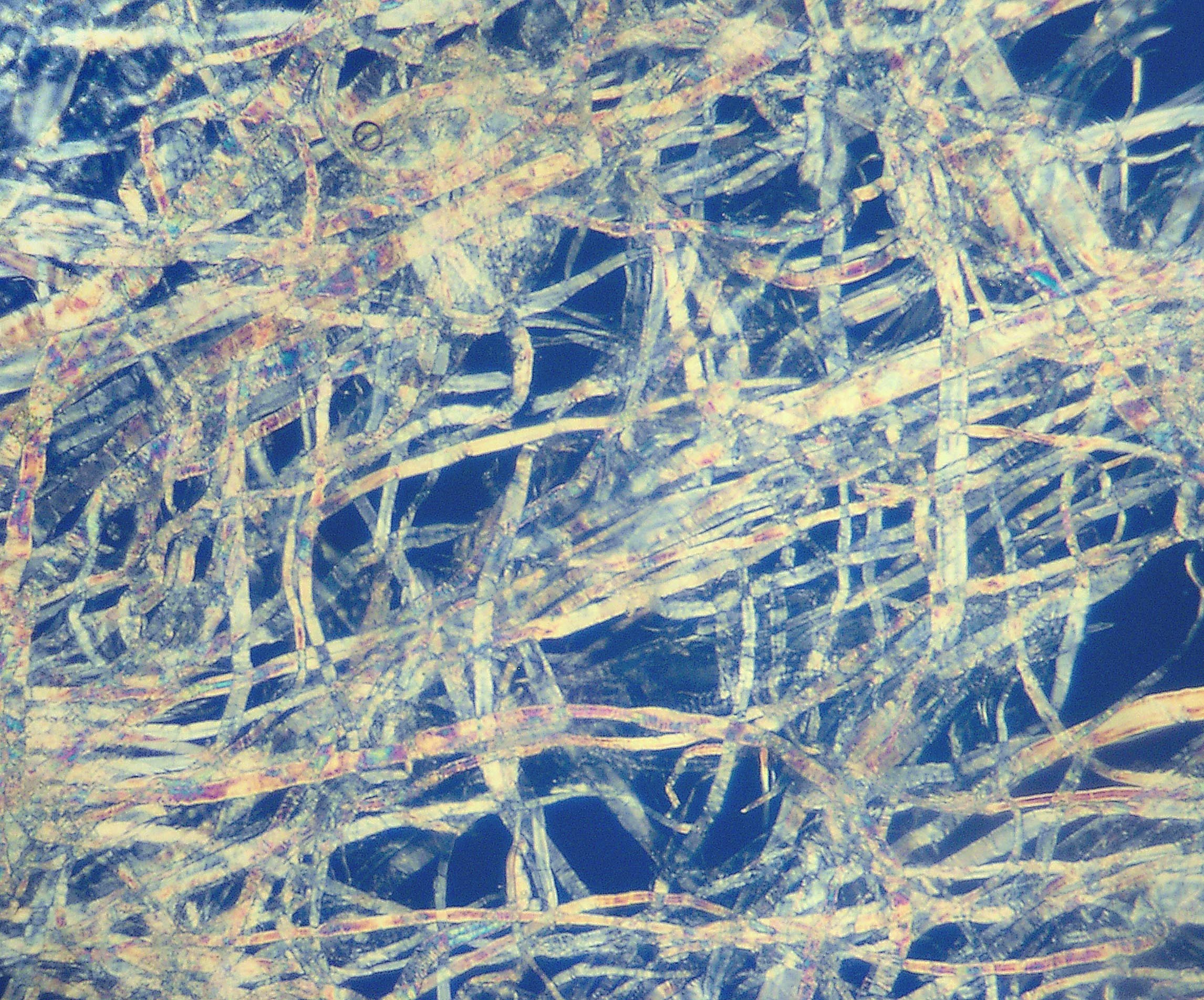
Pulp is a fibrous Lignocellulosic biomass, lignocellulosic material prepared by chemically, semi-chemically, or mechanically isolating the cellulose fiber, cellulosic fibers of wood, fiber crops, Paper recycling, waste paper, or cotton paper, rags. Mixed with water and other chemicals or plant-based additives, pulp is the major raw material used in papermaking and the industrial production of other Pulp and paper industry, paper products. History Before the widely acknowledged invention of papermaking by Cai Lun in China around AD 105, paper-like writing materials such as papyrus and amate were produced by ancient civilizations using plant materials which were largely unprocessed. Strips of Bark (botany), bark or Bast fibre, bast material were woven together, beaten into rough sheets, dried, and polished by hand. Pulp used in modern and traditional papermaking is distinguished by the process which produces a finer, more regular slurry of cellulose fibers which are pulled out of ... [...More Info...] [...Related Items...] OR: [Wikipedia] [Google] [Baidu] |


