|
Saint-Claude (Besançon)
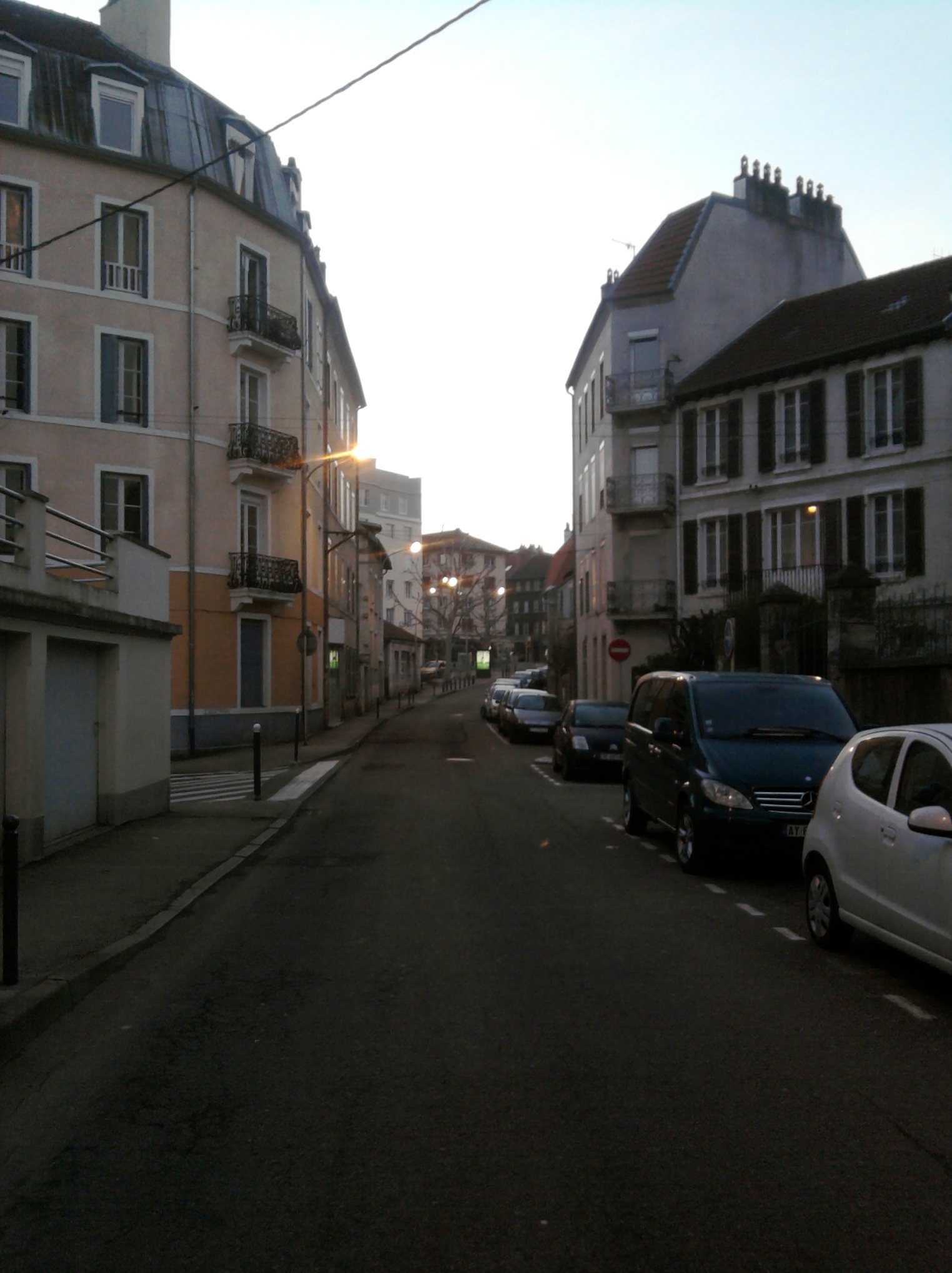
Saint-Claude is a large district of the east of Besançon. History In 1965 was built the "City of Montarmots" in Saint-Claude, who has more than 30 dwellings. The primary purpose of these units was to host the Franco-Algerian rappatriés recently (since the Algerian War) Geography The area is located to the east of Besançon, near Orchamps, Fontaine-écu and Chaprais. Enseignement Sports and Cultural Facilities * Sports Complex of Saint Claude Place of worship * The great mosque of Besançon * Church of Saint Claude Monuments * Cemetery of St. Claude * Fort of justices Other buildings * Funérarium-crématorium Transports * The line 2 and 22 serves the area See also * Besançon Besançon (, , , ; archaic german: Bisanz; la, Vesontio) is the prefecture of the department of Doubs in the region of Bourgogne-Franche-Comté. The city is located in Eastern France, close to the Jura Mountains and the border with Switzer ... Sources and references ... [...More Info...] [...Related Items...] OR: [Wikipedia] [Google] [Baidu] |
Besançon
Besançon (, , , ; archaic german: Bisanz; la, Vesontio) is the prefecture of the department of Doubs in the region of Bourgogne-Franche-Comté. The city is located in Eastern France, close to the Jura Mountains and the border with Switzerland. Capital of the historic and cultural region of Franche-Comté, Besançon is home to the Bourgogne-Franche-Comté regional council headquarters, and is an important administrative centre in the region. It is also the seat of one of the fifteen French ecclesiastical provinces and one of the two divisions of the French Army. In 2019 the city had a population of 117,912, in a metropolitan area of 280,701, the second in the region in terms of population. Established in a meander of the river Doubs, the city was already important during the Gallo-Roman era under the name of ''Vesontio'', capital of the Sequani. Its geography and specific history turned it into a military stronghold, a garrison city, a political centre, and a religious c ... [...More Info...] [...Related Items...] OR: [Wikipedia] [Google] [Baidu] |
Orchamps (Besançon)
Orchamps is a neighbourhood in the south-east of the city of Besançon, France. Like nearby Clairs-Soleils and Planoise, to the west of the city, Orchamps was built in the late 1960s. It is situated close to Bregille. For education, the neighbourhood is served by the Édouard Herriot public kindergarten and the Édouard Herriot public primary school. For transport, it is served by bus A bus (contracted from omnibus, with variants multibus, motorbus, autobus, etc.) is a road vehicle that carries significantly more passengers than an average car or van. It is most commonly used in public transport, but is also in use for cha ... routes 1, 2, 3, 5, 6, 22, 32, 35, 71, 72, 73, 74 and 75. Areas of Besançon {{Doubs-geo-stub ... [...More Info...] [...Related Items...] OR: [Wikipedia] [Google] [Baidu] |
Fontaine-écu
Montrapon, with Fontaine-Écu are two sectors forming an area located in the north of Besançon (France France (), officially the French Republic ( ), is a country primarily located in Western Europe. It also comprises of Overseas France, overseas regions and territories in the Americas and the Atlantic Ocean, Atlantic, Pacific Ocean, Pac ...). In 1990, they counted approximately 10,000 inhabitants.Des quartiers et des hommes, chapitre VI : base de données des quartier/ref> The Fort of Justices was located in this area. References Areas of Besançon {{France-stub ... [...More Info...] [...Related Items...] OR: [Wikipedia] [Google] [Baidu] |
Chaprais
The Chaprais or Chaprais is a district of Besançon, which was developed from the second half of the 19th century. Located in north-east of the historic center, it has 15,500 inhabitants which makes the second bigger area of the city Etymology Chaprais would be the contraction of "fields" and "meadows" History The first are Chaprais a hamlet vegetable that grows in the second half of the eighteenth. Over the next century, the area is urbanizing slowly and after the construction of the Besançon station at the north end of Chaprais. Its development is accelerated with the construction of the current bridge of the Republic. At the end of the 19th century, Chaprais are a dynamic that attracts modern industrial (automobile brand Schneider, for example), but the bourgeoisie Bisontine who built beautiful villas such as those of the rue de Vittel. This vitality is also Chaprais favorite neighborhood in the municipality built a second station called the Mouillère, and promotes the buildin ... [...More Info...] [...Related Items...] OR: [Wikipedia] [Google] [Baidu] |

