|
River Wandle
The River Wandle is a right-bank tributary of the River Thames in south London, England. With a total length of about , the river passes through the London boroughs of London Borough of Croydon, Croydon, London Borough of Sutton, Sutton, London Borough of Merton, Merton and London Borough of Wandsworth, Wandsworth, where it reaches the Thames. A short headwater – the Caterham Bourne – is partially in Surrey, the historic county of the river's catchment. Tributaries of the Wandle include The Wrythe and Norbury Brook. The name ''Wandle'' is thought to derive from a back-formation of Wandsworth (Old English language, Old English "Wendlesworth" meaning "Wendle's Settlement”). The Wandle Trail follows the course of the river from Croydon to Wandsworth. History and boundaries In the pleistocene before the carving of the River Mole#Mole Gap, Mole Gap, water lapped the north of the area between the North Downs and Greensand Hills known as the Vale of Holmesdale taking the Cat ... [...More Info...] [...Related Items...] OR: [Wikipedia] [Google] [Baidu] |
Morden Hall Park
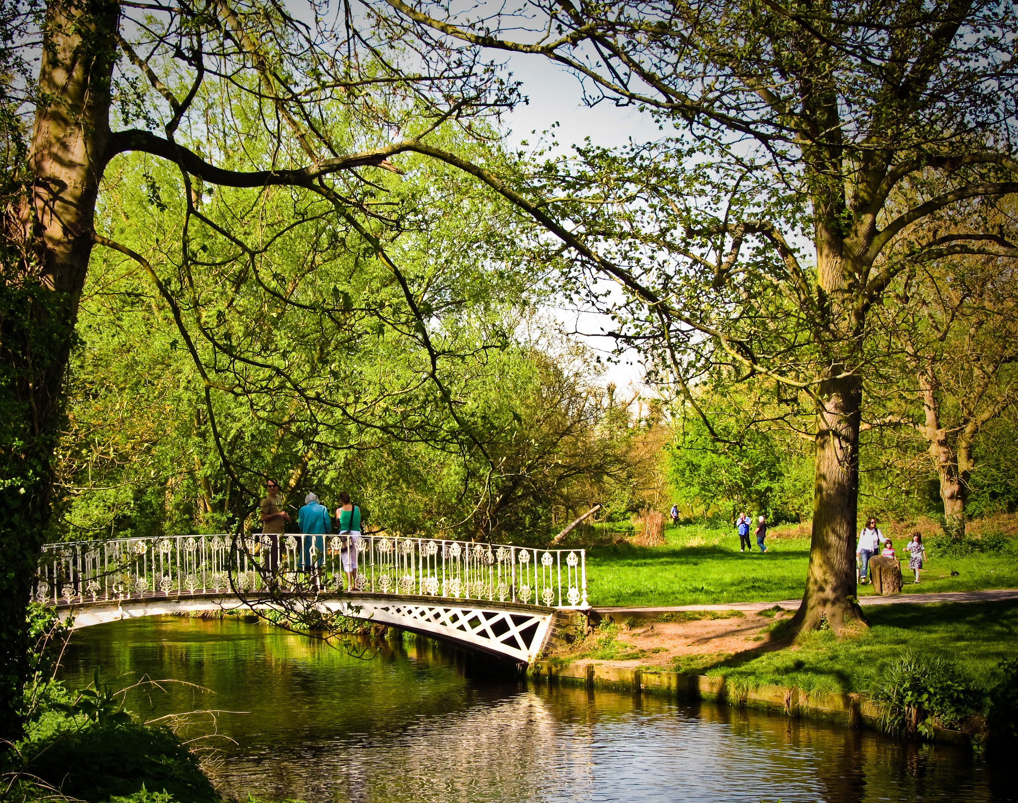
Morden Hall Park is a National Trust park on the banks of the Wandle in Morden, south London. Its several buildings and associated parking included, it is of predominantly parkland. Hinting at the former mill leats the river here splits into channels, generally, through it spanned by numerous footbridges. The estate contains Morden Hall itself, Morden Cottage, two well-preserved snuff watermills, a restored stableyard, a dog-friendly café, exhibition space and second-hand bookshop. A western part, separately accessed, hosts the National Trust's only Garden Centre. History The estate land was originally owned by Westminster Abbey. There is evidence of an earlier manor-house originally built by the Garth family where Morden Lodge now stands. The Hall dates back to the 1770s and contains a variety of natural landscapes, including the parkland of the "Deer Park", meadow and wetland. A number of historic buildings are located in the park, including the Hall itself and preserve ... [...More Info...] [...Related Items...] OR: [Wikipedia] [Google] [Baidu] |
Tributary
A tributary, or affluent, is a stream or river that flows into a larger stream or main stem (or parent) river or a lake. A tributary does not flow directly into a sea or ocean. Tributaries and the main stem river drain the surrounding drainage basin of its surface water and groundwater, leading the water out into an ocean. The Irtysh is a chief tributary of the Ob river and is also the longest tributary river in the world with a length of . The Madeira River is the largest tributary river by volume in the world with an average discharge of . A confluence, where two or more bodies of water meet, usually refers to the joining of tributaries. The opposite to a tributary is a distributary, a river or stream that branches off from and flows away from the main stream. PhysicalGeography.net, Michael Pidwirny & S ... [...More Info...] [...Related Items...] OR: [Wikipedia] [Google] [Baidu] |
Merstham
Merstham is a town in the borough of Reigate and Banstead in Surrey, England. It lies 25 miles south of Charing Cross and 2 miles south of the Greater London border. Part of the North Downs Way runs along the northern boundary of the town. Merstham has community associations, an early medieval church and a football club. Neighbourhoods Old Merstham Old Merstham forms the north and north-west of modern Merstham and is the original village centre. There is a small day school by the railway station, a pub, a few barbershops and a small number of other shops. The Merstham Estate/New Merstham After World War II the London County Council built the Merstham Estate, originally entirely public housing, was built to a geometric layout in the eastern fields. This area has its own parade of shops, the Brook recreation ground, three schools, and a youth/community centre along Radstock Way. Oakley, a small country house, is listed and has Victorian gothic architecture features. South Mers ... [...More Info...] [...Related Items...] OR: [Wikipedia] [Google] [Baidu] |
Vale Of Holmesdale
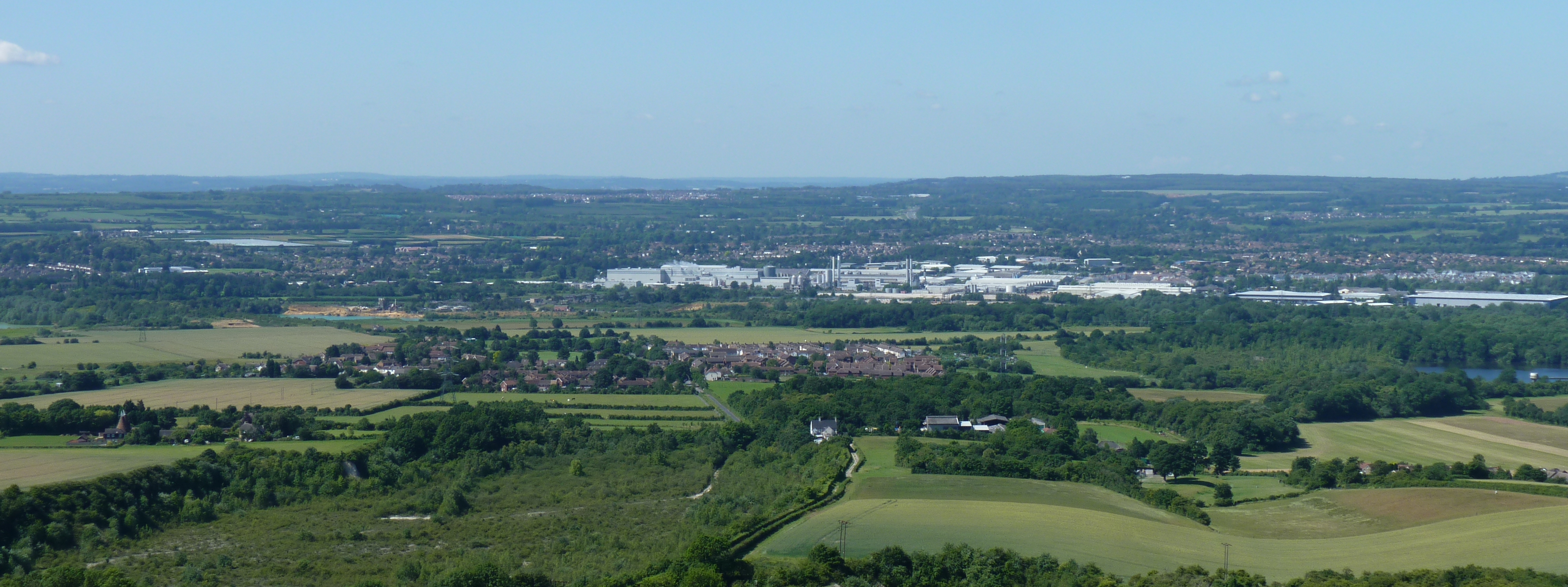
Holmesdale, also known as the Vale of Holmesdale, is a valley in South-East England South East England is one of the nine official regions of England at the first level of ITL for statistical purposes. It consists of the counties of Buckinghamshire, East Sussex, Hampshire, the Isle of Wight, Kent, Oxfordshire, Berkshire, ... that falls between the hill ranges of the North Downs and the Greensand Ridge of the Weald, in the counties of Kent and Surrey. It stretches from Folkestone on the Kent coast, through Ashford, Kent, Ashford, Harrietsham, Maidstone, Riverhead, Kent, Riverhead/Sevenoaks, Westerham, Oxted, Godstone, Redhill, Surrey, Redhill, Reigate, Dorking, Gomshall, and Guildford – west of which it is also called by the local name of "Puttenham Vale" – as it continues through the village of Puttenham, Surrey, Puttenham, to the market town of Farnham. Geology Holmesdale is part of the Weald Basin and Weald–Artois Anticline, Weald-Artois Anticline. The valley ... [...More Info...] [...Related Items...] OR: [Wikipedia] [Google] [Baidu] |
River Mole
The River Mole is a tributary of the River Thames in southern England. It rises in West Sussex near Gatwick Airport and flows northwest through Surrey for to the Thames at Hampton Court Palace. The river gives its name to the Surrey district of Mole Valley. The Mole crosses the North Downs between Dorking and Leatherhead, where it cuts a steep-sided valley, known as the Mole Gap, through the chalk. Much of the catchment area lies on impermeable rock (including Weald Clay and London Clay), meaning that the river level responds rapidly to heavy rainfall. During the second half of the 20th century pollution levels in the river were high; however, since 1995 the water quality has improved dramatically and the Mole now boasts the greatest diversity of fish species of any river in England. Twelve Sites of Special Scientific Interest (SSSIs) that include wetland habitats are located within the Mole catchment area, and the stretch of river through Leatherhead has been designated a ... [...More Info...] [...Related Items...] OR: [Wikipedia] [Google] [Baidu] |
Pleistocene
The Pleistocene ( , often referred to as the ''Ice age'') is the geological Epoch (geology), epoch that lasted from about 2,580,000 to 11,700 years ago, spanning the Earth's most recent period of repeated glaciations. Before a change was finally confirmed in 2009 by the International Union of Geological Sciences, the cutoff of the Pleistocene and the preceding Pliocene was regarded as being 1.806 million years Before Present (BP). Publications from earlier years may use either definition of the period. The end of the Pleistocene corresponds with the end of the last glacial period and also with the end of the Paleolithic age used in archaeology. The name is a combination of Ancient Greek grc, label=none, πλεῖστος, pleīstos, most and grc, label=none, καινός, kainós (latinized as ), 'new'. At the end of the preceding Pliocene, the previously isolated North and South American continents were joined by the Isthmus of Panama, causing Great American Interchang ... [...More Info...] [...Related Items...] OR: [Wikipedia] [Google] [Baidu] |
Bridge Over The Wandle, Beddington Park - Geograph
A bridge is a structure built to span a physical obstacle (such as a body of water, valley, road, or rail) without blocking the way underneath. It is constructed for the purpose of providing passage over the obstacle, which is usually something that is otherwise difficult or impossible to cross. There are many different designs of bridges, each serving a particular purpose and applicable to different situations. Designs of bridges vary depending on factors such as the function of the bridge, the nature of the terrain where the bridge is constructed and anchored, and the material used to make it, and the funds available to build it. The earliest bridges were likely made with fallen trees and stepping stones. The Neolithic people built boardwalk bridges across marshland. The Arkadiko Bridge (dating from the 13th century BC, in the Peloponnese) is one of the oldest arch bridges still in existence and use. Etymology The ''Oxford English Dictionary'' traces the origin of the ... [...More Info...] [...Related Items...] OR: [Wikipedia] [Google] [Baidu] |
Carshalton 2007
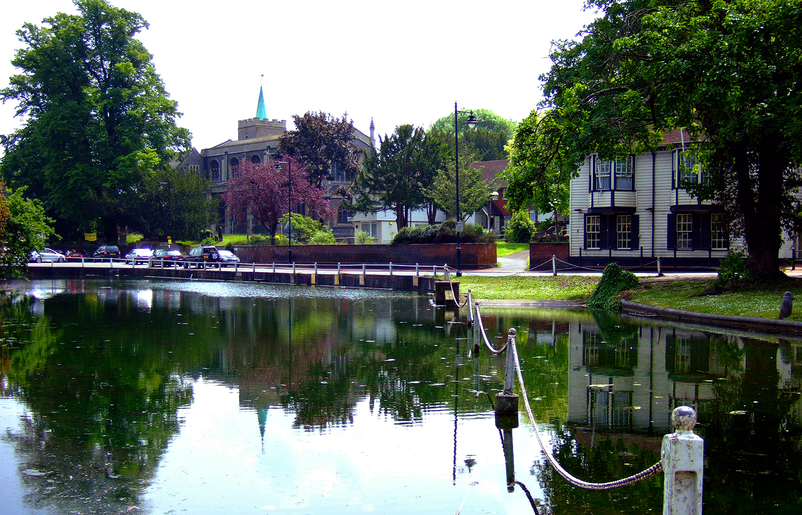
Carshalton () is a town, with a historic village centre, in south London, England, within the London Borough of Sutton. It is situated south-southwest of Charing Cross, in the valley of the River Wandle, one of the sources of which is Carshalton Ponds in the middle of the village. Prior to the creation of Greater London in 1965, Carshalton was in the administrative county of Surrey. Carshalton consists of a number of neighbourhoods. The main focal point, Carshalton Village, is visually scenic and picturesque. At its centre it has two adjoining ponds, which are overlooked by the Grade II listed All Saints Church on the south side and the Victorian Grove Park on the north side. The Grade II listed Honeywood Museum sits on the west side, a few yards from the water. There are a number of other listed buildings, as well as three conservation areas, including one in the village. In addition to Honeywood Museum, there are several other cultural features in Carshalton, including the ... [...More Info...] [...Related Items...] OR: [Wikipedia] [Google] [Baidu] |
Wandle Trail
The Wandle Trail is a walking and cycling trail that follows the River Wandle from Croydon to Wandsworth in south-west London Background The Wandle Trail was established by the Wandle Group in association with the Wandle Industrial Museum in September 1988, launched with a walk with over 200 participants, led by Colin Saunders. ''The Wandle Trail Map and Guide'' was put together in 1996 by the Wandle Industrial Museum with the support and help of London Borough of Merton, and sponsorship from Brown and Root. The original map was heritage and walk based (although the first, more limited version appeared some years earlier concentrating on disability access to the River Wandle), but then a revised map was produced by Groundwork Merton to facilitate bicycle access. Organisation The Wandle Trail Group is now responsible for the promotion of the trail. The group consist of an association of the London Boroughs of Wandsworth, Merton and Sutton, together with Groundwork Merton (a ch ... [...More Info...] [...Related Items...] OR: [Wikipedia] [Google] [Baidu] |
Old English Language
Old English (, ), or Anglo-Saxon, is the earliest recorded form of the English language, spoken in England and southern and eastern Scotland in the early Middle Ages. It was brought to Great Britain by Anglo-Saxon settlers in the mid-5th century, and the first Old English literary works date from the mid-7th century. After the Norman conquest of 1066, English was replaced, for a time, by Anglo-Norman (a relative of French) as the language of the upper classes. This is regarded as marking the end of the Old English era, since during this period the English language was heavily influenced by Anglo-Norman, developing into a phase known now as Middle English in England and Early Scots in Scotland. Old English developed from a set of Anglo-Frisian or Ingvaeonic dialects originally spoken by Germanic tribes traditionally known as the Angles, Saxons and Jutes. As the Germanic settlers became dominant in England, their language replaced the languages of Roman Britain: Common Br ... [...More Info...] [...Related Items...] OR: [Wikipedia] [Google] [Baidu] |
Back-formation
In etymology, back-formation is the process or result of creating a new word via inflection, typically by removing or substituting actual or supposed affixes from a lexical item, in a way that expands the number of lexemes associated with the corresponding root word.Crystal, David. ''A Dictionary of Linguistics and Phonetics, Sixth Edition'', Blackwell Publishers, 2008. The resulting is called a ''back-formation'', a term coined by James Murray in 1889. (''Oxford English Dictionary Online'' preserves its first use of 'back-formation' from 1889 in the definition of ''to burgle''; from ''burglar''.) For example, the noun ''resurrection'' was borrowed from Latin, and the verb ''resurrect'' was then back-formed hundreds of years later from it by removing the ''-ion'' suffix. This segmentation of ''resurrection'' into ''resurrect'' + ''ion'' was possible because English had examples of Latin words in the form of verb and verb+''-ion'' pairs, such as ''opine/opinion''. These became ... [...More Info...] [...Related Items...] OR: [Wikipedia] [Google] [Baidu] |
Surrey
Surrey () is a ceremonial and non-metropolitan county in South East England, bordering Greater London to the south west. Surrey has a large rural area, and several significant urban areas which form part of the Greater London Built-up Area. With a population of approximately 1.2 million people, Surrey is the 12th-most populous county in England. The most populated town in Surrey is Woking, followed by Guildford. The county is divided into eleven districts with borough status. Between 1893 and 2020, Surrey County Council was headquartered at County Hall, Kingston-upon-Thames (now part of Greater London) but is now based at Woodhatch Place, Reigate. In the 20th century several alterations were made to Surrey's borders, with territory ceded to Greater London upon its creation and some gained from the abolition of Middlesex. Surrey is bordered by Greater London to the north east, Kent to the east, Berkshire to the north west, West Sussex to the south, East Sussex to ... [...More Info...] [...Related Items...] OR: [Wikipedia] [Google] [Baidu] |


