|
River Till, Lincolnshire
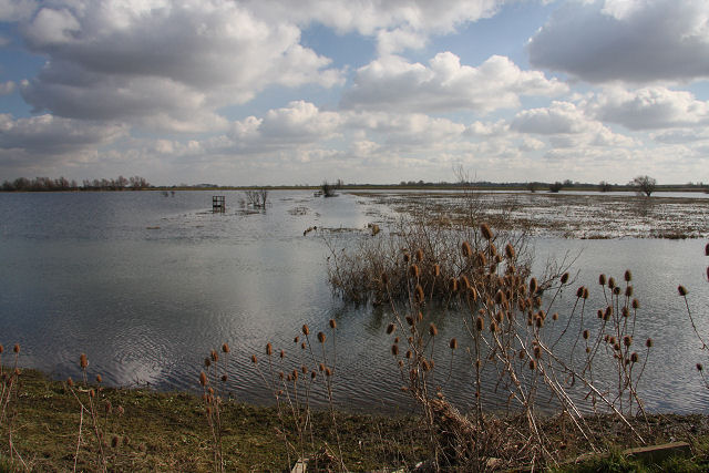
The River Till is a river in the county of Lincolnshire in England and is ultimately a tributary of the River Witham. Its upper reaches drain the land east of Gainsborough, Lincolnshire, Gainsborough. The middle section is embanked, as the water level is higher than that of the surrounding land, and pumping stations pump water from low level drainage ditches into the river. Its lower reaches from the hamlet of Odder near Saxilby into the city of Lincoln, England, Lincoln were canalised, possibly as early as Roman Britain, Roman times, as part of the Foss Dyke. Much of the channel is managed by the Environment Agency as it is classified as a main river, while the upper river and the land drainage ditches which border the river are managed by the Upper Witham internal drainage board. In order the help protect the city of Lincoln from flooding, a sluice has been built across the channel at the Till Washlands site. When flooding is a possibility, the sluice is closed, and other slui ... [...More Info...] [...Related Items...] OR: [Wikipedia] [Google] [Baidu] |
England
England is a country that is part of the United Kingdom. It shares land borders with Wales to its west and Scotland to its north. The Irish Sea lies northwest and the Celtic Sea to the southwest. It is separated from continental Europe by the North Sea to the east and the English Channel to the south. The country covers five-eighths of the island of Great Britain, which lies in the North Atlantic, and includes over 100 smaller islands, such as the Isles of Scilly and the Isle of Wight. The area now called England was first inhabited by modern humans during the Upper Paleolithic period, but takes its name from the Angles, a Germanic tribe deriving its name from the Anglia peninsula, who settled during the 5th and 6th centuries. England became a unified state in the 10th century and has had a significant cultural and legal impact on the wider world since the Age of Discovery, which began during the 15th century. The English language, the Anglican Church, and Engli ... [...More Info...] [...Related Items...] OR: [Wikipedia] [Google] [Baidu] |
Upton, Lincolnshire
Upton is a small village and civil parish in the West Lindsey district of Lincolnshire, England. The population of the civil parish at the 2011 census was 456. It is geographically situated south-east from Gainsborough Gainsborough or Gainsboro may refer to: Places * Gainsborough, Ipswich, Suffolk, England ** Gainsborough Ward, Ipswich * Gainsborough, Lincolnshire, a town in England ** Gainsborough (UK Parliament constituency) * Gainsborough, New South Wales, .... References External links *Upton Village web site Retrieved 13 August 2011 Villages in Lincolnshire Civil parishes in Lincolnshire West Lindsey District {{Lincolnshire-geo-stub ... [...More Info...] [...Related Items...] OR: [Wikipedia] [Google] [Baidu] |
Spalford
Spalford is a hamlet and civil parish in the Newark and Sherwood district of Nottinghamshire, England. Spalford was listed in the Domesday Book (1086) as 'Spaldesforde'. The hamlet is located between South Clifton and Weecar near the county boundary with Lincolnshire, north of Newark-on-Trent. Spalford was a township in the parish of North Clifton, it became a separate parish in 1866. According to the 2001 census it had a population of 85. To the west of the parish is the River Trent, and to the south is the Local nature reserve and Site of Special Scientific Interest known as Spalford Warren. The reserve habitat is made up of blown sand heathland, which is rare in Nottinghamshire. Spalford Floodbank In 1795 during the largest known flood on the Trent, the floodbank which is situated between Spalford and the river was breached. Floodwaters from the breach spread out across the low-lying land, even reaching the River Witham and flooding Lincoln Lincoln most commonly refers t ... [...More Info...] [...Related Items...] OR: [Wikipedia] [Google] [Baidu] |
River Trent
The Trent is the Longest rivers of the United Kingdom, third-longest river in the United Kingdom. Its Source (river or stream), source is in Staffordshire, on the southern edge of Biddulph Moor. It flows through and drains the North Midlands. The river is known for dramatic flooding after storms and spring snowmelt, which in the past often caused the river to change course. The river passes through Stoke-on-Trent, Stone, Staffordshire , Stone, Rugeley, Burton upon Trent and Nottingham before joining the River Ouse, Yorkshire, River Ouse at Trent Falls to form the Humber Estuary, which empties into the North Sea between Kingston upon Hull, Hull in Yorkshire and Immingham in Lincolnshire. The wide Humber estuary has often been described as the boundary between the Midlands and the north of England. Name The name "Trent" is possibly from a Romano-British word meaning "strongly flooding". More specifically, the name may be a contraction of two Romano-British words, ''tros'' (" ... [...More Info...] [...Related Items...] OR: [Wikipedia] [Google] [Baidu] |
A46 Road
The A46 is a major A road in England. It starts east of Bath, Somerset and ends in Cleethorpes, Lincolnshire, but it does not form a continuous route. Large portions of the old road have been lost, bypassed, or replaced by motorway development. Between Leicester and Lincoln the road follows the course of the Roman Fosse Way, but between Bath and Leicester, two cities also linked by the Fosse Way, it follows a more westerly course. History It opened in June 1974. The original (1923) route of the A46 was from Bath to Laceby, passing through Cheltenham, Broadway, Stratford-on-Avon, Coventry, Leicester, Newark and Lincoln. Unusually for such a long road, no changes were made to its route until the 1970s. In recent years the central sections of the road have been rerouted and renumbered substantially, and there are now two sections where there are gaps of over where the road does not exist at all. The A46 has also been extended from Laceby to Grimsby and Cleethorpes - the r ... [...More Info...] [...Related Items...] OR: [Wikipedia] [Google] [Baidu] |
A57 Road
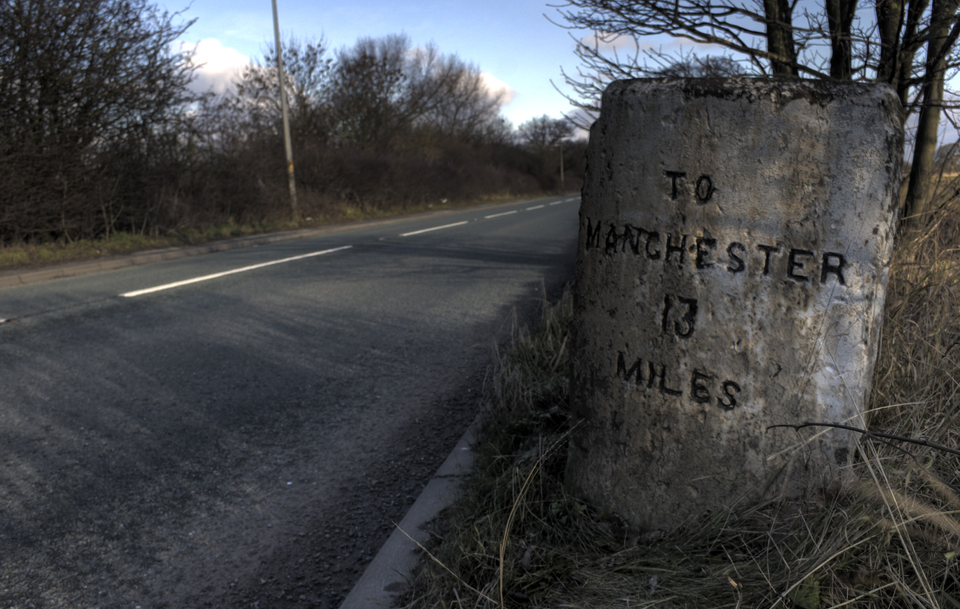
The A57 is a major road in England. It runs east from Liverpool to Lincoln, England, Lincoln via Warrington, Cadishead, Irlam, Patricroft, Eccles, Greater Manchester, Eccles, Salford, Greater Manchester, Salford and Manchester, then through the Pennines over the Snake Pass (between the high moorlands of Bleaklow and Kinder Scout), around the Ladybower Reservoir, through Sheffield and past Worksop. Between Liverpool and Glossop, the road has largely been superseded by the M62 motorway, M62, M602 motorway, M602 and M67 motorways. Within Manchester a short stretch becomes the Mancunian Way, designated A57(M). Route Liverpool–Warrington The A57 begins at The Strand (A5036) near the River Mersey, as part of Water Street. It forms an east–west route through the north of the city centre with another one-way road system as Tithebarn Street (passing part of Liverpool John Moores University), Great Crosshall Street and Churchill Way in the east direction and Churchill Way and Dale ... [...More Info...] [...Related Items...] OR: [Wikipedia] [Google] [Baidu] |
Washland
Washland or washes are areas of land adjacent to rivers which are deliberately flooded at times when the rivers are high, to avoid flooding in residential or important agricultural areas. They often provide for overwintering wildfowl, and several include important nature reserves. Examples of washlands include: * The Ouse Washes of Cambridgeshire and Norfolk * The Nene Washes Nene may refer to: People *Nene (name), list of people with this name * Nene (aristocrat) (1546–1624), principal samurai wife of Toyotomi Hideyoshi * Nené (footballer, 1942-2016), nickname of Brazilian footballer Claudio Olinto de Carvalho * ... of Cambridgeshire References {{reflist Landforms Flood control ... [...More Info...] [...Related Items...] OR: [Wikipedia] [Google] [Baidu] |
Broxholme
Broxholme is a village and civil parish in the West Lindsey district of Lincolnshire, England. The village is situated approximately north-west from the city and county town of Lincoln. According to the 2001 Census, Broxholme had a population of 58. At the 2011 census the population remained less than 100 and was included in the civil parish of South Carlton. Broxholme Grade II listed Anglican parish church is dedicated to All Saints. It was rebuilt in 1857.Cox, J. Charles (1916) ''Lincolnshire'' p. 349; Methuen & Co. Ltd References External links *"Broxholme" Genuki GENUKI is a genealogy web portal, run as a charitable trust. It "provides a virtual reference library of genealogical information of particular relevance to the UK and Ireland". It gives access to a large collection of information, with the emphas ....org.uk. Retrieved 3 July 2011 Villages in Lincolnshire Civil parishes in Lincolnshire West Lindsey District {{Lincolnshire-geo-stub ... [...More Info...] [...Related Items...] OR: [Wikipedia] [Google] [Baidu] |
Bransby
Bransby is a hamlet in the West Lindsey district of Lincolnshire, England. It is situated approximately north-west from the city and county town of Lincoln, south-east from Gainsborough, and from both the A1500 Roman road Roman roads ( la, viae Romanae ; singular: ; meaning "Roman way") were physical infrastructure vital to the maintenance and development of the Roman state, and were built from about 300 BC through the expansion and consolidation of the Roman Re ... to the north, and the B1241 to the west. The River Till flows past the village to the east. References External links * Hamlets in Lincolnshire West Lindsey District {{Lincolnshire-geo-stub ... [...More Info...] [...Related Items...] OR: [Wikipedia] [Google] [Baidu] |
A1500 Road
The A1500 is an 'A' road entirely within the English county of Lincolnshire. It links the A156 at Marton with the A15 south of RAF Scampton via Sturton by Stow. The A1500 follows the Roman road Till Bridge Lane and at the very end at Scampton, Horncastle Lane. This Roman Road was part of the Alternative route from Lincoln to York used when the Humber was impassable, and is thus associated with Ermine Street in the Antonine Itinerary. Route The A1500 starts in the village of Marton, at , and runs south of east along the Roman alignment. The junction in the Village is actually a crossroads: The Roman alignment is maintained toward the west, crosses the River Trent to Littleborough, Nottinghamshire, and can be intermittently discovered nearly to Bawtry. (None of this is part of the A1500.) The A1500 follows the Roman Road through Sturton by Stow at , crosses the River Till by ''Till Bridge Farm'' at , until near Scampton village. From here the modern road deviat ... [...More Info...] [...Related Items...] OR: [Wikipedia] [Google] [Baidu] |
Sturton By Stow
Sturton by Stow is a village and civil parish in the West Lindsey district of Lincolnshire, England. The population of the civil parish was 1,369 at the 2011 census. The village is situated on the north-south B1241 and east–west A1500 Tillbridge Road (a Roman road). Nearby to the north is Stow. Sturton falls within the ecclesiastical parish of Stow, consequently the parish church of Sturton is Stow Minster. The Church of England maintains a mission church in Sturton, a brick building dedicated to St Hugh and designed by John Loughborough Pearson. The Sturton by Stow Secondary Modern School closed in the 1980s. There is a primary school on School Lane. The village public house A pub (short for public house) is a kind of drinking establishment which is licensed to serve alcoholic drinks for consumption on the premises. The term ''public house'' first appeared in the United Kingdom in late 17th century, and was ... is the Plough Inn on Tillbridge Road. The River ... [...More Info...] [...Related Items...] OR: [Wikipedia] [Google] [Baidu] |


.jpg)