|
Reykjahlíð
Reykjahlíð () is a village situated on the shores of Lake Mývatn in the north of Iceland. It is the seat of the municipality of Skútustaðahreppur. It has 227 inhabitants as of 2021. Overview During the so-called Mývatn fires, caused by the eruption of the nearby volcano Krafla in 1729, the village was destroyed by a lava stream. However, the inhabitants were saved when the lava flow stopped in front of the village church on higher ground, allegedly as the result of the prayers of the village priest. The church is still there, although the present building dates from 1972. Main sights From Reykjahlíð, it is possible to go to many sights in the area, most notably Krafla. The volcano last erupted in 1984, but the vapour of a warm lava field and of sulphur springs can still be seen. Not far from there is the crater Víti (meaning "hell" in Icelandic), but looking today rather harmless with a blue lake at its bottom. Its apparent tranquility belies the fact that its last erupt ... [...More Info...] [...Related Items...] OR: [Wikipedia] [Google] [Baidu] |
Mývatn
() is a shallow lake situated in an area of active volcanism in the north of Iceland, not far from Krafla volcano. It has a high amount of biological activity. The lake and the surrounding wetlands provides a habitat for a number of waterbirds, especially ducks. The lake was created by a large basaltic lava eruption 2300 years ago, and the surrounding landscape is dominated by volcanic landforms, including lava pillars and rootless vents (pseudocraters). The effluent river is known for its rich fishing for brown trout and Atlantic salmon. The name of the lake ( Icelandic ("midge") and ("lake"); "the lake of midges") comes from the large numbers of midges present in the summer. The name is sometimes used not only for the lake but the whole surrounding inhabited area. The river , the lake and the surrounding wetlands are protected as a nature reserve (the – Nature Conservation Area, which occupies ). Since the year 2000, a marathon around the lake takes place in the ... [...More Info...] [...Related Items...] OR: [Wikipedia] [Google] [Baidu] |
Krafla
Krafla () is a volcanic caldera of about 10 km in diameter with a 90 km long fissure zone. It is located in the north of Iceland in the Mývatn region and is situated on the Iceland hotspot atop the Mid-Atlantic Ridge, which forms the divergent boundary between the North American Plate and the Eurasian Plate. Its highest peak reaches up to 818 m and it is 2 km in depth. There have been 29 reported eruptions in recorded history. Overview Iceland is a place where it is possible to see plate tectonics at work. It sits astride the Mid-Atlantic Ridge; the western part of the island nation is part of the roughly westward-moving North American plate, while the eastern part of the island is part of the roughly eastward-moving Eurasian Plate. The north–south axis of the Mid-Atlantic Ridge splits Iceland in two, roughly north to south. Along this ridge many of Iceland's most active volcanoes are located; Krafla is one of these. Krafla includes the crater Víti, one ... [...More Info...] [...Related Items...] OR: [Wikipedia] [Google] [Baidu] |
Skútustaðahreppur
Skútustaðahreppur (, regionally also ) is a former rural municipality located in East Iceland, in Northeastern Region. Its seat is in the village of Reykjahlíð. In 2022 the municipality merged with Þingeyjarsveit under the name of the latter. Geography Skútustaðir is one of the largest Icelandic municipalities. Its southern borders are represented by the northern site of the glacier of Vatnajökull. Its territory includes the lakes of Mývatn (in front of Reykjahlíð) and Öskjuvatn; and the volcanoes of Hverfjall, Askja, Krafla Krafla () is a volcanic caldera of about 10 km in diameter with a 90 km long fissure zone. It is located in the north of Iceland in the Mývatn region and is situated on the Iceland hotspot atop the Mid-Atlantic Ridge, which forms the ... and Herðubreið. Photogallery Blue Lagoon in Mývatn (1).jpg, Mývatn Nature Baths Askja - Drekagil (canyon of dragons).jpg, The Drekagil (canyon of dragons) in Askja Aerial View of Krafla ... [...More Info...] [...Related Items...] OR: [Wikipedia] [Google] [Baidu] |
Volcanism Of Iceland
:''The volcano system in Iceland that started activity on August 17, 2014, and ended on February 27, 2015, is Bárðarbunga.'' :''The volcano in Iceland that erupted in May 2011 is Grímsvötn.'' Iceland experiences frequent volcanic activity, due to its location both on the Mid-Atlantic Ridge, a divergent tectonic plate boundary, and over a hot spot. Nearly thirty volcanoes are known to have erupted in the Holocene epoch; these include Eldgjá, source of the largest lava eruption in human history. Volcanic systems and volcanic zones of Iceland Holocene volcanism in Iceland is mostly to be found in the ''Neovolcanic Zone'', comprising the Reykjanes Volcanic Belt (RVB), the West Volcanic Zone (WVZ), the Mid-Iceland Belt (MIB), the East Volcanic Zone (EVZ) and the North Volcanic Zone (NVZ). Two lateral volcanic zones play a minor role: Öræfi Volcanic Belt (ÖVB) and Snæfellsnes Volcanic Belt (SVB). Outside of the main island are the Reykjanes Ridge (RR), as part of the Mid-At ... [...More Info...] [...Related Items...] OR: [Wikipedia] [Google] [Baidu] |
Municipalities Of Iceland
The municipalities of Iceland ( is, Sveitarfélög ) are local administrative areas in Iceland that provide a number of services to their inhabitants such as kindergartens, elementary schools, waste management, social services, public housing, public transportation, services to senior citizens and disabled people. They also govern zoning and can voluntarily take on additional functions if they have the budget for it. The autonomy of municipalities over their own matters is guaranteed by the Icelandic constitution. History The origin of the municipalities can be traced back to the commonwealth period in the 10th century when rural communities were organized into communes (''hreppar'' ) with the main purpose of providing help for the poorest individuals in society. When urbanization began in Iceland during the 18th and 19th centuries, several independent townships (''kaupstaðir'' ) were created. The role of municipalities was further formalized during the 20th century and by th ... [...More Info...] [...Related Items...] OR: [Wikipedia] [Google] [Baidu] |
Icelandic Language
Icelandic (; is, íslenska, link=no ) is a North Germanic language spoken by about 314,000 people, the vast majority of whom live in Iceland, where it is the national language. Due to being a West Scandinavian language, it is most closely related to Faroese, western Norwegian dialects, and the extinct language, Norn. The language is more conservative than most other Germanic languages. While most of them have greatly reduced levels of inflection (particularly noun declension), Icelandic retains a four- case synthetic grammar (comparable to German, though considerably more conservative and synthetic) and is distinguished by a wide assortment of irregular declensions. Icelandic vocabulary is also deeply conservative, with the country's language regulator maintaining an active policy of coining terms based on older Icelandic words rather than directly taking in loanwords from other languages. Since the written language has not changed much, Icelandic speakers can read classic ... [...More Info...] [...Related Items...] OR: [Wikipedia] [Google] [Baidu] |
Icelandic Meteorological Office
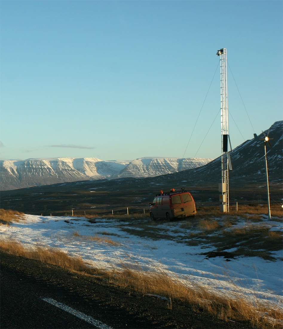
Icelandic Meteorological Office (IMO; is, Veðurstofa Íslands) is Iceland's national weather service and as such a government agency under the Ministry of Environment and Natural Resources. It is also active in volcano monitoring, esp. volcano seismology, and, together with other institutions, responsible for civil protection in IcelandMission. About the Icelandic Meteorological Office. (28.5.2010) Retrieved 18 August 2020. Aims and functions "The research focus of IMO is on and ,[...More Info...] [...Related Items...] OR: [Wikipedia] [Google] [Baidu] |
Subarctic Climate
The subarctic climate (also called subpolar climate, or boreal climate) is a climate with long, cold (often very cold) winters, and short, warm to cool summers. It is found on large landmasses, often away from the moderating effects of an ocean, generally at latitudes from 50° to 70°N, poleward of the humid continental climates. Subarctic or boreal climates are the source regions for the cold air that affects temperate latitudes to the south in winter. These climates represent Köppen climate classification ''Dfc'', ''Dwc'', ''Dsc'', ''Dfd'', ''Dwd'' and ''Dsd''. Description This type of climate offers some of the most extreme seasonal temperature variations found on the planet: in winter, temperatures can drop to below and in summer, the temperature may exceed . However, the summers are short; no more than three months of the year (but at least one month) must have a 24-hour average temperature of at least to fall into this category of climate, and the coldest month should ave ... [...More Info...] [...Related Items...] OR: [Wikipedia] [Google] [Baidu] |
Köppen Climate Classification
The Köppen climate classification is one of the most widely used climate classification systems. It was first published by German-Russian climatologist Wladimir Köppen (1846–1940) in 1884, with several later modifications by Köppen, notably in 1918 and 1936. Later, the climatologist Rudolf Geiger (1894–1981) introduced some changes to the classification system, which is thus sometimes called the Köppen–Geiger climate classification system. The Köppen climate classification divides climates into five main climate groups, with each group being divided based on seasonal precipitation and temperature patterns. The five main groups are ''A'' (tropical), ''B'' (arid), ''C'' (temperate), ''D'' (continental), and ''E'' (polar). Each group and subgroup is represented by a letter. All climates are assigned a main group (the first letter). All climates except for those in the ''E'' group are assigned a seasonal precipitation subgroup (the second letter). For example, ''Af'' indi ... [...More Info...] [...Related Items...] OR: [Wikipedia] [Google] [Baidu] |
Tundra Climate
The tundra climate is a polar climate sub-type located in high latitudes and high mountains. undra climate https://www.britannica.com/science/tundra-climateThe Editors of Encyclopaedia Britannica, 2019 It is classified as ET according to Köppen climate classification. It is a climate which at least one month has an average temperature high enough to melt snow (), but no month with an average temperature in excess of . Despite the potential diversity of climates in the ''ET'' category involving precipitation, extreme temperatures, and relative wet and dry seasons, this category is rarely subdivided. Rainfall and snowfall are generally slight due to the low vapor pressure of water in the chilly atmosphere, but as a rule potential evapotranspiration is extremely low, allowing soggy terrain of swamps and bogs even in places that get precipitation typical of deserts of lower and middle latitudes. The amount of native tundra biomass depends more on the local temperature than the amoun ... [...More Info...] [...Related Items...] OR: [Wikipedia] [Google] [Baidu] |
Diatomite
Diatomaceous earth (), diatomite (), or kieselgur/kieselguhr is a naturally occurring, soft, siliceous sedimentary rock that can be crumbled into a fine white to off-white powder. It has a particle size ranging from more than 3 μm to less than 1 mm, but typically 10 to 200 μm. Depending on the granularity, this powder can have an abrasive feel, similar to pumice powder, and has a low density as a result of its high porosity. The typical chemical composition of oven-dried diatomaceous earth is 80–90% silica, with 2–4% alumina (attributed mostly to clay minerals), and 0.5–2% iron oxide. Diatomaceous earth consists of the fossilized remains of diatoms, a type of hard-shelled microalgae. It is used as a filtration aid, mild abrasive in products including metal polishes and toothpaste, mechanical insecticide, absorbent for liquids, matting agent for coatings, reinforcing filler in plastics and rubber, anti-block in plastic films, porous support for chemic ... [...More Info...] [...Related Items...] OR: [Wikipedia] [Google] [Baidu] |
Dimmuborgir
Dimmuborgir (''dimmu'' "dark", ''borgir'' "cities" or "forts", "castles"; pronounced ) is a large area of unusually shaped lava fields east of Mývatn in Iceland. The Dimmuborgir area is composed of various volcanic caves and rock formations, reminiscent of an ancient collapsed citadel (hence the name). The dramatic structures are one of Iceland's most popular natural tourist attractions. Formation The Dimmuborgir area consists of a massive, collapsed lava tube formed by a lava lake flowing in from a large Types of volcanic eruption, eruption in the Þrengslaborgir and Lúdentsborgir crater row to the East, about 2300 years ago. At Dimmuborgir, the lava pooled over a small lake. As the lava flowed across the wet sod, the water of the marsh started to boil, the vapour rising through the lava forming lava pillars from drainpipe size up to several meters in diameter. As the lava continued flowing towards lower ground in the Mývatn area, the top crust collapsed, but the hollow pilla ... [...More Info...] [...Related Items...] OR: [Wikipedia] [Google] [Baidu] |


