|
Royal York (TTC)
Royal York is a subway station on Line 2 Bloor–Danforth of the Toronto subway in Toronto, Ontario, Canada. It is located just north of Bloor Street, Bloor Street West on the east side of Royal York Road. Wi-Fi service is available at this station. History The station was opened in 1968 in what was then the Borough of Etobicoke. The original plan for the Bloor-Danforth extension to Islington had different stations than what was eventually built. The stations were to be at "Montgomery" and "Prince Edward", instead of Islington and Royal York. This was probably because these two streets were the ends of the Kingsway shopping district. However, it was decided to include only one station in the Kingsway, at Royal York. Until 1973 the buses and the subway trains serving the station were in Toronto Transit Commission fares#History of zone fares, separate fare zones and so the turnstiles and collector booths were on the mezzanine level between the bus bays and the subway platforms. Whe ... [...More Info...] [...Related Items...] OR: [Wikipedia] [Google] [Baidu] |
Toronto
Toronto ( ; or ) is the capital city of the Canadian province of Ontario. With a recorded population of 2,794,356 in 2021, it is the most populous city in Canada and the fourth most populous city in North America. The city is the anchor of the Golden Horseshoe, an urban agglomeration of 9,765,188 people (as of 2021) surrounding the western end of Lake Ontario, while the Greater Toronto Area proper had a 2021 population of 6,712,341. Toronto is an international centre of business, finance, arts, sports and culture, and is recognized as one of the most multicultural and cosmopolitan cities in the world. Indigenous peoples have travelled through and inhabited the Toronto area, located on a broad sloping plateau interspersed with rivers, deep ravines, and urban forest, for more than 10,000 years. After the broadly disputed Toronto Purchase, when the Mississauga surrendered the area to the British Crown, the British established the town of York in 1793 and later d ... [...More Info...] [...Related Items...] OR: [Wikipedia] [Google] [Baidu] |
Mimico Creek
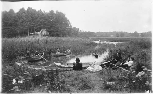
Mimico Creek is a stream that flows through Brampton, Mississauga and Toronto in the Greater Toronto Area of Ontario, Canada. It is long, is in the Great Lakes Basin, and is a tributary of Lake Ontario. The creek's name is derived from the community of Mimico, which is from the Ojibwe word ''omiimiikaa'' meaning "abundant with wild pigeons" (c.f. 19th century Mississaugas ''omiimii'', "pigeon"). Previous names included River Mimicoke and Mimicoke Creek. Course The watershed of lies between the Humber River to the east and Etobicoke Creek to the west. The creek begins in Brampton, and flows through the community of Malton (now part of Mississauga); it continues southeast, past Toronto Pearson International Airport; and through a shallow valley surrounded by the urban neighbourhoods of Islington and Mimico. The creek is often encased in a concrete spillway to contain the fast flowing water that occurs during rainstorms. Mimico Creek crosses Bloor Street near the Islington ... [...More Info...] [...Related Items...] OR: [Wikipedia] [Google] [Baidu] |
Railway Stations In Canada Opened In 1968
Rail transport (also known as train transport) is a means of transport that transfers passengers and goods on wheeled vehicles running on rails, which are incorporated in tracks. In contrast to road transport, where the vehicles run on a prepared flat surface, rail vehicles (rolling stock) are directionally guided by the tracks on which they run. Tracks usually consist of steel rails, installed on sleepers (ties) set in ballast, on which the rolling stock, usually fitted with metal wheels, moves. Other variations are also possible, such as "slab track", in which the rails are fastened to a concrete foundation resting on a prepared subsurface. Rolling stock in a rail transport system generally encounters lower frictional resistance than rubber-tyred road vehicles, so passenger and freight cars (carriages and wagons) can be coupled into longer trains. The operation is carried out by a railway company, providing transport between train stations or freight customer facilit ... [...More Info...] [...Related Items...] OR: [Wikipedia] [Google] [Baidu] |
Line 2 Bloor–Danforth Stations
Line most often refers to: * Line (geometry), object with zero thickness and curvature that stretches to infinity * Telephone line, a single-user circuit on a telephone communication system Line, lines, The Line, or LINE may also refer to: Arts, entertainment, and media Films * ''Lines'' (film), a 2016 Greek film * ''The Line'' (2017 film) * ''The Line'' (2009 film) * ''The Line'', a 2009 independent film by Nancy Schwartzman Podcasts * ''The Line'' (podcast), 2021 by Dan Taberski Literature * Line (comics), a term to describe a subset of comic book series by a publisher * ''Line'' (play), by Israel Horovitz, 1967 * Line (poetry), the fundamental unit of poetic composition * "Lines" (poem), an 1837 poem by Emily Brontë * ''The Line'' (memoir), by Arch and Martin Flanagan * ''The Line'' (play), by Timberlake Wertenbaker, 2009 Music Albums * ''Lines'' (The Walker Brothers album), 1976 * ''Lines'' (Pandelis Karayorgis album), 1995 * ''Lines'' (Unthanks album), 20 ... [...More Info...] [...Related Items...] OR: [Wikipedia] [Google] [Baidu] |
Blue Night Network
The Blue Night Network is the overnight public transit service operated by the Toronto Transit Commission (TTC) in Toronto, Ontario, Canada. The network consists of a basic grid of 27 bus and 4 streetcar routes, distributed so that almost all of the city is within 2 km of at least one route. It is the largest and most frequent night network in North America. Overview Hours The times of Blue Night service vary according to individual scheduling situations on each route. Most regular service bus and streetcar routes cease operations at approximately 1:30 a.m. If there is a Blue Night route on the same street, its first trip will then follow at a suitable interval after the last regular run. On the subway system, the last trains on each line make a complete trip; the last trains running east, west, and north from Bloor–Yonge and St. George stations each leave at 1:50 a.m. or just after. Each station then closes as the last train departs. In the morning, regu ... [...More Info...] [...Related Items...] OR: [Wikipedia] [Google] [Baidu] |
The Queensway
The Queensway (or Queensway) is a major street in the municipalities of Toronto and Mississauga, Ontario, Canada. It is a western continuation of Queen Street, after it crosses Roncesvalles Avenue and King Street in Toronto. The Queensway is a divided roadway from Roncevalles westerly until 600 metres of the South Kingsway (accessed by ramps) with its centre median dedicated to streetcar service. The road continues undivided west from there to Etobicoke Creek as a four- or six-lane thoroughfare. After crossing the creek, it enters Mississauga under Peel Region jurisdiction as Peel Regional Road 20, as far west as Mavis Road, with the westernmost portion to Glengarry Road being maintained by the city. There is a road allowance with hydro lines, cutting into the Mississaugua Golf & Country Club on the shores of the Credit River. In the 1990s, the name Queensway was eliminated on the roads on this allowance west of the river. The street gives its name to Etobicoke's the Que ... [...More Info...] [...Related Items...] OR: [Wikipedia] [Google] [Baidu] |
Mimico GO Station
Mimico GO Station is a railway station in the GO Transit network located in the Etobicoke area of Toronto, Ontario, Canada. It is a stop on the Lakeshore West line train service, serving the Mimico neighbourhood. The small station building is situated north of the tracks on the east side of Royal York Road. The building is connected by a tunnel under the tracks and stairs to the platforms, which are therefore not wheelchair accessible. There is an additional bypass track which runs between the platforms and another two tracks on the south side, which access the Willowbrook Rail Maintenance Facility. This station and Long Branch GO Station, Long Branch are the only two stations on the Lakeshore West line which are not fully accessible. History It was the building of the first railway in Ontario in the 1850s between Hamilton and Toronto through what would become the Town of Mimico that led to the first plan for a town at this location. A Mimico Station was built on the north side ... [...More Info...] [...Related Items...] OR: [Wikipedia] [Google] [Baidu] |
Sherway Gardens
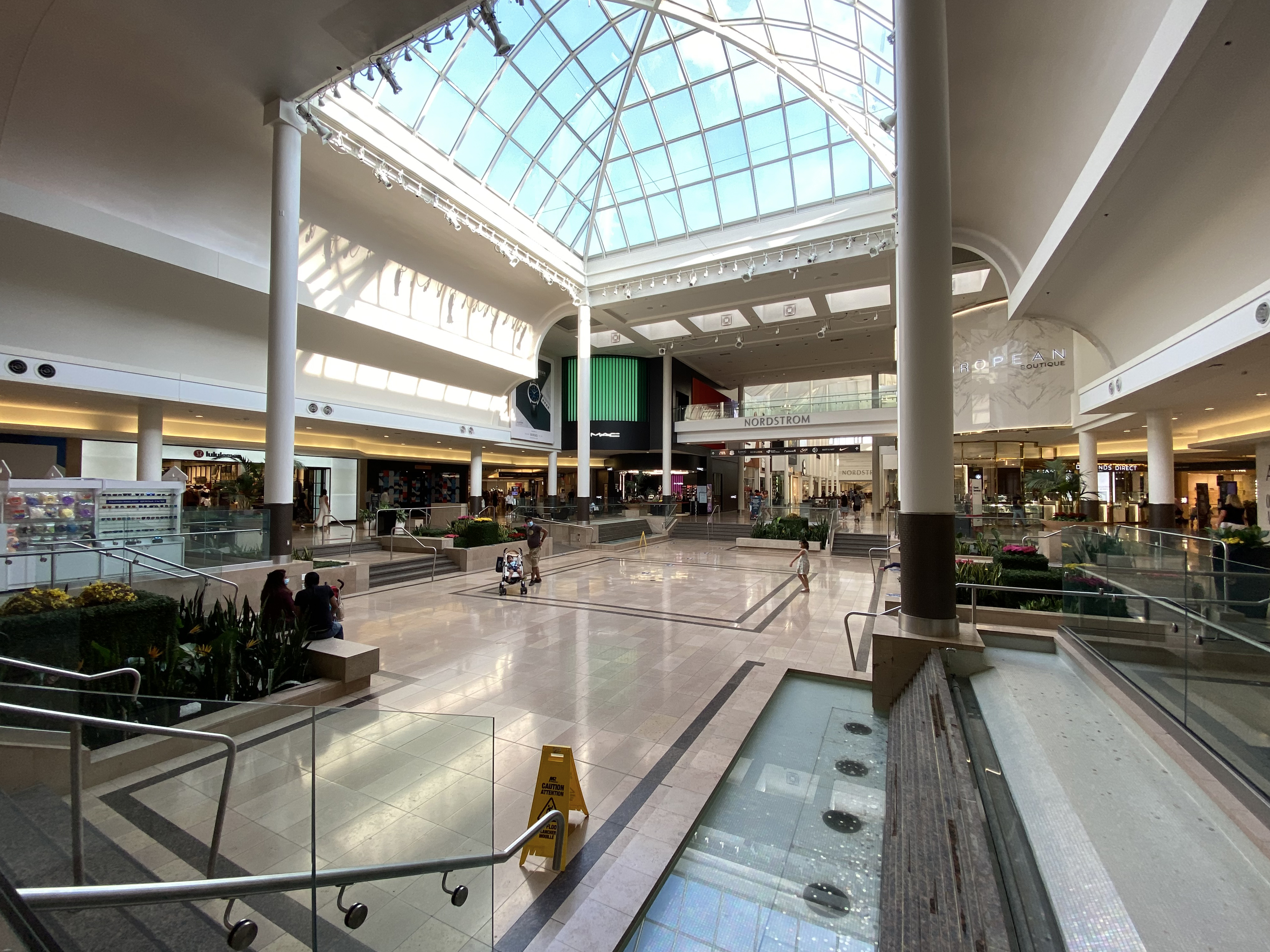
Sherway Gardens (corporately known as CF Sherway Gardens) is a large retail shopping mall in Toronto, Ontario, Canada. The mall is located west of Downtown Toronto, near the interchange of Highway 427 with the Queen Elizabeth Way and Gardiner Expressway. Opened in 1971, the mall originally covered in an S-shaped configuration and contained 127 stores. It was expanded in 1975, 1987, 1989, 2015, and 2017 to its current size of and 215 stores. It is the eighth largest mall in the Greater Toronto Area, and is the 18th largest mall in Canada. As the mall has grown, it has changed its mix of stores from a general mix of stores to add more fashion-conscious and luxury brand stores."Mall Wars: Yorkdale vs. Sherway: Inside the big-buc ... [...More Info...] [...Related Items...] OR: [Wikipedia] [Google] [Baidu] |
Wheel-Trans
Wheel-Trans is a paratransit system in Toronto, Ontario, Canada, provided by the Toronto Transit Commission (TTC). It provides specialized door-to-door accessible transit services for persons with physical disabilities using its fleet of accessible minibuses or contracted accessible taxis. Users must register with the TTC who will typically grant access to those with permanent disabilities or show difficulty in traveling short distances. Wheel-Trans only provides service within the city of Toronto and accepts regular TTC fare. History Wheel-Trans was born out of an initiative by the Trans-Action Coalition, a group led by Beryl Potter lobbying for transit accessibility in Toronto. The paratransit system was officially created in 1975 as a two-year pilot project contracted to Wheelchair Mobile and operated on behalf of Metropolitan Toronto and the province of Ontario until 1976. Only individuals using wheelchairs were accepted as the original 46 users of the pilot project, and rod ... [...More Info...] [...Related Items...] OR: [Wikipedia] [Google] [Baidu] |
Eglinton Avenue
Eglinton Avenue is a major east–west arterial thoroughfare in Toronto and Mississauga in the Canadian province of Ontario. The street begins at Highway 407 (but does not interchange with the tollway) at the western limits of Mississauga, as a continuation of Lower Baseline in Milton. It traverses the midsection of both cities and ends at Kingston Road. Eglinton Avenue is the only street to cross all six former boroughs of Metropolitan Toronto. The Toronto section was surveyed in the 19th century as the Fourth Concession Road (with the first being Queen Street). It was historically known as Richview Sideroad in Etobicoke and Lower Baseline in Mississauga. It was also designated Highway 5A (and later Highway 109) in Scarborough. History There are two sources for the naming of Eglinton Avenue. Henry Scadding in an early history of the city wrote that it originated from Eglinton Castle in Scotland, itself named for the Earls of Eglinton. Several early settlers, impressed ... [...More Info...] [...Related Items...] OR: [Wikipedia] [Google] [Baidu] |
The Kingsway, Toronto
The Kingsway is a residential neighbourhood in Toronto, Ontario, Canada. It is bounded by Bloor Street to the south, Dundas Street to the north, the Mimico Creek to the west and the Humber River to the east. The neighbourhood was officially known as Kingsway Park, which later became replaced by its nickname, The Kingsway. For planning purposes, the neighbourhood is known by the City of Toronto as "Kingsway South" to differentiate it from a more recent extension of The Kingsway north of Dundas Street. "Kingsway South" is not used by residents, due to confusion with the South Kingsway, a street located east of the Humber River and extending south from Bloor Street. Along with The Bridle Path and Forest Hill, The Kingsway is one of the most affluent areas in Toronto with homes characterized by large stone mansions. Character The neighbourhood is predominantly residential with a mixed-use (commercial and residential) area along Bloor and Dundas Streets. The majority of the housin ... [...More Info...] [...Related Items...] OR: [Wikipedia] [Google] [Baidu] |
List Of TTC Bus Routes
This article lists all bus routes, along with their branches, on the Toronto Transit Commission bus system. The list is current . Route types The Toronto Transit Commission operates five types of bus routes: * Regular service routes have at least one branch or a section of overlapping branches that operates from 6 am (8 am on Sundays) to 1 am, 7 days per week. Some routes are part of the 10-Minute Network having one or more branches operating at a 10-minute frequency (or better) throughout the day and evening. Otherwise, service frequency varies by route and time of day. * Limited service routes do not serve all hours of the day, or not all days of the week, or not all seasons. The frequency of service varies by route. Regular service and limited service routes are collectively numbered between 7 and 189. * Blue Night Network routes (300-series) operate from 1 am to 6 am (8 am on Sundays), which are also the times that the Toronto subway system does not operate. Service frequen ... [...More Info...] [...Related Items...] OR: [Wikipedia] [Google] [Baidu] |


