|
Route 79 (Connecticut)
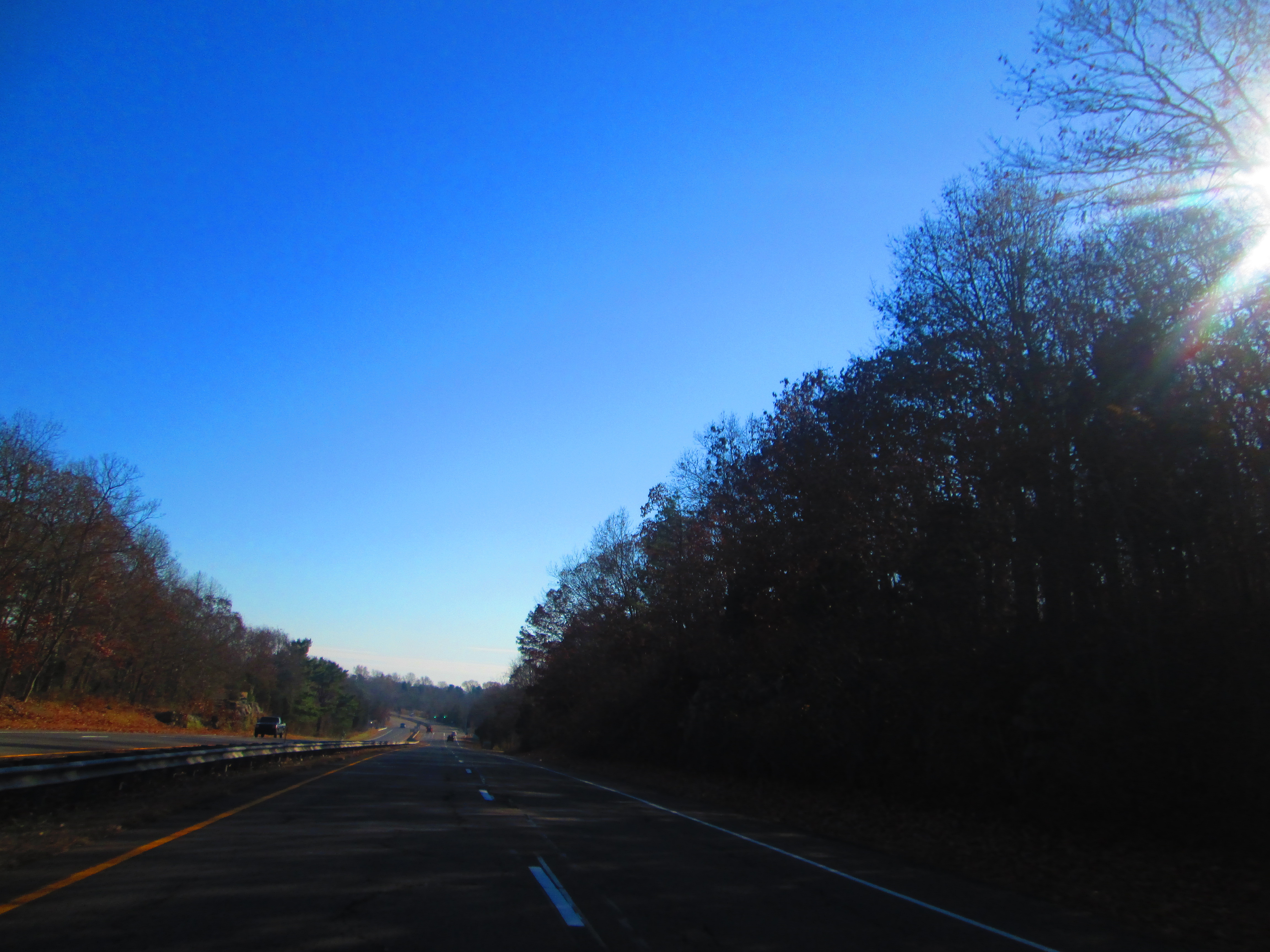
Route 79 is a state highway in southern Connecticut from Madison to Durham. Route description Route 79 begins at US 1 in Madison center and heads north across I-95 (at Exit 61). It continues north, intersecting with Horse Pond Road (an unsigned state road designated as Special Service Road 450), which leads to the town offices, and eventually, Hammonasset Beach State Park. Route 79 continues into the village of North Madison where it has an intersection with Route 80 at a roundabout. The road continues north into the town of Killingworth, intersecting Route 148 just south of the town line with Durham. The road runs north for another within Durham before ending at Route 17 south of the town center. Route 79 is known as Durham Road within Madison, Madison-Durham Road within Killingworth, and Madison Road within Durham. History In the 19th century, the road from Madison to Durham was known as the Durham and East Guilford Turnpike, a private toll-road established in 1811. When th ... [...More Info...] [...Related Items...] OR: [Wikipedia] [Google] [Baidu] |
Hartford Courant
The ''Hartford Courant'' is the largest daily newspaper in the U.S. state of Connecticut, and is considered to be the oldest continuously published newspaper in the United States. A morning newspaper serving most of the state north of New Haven and east of Waterbury, its headquarters on Broad Street in Hartford, Connecticut is a short walk from the state capitol. It reports regional news with a chain of bureaus in smaller cities and a series of local editions. It also operates ''CTNow'', a free local weekly newspaper and website. The ''Courant'' began as a weekly called the ''Connecticut Courant'' on October 29, 1764, becoming daily in 1837. In 1979, it was bought by the Times Mirror Company. In 2000, Times Mirror was acquired by the Tribune Company, which later combined the paper's management and facilities with those of a Tribune-owned Hartford television station. The ''Courant'' and other Tribune print properties were spun off to a new corporate parent, Tribune Publishing ... [...More Info...] [...Related Items...] OR: [Wikipedia] [Google] [Baidu] |
Killingworth, Connecticut
Killingworth is a New England town, town in Middlesex County, Connecticut, Middlesex County, Connecticut, United States. The population was 6,174 at the 2020 United States Census. History Killingworth was established from the area called Hammonasset, taken from the local Native Americans in the United States, Native American tribe of the same name. The area originally incorporated the area of the present town of Clinton, Connecticut, Clinton, which was separated from Killingworth along ecclesiastical borders in 1838.Killingworth Historical Society :File:Killingworth ct historical town sign1.jpg, Town of Killingworth Historical Sign, 1981 Part of New London County, Connecticut, New London County prior to May 1785, Killingworth was then included in the n ... [...More Info...] [...Related Items...] OR: [Wikipedia] [Google] [Baidu] |
State Highways In Connecticut
State may refer to: Arts, entertainment, and media Literature * ''State Magazine'', a monthly magazine published by the U.S. Department of State * ''The State'' (newspaper), a daily newspaper in Columbia, South Carolina, United States * ''Our State'', a monthly magazine published in North Carolina and formerly called ''The State'' * The State (Larry Niven), a fictional future government in three novels by Larry Niven Music Groups and labels * States Records, an American record label * The State (band), Australian band previously known as the Cutters Albums * ''State'' (album), a 2013 album by Todd Rundgren * ''States'' (album), a 2013 album by the Paper Kites * ''States'', a 1991 album by Klinik * ''The State'' (album), a 1999 album by Nickelback Television * ''The State'' (American TV series), 1993 * ''The State'' (British TV series), 2017 Other * The State (comedy troupe), an American comedy troupe Law and politics * State (polity), a centralized political organizatio ... [...More Info...] [...Related Items...] OR: [Wikipedia] [Google] [Baidu] |
Chester Center, Connecticut
Chester Center is a census-designated place (CDP) comprising the primary village in the town of Chester, Middlesex County, Connecticut, United States. It is in the southeast corner of the town, bordered to the south by the town of Deep River and to the southwest largely by the Connecticut Route 9 Route 9 is a , four-lane freeway beginning in Old Saybrook and ending at I-84 near the Farmington–West Hartford town line. It connects the Eastern Coastline of the state along with the Lower Connecticut River Valley to Hartford and the ... freeway. As of the 2020 census, Chester Center had a population of 1,720, out of 3,749 in the entire town of Chester. References Census-designated places in Middlesex County, Connecticut Census-designated places in Connecticut {{Connecticut-geo-stub ... [...More Info...] [...Related Items...] OR: [Wikipedia] [Google] [Baidu] |
Rotary Intersection
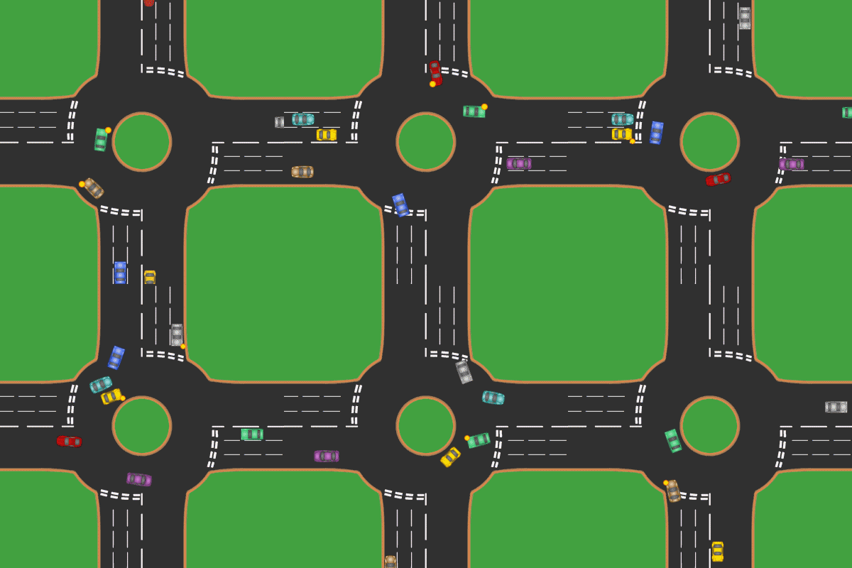
A roundabout is a type of circular intersection or junction in which road traffic is permitted to flow in one direction around a central island, and priority is typically given to traffic already in the junction.''The New Shorter Oxford English Dictionary,'' Volume 2, Clarendon Press, Oxford (1993), page 2632 Engineers use the term modern roundabout to refer to junctions installed after 1960 that incorporate various design rules to increase safety. Both modern and non-modern roundabouts, however, may bear street names or be identified colloquially by local names such as rotary or traffic circle. Compared to stop signs, traffic signals, and earlier forms of roundabouts, modern roundabouts reduce the likelihood and severity of collisions greatly by reducing traffic speeds and minimizing T-bone and head-on collisions. Variations on the basic concept include integration with tram or train lines, two-way flow, higher speeds and many others. For pedestrians, traffic exiting the ... [...More Info...] [...Related Items...] OR: [Wikipedia] [Google] [Baidu] |
Hammonasset Connector
The Hammonasset Connector is a short freeway from Interstate 95 (I-95, Connecticut Turnpike) to US Route 1 (US 1). The Hammonasset Connector begins as a continuation of Duck Hole Road at exit 62 on I-95 in the town of Madison. The connector is designated as part of Special Service Road 450 (SSR 450), a designation which continues along Duck Hole Road and Horse Pond Road to Route 79. The road gets its name from Hammonasset State Park, the park at the southern terminus of the freeway. Route description The connector starts as a continuation of Duck Hole Road at an interchange with I-95 in Madison. The road crosses over I-95 about from when it begins. The connector parallels the Hammonasset River for its entire length. The connector terminates at an intersection with U.S. Route 1 in Madison, and the road continues into Hammonasset State Park beyond US 1 as a local road. History The Hammonasset Connector was built in 1957, serving as a freeway from I-95 to the ... [...More Info...] [...Related Items...] OR: [Wikipedia] [Google] [Baidu] |
Guilford Historic Town Center
Guilford Historic Town Center is a large historic district encompassing the entire town center of Guilford, Connecticut, in the United States. It is centered on the town green, laid out in 1639, and extends north to Interstate 95, south to Long Island Sound, west to the West River, and east to East Creek. It includes more than 600 historic structures, most built between the late 17th and early 20th centuries, reflecting the town's growth and history during that time. It was listed on the National Register of Historic Places in 1976. The town center has been listed as a census-designated place (CDP) since 2008. As of the 2010 census, the Guilford Center CDP had a population of 2,597, out of 22,375 in the entire town of Guilford. Description and history The town of Guilford was settled by Englishmen of the Connecticut Colony in 1639, after purchasing the land from Native Americans. The town green was laid out at that time, and the town developed an economy that was largely based ... [...More Info...] [...Related Items...] OR: [Wikipedia] [Google] [Baidu] |
1932 State Highway Renumbering (Connecticut)
In 1932, the Highway Department of the U.S. state of Connecticut (now known as the Connecticut Department of Transportation), decided to completely renumber all its state highways. The only exceptions were the U.S. Highways and some of the New England Interstate Routes. Between 1922 and 1932, Connecticut used a state highway numbering system shared with the other New England states. Major inter-state trunk routes used numbers in the 1-99 range, primary intrastate highways used numbers in the 100-299 range, and secondary state highways used numbers in the 300+ range. In 1926, at the behest of the American Association of State Highway Officials, four of the nine New England Interstate Routes that passed through Connecticut became U.S. Routes. At this time, the adjacent states of Massachusetts and Rhode Island abandoned the New England highway numbering system but Connecticut still used it for several more years. This led to a situation where U.S. Routes were co-signed with New Englan ... [...More Info...] [...Related Items...] OR: [Wikipedia] [Google] [Baidu] |
Route 17 (Connecticut)
Route 17 is a primary north–south state route beginning in New Haven, through Middletown, and ending in Glastonbury, with a length of . Route description Route 17 officially begins about west of its interchange with Interstate 91 (at Exit 8). Route 80 begins at the interchange and continues eastward while Route 17 turns northward. Route 17 is a 4-lane principal arterial road, becoming 2 lanes as it passes through North Haven, Northford (where it briefly overlaps with Route 22), and Durham. In Middletown it becomes a 4-lane freeway for leading to an interchange with the Route 9 freeway. Route 17 duplexes with Route 9 for about on a surface road from Exit 13 to Exit 16, where Route 17 exits and shortly thereafter begins a concurrency with Route 66 as it crosses the Connecticut River from Middletown into Portland. on the Arrigoni Bridge. Just after the bridge, it spawns a alternate, Route 17A, which leads to the c ... [...More Info...] [...Related Items...] OR: [Wikipedia] [Google] [Baidu] |
Route 148 (Connecticut)
Route 148 is a state highway in southern and southeastern Connecticut running from Route 79 in Killingworth (near the Durham line) to Route 82 in the village of Hadlyme (in the town of Lyme). Route 148 crosses the Connecticut River using the Chester–Hadlyme Ferry. Route description Route 148 begins as Killingworth-Durham Road at an intersection with Route 79 in northwestern Killingworth and heads southeast for . It then turns east along Tooley Road then Chester Road as it heads towards the town of Chester. North of Killingworth center, it intersects with Route 81, about west of the Chester line. On entering Chester, the road becomes West Main Street, continuing eastward toward the town center. Along the way it has a junction with Route 145 (signed for the village of Winthrop) and with Route 9 (at Exit 6)before turning east northeast. In Chester Center, the road becomes Water Street, which continues to an intersection with Route 154 (for Deep River and Haddam). Afte ... [...More Info...] [...Related Items...] OR: [Wikipedia] [Google] [Baidu] |
Roundabout
A roundabout is a type of circular intersection or junction in which road traffic is permitted to flow in one direction around a central island, and priority is typically given to traffic already in the junction.''The New Shorter Oxford English Dictionary,'' Volume 2, Clarendon Press, Oxford (1993), page 2632 Engineers use the term modern roundabout to refer to junctions installed after 1960 that incorporate various design rules to increase safety. Both modern and non-modern roundabouts, however, may bear street names or be identified colloquially by local names such as rotary or traffic circle. Compared to stop signs, traffic signals, and earlier forms of roundabouts, modern roundabouts reduce the likelihood and severity of collisions greatly by reducing traffic speeds and minimizing T-bone and head-on collisions. Variations on the basic concept include integration with tram or train lines, two-way flow, higher speeds and many others. For pedestrians, traffic exiting th ... [...More Info...] [...Related Items...] OR: [Wikipedia] [Google] [Baidu] |
Madison, Connecticut
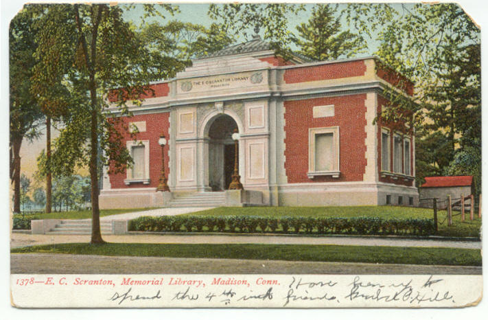
Madison is a town in the southeastern corner of New Haven County, Connecticut, United States, occupying a central location on Connecticut's Long Island Sound shoreline. The population was 17,691 at the 2020 census. Madison was first settled in 1641. Throughout the 18th century, Madison was known as East Guilford until it was incorporated as a town in 1826. The present name is after James Madison, 4th President of the United States. Beaches Hammonasset Beach State Park possesses the state's longest public beach, with campsites, picnic areas, and a fishing pier, and is extremely popular in the summer, causing traffic jams on I-95 on peak days. Surf Club Beach is the town's major public beach with lifeguards and recreational facilities for baseball, softball, basketball, volleyball, and horseshoes. It features playgrounds for children and picnic tables for families, as well as sailboat and kayak racks. It is also home to several athletic fields, including Strong Field, the town's m ... [...More Info...] [...Related Items...] OR: [Wikipedia] [Google] [Baidu] |


