|
Rose Bay Sea Wall
Rose Bay Sea Wall is a heritage-listed former Aboriginal land, farms and road reserve and now sea wall, road reserve and esplanade at New South Head Road, Rose Bay, New South Wales, Australia. It was designed by Herbert E. Ross and built from 1924 to 1926 by Woollahra Municipal Council. It is also known as Rose Bay Sea Wall, Promenade and its setting. It was added to the New South Wales State Heritage Register on 22 August 2014. History The traditional owners of the land from South Head to Petersham were the Cadigal people. Following European occupation of Woollahra the Cadigal band disappeared from the area by about the middle of the 19th century.Woollahra Library, 2015, 1 Rose Bay Rose Bay was called Ginagulla (Prof. FD McCarthy) -open sea - in fact in geological times there was indeed an opening to the sea from there, evident still near Bondi.Lawrence, Joan, pers.comm., 5 December 2019 New South Head Road New South Head Road was completed to the signal station at ... [...More Info...] [...Related Items...] OR: [Wikipedia] [Google] [Baidu] |
New South Head Road
New South Head Road, is a major road in the Eastern Suburbs of Sydney, linking the inner-eastern suburb of Rushcutters Bay to the southern reaches of the South Head peninsula. Route New South Head Road runs north-east from Rushcutters Bay through Edgecliff, Double Bay, Point Piper, Rose Bay and Vaucluse where it finally merges into Old South Head Road. History Maroo track Prior to the road's construction the main route to the southern headland was South Head Road, which led to the signal station following the route of modern-day Old South Head Road and Oxford Street. In 1831, construction began on New South Head Road. The road was to follow the route of the Aboriginal foot track ''Maroo'', which contoured between south head and Sydney. Before construction began on New South Head Road, only Aborigines, and men stationed at the South Head Lookout Post used the track. Initial completion For the first few years of construction progress was slow and only parts of the road beg ... [...More Info...] [...Related Items...] OR: [Wikipedia] [Google] [Baidu] |
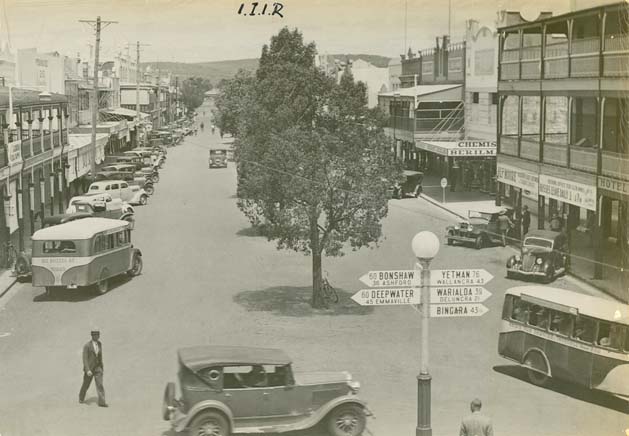
Inverell
Inverell is a large town in northern New South Wales, Australia, situated on the Macintyre River, close to the Queensland border. It is also the centre of Inverell Shire. Inverell is located on the Gwydir Highway on the western slopes of the Northern Tablelands. It has a temperate climate. In the , the population of Inverell was 12,057 and the Inverell Shire population was 17,853. History Prior to white settlement, the Gamilaraay Nation (commonly known as Kamilaroi) of Aboriginal peoples lived in and occupied this region. In 1848, Alexander Campbell held the Inverell Station on the Macintyre River. The name derives from the name of Mr. MacIntyre's estate. The word is of Gaelic origin, and signifies "meeting place of the swans"; from "Inver", a meeting place, and "Ell", a swan. The MacIntyre River and Swanbrook Creek join here. The area was also known as "Green Swamp" in the 1850s. Wheat growers, Colin and Rosanna Ross established a store there in 1853, when he asked that a ... [...More Info...] [...Related Items...] OR: [Wikipedia] [Google] [Baidu] |
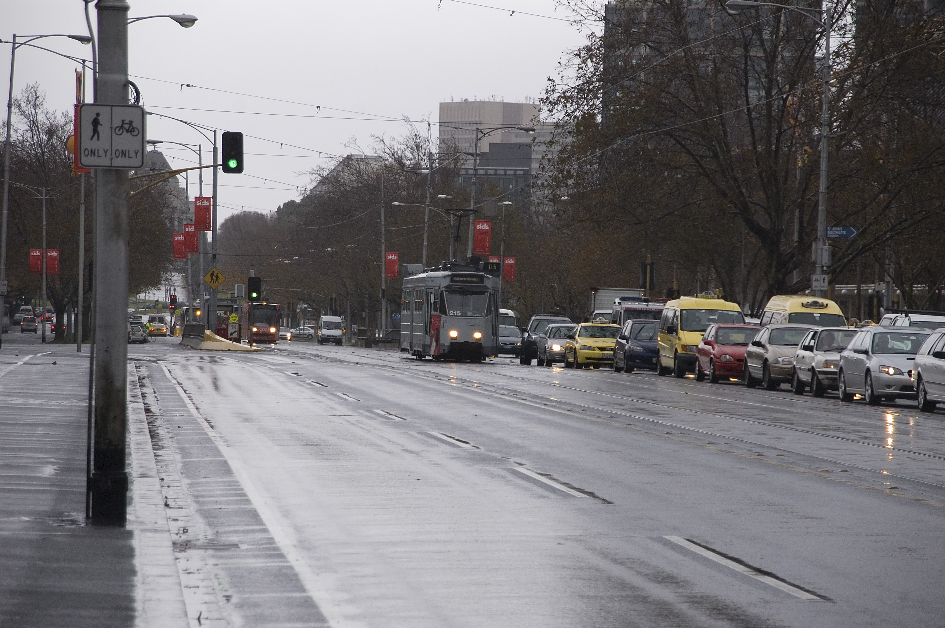
St Kilda Road
St Kilda Road is a street in Melbourne, Victoria, Australia. It is part of the locality of Melbourne which has the postcode of 3004, and along with Swanston Street forms a major spine of the city. St Kilda Road begins at Flinders Street, in the central business district and crosses Princes Bridge, which spans the Yarra River and connects the central business district of Melbourne with the suburb of St Kilda, ending at Carlisle Street, St Kilda. The road continues as Brighton Road, which becomes the Nepean Highway, forming a major arterial connecting the bayside suburbs and Mornington Peninsula to the city. The east side of the road to High Street, Prahran is in the municipality of the City of Melbourne while the west side of the road from Dorcas Street, and the east side south of High Street, is in the municipality of the City of Port Phillip. The road was the location of many institutions dotted along its length, and was famed for being lined with elegant mansions until t ... [...More Info...] [...Related Items...] OR: [Wikipedia] [Google] [Baidu] |
Rose Bay Seawall
A rose is either a woody perennial flowering plant of the genus ''Rosa'' (), in the family Rosaceae (), or the flower it bears. There are over three hundred species and tens of thousands of cultivars. They form a group of plants that can be erect shrubs, climbing, or trailing, with stems that are often armed with sharp prickles. Their flowers vary in size and shape and are usually large and showy, in colours ranging from white through yellows and reds. Most species are native to Asia, with smaller numbers native to Europe, North America, and northwestern Africa. Species, cultivars and hybrids are all widely grown for their beauty and often are fragrant. Roses have acquired cultural significance in many societies. Rose plants range in size from compact, miniature roses, to climbers that can reach seven meters in height. Different species hybridize easily, and this has been used in the development of the wide range of garden roses. Etymology The name ''rose'' comes from Lati ... [...More Info...] [...Related Items...] OR: [Wikipedia] [Google] [Baidu] |
Chief Secretary Of New South Wales
The Chief Secretary of New South Wales, known from 1821 to 1959 as the Colonial Secretary was a key political office in the colonial and state administration in New South Wales, from 1901 a state in the Commonwealth of Australia. Its role changed significantly from the time of its creation in 1821 to its final use in 1995, with various responsibilities changing hands. Nominally subordinate to the Governor of New South Wales from the early 19th century until the beginning of full self-government in 1856, he was effectively a government record-keeper and the officer with responsibility for the general administration of the colony. However, for most of its history the Chief Secretary was in charge of all matters relating to correspondence with government departments, naturalisation, the Great Seal, state security, censorship and classification laws, the arts (to 1975), Public Health (to 1934), Aboriginal welfare (to 1969), Lord Howe Island, and environmental protection and fisheries ... [...More Info...] [...Related Items...] OR: [Wikipedia] [Google] [Baidu] |
Great Depression In Australia
Australia suffered badly during the period of the Great Depression of the 1930s. The Depression began with the Wall Street Crash of 1929 and rapidly spread worldwide. As in other nations, Australia suffered years of high unemployment, poverty, low profits, deflation, plunging incomes, and lost opportunities for economic growth and personal advancement. The Australian economy and foreign policy largely rested upon its place as a primary producer within the British Empire, and Australia's important export industries, particularly primary products such as wool and wheat, suffered significantly from the collapse in international demand. Unemployment reached a record high of around 30% in 1932, and gross domestic product declined by 10% between 1929 and 1931. There were also incidents of civil unrest, particularly in Australia's largest city, Sydney. Though Australian Communist and far right movements were active in the Depression, they remained largely on the periphery of Austra ... [...More Info...] [...Related Items...] OR: [Wikipedia] [Google] [Baidu] |
Macquarie Street, Sydney
Macquarie Street is a street in the central business district of Sydney in New South Wales, Australia. Macquarie Street extends from Hyde Park at its southern end to the Sydney Opera House at its northern end. Apart from connecting these two major landmarks, the key government institutions of the state of New South Wales are all located on this street. History Macquarie Street is named after Lachlan Macquarie, an early Governor of New South Wales (in office 1810–1821). In the years since its founding in 1788, Sydney had developed organically, and by the early 1800s was lacking in major public buildings, and had a complex network of narrow streets. The supply of drinking water and waste management was also becoming an issue. Governor Macquarie initiated the construction of Sydney's first public buildings of any real permanence and set the boundaries of Sydney's grid of streets. With Circular Quay as the focus of this new civic scheme, Macquarie Street marked its eastern bou ... [...More Info...] [...Related Items...] OR: [Wikipedia] [Google] [Baidu] |
Castlereagh Street
Castlereagh Street is a major street located in the Sydney central business district in New South Wales, Australia. The street runs in a north-to-south, in a one way direction only. Description Castlereagh Street's northern terminus is at the junction of Hunter Street, with its southern terminus at the junction with Hay Street, near Belmore Park. The street is one-way southbound to motorised traffic, with a bicycle path running in both directions from Liverpool Street to Hay Street. At its northern end near Martin Place, the street is lined by many of Sydney's most expensive boutiques and jewellery stores, such as Chanel, Gucci, Cartier, Bvlgari, Dior, Prada, Van Cleef & Arpels, Ermenegildo Zegna, Omega and Mont Blanc. Etymology Previously Chapel Row and Camden Street, Castlereagh Street was named by Governor Macquarie in 1810 in honour of Viscount Castlereagh, the Secretary of State for the Colonies. At the time the street included what is now known as Loftus Street, nam ... [...More Info...] [...Related Items...] OR: [Wikipedia] [Google] [Baidu] |
Commonwealth Bank
The Commonwealth Bank of Australia (CBA), or CommBank, is an Australian multinational bank with businesses across New Zealand, Asia, the United States and the United Kingdom. It provides a variety of financial services including retail, business and institutional banking, funds management, superannuation, insurance, investment and broking services. The Commonwealth Bank is the largest Australian listed company on the Australian Securities Exchange as of August 2015 with brands including Bankwest, Colonial First State Investments, ASB Bank (New Zealand), Commonwealth Securities (CommSec) and Commonwealth Insurance (CommInsure). Its former constituent parts were the Commonwealth Trading Bank of Australia, the Commonwealth Savings Bank of Australia, and the Commonwealth Development Bank. Founded in 1911 by the Australian Government and fully privatised in 1996, the Commonwealth Bank is one of the " big four" Australian banks, with the National Australia Bank (NAB), ANZ and Wes ... [...More Info...] [...Related Items...] OR: [Wikipedia] [Google] [Baidu] |
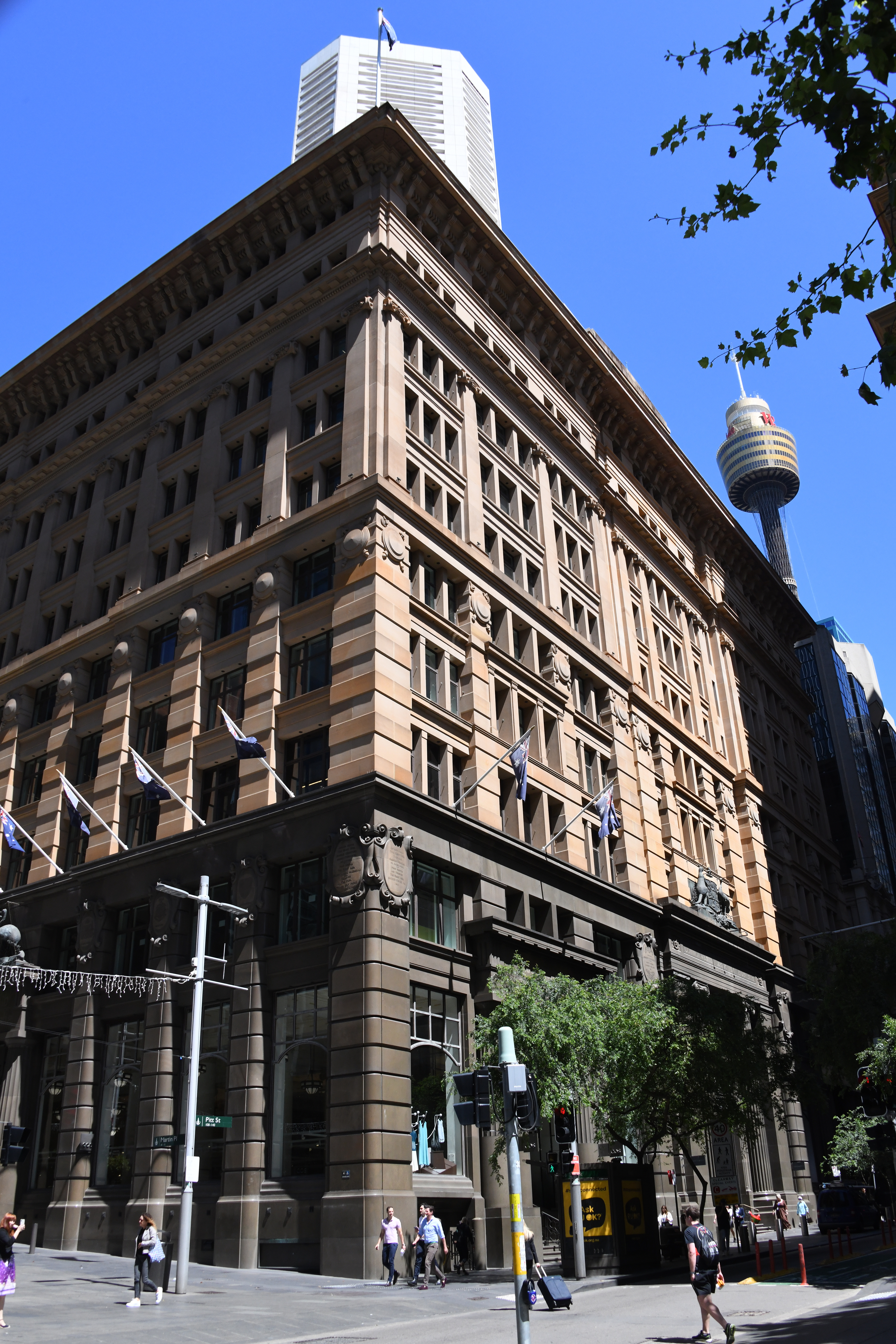
Martin Place
Martin Place is a pedestrian mall in the Sydney central business district, New South Wales, Australia. Martin Place has been described as the "civic heart" of Sydney.A city's heart builds on a sense of place '''' 1 October 2007 As home to the , the , |
John Sulman
Sir John Sulman (29 August 1849 – 18 August 1934) was an Australian architect. Born in Greenwich, England, he emigrated to Sydney in 1885. From 1921 to 1924 he was chairman of the Federal Capital Advisory Committee and influenced the development of Canberra. Early life Born in Greenwich, England, Sulman was educated at the Greenwich Proprietary School and in 1863 passed the Oxford junior examination. After his family moved to Croydon next year, he was articled to Thomas Allom, a London architect. He learned the use of oils and watercolour, and executed perspective drawings for Sir George Gilbert Scott. Following illness, Sulman resumed work in London in 1868. While articled to H. R. Newton, he attended classes at the Architectural Association and at the Royal Academy of Arts, winning the Pugin travelling scholarship in 1871. After travelling through England and Western Europe Sulman began practising as an architect in London and designed among other buildings a large number ... [...More Info...] [...Related Items...] OR: [Wikipedia] [Google] [Baidu] |
Queensland
) , nickname = Sunshine State , image_map = Queensland in Australia.svg , map_caption = Location of Queensland in Australia , subdivision_type = Country , subdivision_name = Australia , established_title = Before federation , established_date = Colony of Queensland , established_title2 = Separation from New South Wales , established_date2 = 6 June 1859 , established_title3 = Federation , established_date3 = 1 January 1901 , named_for = Queen Victoria , demonym = , capital = Brisbane , largest_city = capital , coordinates = , admin_center_type = Administration , admin_center = 77 local government areas , leader_title1 = Monarch , leader_name1 = Charles III , leader_title2 = Governor , leader_name2 = Jeannette Young , leader_title3 = Premier , leader_name3 = Annastacia Palaszczuk ( ALP) , legislature = Parliament of Queensland , judiciary = Supreme Court of Queensland , national_representation = Parliament of Australia , national_representation_type ... [...More Info...] [...Related Items...] OR: [Wikipedia] [Google] [Baidu] |


.jpg)


