|
Rochlitzer Berg
Rochlitzer Berg is a mountain of volcanic origin in Saxony, southeastern Germany. It is situated south-west of the town of Rochlitz on the river Zwickauer Mulde. Its elevation is variously given as 348.9 m NHN, 348 m HN or 353 m NN. The mountain is also known as ''Rochlitzer Collm''. Geology The so-called ''Rochlitzer Porphyr'', a rhyolitic tuff, which makes up a large part of the mountain, was formed from deposits of late explosive eruptions of a volcano about 250 million years ago. The colour of the rock is usually reddish to reddish-violet, occasionally also reddish brown to beige. Its texture is grainy and marked by many pore-like cavities (macro-pores). While the designation as "porphyry" has been passed down through history and is commonly used, it is petrographically incorrect. The tuff rock has been used since roughly a thousand years all over the region, also by Renaissance master builders Arnold von Westfalen and Hieronymus Lotter. The latter used it for the Ol ... [...More Info...] [...Related Items...] OR: [Wikipedia] [Google] [Baidu] |
Rochlitz Castle
Rochlitz Castle or Rochlitz Palace (german: Schloss Rochlitz) lies in the west of the town of Rochlitz in the county of Mittelsachsen in the Free State of Saxony. It was built on the site of an imperial castle, erected in the second half of the 10th century, which fell into the possession of the Wettin margraves in 1143. Its appearance, which includes several Romanesque wings, is considerably influenced by its remodelling into a margravial ''schloss'' in the fourth quarter of the 14th century. Further conversions and additions followed at the end of the 15th and in the 16th centuries, when the castle became a secondary ''residenz'', dower house and hunting lodge for the Wettin family. The castle or palace was the residence for members of the Saxon princely house eight times. From the 18th century the castle served as an administrative centre (justice department and district court); in 1852 it became a gaol, which necessitated considerable alteration. The museum founded in 1892 wa ... [...More Info...] [...Related Items...] OR: [Wikipedia] [Google] [Baidu] |
Hieronymus Lotter
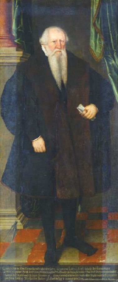
Hieronymus Lotter (* around 1497 in Nuremberg; † 22 July 1580 in Geyer / Ore Mountains) was a merchant and several times mayor of Leipzig, construction manager for important sovereign building projects in Saxony and the driving force behind extensive building measures by the municipal council in Leipzig. Lotter was the Master builder of Maurice, Elector of Saxony, under the direction of the principal toolmaster and master builder Caspar Vogt von Wierandt († 1560). According to earlier research, he was considered an important architect of the Renaissance; today its role is seen in a more differentiated way and above all its organizational function is emphasized. Life and work As mayor, he was probably one of the driving forces behind the conversion of the old town hall in Leipzig (1556–57) into one of the most important buildings of the German Renaissance, as well as other urban buildings, such as ''Alte Waage'' (Weigh house) (1555) in Leipzig and the town hall in Pegau (f ... [...More Info...] [...Related Items...] OR: [Wikipedia] [Google] [Baidu] |
Freiberg
Freiberg is a university and former mining town in Saxony, Germany. It is a so-called ''Große Kreisstadt'' (large county town) and the administrative centre of Mittelsachsen district. Its historic town centre has been placed under heritage conservation and is a part of the UNESCO World Heritage Site known as the Ore Mountain Mining Region, due to its exceptional testimony to the development of mining techniques across many centuries. Until 1969, the town was dominated for around 800 years by the mining and smelting industries. In recent decades it has restructured into a high technology site in the fields of semiconductor manufacture and solar technology, part of Silicon Saxony. It is home of the oldest university of mining and metallurgy in the world – the Freiberg University of Mining and Technology. Geography Location The town lies on the northern declivity of the Ore Mountains, with the majority of the borough west of the Eastern or Freiberger Mulde river. Parts ... [...More Info...] [...Related Items...] OR: [Wikipedia] [Google] [Baidu] |
Battle Of The Nations
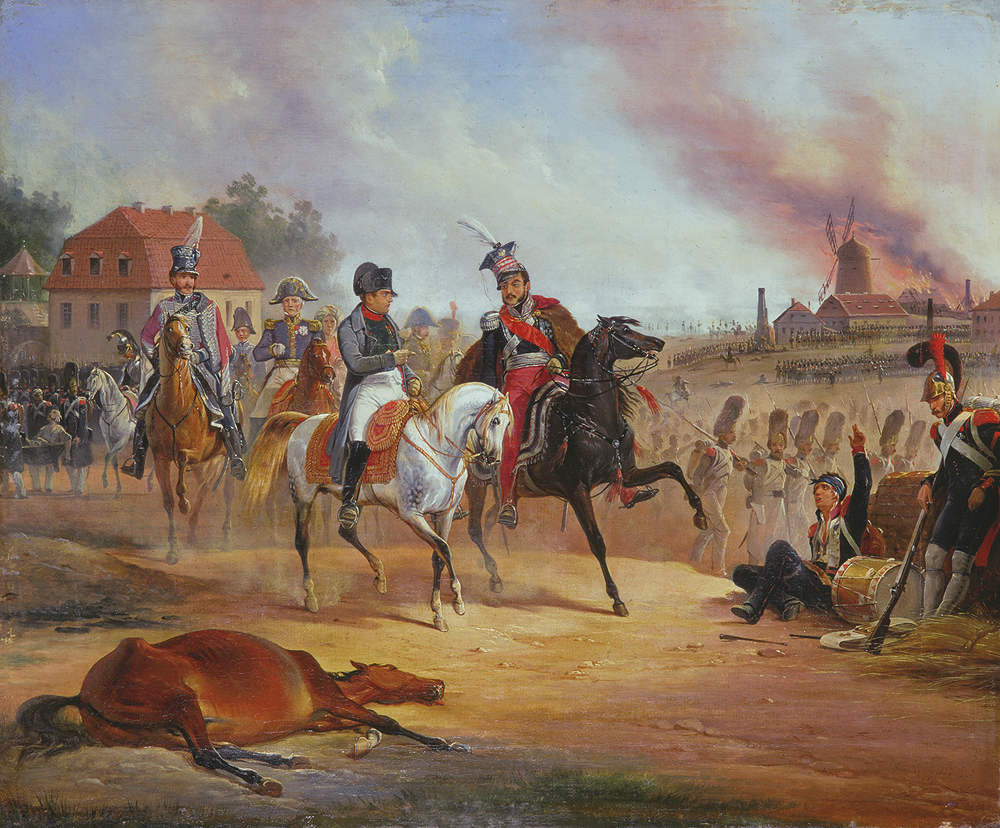
The Battle of Leipzig (french: Bataille de Leipsick; german: Völkerschlacht bei Leipzig, ); sv, Slaget vid Leipzig), also known as the Battle of the Nations (french: Bataille des Nations; russian: Битва народов, translit=Bitva narodov), was fought from 16 to 19 October 1813 at Leipzig, Saxony. The Coalition armies of Austria, Prussia, Sweden, and Russia, led by Tsar Alexander I and Karl von Schwarzenberg, decisively defeated the '' Grande Armée'' of French Emperor Napoleon Bonaparte. Napoleon's army also contained Polish and Italian troops, as well as Germans from the Confederation of the Rhine (mainly Saxony and Württemberg). The battle was the culmination of the German Campaign of 1813 and involved 560,000 soldiers, 2,200 artillery pieces, the expenditure of 400,000 rounds of artillery ammunition, and 133,000 casualties, making it the largest battle in Europe prior to World War I. Decisively defeated again, Napoleon was compelled to return to France whi ... [...More Info...] [...Related Items...] OR: [Wikipedia] [Google] [Baidu] |
Prussia
Prussia, , Old Prussian: ''Prūsa'' or ''Prūsija'' was a German state on the southeast coast of the Baltic Sea. It formed the German Empire under Prussian rule when it united the German states in 1871. It was ''de facto'' dissolved by an emergency decree transferring powers of the Prussian government to German Chancellor Franz von Papen in 1932 and ''de jure'' by an Allied decree in 1947. For centuries, the House of Hohenzollern ruled Prussia, expanding its size with the Prussian Army. Prussia, with its capital at Königsberg and then, when it became the Kingdom of Prussia in 1701, Berlin, decisively shaped the history of Germany. In 1871, Prussian Minister-President Otto von Bismarck united most German principalities into the German Empire under his leadership, although this was considered to be a "Lesser Germany" because Austria and Switzerland were not included. In November 1918, the monarchies were abolished and the nobility lost its political power during the Ger ... [...More Info...] [...Related Items...] OR: [Wikipedia] [Google] [Baidu] |
Frederick Augustus I Of Saxony
pl, Fryderyk August Józef Maria Antoni Jan Nepomucen Alojzy Ksawery , image = Frederick Augustus I of Saxony by Marcello Bacciarelli (ca 1808-1809).png , caption = Portrait by Marcello Bacciarelli (1809) , succession = King of Saxony , coronation = 20 December 1806 , reign = , successor = Anthony , regent = Maria Antonia of Bavaria , succession1 = Grand Duke of the Duchy of Warsaw , reign1 = 9 June 1807 – 22 May 1815 , succession2 = Elector of Saxony , reign2 = 17 December 1763 – , predecessor2 = Frederick Christian , spouse= Amalie of Zweibrücken-Birkenfeld , issue= Princess Maria Augusta of Saxony , house= Wettin , father=Frederick Christian, Elector of Saxony , mother= Princess Maria Antonia of Bavaria , birth_date = , birth_place = Dresden, Electorate of Saxony, Holy Roman Empire , death_date = , death_place = Dresden, Kingdom of Saxony, German Confederation , place of burial=Dresden Cathedral, Dresden , religion= Roman Catholicism , signat ... [...More Info...] [...Related Items...] OR: [Wikipedia] [Google] [Baidu] |
Fichtelberg
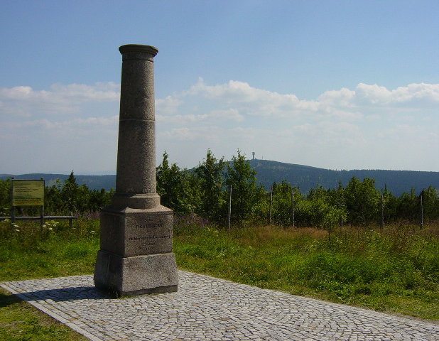
The Fichtelberg () is a mountain with two main peaks in the middle of the Ore Mountains in the east German state of Saxony, near the Czech border. At above sea level, the Fichtelberg is the highest mountain in Saxony, the second highest in the Ore Mountains and used to be the highest mountain in East Germany. Its subpeak is high. Location The Fichtelberg rises within the Central Ore Mountains in the Ore Mountains/Vogtland Nature Park around 1.5 kilometres north of the German-Czech border. At the southern foot of the mountain lies the highest town in Germany: the resort of Oberwiesenthal in the Pöhlbach valley. About 750 metres south-southwest is the less prominent subpeak of the Fichtelberg, known as the Kleiner Fichtelberg ("Little Fichtelberg") also called the ''Hinterer Fichtelberg'' ("Rear Fichtelberg"); 1,205.6 m). About 4 kilometres south-southeast is the highest peak in the Ore Mountains: the Klínovec (''Keilberg''; 1,244 m) on the Cz ... [...More Info...] [...Related Items...] OR: [Wikipedia] [Google] [Baidu] |
Heinz Sielmann
Heinz Sielmann (2 June 1917 – 6 October 2006) was a German wildlife photographer, biologist, zoologist and documentary filmmaker. Early life Heinz's father was physician Paul Sielmann. His first film, in 1938, was a silent movie on bird life in East Prussia and the Memelland. Further work was interrupted by World War II. He was initially stationed in occupied Poland in Poznań (then "Posen"), as an instructor at a radio-communications training unit of the Luftwaffe. Sielmann gained a degree in biology and specialized in zoology, in 1940, at the University of Posen, at that time a Germanized university. There he met Joseph Beuys, who was his trainee, and they both attended lectures in biology and zoology. Later he was stationed in Crete, where he worked in cinematographically. Following time as a prisoner of war of the British in Cairo and London he started editing the material from Crete in London for a three-part documentary. Career After the war he began widely recognized ... [...More Info...] [...Related Items...] OR: [Wikipedia] [Google] [Baidu] |
Geotope
A geotope is the geological component of the abiotic matrix present in an ecotope. Example geotopes might be an exposed outcrop of rocks, an erratic boulder, a grotto or ravine, a cave, an old stone wall marking a property boundary, and so forth. It is a loanword from German ''( Geotop)'' in the study of ecology and might be the model for many other similar words coined by analogy. As the prototype, it has enjoyed wider currency than many of the other words modelled on it, including physiotope, with which it is used synonymously. But the geotope is properly the rocks and not the whole lay of the land (which would be the physiotope). For usage in the context of geoheritage, like e.g. in Friedrich Wiedenbein's contributions (see below) and in the German discussion on geoheritage, the more adequate term (and translation from the German) is geosite. See also * Ecological land classification Ecological classification or ecological typology is the classification of land or water in ... [...More Info...] [...Related Items...] OR: [Wikipedia] [Google] [Baidu] |
Bad Frankenhausen
Bad Frankenhausen (officially: Bad Frankenhausen/Kyffhäuser) is a spa town in the German state of Thuringia. It is located at the southern slope of the Kyffhäuser mountain range, on an artificial arm of the Wipper river, a tributary of the Unstrut. Because of the nearby Kyffhäuser monument dedicated to Emperor Frederick Barbarossa, it is nicknamed '' Barbarossastadt''. The municipality includes the villages of Seehausen, Udersleben, (since 2007) Esperstedt and (since 2019) Ichstedt and Ringleben. History Frankenhausen was first attested as a Frankish settlement in the 9th century in deeds of the Abbey of Fulda. It received town privileges in 1282 and from 1340 on was part of the County of Schwarzburg. On 15 May 1525 it was the location of the Battle of Frankenhausen, one of the last great battles of the German Peasants' War, when the insurgent peasants under Thomas Müntzer were defeated by troops of the allied Duke George of Saxony, Landgrave Philip I of Hesse and Duke ... [...More Info...] [...Related Items...] OR: [Wikipedia] [Google] [Baidu] |

.jpg)


