|
River Kird
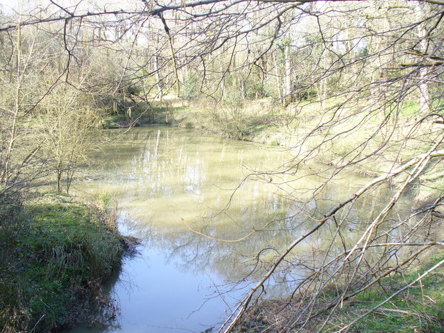
The River Kird is a river located in the Chichester District of West Sussex, England that is a tributary to the River Arun. It is located in South Downs National Park.Project to shed light on river’s health . South Downs National Park – ''southdowns.gov.uk''. Retrieved 9 November 2021. Course  Located entirely in the Chichester District of West Sussex, England, the river rises in the western Weald – an area of undulating countryside – north of Kirdford, and flows south-east until it reaches Kirdford, at which point it flows eastwards; in Wis ...
[...More Info...] [...Related Items...] OR: [Wikipedia] [Google] [Baidu] |
Kirdford
Kirdford is a village and civil parish in the Chichester District of West Sussex, England. Its nearest town is Petworth, located southwest of the village. The parish has an area of . In the 2001 census 912 people lived in 373 households, of whom 448 were economically active. At the 2011 census the population was 1,063. The village has an Anglican church dedicated to St John the Baptist plus an Evangelical non-denominational chapel "Kirdford chapel" and two pubs, ''The Foresters Arms'' and the ''Half Moon''. Other amenities include a shop and the village hall which was enlarged in 1977. In the Middle Ages iron production using ironstone and charcoal, and forest glass making were important industries. In the twentieth century apple growing was established through a cooperative venture, Kirdford Growers, based at the western end of the village. This has now ended and the warehouse site is being used for house building. In 2011, Kirdford Village Stores won 'Best Corner Shop' in t ... [...More Info...] [...Related Items...] OR: [Wikipedia] [Google] [Baidu] |
Ordnance Survey
, nativename_a = , nativename_r = , logo = Ordnance Survey 2015 Logo.svg , logo_width = 240px , logo_caption = , seal = , seal_width = , seal_caption = , picture = , picture_width = , picture_caption = , formed = , preceding1 = , dissolved = , superseding = , jurisdiction = Great BritainThe Ordnance Survey deals only with maps of Great Britain, and, to an extent, the Isle of Man, but not Northern Ireland, which has its own, separate government agency, the Ordnance Survey of Northern Ireland. , headquarters = Southampton, England, UK , region_code = GB , coordinates = , employees = 1,244 , budget = , minister1_name = , minister1_pfo = , chief1_name = Steve Blair , chief1_position = CEO , agency_type = , parent_agency = , child1_agency = , keydocument1 = , website = , footnotes = , map = , map_width = , map_caption = Ordnance Survey (OS) is the national mapping agency for Great Britain. The agency's name indicates its original military purpose (se ... [...More Info...] [...Related Items...] OR: [Wikipedia] [Google] [Baidu] |
Effluent
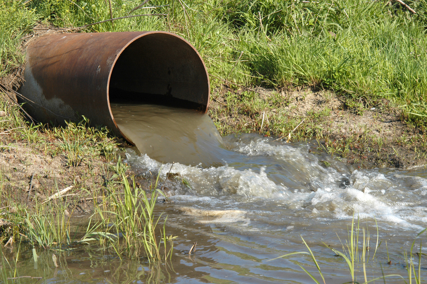
Effluent is wastewater from sewers or industrial outfalls that flows directly into surface waters either untreated or after being treated at a facility. The term has slightly different meanings in certain contexts, and may contain various pollutants depending on the source. Treating wastewater efficiently is challenging, but improved technology allows for enhanced removal of specific materials, increased re-use of water, and energy production from waste. Definition Effluent is defined by the United States Environmental Protection Agency (EPA) as "wastewater–treated or untreated–that flows out of a treatment plant, sewer, or industrial outfall. Generally refers to wastes discharged into surface waters". The ''Compact Oxford English Dictionary'' defines effluent as "liquid waste or sewage discharged into a river or the sea". Wastewater is not usually described as effluent while being recycled, re-used, or treated until it is released to surface water. Wastewater percolate ... [...More Info...] [...Related Items...] OR: [Wikipedia] [Google] [Baidu] |
The Argus (Brighton)
''The Argus'' is a local newspaper based in Brighton and Hove in East Sussex, England, with editions serving the city of Brighton and Hove and the other parts of both East Sussex and West Sussex. The paper covers local news, politics and sport, including the city's largest football club Brighton & Hove Albion FC. History Founded in 1880, and for many years known as the ''Evening Argus'', the newspaper is owned by Newsquest (since 1999, part of the US Gannett media group) which in 1996 bought ''The Argus'' and its sister Westminster Press titles from the provincial papers group's parent, the Pearson Group. ''The Argus'' reached a peak circulation of 100,000 in the early 1980s but, like most of its counterparts in the British regional press, has since experienced a considerable decline in sales. In the period December 2010 to June 2011, the paper had an average daily circulation of 24,949 but by the period January to June 2013, average daily sales had dropped to 16,622. For th ... [...More Info...] [...Related Items...] OR: [Wikipedia] [Google] [Baidu] |
Ammonia
Ammonia is an inorganic compound of nitrogen and hydrogen with the formula . A stable binary hydride, and the simplest pnictogen hydride, ammonia is a colourless gas with a distinct pungent smell. Biologically, it is a common nitrogenous waste, particularly among aquatic organisms, and it contributes significantly to the nutritional needs of terrestrial organisms by serving as a precursor to 45% of the world's food and fertilizers. Around 70% of ammonia is used to make fertilisers in various forms and composition, such as urea and Diammonium phosphate. Ammonia in pure form is also applied directly into the soil. Ammonia, either directly or indirectly, is also a building block for the synthesis of many pharmaceutical products and is used in many commercial cleaning products. It is mainly collected by downward displacement of both air and water. Although common in nature—both terrestrially and in the outer planets of the Solar System—and in wide use, ammonia is both caust ... [...More Info...] [...Related Items...] OR: [Wikipedia] [Google] [Baidu] |
South Downs National Park Authority
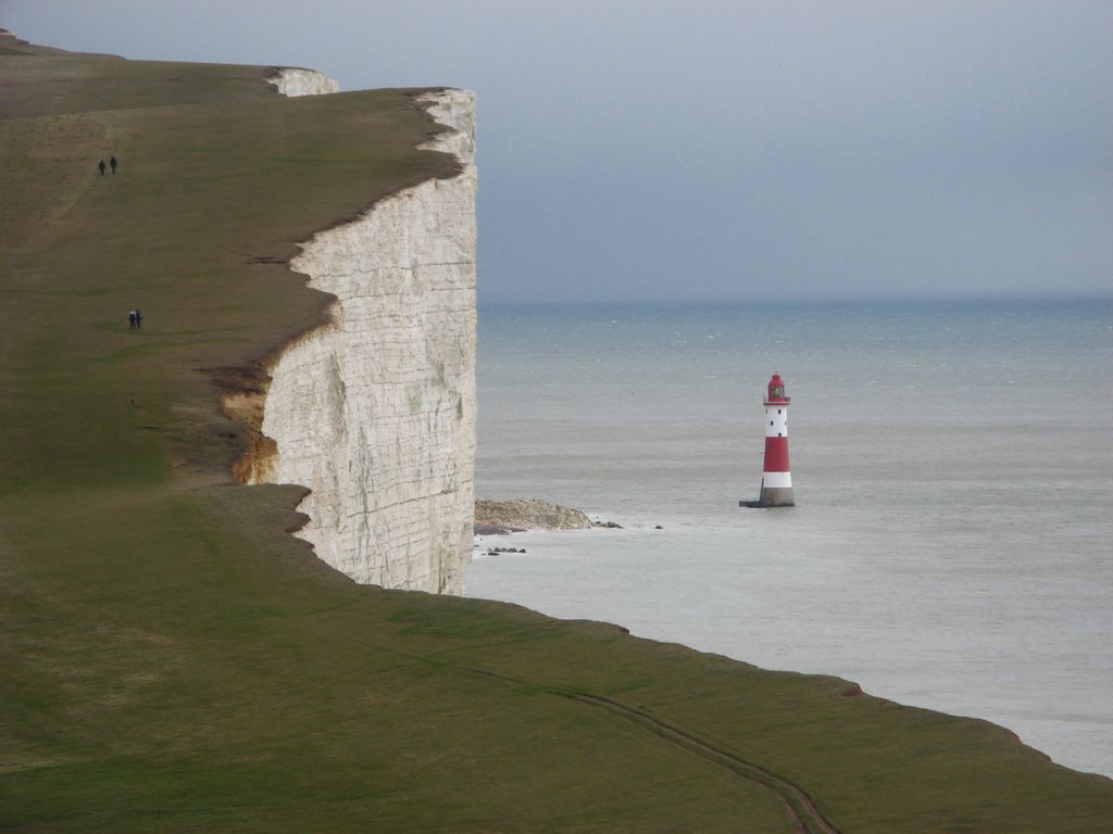
The South Downs National Park is England's newest national park, designated on 31 March 2010. The park, covering an area of in southern England, stretches for from Winchester in the west to Eastbourne in the east through the counties of Hampshire, West Sussex and East Sussex. The national park covers the chalk hills of the South Downs (which on the English Channel coast form the white cliffs of the Seven Sisters and Beachy Head) and a substantial part of a separate physiographic region, the western Weald, with its heavily wooded sandstone and clay hills and vales. The South Downs Way spans the entire length of the park and is the only National Trail that lies wholly within a national park. History The idea of a South Downs National Park originated in the 1920s, when public concern was mounting about increasing threats to the beautiful downland environment, particularly the impact of indiscriminate speculative housing development on the eastern Sussex Downs (Peacehaven was an ... [...More Info...] [...Related Items...] OR: [Wikipedia] [Google] [Baidu] |
Dragonfly
A dragonfly is a flying insect belonging to the infraorder Anisoptera below the order Odonata. About 3,000 extant species of true dragonfly are known. Most are tropical, with fewer species in temperate regions. Loss of wetland habitat threatens dragonfly populations around the world. Adult dragonflies are characterized by a pair of large, multifaceted compound eyes, two pairs of strong, transparent wings, sometimes with coloured patches, and an elongated body. Many dragonflies have brilliant iridescent or metallic colours produced by structural colouration, making them conspicuous in flight. An adult dragonfly's compound eyes have nearly 24,000 ommatidia each. Dragonflies can be mistaken for the closely related damselflies, which make up the other odonatan infraorder ( Zygoptera) and are similar in body plan though usually lighter in build; however, the wings of most dragonflies are held flat and away from the body, while damselflies hold their wings folded at rest, along or ... [...More Info...] [...Related Items...] OR: [Wikipedia] [Google] [Baidu] |
Damselfly
Damselflies are flying insects of the suborder Zygoptera in the order Odonata. They are similar to dragonflies, which constitute the other odonatan suborder, Anisoptera, but are smaller and have slimmer bodies. Most species fold the wings along the body when at rest, unlike dragonflies which hold the wings flat and away from the body. An ancient group, damselflies have existed since at least the Lower Permian, and are found on every continent except Antarctica. All damselflies are predatory insects; both nymphs and adults actively hunt and eat other insects. The nymphs are aquatic, with different species living in a variety of freshwater habitats including acidic bogs, ponds, lakes and rivers. The nymphs moult repeatedly, at the last moult climbing out of the water to undergo metamorphosis. The skin splits down the back, they emerge and inflate their wings and abdomen to gain their adult form. Their presence on a body of water indicates that it is relatively unpolluted, but the ... [...More Info...] [...Related Items...] OR: [Wikipedia] [Google] [Baidu] |
Royal Entomological Society
The Royal Entomological Society is devoted to the study of insects. Its aims are to disseminate information about insects and improving communication between entomologists. The society was founded in 1833 as the Entomological Society of London. It had many antecedents beginning as the Society of Entomologists of London. History The foundation of the society began with a meeting of "gentlemen and friends of entomological science", held on 3 May 1833 in the British Museum convened by Nicholas Aylward Vigors with the presidency of John George Children. Those present were the Reverend Frederick William Hope, Cardale Babington, William Yarrell, John Edward Gray, James Francis Stephens, Thomas Horsfield, George Thomas Rudd and George Robert Gray. Letters of Adrian Hardy Haworth, George Bennett and John Curtis were read where they expressed their regrets to be unable to attend the meeting. They decided that a society should be created for the promotion of the science of entomology ... [...More Info...] [...Related Items...] OR: [Wikipedia] [Google] [Baidu] |
Boxal Brook
The River Kird is a river located in the Chichester District of West Sussex, England that is a tributary to the River Arun. It is located in South Downs National Park.Project to shed light on river’s health . – ''southdowns.gov.uk''. Retrieved 9 November 2021. Course  Located entirely in the Chichester District of West Sussex, England, the river rises in the
|
River Arun
The River Arun () is a river in the English county of West Sussex. At long, it is the longest river entirely in Sussex and one of the longest starting in Sussex after the River Medway, River Wey and River Mole. From the series of small streams that form its source in the area of St Leonard's Forest in the Weald, the Arun flows westwards through Horsham to Nowhurst where it is joined by the North River. Turning to the south, it is joined by its main tributary, the western River Rother, and continues through a gap in the South Downs to Arundel to join the English Channel at Littlehampton. It is one of the faster flowing rivers in England, and is tidal as far inland as Pallingham Quay, upstream from the sea at Littlehampton. The Arun gives its name to the Arun local government district of West Sussex. The first major improvements to the river were made between the 1540s and the 1570s, when Arundel became a port, and navigation up to Pallingham was improved, but barges had di ... [...More Info...] [...Related Items...] OR: [Wikipedia] [Google] [Baidu] |
Western Weald
The western Weald is an area of undulating countryside in Hampshire and West Sussex containing a mixture of woodland and heathland areas. It lies to the south of the towns of Bordon, Haslemere and Rake and to the west of the town of Pulborough. It includes the towns of Liss and Petersfield on its western boundary and the towns of Midhurst and Petworth to the south. Natural features include Blackdown, the highest point in Sussex, and Woolmer Forest in Hampshire. The chalk escarpment of the South Downs forms a prominent boundary to the south and west. The western Weald forms part of the larger Weald. Geologically it consists of a mixture of sandstone and clay strata which have been exposed by the erosion of the Weald-Artois Anticline. The resulting soils include acid heathland and poorly draining clay soil which support deciduous, particularly oak, woodlands interspersed with small irregularly shaped fields, with many surviving medieval boundaries. The western Weald came to prom ... [...More Info...] [...Related Items...] OR: [Wikipedia] [Google] [Baidu] |


-3D-balls.png)


