|
River Figile
The Figile River (; ga, Abhainn Fhiodh Gaibhle) is a river in eastern Ireland. Name The earliest recorded name is ''Fidgable''/''Fid nGabli'', meaning "Gabul's Wood", recorded in the Book of Leinster and the Metrical Dindshenchas, both c. 1160. It is also mentioned in Buile Shuibhne ("Suibhne's Frenzy", 12th century) as ''Fiodh Gaibhle'', a site of refuge for the maddened Suibhne where he lived for a year, eating holly berries and acorns and drinking from ''uisci na Gabhla'' ("Gabul's waters"). The Anglicisation ''Fegowly'' first appears in the 17th century, becoming ''Feagile'' on Alex Taylor's 1783 map and ''Figile'' on the 1843 Ordnance Survey map. It was here that Fionn Mac Cumhaill is said to have been concealed by his mother Muirne from his family's enemies and brought up by her sisters deep in the woods after the killing of his father. Course The Figile River begins at the union of the Crabtree and Cushaling rivers, near the County Kildare-County Offaly border. It meet ... [...More Info...] [...Related Items...] OR: [Wikipedia] [Google] [Baidu] |
County Offaly
County Offaly (; ga, Contae Uíbh Fhailí) is a county in Ireland. It is part of the Eastern and Midland Region and the province of Leinster. It is named after the ancient Kingdom of Uí Failghe. It was formerly known as King's County, in honour of Philip II of Spain. Offaly County Council is the local authority for the county. The county population was 82,668 at the 2022 census. Central Statistics Office figures Geography and political subdivisions Offaly is the 18th largest of Ireland's 32 counties by area and the 24th largest in terms of population. It is the fifth largest of Leinster's 12 counties by size and the 10th largest by population.Physical geography [...More Info...] [...Related Items...] OR: [Wikipedia] [Google] [Baidu] |
Clonbulloge
Clonbullogue or Clonbolloge () is a village in County Offaly, Ireland. Location The village is located at the junction of the R401 and R442 regional roads. The ''Figile River'' runs through the village under the R442 near its confluence with the ''Philipstown River''. Between the village and Edenderry, 11 km to the north, lies the Bog of Allen. Clonbullogue is located near the point where three counties—Offaly, Laois and Kildare meet. The village is on an island of pasture land in the bog of Allen. The area is marked on the Cottonian map 1653 of Leix & Offaly as Clanbolg. In the 1659 Census, Robert Shallcross was listed as the titled person in the area. In 1679, Charles II granted this area to the Purefoy family and for a time the village was called Purefoy's Place. In 1798, the village was burned—the only part of Offaly to suffer this fate during the Rebellion. Two of the Wexford leaders, Colonel Anthony Perry and Father Mogue Kearns were captured here and were ... [...More Info...] [...Related Items...] OR: [Wikipedia] [Google] [Baidu] |
Rivers Of County Kildare
A river is a natural flowing watercourse, usually freshwater, flowing towards an ocean, sea, lake or another river. In some cases, a river flows into the ground and becomes dry at the end of its course without reaching another body of water. Small rivers can be referred to using names such as creek, brook, rivulet, and rill. There are no official definitions for the generic term river as applied to geographic features, although in some countries or communities a stream is defined by its size. Many names for small rivers are specific to geographic location; examples are "run" in some parts of the United States, "burn" in Scotland and northeast England, and "beck" in northern England. Sometimes a river is defined as being larger than a creek, but not always: the language is vague. Rivers are part of the water cycle. Water generally collects in a river from precipitation through a drainage basin from surface runoff and other sources such as groundwater recharge, springs, an ... [...More Info...] [...Related Items...] OR: [Wikipedia] [Google] [Baidu] |
Rivers Of Ireland
Shown here are all the major rivers and tributaries of Ireland with their lengths (in kilometres and miles). Starting with the Northern Ireland rivers, and going in a clockwise direction, the rivers (and tributaries) are listed in regard to their entry into the different seas: the Irish Sea, the Celtic Sea and the Atlantic Ocean. Also shown are two tables. ''Table 1'' shows the longest rivers in Ireland with their lengths (in kilometres and miles), the counties they flow through, and their catchment areas (in square kilometres). ''Table 2'' shows the largest rivers in Ireland (by mean flow) in cubic metres per second. The longest river in Ireland is the River Shannon, at . The river develops into three lakes along its course, Lough Allen, Lough Ree and Lough Derg. Of these, Lough Derg is the largest. The Shannon enters the Atlantic Ocean at the Shannon Estuary. Other major rivers include the River Liffey, River Lee, River Swilly, River Foyle, River Lagan, River Erne, River Bla ... [...More Info...] [...Related Items...] OR: [Wikipedia] [Google] [Baidu] |
Northern Pike
The northern pike (''Esox lucius'') is a species of carnivorous fish of the genus '' Esox'' (the pikes). They are typical of brackish and fresh waters of the Northern Hemisphere (''i.e.'' holarctic in distribution). They are known simply as a pike in Britain, Ireland, and most of Eastern Europe, Canada and the United States. Pike can grow to a relatively large size: the average length is about , with maximum recorded lengths of up to and published weights of . The IGFA currently recognizes a pike caught by Lothar Louis on Greffern Lake, Germany, on 16 October 1986, as the all-tackle world-record northern pike. Northern pike grow to larger sizes in Eurasia than in North America, and typically grow to larger sizes in coastal than inland regions of Eurasia. Etymology The northern pike gets its common name from its resemblance to the pole-weapon known as the pike (from the Middle English for 'pointed'). Various other unofficial trivial names are common pike, Lakes pike, great n ... [...More Info...] [...Related Items...] OR: [Wikipedia] [Google] [Baidu] |
Common Rudd
The common rudd (''Scardinius erythrophthalmus'') is a bentho-pelagic freshwater fish, widely spread in Europe and middle Asia, around the basins of the North, Baltic, Black, Caspian and Aral seas. Identification Morphologically, this species is very similar to the roach ('' Rutilus rutilus''), with which it can be easily confused. It can be identified by the yellow eye colour. The eye of the roach has a big red spot above the pupil, that can be more or less conspicuous. The rudd has an upturned mouth allowing it to feed easily at the top of the water. The placement of the dorsal fin is more to the rear which is even visible in very young fish. There are normally only one or two scales between the tip of the pelvic fins and the anal fins, while on the roach there are five. Also the skin of the rudd is yellowish green, while the roach is bluish on the flanks. Also the upturned mouth is visible even in young fish. Furthermore, the rudd's number of soft rays in the dorsal fin (8� ... [...More Info...] [...Related Items...] OR: [Wikipedia] [Google] [Baidu] |
Common Bream
The common bream, freshwater bream, bream, bronze bream, carp bream or sweaty bream (''Abramis brama''), is a European species of freshwater fish in the family Cyprinidae. It is now considered to be the only species in the genus ''Abramis''. Range and habitat The common bream's home range is Europe north of the Alps and Pyrenees, as well as the Balkans. They are found as far east as the Caspian Sea, the Black Sea, and the Aral Sea. The common bream lives in ponds, lakes, canals, and slow-flowing rivers. Description The bream is usually long, though some specimens of have been recorded; it usually weighs . Its maximum length is 90 cm (35.5 in),the recorded weight is around 9.1 kg (20 lb). The common bream has a laterally flattened and high-backed body and a slightly undershot mouth. It is a silvery grey colour, though older fish can be bronze-coloured, especially in clear waters. The fins are greyish to black, but never reddish. Similar-looking fish Th ... [...More Info...] [...Related Items...] OR: [Wikipedia] [Google] [Baidu] |
Brown Trout
The brown trout (''Salmo trutta'') is a European species of salmonid fish that has been widely introduced into suitable environments globally. It includes purely freshwater populations, referred to as the riverine ecotype, ''Salmo trutta'' morpha ''fario'', a lacustrine ecotype, ''S. trutta'' morpha ''lacustris'', also called the lake trout, and anadromous forms known as the sea trout, ''S. trutta'' morpha ''trutta''. The latter migrates to the oceans for much of its life and returns to fresh water only to spawn. Sea trout in Ireland and Britain have many regional names: sewin in Wales, finnock in Scotland, peal in the West Country, mort in North West England, and white trout in Ireland. The lacustrine morph of brown trout is most usually potamodromous, migrating from lakes into rivers or streams to spawn, although evidence indicates some stocks spawn on wind-swept shorelines of lakes. ''S. trutta'' morpha ''fario'' forms stream-resident populations, typically in alpine stre ... [...More Info...] [...Related Items...] OR: [Wikipedia] [Google] [Baidu] |
County Laois
County Laois ( ; gle, Contae Laoise) is a county in Ireland. It is part of the Eastern and Midland Region and in the province of Leinster. It was known as Queen's County from 1556 to 1922. The modern county takes its name from Loígis, a medieval kingdom. Historically, it has also been known as County Leix. Laois County Council is the local authority for the county. At the 2022 census, the population of the county was 91,657, an increase of 56% since the 2002 census. History Prehistoric The first people in Laois were bands of hunters and gatherers who passed through the county about 8,500 years ago. They hunted in the forests that covered Laois and fished in its rivers, gathering nuts and berries to supplement their diets. Next came Ireland's first farmers. These people of the Neolithic period (4000 to 2500 BC) cleared forests and planted crops. Their burial mounds remain in Clonaslee and Cuffsborough. Starting around 2500 BC, the people of the Bronze Age lived in Laois. Th ... [...More Info...] [...Related Items...] OR: [Wikipedia] [Google] [Baidu] |
Cushina River
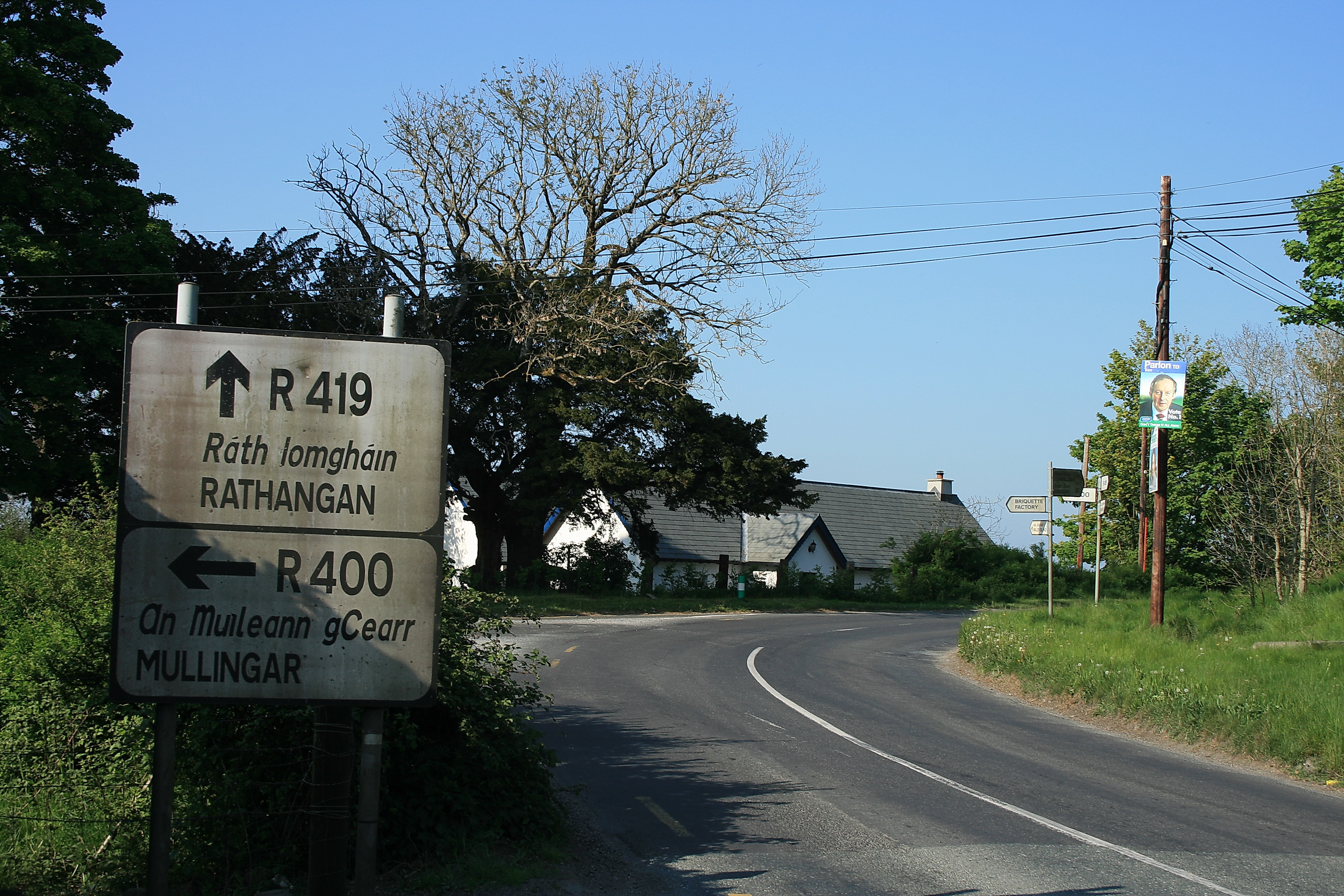
Cushina () is a townland in County Offaly on the Cushina River at the junction of the R400 and R419 regional roads. It is 4 km north of Portarlington. See also * List of townlands of County Offaly This is a sortable table of the approximately 1,194 townlands in County Offaly, Ireland. Retrieved: 2 ... References Townlands of County Offaly {{Offaly-geo-stub ...[...More Info...] [...Related Items...] OR: [Wikipedia] [Google] [Baidu] |
Bracknagh
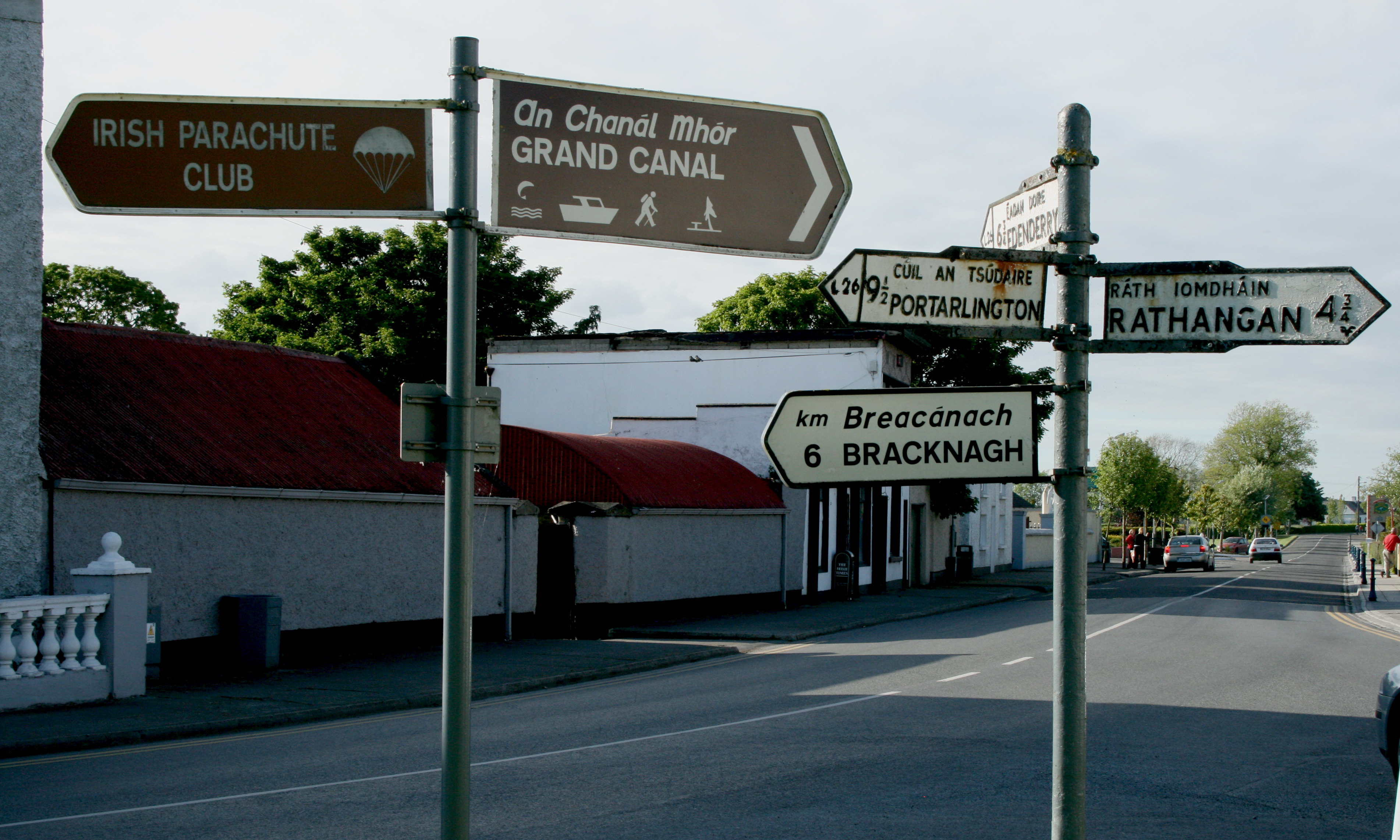
Bracknagh or Bracnagh () is a small village in County Offaly, Ireland. It is at the junction of the R442 and R419 regional roads, halfway between Portarlington and Rathangan (8 km from both). It is thought that the settlement began with a small cluster of homes built around the road junction. Expansion along connected roads included the addition of two housing developments called, "The Ring" and "The Green" by Offaly County Council and Bord na Mona. Due to the nearest postal sorting office being in Kildare, Bracknagh is listed as a Kildare address, though it is in County Offaly. Bracknagh is home to the Ballynowlart church, where the history reports that the congregation were burned alive in the 1600s. Bracknagh is home to St Broughan's Well, the water from which is reputed to be a cure for headaches. Bracknagh has a national school which in the early 2000s received a facelift which combined a new build and the older section of the school. Bracknagh GAA is the local ... [...More Info...] [...Related Items...] OR: [Wikipedia] [Google] [Baidu] |


