|
River Blackwater (River Loddon)
The River Blackwater is a tributary of the River Loddon, Loddon in England and sub-tributary of the River Thames, Thames. It rises at two springs in Rowhill Nature Reserve between Aldershot, Hampshire and Farnham, Surrey. It curves a course north then west to join the Loddon in Swallowfield civil parish, central Berkshire. Part of the river splits Hampshire from Surrey; a smaller part does so as to Hampshire and Berkshire. The source is locally rare heath within the Thames Basin Heaths Special Protection Area, due to the Farnborough/Aldershot Built-up Area. After the Blackwater is joined by the River Whitewater, Whitewater near Eversley. The river gives its name to the town of Blackwater, Hampshire, Blackwater, extending back from the bank facing Camberley, and the wider urban area including Aldershot, Farnborough, and Camberley is sometimes collectively referred to as the Blackwater Valley. Naming This article reverses the term found by Ordnance Survey mapmakers, old and con ... [...More Info...] [...Related Items...] OR: [Wikipedia] [Google] [Baidu] |
Eversley
Eversley is a village and civil parish in the Hart district of Hampshire, England. The village is located around northeast of Basingstoke and around west of Yateley. The River Blackwater, and the border with Berkshire, form the northern boundary of the parish. Character Eversley means "Wild Boar Clearing" and the boar is the symbol of the village, as shown on the village sign. The parish contains a number of hamlets: Eversley Village (sometimes called Eversley Street), Eversley Centre, Eversley Cross, Lower Common and Up Green. The historical parish also included Bramshill, a modern civil parish largely covered by plantation forest, but also including the early 17th century Bramshill House. Eversley Centre and Eversley Cross (to the north of Yateley) are contiguous and constitute the main part of the village, whilst Eversley 'village' lies around to the north on the A327 road towards Arborfield. There are a number of other large country houses in Eversley: Firgrove Manor ... [...More Info...] [...Related Items...] OR: [Wikipedia] [Google] [Baidu] |
River Thames
The River Thames ( ), known alternatively in parts as the The Isis, River Isis, is a river that flows through southern England including London. At , it is the longest river entirely in England and the Longest rivers of the United Kingdom, second-longest in the United Kingdom, after the River Severn. The river rises at Thames Head in Gloucestershire, and flows into the North Sea near Tilbury, Essex and Gravesend, Kent, via the Thames Estuary. From the west it flows through Oxford (where it is sometimes called the Isis), Reading, Berkshire, Reading, Henley-on-Thames and Windsor, Berkshire, Windsor. The Thames also drains the whole of Greater London. In August 2022, the source of the river moved five miles to beyond Somerford Keynes due to the heatwave in July 2022. The lower reaches of the river are called the Tideway, derived from its long tidal reach up to Teddington Lock. Its tidal section includes most of its London stretch and has a rise and fall of . From Oxford to th ... [...More Info...] [...Related Items...] OR: [Wikipedia] [Google] [Baidu] |
Boxing The Compass
The points of the compass are a set of horizontal, radially arrayed compass directions (or azimuths) used in navigation and cartography. A compass rose is primarily composed of four cardinal directions—north, east, south, and west—each separated by 90 degrees, and secondarily divided by four ordinal (intercardinal) directions—northeast, southeast, southwest, and northwest—each located halfway between two cardinal directions. Some disciplines such as meteorology and navigation further divide the compass with additional azimuths. Within European tradition, a fully defined compass has 32 'points' (and any finer subdivisions are described in fractions of points). Compass points are valuable in that they allow a user to refer to a specific azimuth in a colloquial fashion, without having to compute or remember degrees. Designations The names of the compass point directions follow these rules: 8-wind compass rose * The four cardinal directions are north (N), east (E) ... [...More Info...] [...Related Items...] OR: [Wikipedia] [Google] [Baidu] |
Estate (land)
An estate is a large parcel of land under single ownership, which would historically generate income for its owner. British context In the UK, historically an estate comprises the houses, outbuildings, supporting farmland, and woods that surround the gardens and grounds of a very large property, such as a country house, mansion, palace or castle. It is the modern term for a manor, but lacks a manor's now-abolished jurisdiction. The "estate" formed an economic system where the profits from its produce and rents (of housing or agricultural land) sustained the main household, formerly known as the manor house. Thus, "the estate" may refer to all other cottages and villages in the same ownership as the mansion itself, covering more than one former manor. Examples of such great estates are Woburn Abbey in Bedfordshire, England, and Blenheim Palace, in Oxfordshire, England, built to replace the former manor house of Woodstock. In a more urban context are the "Great Estates" in ... [...More Info...] [...Related Items...] OR: [Wikipedia] [Google] [Baidu] |
Otter
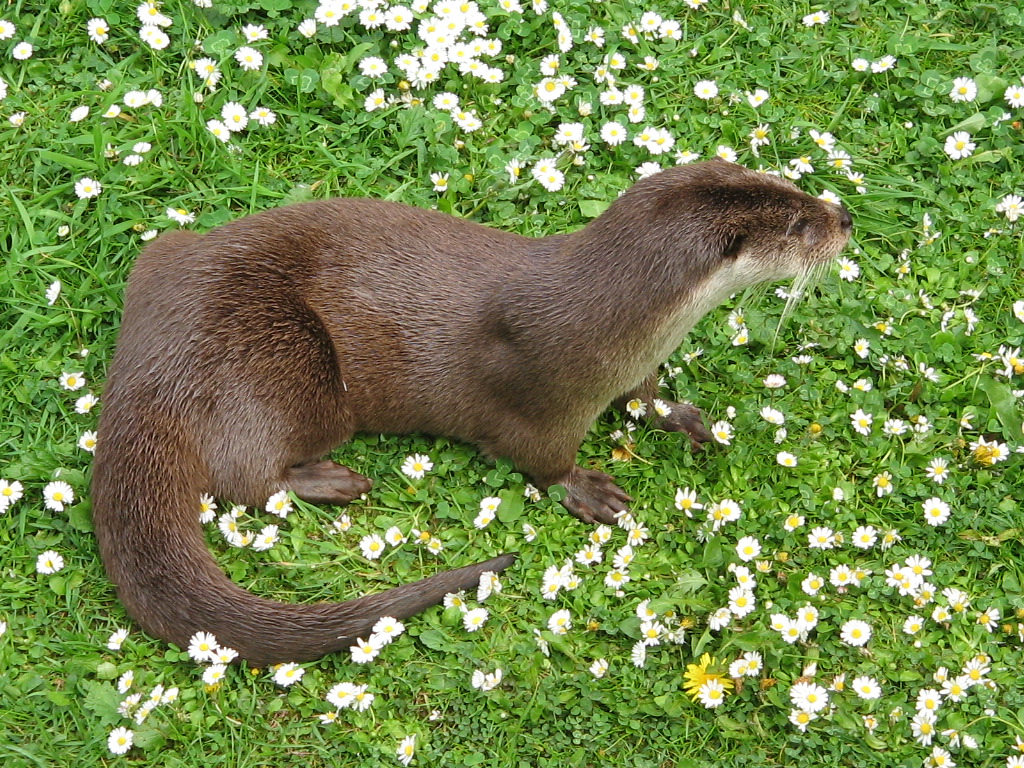
Otters are carnivorous mammals in the subfamily Lutrinae. The 13 extant otter species are all semiaquatic, aquatic, or marine, with diets based on fish and invertebrates. Lutrinae is a branch of the Mustelidae family, which also includes weasels, badgers, mink, and wolverines, among other animals. Etymology The word ''otter'' derives from the Old English word or . This, and cognate words in other Indo-European languages, ultimately stem from the Proto-Indo-European language root , which also gave rise to the English word "water". Terminology An otter's den is called a holt or couch. Male otters are called dogs or boars, females are called bitches or sows, and their offspring are called pups or cubs. The collective nouns for otters are bevy, family, lodge, romp (being descriptive of their often playful nature) or, when in water, raft. The feces of otters are typically identified by their distinctive aroma, the smell of which has been described as ranging from freshly ... [...More Info...] [...Related Items...] OR: [Wikipedia] [Google] [Baidu] |
Drainage Basin
A drainage basin is an area of land where all flowing surface water converges to a single point, such as a river mouth, or flows into another body of water, such as a lake or ocean. A basin is separated from adjacent basins by a perimeter, the '' drainage divide'', made up of a succession of elevated features, such as ridges and hills. A basin may consist of smaller basins that merge at river confluences, forming a hierarchical pattern. Other terms for a drainage basin are catchment area, catchment basin, drainage area, river basin, water basin, and impluvium. In North America, they are commonly called a watershed, though in other English-speaking places, "watershed" is used only in its original sense, that of a drainage divide. In a closed drainage basin, or endorheic basin, the water converges to a single point inside the basin, known as a sink, which may be a permanent lake, a dry lake, or a point where surface water is lost underground. Drainage basins are similar ... [...More Info...] [...Related Items...] OR: [Wikipedia] [Google] [Baidu] |
Buffer Zone
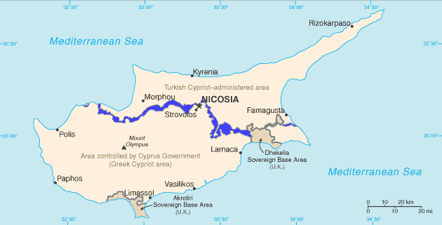
A buffer zone is a neutral zonal area that lies between two or more bodies of land, usually pertaining to countries. Depending on the type of buffer zone, it may serve to separate regions or conjoin them. Common types of buffer zones are demilitarized zones, border zones and certain restrictive easement zones and green belts. Such zones may be comprised by a sovereign state, forming a buffer state. Buffer zones have various purposes, politically or otherwise. They can be set up for a multitude of reasons, such as to prevent violence, protect the environment, shield residential and commercial zones from industrial accidents or natural disasters, or even isolate prisons. Buffer zones often result in large uninhabited regions that are themselves noteworthy in many increasingly developed or crowded parts of the world. Conservation For use in nature conservation, a buffer zone is often created to enhance the protection of areas under management for their biodiversity importance ... [...More Info...] [...Related Items...] OR: [Wikipedia] [Google] [Baidu] |
Sites Of Special Scientific Interest
A Site of Special Scientific Interest (SSSI) in Great Britain or an Area of Special Scientific Interest (ASSI) in the Isle of Man and Northern Ireland is a conservation designation denoting a protected area in the United Kingdom and Isle of Man. SSSI/ASSIs are the basic building block of site-based nature conservation legislation and most other legal nature/geological conservation designations in the United Kingdom are based upon them, including national nature reserves, Ramsar sites, Special Protection Areas, and Special Areas of Conservation. The acronym "SSSI" is often pronounced "triple-S I". Selection and conservation Sites notified for their biological interest are known as Biological SSSIs (or ASSIs), and those notified for geological or physiographic interest are Geological SSSIs (or ASSIs). Sites may be divided into management units, with some areas including units that are noted for both biological and geological interest. Biological Biological SSSI/ASSIs may ... [...More Info...] [...Related Items...] OR: [Wikipedia] [Google] [Baidu] |
Bagshot Formation
In geology, the Bagshot Beds are a series of sands and clays of shallow-water origin, some being fresh-water, some marine. They belong to the upper Eocene formation of the London and Hampshire basins, in England and derive their name from Bagshot Heath in Surrey. They are also well developed in Hampshire, Berkshire and the Isle of Wight. The following divisions are generally accepted: *Upper Bagshot Beds — Barton sand and Barton clay. *Middle Bagshot Beds — Bracklesham Beds. *Lower Bagshot Beds — Bournemouth Beds and Alum Bay Beds. The lower division consists of pale-yellow, current-bedded sand and loam, with layers of pipeclay and occasional beds of flint pebbles. In the London basin, wherever the junction of the Bagshot beds with the London clay is exposed, it is clear that no sharp line can be drawn between these formations. The Lower Bagshot Beds may be observed at Brentwood, Billericay and High Beach in Essex; outliers, capping hills of London clay, occur at Hamps ... [...More Info...] [...Related Items...] OR: [Wikipedia] [Google] [Baidu] |
Wargrave
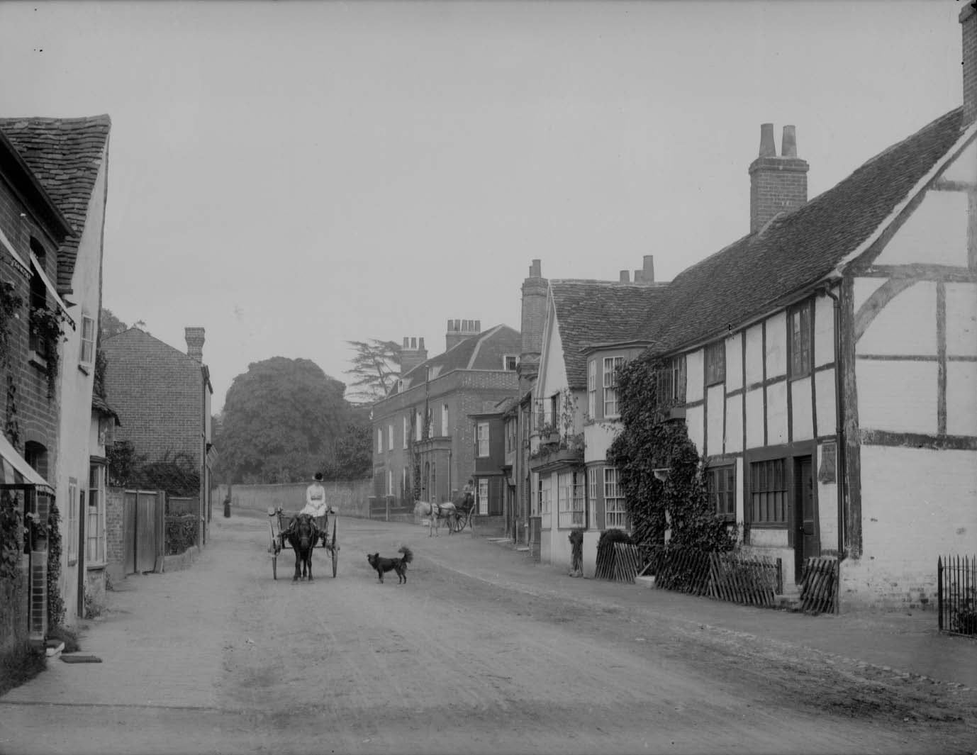
Wargrave () is a historic village and civil parish in Berkshire, England. The village is primarily on the River Thames but also along the confluence of the River Loddon and lies on the border with southern Oxfordshire. The village has many old listed buildings, two marinas with chandlery services for boats, a boating club and rises steeply to the northeast in the direction of Bowsey Hill, with higher parts of the village generally known as Upper Wargrave. In Upper Wargrave is a Recreation Ground with a cricket club, bowls club, football pitch and tennis club. Wargrave is situated in the A321 road from both Maidenhead and Reading and from Henley-on-Thames. The village is larger than the county average, having a railway station on the Henley Branch Line, off the Great Western Main Line from London Paddington; the village is quickly accessible to nearby parts of the M4 corridor, particularly Berkshire and Heathrow Airport and local major centres of employment include Reading a ... [...More Info...] [...Related Items...] OR: [Wikipedia] [Google] [Baidu] |
Camberley
Camberley is a town in the Borough of Surrey Heath in Surrey, England, approximately south-west of Central London. The town is in the far west of the county, close to the borders of Hampshire and Berkshire. Once part of Windsor Forest, Camberley grew up around the Royal Military Academy Sandhurst and the associated Army Staff College. Known originally as "Cambridge Town", it was assigned its current name by the General Post Office in 1877. Camberley's suburbs include Crawley Hill, York Town, Diamond Ridge, Heatherside and Old Dean. The town is immediately north of the M3 motorway, which may be accessed via junction 4. Camberley railway station is on the line between Ascot and Aldershot; train services are run by South Western Railway. History Before the 19th century, the area now occupied by Camberley was referred to as Bagshot or Frimley Heath. An Iron Age fort, among many examples known as Caesar's Camp, was to the north of this area alongside the Roman road The Dev ... [...More Info...] [...Related Items...] OR: [Wikipedia] [Google] [Baidu] |
Blackwater, Hampshire
Blackwater is a town in the northeastern corner of Hampshire, England, lying in the county's Hart District. Considered to be part of the Farnborough/Aldershot Built-up Area and nearly contiguous to Camberley, Surrey, it is centred WSW from London. Location The northern (and, respectively, eastern) borders of Blackwater are a mixture of water-meadows and roads to Berkshire (Bracknell Forest) and Surrey (Surrey Heath). The town is centred west of Camberley, NNW of Farnborough, and east of Basingstoke. As with that much larger town, Camberley and Bagshot, it straddles the A30 road. It is centred west-southwest of London. A pre-1900 distance sign near the nightclub on the A30, in Camberley marks " London - 30 miles", from which the centre of Blackwater is less than a mile. The town is in the outer half of the London Commuter Belt, the fastest link being Farnborough (Main) Station on the South Western Main Line. The place sits west of where the A30 trunk road from London to ... [...More Info...] [...Related Items...] OR: [Wikipedia] [Google] [Baidu] |


