|
Rhiwderin
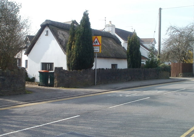
Rhiwderin ( cy, Rhiwderyn) is a small village in the west of the city of Newport, South Wales. It lies in the community parish and electoral district (ward) of Graig. The original village lies across a level crossing alongside the Ebbw Valley Railway and off the main A468 Newport— Caerphilly road. There are additional houses on the other side of the main road known as Rhiwderin Heights which have almost merged the village with neighbouring Bassaleg. The Pentrepoeth School is the local primary school in the area. Rhiwderin Community Centre is located in the former village school and administered by Graig Community Council. The village was served by Rhiwderin railway station until 1954. Rhyderin lies on the route of the old Brecon and Merthyr Tydfil Junction Railway line. The line now ends at Machen Quarry and carries only freight trains. The trackbed from Machen Machen (from Welsh ' "place (of)" + ', a personal name) is a large village three miles east of Caerphi ... [...More Info...] [...Related Items...] OR: [Wikipedia] [Google] [Baidu] |
Rhiwderin Railway Station
Rhiwderin railway station served the Welsh village of Rhiwderin near Newport, Wales. History and description The station had two platforms with a large stone building on one side and a wooden shelter on the other. The station had no footbridge, and passengers crossed via a level crossing. The station had a signal box, which is now preserved. Rhiwderin, like the other stations on this section of the line, was relatively successful in its early years, but as the road networks expanded after the 1940s, its profitability declined. The station proved an early casualty of the blow dealt to the local passenger stations in South Wales by bus services, closing to passengers in 1954 and to freight in 1959. After closure As of 2017, the line is still in a functional condition, and sees occasional traffic from Machen Quarry, but there is no longer a passenger station in the area. Rhiwderin station is now a private residence, though much of its original character has been retained. The sta ... [...More Info...] [...Related Items...] OR: [Wikipedia] [Google] [Baidu] |
Rhiwderin Congregational Chapel
Rhiwderin Congregational Chapel is a Nonconformist chapel in Rhiwderin, Newport, Wales. The chapel was founded in 1872, originally meeting in a stable nearby. In the following decade, Viscount Tredegar donated land on which the chapel was built in 1884. The schoolroom followed in 1903–4. Lord Tredegar later funded two stained glass windows for the church in 1910. The chapel is affiliated with the Congregational Federation The Congregational Federation is a small Christian denomination in Great Britain comprising 235 congregations, down from 294 in April 2014. The Federation brings together Congregational churches, and provides support and guidance to member chur .... References Churches completed in 1884 Churches in Newport, Wales {{Wales-church-stub ... [...More Info...] [...Related Items...] OR: [Wikipedia] [Google] [Baidu] |
Graig, Newport
Graig is an electoral ward and coterminous community (parish) of the city of Newport, South Wales. The ward is bounded by the Ebbw River and M4 motorway to the east, the city boundary to the north and west. The southern boundary is formed by a line from the M4/ A467 intersection in a roughly westerly direction as far as the city boundary. The area is governed by the Newport City Council. The ward contains Bassaleg, Rhiwderin and the hamlet of Lower Machen. It also contains the western half of the Foxgloves estateas the Ebbw passes through the centre, the eastern half is in Rogerstone. Location of a large Roman fort In the Roman Republic and the Roman Empire, the Latin word ''castrum'', plural ''castra'', was a military-related term. In Latin usage, the singular form ''castrum'' meant 'fort', while the plural form ''castra'' meant 'camp'. The singular and ... and its earthworks can be seen from the motorway. References External links Communities in Newport, W ... [...More Info...] [...Related Items...] OR: [Wikipedia] [Google] [Baidu] |
Brecon And Merthyr Tydfil Junction Railway
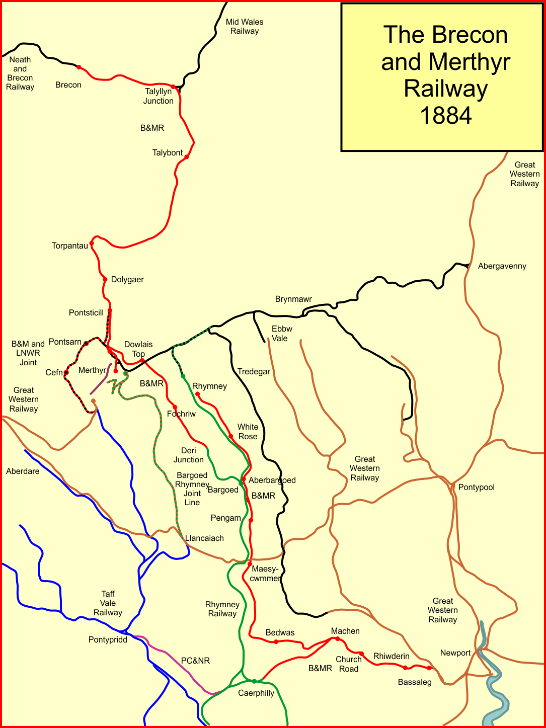
The Brecon and Merthyr Tydfil Junction Railway (B&MR) was a railway company in Wales. It was originally intended to link the towns in its name. Finding its access to Merthyr difficult at first, it acquired the Rumney Railway, an old plateway, and this gave it access to Newport docks. This changed its emphasis from rural line to mineral artery. It opened at the Brecon end to a point near Dowlais in 1863, and in 1865 it opened a disconnected section from Rhymney to Newport. In due course the company connected the two sections and reached Dowlais and Merthyr, but had to concede sharing a route with the powerful London and North Western Railway. The B&MR was always short of money, and was notable for its prodigious gradients, but it survived until the grouping of 1923, when it became part of the Great Western Railway. Its network declined steeply after 1945, and passenger operation ceased in 1962. Goods and mineral operation also lost its market, and as of 2020, only a short stub ... [...More Info...] [...Related Items...] OR: [Wikipedia] [Google] [Baidu] |
Newport, Wales
Newport ( cy, Casnewydd; ) is a city and Local government in Wales#Principal areas, county borough in Wales, situated on the River Usk close to its confluence with the Severn Estuary, northeast of Cardiff. With a population of 145,700 at the 2011 census, Newport is the third-largest authority with City status in the United Kingdom, city status in Wales, and seventh List of Welsh principal areas, most populous overall. Newport became a unitary authority in 1996 and forms part of the Cardiff-Newport metropolitan area. Newport was the site of the last large-scale armed insurrection in Great Britain, the Newport Rising of 1839. Newport has been a port since medieval times when the first Newport Castle was built by the Normans. The town outgrew the earlier Roman Britain, Roman town of Caerleon, immediately upstream and now part of the borough. Newport gained its first Municipal charter, charter in 1314. It grew significantly in the 19th century when its port became the focus of Coa ... [...More Info...] [...Related Items...] OR: [Wikipedia] [Google] [Baidu] |
South Wales
South Wales ( cy, De Cymru) is a loosely defined region of Wales bordered by England to the east and mid Wales to the north. Generally considered to include the historic counties of Glamorgan and Monmouthshire, south Wales extends westwards to include Carmarthenshire and Pembrokeshire. In the western extent, from Swansea westwards, local people would probably recognise that they lived in both south Wales and west Wales. The Brecon Beacons National Park covers about a third of south Wales, containing Pen y Fan, the highest British mountain south of Cadair Idris in Snowdonia. A point of some discussion is whether the first element of the name should be capitalised: 'south Wales' or 'South Wales'. As the name is a geographical expression rather than a specific area with well-defined borders, style guides such as those of the BBC and ''The Guardian'' use the form 'south Wales'. In a more authoritative style guide, the Welsh Government, in their international gateway website, ... [...More Info...] [...Related Items...] OR: [Wikipedia] [Google] [Baidu] |
Bassaleg
Bassaleg ( cy, Basaleg) is a suburb on the west side of Newport, Wales. It is in the Graig electoral ward and community.Bassaleg is located two miles northwest of Newport city centre. Bassaleg is bounded by the A467 road (A4072) to the east, the railway spur to Lower Machen (the former Brecon and Merthyr Railway) to the north, the St Mellons Road (B4288) to the south and Rhiwderin to the east. The Ebbw River runs through the area. The A468 road passes through towards Caerphilly and junction 28 of the M4 motorway is less than a mile to the south. St Basil's Church The parish church of St. Basil's is a Grade II* listed building. It has been suggested that site of the church was originally dedicated to Saint Gwladys. Historians have suggested that Bassaleg is the only British place whose name derives from the word ''basilica'', a term used in early Christianity for a church containing the body of a saint. Until the mid-19th century, a grave chapel for St. Gwladys survived clos ... [...More Info...] [...Related Items...] OR: [Wikipedia] [Google] [Baidu] |
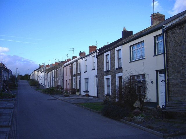
Tredegar Street, Rhiwderin - Geograph
Tredegar (pronounced , ) is a town and community situated on the banks of the Sirhowy River in the county borough of Blaenau Gwent, in the southeast of Wales. Within the historic boundaries of Monmouthshire, it became an early centre of the Industrial Revolution in Wales. The relevant wards (Tredegar Central and West, Sirhowy and Georgetown) collectively listed the town's population as 15,103 in the UK 2011 census. History Origin of the name The original Tredegar is in Coedcernyw by Newport, and is nowadays more usually known in English as (in order to avoid confusion) Tredegar House (or Tredegar Park). Older forms of the name show it to be Tredegyr (this form is found in 1550) (by the modern Welsh period generally this final "y" would have become "e". In south-eastern Welsh, or Gwentian, which is the variety of Welsh spoken historically in Tredegar, this would have in turn become "a", as with Gwentian "Merchar" (Wednesday), standard Welsh "Mercher", from older Welsh "Merchyr" ... [...More Info...] [...Related Items...] OR: [Wikipedia] [Google] [Baidu] |
South East Wales Metro
The South Wales Metro () is an integrated heavy rail, light rail and bus-based public transport services and systems network in South East Wales around the hub of . The first phase was approved for development in October 2013. Works are currently underway with a brand new depot under construction at Taff's Well and new trains being constructed at the Construcciones y Auxiliar de Ferrocarriles (CAF) factory in Newport. This will also include the electrification of the core Valley Lines and new stations. This will be the biggest overhaul to the railways of South Wales since their construction 170 years ago. Background The rail-based transport system in South Wales was degraded due to the 1960s Beeching cuts. This saw the closure of some lines and many sub-branches serving the mainly ex-mining communities and their easy links to ports and resorts on the coast. Since 1987, five of the main closures have been reversed: services were reinstated on Cardiff's City Line that year, the ... [...More Info...] [...Related Items...] OR: [Wikipedia] [Google] [Baidu] |
National Cycle Route 4
Between these, the route runs through Reading, Bath, Bristol, Newport, Swansea and St David's. Within Wales, sections of the route follow branches of the Celtic Trail cycle route. Route The total length of the path is 443.6 miles and takes an estimated 36 hours to complete by bike. Just under half (47.4%) of the route consists in traffic-free paths. London to Reading The route roughly follows the course of the River Thames between London and Reading, and forms a junction with NCR 5 and NCR 23 at the latter. * Greenwich; Rotherhithe: Surrey Quays; South Bank; Lambeth Bridge; Chelsea; Imperial Wharf; Putney Bridge * Richmond Park; Ham; Hampton Court Palace; Molesey; Walton on Thames * Chertsey (touristic town) or Laleham (shorter, towpath route) * Staines Bridge; Coopers Hill; Windsor Great Park; Windsor; Eton * Bray; Maidenhead * Wargrave; Reading At its east end, the route meanders mostly set about one "block" back from the Thames, including several small parks. I ... [...More Info...] [...Related Items...] OR: [Wikipedia] [Google] [Baidu] |
Machen
Machen (from Welsh language, Welsh ' "place (of)" + ', a personal name) is a large village three miles east of Caerphilly, south Wales. It is situated in the Caerphilly (county borough), Caerphilly borough within the Historic counties of Wales, historic boundaries of Monmouthshire (historic), Monmouthshire. It neighbours Bedwas and Trethomas, and forms a Bedwas, Trethomas and Machen, council ward in conjunction with those communities. It lies on the Rhymney River. Mynydd Machen (Machen Mountain) provides a view over the village. It is possible to walk up to and along the top of the mountain, where a number of large boulders are present. Machen has a successful boules (petanque) team that are located at the rugby club. The team has had a team in the first Division of the boules in Gwent (BIG) league for the last 4 years. Industrial history Machen was a village rooted in the iron and coal industries stretching from the 17th Century. Though little trace remains, the village was ... [...More Info...] [...Related Items...] OR: [Wikipedia] [Google] [Baidu] |
Caerphilly
Caerphilly (, ; cy, Caerffili, ) is a town and community in Wales. It is situated at the southern end of the Rhymney Valley. It is north of Cardiff and northwest of Newport. It is the largest town in Caerphilly County Borough, and lies within the historic borders of Glamorgan, on the border with Monmouthshire. At the 2011 Census, the town had a population of 41,402 while the wider Caerphilly Local Authority area has a population of 178,806. Toponym The name of the town in Welsh, , means "the fort () of Ffili". Despite lack of evidence, tradition states that a monastery was built by St Cenydd, a sixth-century Christian hermit from the Gower Peninsula, in the area. The Welsh cantref in the medieval period was known as Senghenydd. It is said that St Cenydd's son, St Ffili, built a fort in the area thus giving the town its name. Another explanation given for the toponym is that the town was named after the Anglo-Norman Marcher Lord, Philip de Braose. History The town's sit ... [...More Info...] [...Related Items...] OR: [Wikipedia] [Google] [Baidu] |


.jpg)

