|
Reeshof
The Reeshof (also known as Tilburg Reeshof), is a district of the municipality Tilburg in the Netherlands. The district has 42,696 inhabitants, which makes the Reeshof the largest district of Tilburg. The Reeshof mostly consists of new-built houses from 1980 or later. Neighbourhoods ''Data from 2010:'' ''* Witbrant and Koolhoven were not finished yet when data was put online'' The different neighbourhoods are almost clearly divided by the starting alphabetical letter of every street. The streets are named after Dutch villages and hamlets under 20.000 inhabitants, with some exceptions which contain bigger towns. In the neighbourhood Heerevelden for example, there are streets like Hillegomlaan and Haaftenstraat. Despite having the starting alphabetical letter too, Heerevelden is, together with Witbrant, the only neighbourhood with this. Three shopping areas facilitate the Reeshof. ''Buurmalsenplein'' in Gesworen Hoek which was the (temporary) main shopping area until 1997, the ''H ... [...More Info...] [...Related Items...] OR: [Wikipedia] [Google] [Baidu] |
Tilburg
Tilburg () is a city and municipality in the Netherlands, in the southern province of North Brabant. With a population of 222,601 (1 July 2021), it is the second-largest city or municipality in North Brabant after Eindhoven and the seventh-largest in the Netherlands as a whole. Tilburg University is located in Tilburg, as are Avans University of Applied Sciences and Fontys University of Applied Sciences. Tilburg is known for its ten-day-long funfair, held in July each year. The Monday during the funfair is called "Roze Maandag" (Pink Monday) and is primarily LGBT-oriented. There are three railway stations within the municipality: Tilburg, Tilburg Universiteit and Tilburg Reeshof. The "Spoorzone" area around Tilburg Central station, once a Dutch Railways train maintenance yard, has been purchased by the city and is being transformed into an urban zone. History Little is known about the beginnings of Tilburg. The name ''Tilliburg'' first appeared in documents dat ... [...More Info...] [...Related Items...] OR: [Wikipedia] [Google] [Baidu] |
Tilburg Reeshof Railway Station
Tilburg Reeshof is a railway station located in the Reeshof in Tilburg, Netherlands. It is situated on the Breda–Eindhoven railway. The station was opened on 14 December 2003. The train services are operated by Nederlandse Spoorwegen. Train service The following services currently call at Tilburg Reeshof: *2x per hour local services (''sprinter'') Arnhem Centraal - Nijmegen - 's-Hertogenbosch - Tilburg - Breda - Dordrecht Bus service The station is served by the following city bus line, operated by Arriva Arriva plc is a British multinational public transport company headquartered in Sunderland, England.NS website [...More Info...] [...Related Items...] OR: [Wikipedia] [Google] [Baidu] |
Tilburg Railway Station
Tilburg railway station is a railway station located in Tilburg in the province of North Brabant, Netherlands. The station was opened on 5 October 1863 and is located on the Breda–Eindhoven railway and Tilburg–Nijmegen railway. The train services are operated by Nederlandse Spoorwegen (NS). North of this train station used to be the large Tilburg Works, where large scale work were carried out on locomotives. Since 2013 these works are carried out northeast of the city in a new industrial area, called Loven-Noord, along the Tilburg–Nijmegen railway. Gallery File:NS station Tilburg (exterieur), Spoorzone, 1 april 2017.jpg, Tilburg Station, 2017 File:Aanzicht station - Tilburg - 20535536 - RCE.jpg, Tilburg Station, 2009 File:Overzicht station - Tilburg - 20535533 - RCE.jpg, Tilburg Station, 2009 File:Tilburg station.jpg, Tilburg Station, 2005 Train services The following services currently call at Tilburg: *2x per hour intercity services The Hague - Rotterdam - Dordrecht ... [...More Info...] [...Related Items...] OR: [Wikipedia] [Google] [Baidu] |
Wilhelmina Canal
The Wilhelmina Canal is a canal in North-Brabant, Netherlands. It connects Tilburg to the Meuse, and continues to the east to connect to the Zuid-Willemsvaart north of Helmond. Characteristics The Wilhelmina Canal runs from the Zuid-Willemsvaart in Laarbeek to the Amer (Meuse) just west of Geertruidenberg and is 68 kilometers long. The section from Geertruidenberg southward to Lock I in Oosterhout is suitable for ships of up to 135 * 11.5 * 3 m ( CEMT class Va). The section from Lock I in Oosterhout to Lock II at the western border of Tilburg is suitable for CEMT IV limited to 90 * 9.60 * 2.70 m. East of Lock II Tilburg, the canal still has it old dimensions. The section of from Tilburg to the Beatrix Canal, is suitable for ships of up to 650 tons capacity (CEMT II), but is only 2.30 m deep on average, and even only 1.90 m deep at some point. Therefore, CEMT II ships on this section are not fully loaded and maximum dimensions are 63 * 7.20 * 1.90 m ... [...More Info...] [...Related Items...] OR: [Wikipedia] [Google] [Baidu] |
North Brabant
North Brabant ( nl, Noord-Brabant ; Brabantian: ; ), also unofficially called Brabant, is a province in the south of the Netherlands. It borders the provinces of South Holland and Gelderland to the north, Limburg to the east, Zeeland to the west, and the Flemish provinces of Antwerp and Limburg to the south. The northern border follows the Meuse westward to its mouth in the Hollands Diep strait, part of the Rhine–Meuse–Scheldt delta. North Brabant has a population of 2,562,566 as of November 2019. Major cities in North Brabant are Eindhoven (pop. 231,642), Tilburg (pop. 217,259), Breda (pop. 183,873) and its provincial capital 's-Hertogenbosch (pop. 154,205). History The Duchy of Brabant was a state of the Holy Roman Empire established in 1183 or 1190. It developed from the Landgraviate of Brabant and formed the heart of the historic Low Countries, part of the Burgundian Netherlands from 1430 and of the Habsburg Netherlands from 1482, until it was split up ... [...More Info...] [...Related Items...] OR: [Wikipedia] [Google] [Baidu] |
Netherlands
) , anthem = ( en, "William of Nassau") , image_map = , map_caption = , subdivision_type = Sovereign state , subdivision_name = Kingdom of the Netherlands , established_title = Before independence , established_date = Spanish Netherlands , established_title2 = Act of Abjuration , established_date2 = 26 July 1581 , established_title3 = Peace of Münster , established_date3 = 30 January 1648 , established_title4 = Kingdom established , established_date4 = 16 March 1815 , established_title5 = Liberation Day , established_date5 = 5 May 1945 , established_title6 = Kingdom Charter , established_date6 = 15 December 1954 , established_title7 = Caribbean reorganisation , established_date7 = 10 October 2010 , official_languages = Dutch , languages_type = Regional languages , languages_sub = yes , languages = , languages2_type = Recognised languages , languages2_sub = yes , languages2 = , demonym = Dutch , capital = Amsterdam , largest_city = capital , ... [...More Info...] [...Related Items...] OR: [Wikipedia] [Google] [Baidu] |
Hillegom
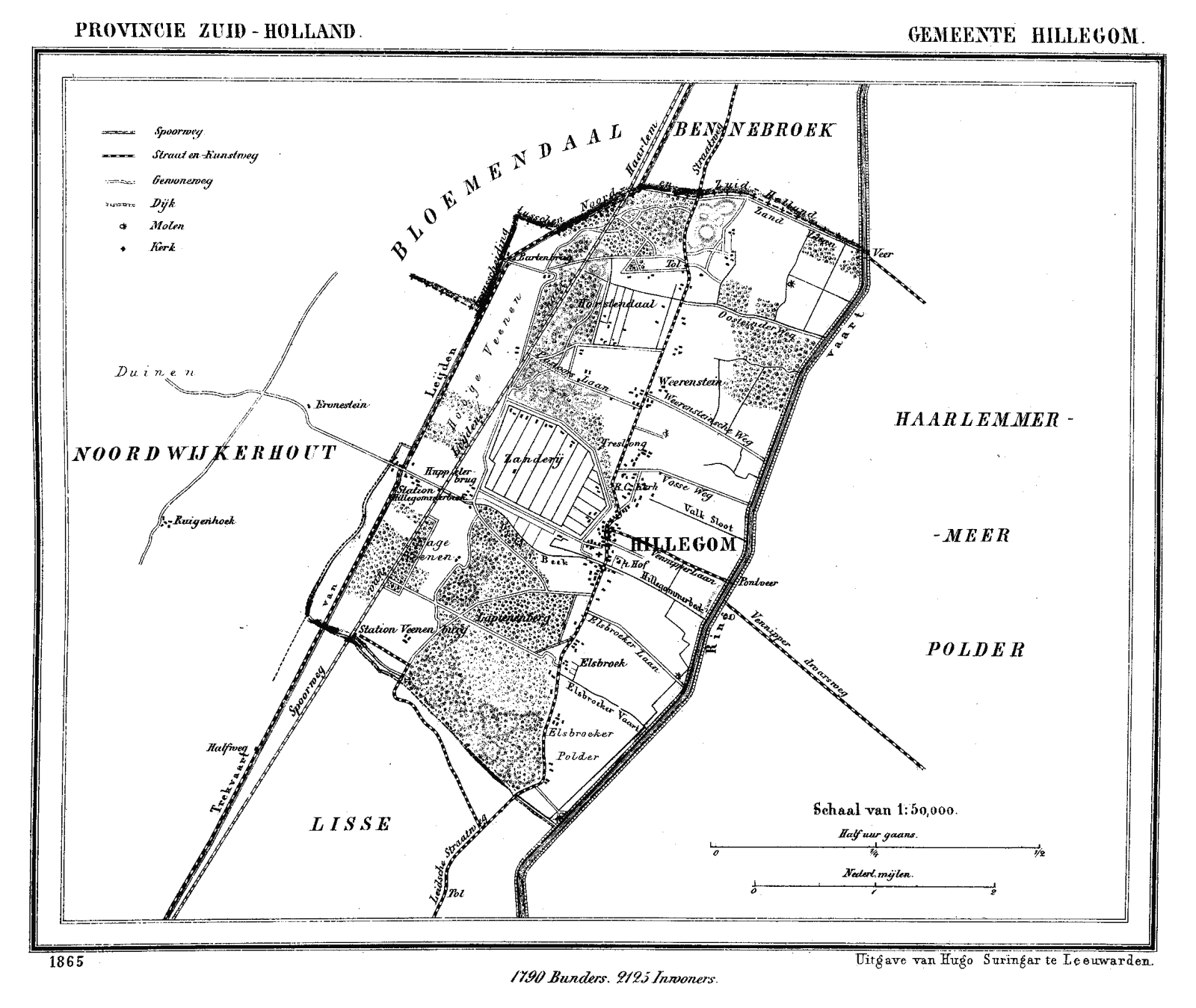
Hillegom () is a town and municipality in the western Netherlands, in the province of South Holland. Hillegom is part of an area called the Duin- en Bollenstreek ("Dune and Bulb Region"). As such, a large portion of the local economy was traditionally geared to the cultivation of bulb flowers. The name Hillegom is derived from the abbey named ''Hijlighem'' ( Old Frankish for "Holy Home"). This abbey no longer exists. The current Lord of Hillegom is Jan Six X. History Hillegom was formed on the eastern edge of the coastal dunes where the old Leiden to Haarlem route crossed the ''Hillegommerbeek'' (Hillegom's Creek), not far from the shores of the ''Haarlemmermeer'' (Haarlem's Lake). Places with the suffix "-heim" (or variant spellings) usually developed before the year 1000 and therefore it is assumed that this may apply to Hillegom as well. In 1150 the abbot of Egmond had the rights to naming priests in Hillegom, indicating that a church or chapel existed there. In 1248 the c ... [...More Info...] [...Related Items...] OR: [Wikipedia] [Google] [Baidu] |
Haaften
Haaften is a village in the Dutch province of Gelderland, on the northern shore of the river Waal, about opposite Zaltbommel. It is a part of the municipality of West Betuwe, and lies about 25 km south of Utrecht. From 1818 to 1977 Haaften was the main village and seat of the town hall of the eponymous municipality, which also comprised the smaller villages of Hellouw to the west and Tuil to the east, all on the northern bank of the river Waal. On 1 January 1978 it was merged with the Neerijnen municipality of which it formed the westernmost part. In 2019 Neerijnen merged with several other municipalities to form West Betuwe. History It was first mentioned in 1160 as Haften. The etymology is unclear. Haaften developed into a stretched out ''esdorp'' which was surrounded by the dike of the Waal on three sides. Castle Goudenstein was built by the van Haeften family and was first mentioned in the 13th century. In 1672, the castle was destroyed by the French, and only the cor ... [...More Info...] [...Related Items...] OR: [Wikipedia] [Google] [Baidu] |
Station Reeshof2
Station may refer to: Agriculture * Station (Australian agriculture), a large Australian landholding used for livestock production * Station (New Zealand agriculture), a large New Zealand farm used for grazing by sheep and cattle ** Cattle station, a cattle-rearing station in Australia or New Zealand **Sheep station, a sheep-rearing station in Australia or New Zealand Communications * Radio communication station, a radio frequency communication station of any kind, including audio, TV, and non-broadcast uses ** Radio broadcasting station, an audio station intended for reception by the general public ** Amateur radio station, a station operating on frequencies allocated for ham or other non-commercial use ** Broadcast relay station ** Ground station (or Earth station), a terrestrial radio station for extraplanetary telecommunication with satellites or spacecraft ** Television station * Courier station, a relay station in a courier system ** Station of the ''cursus publicus'', a s ... [...More Info...] [...Related Items...] OR: [Wikipedia] [Google] [Baidu] |
Breda
Breda () is a city and municipality in the southern part of the Netherlands, located in the province of North Brabant. The name derived from ''brede Aa'' ('wide Aa' or 'broad Aa') and refers to the confluence of the rivers Mark and Aa. Breda has 185,072 inhabitants on 13 September 2022 and is part of the Brabantse Stedenrij; it is the ninth largest city/municipality in the country, and the third largest in North Brabant after Eindhoven and Tilburg. It is equidistant between Rotterdam and Antwerp. As a fortified city, it was of strategic military and political significance. Although a direct Fiefdom of the Holy Roman Emperor, the city obtained a municipal charter; the acquisition of Breda, through marriage, by the House of Nassau ensured that Breda would be at the centre of political and social life in the Low Countries. Breda had a population of in ; the metropolitan area had a population of . History In the 11th century, Breda was a direct fief of the Holy Roman Empero ... [...More Info...] [...Related Items...] OR: [Wikipedia] [Google] [Baidu] |
A58 Motorway (Netherlands)
The A58 motorway is a motorway in the Netherlands. It is approximately in length. The A58 is located in the Dutch provinces of North Brabant and Zeeland. The A58 connects North Brabant's three major cities Eindhoven, Tilburg and Breda with the cities Goes, Middelburg and Vlissingen in Zeeland. History With the reconstruction works of the ''Randweg Eindhoven'', the beltway of the city, nearing completion, the A58 motorway has been shortened by a few kilometers. The road now only starts at the interchange Batadorp. The section between its former eastern terminus (interchange Ekkersrijt/John F. Kennedylaan) and the interchange Ekkersweijer has now become part of the A50, while the section between interchanges Ekkersweijer and Batadorp is now only a part of the A2, and is no longer shared with the A58. Traffic jams The motorway 58 is congested everyday, especially between Oirschot - Tilburg and between Roosendaal - Bergen Op Zoom. In 2011, experiments with "" (lower speed limit ... [...More Info...] [...Related Items...] OR: [Wikipedia] [Google] [Baidu] |


