|
Rancho San Antonio (San Gabriel Valley)
Rancho San Antonio may refer to: *Rancho San Antonio (Lugo), a Spanish land grant in present-day Los Angeles County, California * Rancho San Antonio (Peralta), a Spanish land grant in present-day Alameda County, California *Yorba Hacienda or Rancho San Antonio, the adobe house of Bernardo Yorba on his Rancho Cañón de Santa Ana *Rancho San Antonio (Mesa), a Mexican land grant in present-day Santa Clara County, California * Rancho San Antonio County Park, a Santa Clara county park, located on the former Mexican land grant in present-day Santa Clara County, California *Rancho San Antonio Open Space Preserve Rancho or Ranchos may refer to: Settlements and communities *Rancho, Aruba, former fishing village and neighbourhood of Oranjestad *Ranchos of California, 19th century land grants in Alta California **List of California Ranchos *Ranchos, Buenos Ai ..., a Midpeninsula Regional Open Space Preserve, adjacent to the county park, located on the former Mexican land grant in present-da ... [...More Info...] [...Related Items...] OR: [Wikipedia] [Google] [Baidu] |
Rancho San Antonio (Lugo)
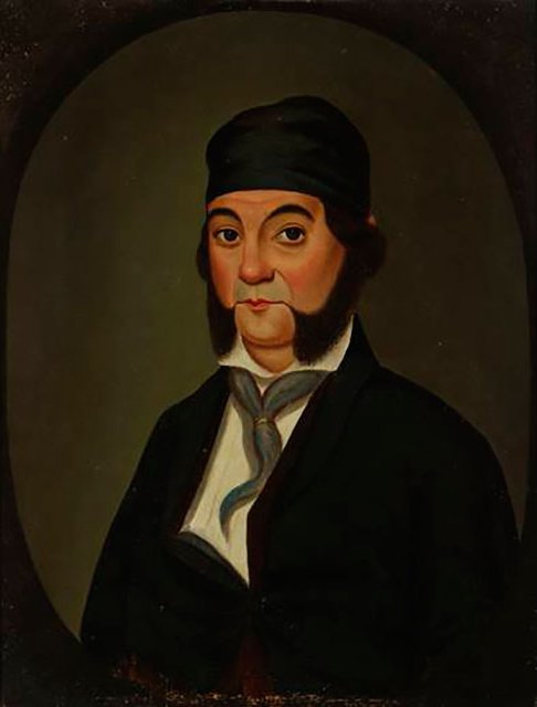
Rancho San Antonio a Spanish land grant in present-day Los Angeles County, California was granted to Antonio Maria Lugo. The rancho included the present-day cities of Bell, Bell Gardens, Maywood, Vernon, Huntington Park, Walnut Park, Cudahy, South Gate, Lynwood and Commerce. History Corporal Antonio Maria Lugo, after seventeen years of military service, received his discharge and was granted the Spanish concession Rancho San Antonio in 1810. The grant was confirmed in 1838 to Antonio Maria Lugo by Mexican Governor Juan B. Alvarado. On Rancho San Antonio he built Casa de Rancho San Antonio the oldest home in Los Angeles County, California. With the cession of California to the United States following the Mexican–American War, the 1848 Treaty of Guadalupe Hidalgo provided that the land grants would be honored. As required by the Land Act of 1851, a claim was filed with the Public Land Commission in 1852, and the grant was patented to Antonio Lugo in 1866. [...More Info...] [...Related Items...] OR: [Wikipedia] [Google] [Baidu] |
Rancho San Antonio (Peralta)
Rancho San Antonio, also known as the Peralta Grant, was a land grant by Governor Pablo Vicente de Solá, the last Spanish governor of California, to Don Luís María Peralta, a sergeant in the Spanish Army and later, commissioner of the Pueblo of San José, in recognition of his forty years of service. The grant, issued on August 3, 1820, embraced the sites of the cities of San Leandro, Oakland, Alameda, Emeryville, Piedmont, Berkeley, and Albany. History Luís María Peralta never lived on the rancho himself, but his four sons and their families did. With their wives, families, landless Spanish-Mexican laborers (from New Spain), their families, and some native peoples, the Peralta sons established the first Spanish-speaking communities in the East Bay. As the rancho prospered, the Peralta brothers built newer and bigger houses. The main hacienda contained two adobes, and some twenty guest houses, and became an established stop for travelers along what was during the Spanish er ... [...More Info...] [...Related Items...] OR: [Wikipedia] [Google] [Baidu] |
Yorba Hacienda
The Yorba Hacienda was a domestic dwelling constructed by Bernardo Yorba on the Rancho Cañón de Santa Ana Mexican land grant, and located in the present city of Yorba Linda, California. It was notable as the seat of the wealthiest member of the Yorba family and as the largest adobe hacienda in Alta California. Construction On August 1, 1834, Mexican Governor José Figueroa granted to Bernardo Yorba on the north side of the Santa Ana River, about four miles upstream from the José Antonio Yorba hacienda "El Refugio" on Rancho Santiago de Santa Ana. Bernardo Yorba Hacienda In 1835, Bernardo Yorba began construction on a two-story adobe house that was to be one of the finest and largest in all of Alta California. Construction was completed in stages over several years. The main buildings were arranged to form three sides of a square and boasted 200 rooms, although older, more conservative accounts list at least fifty rooms. The southern face of the main structure was measured ... [...More Info...] [...Related Items...] OR: [Wikipedia] [Google] [Baidu] |
Rancho San Antonio (Mesa)
Rancho San Antonio was a Mexican land grant in present-day Santa Clara County, California given in 1839 by Governor Juan Alvarado to Juan Prado Mesa. The grant was bounded by Adobe Creek to the north and Stevens Creek to the south, and included Permanente Creek, and present-day Los Altos Hills. History Juan Prado Mesa (1806–1845) was born in Santa Clara, grandson of Corporal José Valerio Mesa who came to California with the Anza Expedition, and son of Jose Antonio Mesa, grantee of Rancho Los Medanos. Since 1828, Juan Prado Mesa had been a soldier at the San Francisco Presidio. In 1835, when Vallejo moved his company to Sonoma, Alférez Juan Prado Mesa was left in charge of the San Francisco Presidio. Later Mesa served as the commander of the Santa Clara Mission guard. Juan Prado Mesa was wounded in an Indian fight in 1838, granted Rancho San Antonio in 1839, and died from his wounds in 1845. With the cession of California to the United States following the Mexican-Am ... [...More Info...] [...Related Items...] OR: [Wikipedia] [Google] [Baidu] |
Rancho San Antonio County Park
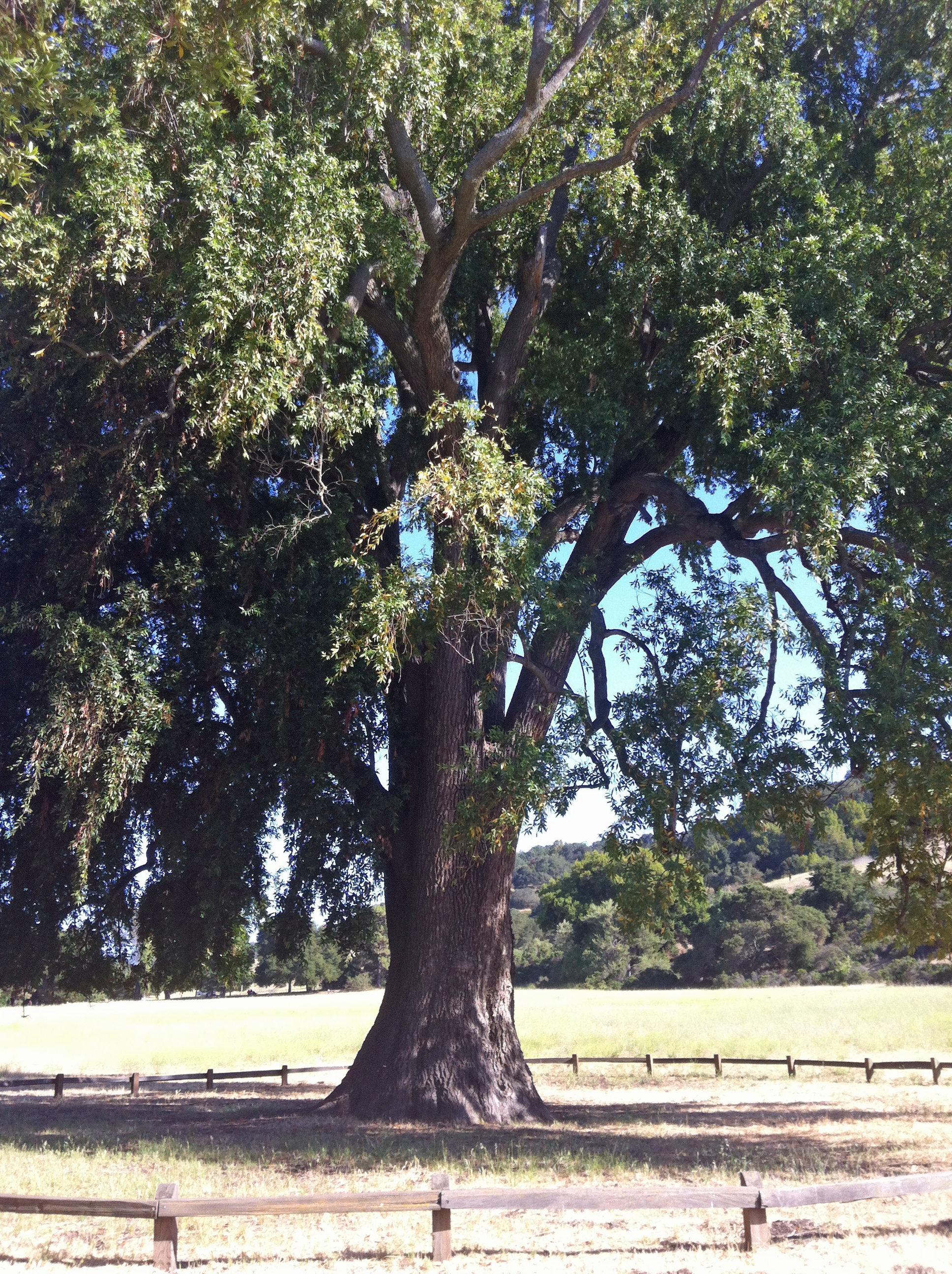
Rancho San Antonio County Park and Rancho San Antonio Open Space Preserve are a conjoined public recreational area in the Santa Cruz Mountains, in the northwest quadrant of Santa Clara County, California. The County Park is bordered by Los Altos with some parts of the eastern part of the County Park in western Cupertino. The Open Space Preserve is on the west side of the County Park, also bordered by Los Altos Hills, Monte Bello Open Space Preserve, and the Permanente Quarry. The Midpeninsula Regional Open Space District manages both the 3988 acre Open Space Preserve and the 289 acre County Park. This article covers both Rancho San Antonio County Park and Rancho San Antonio Open Space Preserve. History The Ohlone Indians lived in the area for over 3,000 years prior to the arrival of the Spanish. A large village, known as Partacsi, was located in the general area. In March 1776, Juan Bautista de Anza led the first overland expedition to San Francisco Bay from Monterey through t ... [...More Info...] [...Related Items...] OR: [Wikipedia] [Google] [Baidu] |
Rancho San Antonio Open Space Preserve
Rancho or Ranchos may refer to: Settlements and communities *Rancho, Aruba, former fishing village and neighbourhood of Oranjestad *Ranchos of California, 19th century land grants in Alta California **List of California Ranchos *Ranchos, Buenos Aires in Argentina Schools *Rancho Christian School in Temecula, California *Rancho High School in North Las Vegas, Nevada * Rancho San Joaquin Middle School in Irvine, California *Rancho Solano Preparatory School in Scottsdale, Arizona * Rancho Verde High School in Moreno Valley, California Film *Rancho, a character in the Bollywood film '' 3 Idiots'' *Rancho (monkey), an Indian monkey animal actor Other *Rancho, a shock absorber brand by Tenneco Automotive * Rancho carnavalesto or Rancho, a type of dance club from Rio de Janeiro, Brazil *Rancho Los Amigos National Rehabilitation Center or Rancho *Rancho Point, a rock headland in the South Shetland Islands *Matra Rancho or Rancho, an early French leisure activity vehicle See also * * ... [...More Info...] [...Related Items...] OR: [Wikipedia] [Google] [Baidu] |


