|
Ramsgill
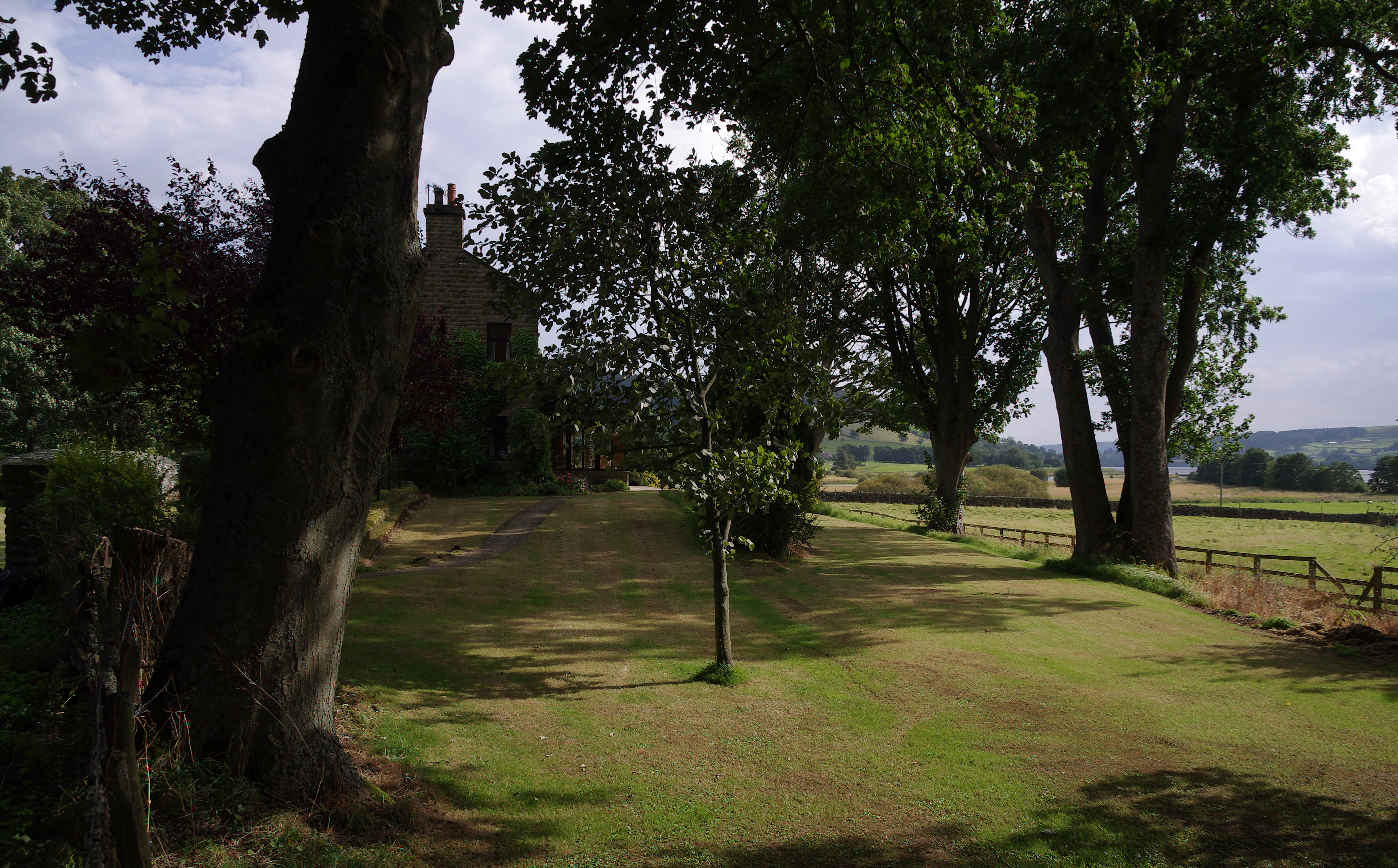
Ramsgill is a small village in Nidderdale, North Yorkshire, England, about south-east of Lofthouse, located near Gouthwaite Reservoir. It is chiefly known for the Yorke Arms, formerly a Michelin-starred restaurant on the village green which takes its name from the lords of the manor, the Yorke family, who once lived in nearby Gouthwaite Hall. The Yorke Arms is now an event venue. The Church of St Mary the Virgin was built in 1842, near to the remains of a Grade II listed medieval chapel which was originally part of a large grange built by the monks of Byland Abbey. Ramsgill had a railway station on the Nidd Valley Light Railway, located in the hamlet of Bouthwaite. It opened in 1907 and closed in 1930. The murderer Eugene Aram Eugene Aram (170416 August 1759) was an English philologist, but also infamous as the murderer celebrated by Thomas Hood in his ballad ''The Dream of Eugene Aram'', and by Edward Bulwer-Lytton in his 1832 novel ''Eugene Aram''. Early life Aram .. ... [...More Info...] [...Related Items...] OR: [Wikipedia] [Google] [Baidu] |
Nidd Valley Light Railway
Nidd Valley Light Railway was a light railway in upper Nidderdale in the West Riding of Yorkshire, England. It was owned by Bradford Corporation Waterworks Department and the corporation also operated its public passenger services. Power & Traction Ltd of London obtained a Light Railway Order for the railway from Pateley Bridge to Lofthouse in 1900, but these powers were taken over by Bradford Corporation. A contract to build Angram Reservoir was awarded to John Best & Son in 1903, and he also won the contract to build the public railway and a private extension to the reservoir site. This was initially built to gauge but was converted to standard gauge by 1907, when the public railway opened. Best had his own locomotives, and Bradford Corporation equipped the public railway with second hand locomotives and carriages from the Metropolitan Railway. The Angram Reservoir project was completed in 1916. The corporation had obtained powers to build another reservoir at Scar House in ... [...More Info...] [...Related Items...] OR: [Wikipedia] [Google] [Baidu] |
Ramsgill Railway Station
Ramsgill railway station was a station on the Nidd Valley Light Railway in Nidderdale in Yorkshire, England. It opened in 1907 and closed in 1930. It was located in Bouthwaite, from the village of Ramsgill, then in the West Riding of Yorkshire but now in North Yorkshire North Yorkshire is the largest ceremonial counties of England, ceremonial county (lieutenancy area) in England, covering an area of . Around 40% of the county is covered by National parks of the United Kingdom, national parks, including most of .... The station is now a private residence, though the platform can still be seen. References External links Disused railway stations in North Yorkshire Railway stations in Great Britain opened in 1907 Railway stations in Great Britain closed in 1930 Nidderdale {{Yorkshire-Humber-railstation-stub ... [...More Info...] [...Related Items...] OR: [Wikipedia] [Google] [Baidu] |
Yorke Arms
The Yorke Arms is a luxury events venue in Ramsgill, Nidderdale, in the Yorkshire Dales in northern England. The building began life as a shooting lodge for the Yorke family. In 1842 it was rebuilt as a small inn, and by 1924 it had acquired a reputation as an eating establishment. From 2003 to 2019 the restaurant held one star in the Michelin Guide. The Yorke Arms closed as a restaurant and hotel in 2020. When it was still a restaurant the Yorke Arms featured in '' The Trip'', a 2010 BBC comedy starring Steve Coogan and Rob Brydon as fictionalised versions of themselves doing a restaurant tour of northern England Northern England, also known as the North of England, the North Country, or simply the North, is the northern area of England. It broadly corresponds to the former borders of Angle Northumbria, the Anglo-Scandinavian Kingdom of Jorvik, and the .... References {{Reflist External links Yorke Arms website Nidderdale Hotels in North Yorkshire Defunct hote ... [...More Info...] [...Related Items...] OR: [Wikipedia] [Google] [Baidu] |
Bouthwaite
Bouthwaite is a hamlet in the Harrogate district of North Yorkshire, England. It is situated in Nidderdale, to the north of Pateley Bridge, close to the village of Ramsgill. The Nidderdale Way and Six Dales Trail both pass through the hamlet. The place is first mentioned in 1184 as ''Burtheit''. The toponym means "cottage or store-house clearing", from the Old Norse ''búr'' and '' þveit''. Fountains Abbey owned the land in the Middle Ages and established a grange at Bouthwaite. Between 1907 and 1930 Bouthwaite was the site of Ramsgill railway station Ramsgill railway station was a station on the Nidd Valley Light Railway in Nidderdale in Yorkshire, England. It opened in 1907 and closed in 1930. It was located in Bouthwaite, from the village of Ramsgill, then in the West Riding of Yorkshire ... on the Nidd Valley Light Railway. References External links Hamlets in North Yorkshire Nidderdale {{harrogate-geo-stub ... [...More Info...] [...Related Items...] OR: [Wikipedia] [Google] [Baidu] |
Stonebeck Down
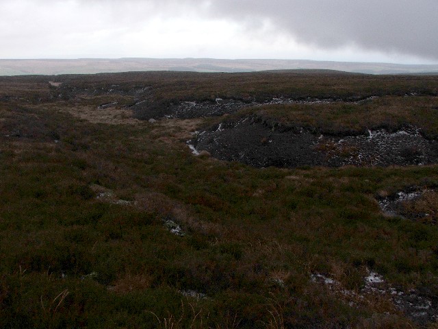
Stonebeck Down is a civil parish in Harrogate district, North Yorkshire, England. The main settlements in the parish are the village of Ramsgill and the hamlets of Stean and Heathfield. The population of the parish in the 2011 census was 192. The parish occupies the west side of upper Nidderdale. It is bounded on the north by Stean Beck, from which the parish takes its name (''stean'' being a dialect form of "stone"), and which separates it from the parish of Stonebeck Up. To the west it is bounded by the ridge separating Nidderdale from Wharfedale, to the south by Ashfold Gill, separating the parish from Bewerley, and to the east by the River Nidd and Gouthwaite Reservoir, which separate the parish from Fountains Earth. The parish includes large areas of grouse moor, rising to the remote peak of Meugher. Historically Stonebeck Down was a township in the ancient parish of Kirkby Malzeard in the West Riding of Yorkshire. In the Middle Ages, it formed part of the lands of ... [...More Info...] [...Related Items...] OR: [Wikipedia] [Google] [Baidu] |
Eugene Aram
Eugene Aram (170416 August 1759) was an English philologist, but also infamous as the murderer celebrated by Thomas Hood in his ballad ''The Dream of Eugene Aram'', and by Edward Bulwer-Lytton in his 1832 novel ''Eugene Aram''. Early life Aram was born in 1704 to humble parents at Ramsgill in the West Riding of Yorkshire. His father was a gardener on the Newby Hall estate, owned by Sir Edward Blackett. His father had a good knowledge of botany and horticulture. He had a "fair school education": reading and arithmetic. At 13 he started working with his father on the Newby estate. Sir Edward allowed him to make use of his library and he taught himself Latin and Greek. In 1720 he went to work as a book-keeper in a counting house in London run by Christopher Blackett, a relative of Sir Edward. Unfortunately he contracted smallpox in London, and became very ill. He decided to return to Yorkshire and found a post as a school teacher in the small village of Netherdale. Whilst still ... [...More Info...] [...Related Items...] OR: [Wikipedia] [Google] [Baidu] |
Nidderdale
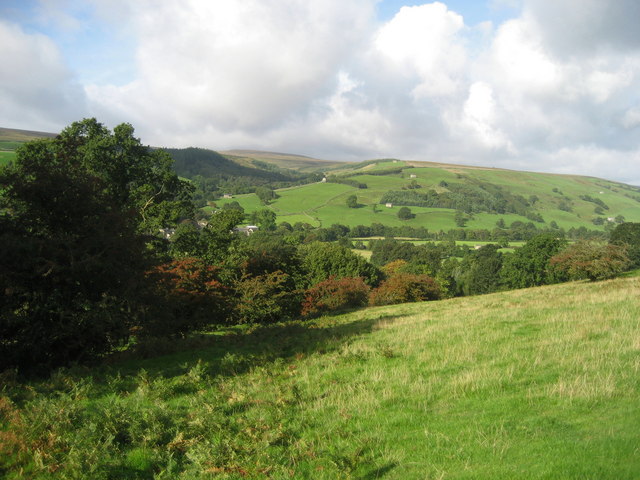
Nidderdale, historically also known as Netherdale, is one of the Yorkshire Dales (although outside the Yorkshire Dales National Park) in North Yorkshire, England. It is the upper valley of the River Nidd, which flows south underground and then along the dale, forming several reservoirs including the Gouthwaite Reservoir, before turning east and eventually joining the River Ouse. The only town in the dale is Pateley Bridge. Other settlements include Wath, Ramsgill, Lofthouse, and Middlesmoor above Pateley Bridge, and Bewerley, Glasshouses, Summerbridge, Dacre, Darley, Birstwith, Hampsthwaite and Kettlesing below Pateley. Area of Outstanding Natural Beauty Nidderdale was designated an Area of Outstanding Natural Beauty in 1994. The AONB covers a much wider area than Nidderdale. In addition to Nidderdale itself (above Hampsthwaite), the AONB includes part of lower Wharfedale, the Washburn valley and part of lower Wensleydale, including Jervaulx Abbey and the side v ... [...More Info...] [...Related Items...] OR: [Wikipedia] [Google] [Baidu] |
Newbury, Berkshire
Newbury is a market town in the county of Berkshire, England, and is home to the administrative headquarters of West Berkshire Council. The town centre around its large market square retains a rare medieval Cloth Hall, an adjoining half timbered granary, and the 15th-century St Nicolas Church, along with 17th- and 18th-century listed buildings. As well as being home to Newbury Racecourse, it is the headquarters of Vodafone and software company Micro Focus International. In the valley of the River Kennet, south of Oxford, north of Winchester, southeast of Swindon and west of Reading. Newbury lies on the edge of the Berkshire Downs; part of the North Wessex Downs Area of outstanding natural beauty, north of the Hampshire-Berkshire county boundary. In the suburban village of Donnington lies the part-ruined Donnington Castle and the surrounding hills are home to some of the country's most famous racehorse training grounds (centred on nearby Lambourn). To the south is a narro ... [...More Info...] [...Related Items...] OR: [Wikipedia] [Google] [Baidu] |
Countryside Books
In general, a rural area or a countryside is a geographic area that is located outside towns and cities. Typical rural areas have a low population density and small settlements. Agricultural areas and areas with forestry typically are described as rural. Different countries have varying definitions of ''rural'' for statistical and administrative purposes. In rural areas, because of their unique economic and social dynamics, and relationship to land-based industry such as agriculture, forestry and resource extraction, the economics are very different from cities and can be subject to boom and bust cycles and vulnerability to extreme weather or natural disasters, such as droughts. These dynamics alongside larger economic forces encouraging to urbanization have led to significant demographic declines, called rural flight, where economic incentives encourage younger populations to go to cities for education and access to jobs, leaving older, less educated and less wealthy populati ... [...More Info...] [...Related Items...] OR: [Wikipedia] [Google] [Baidu] |
Listed Building
In the United Kingdom, a listed building or listed structure is one that has been placed on one of the four statutory lists maintained by Historic England in England, Historic Environment Scotland in Scotland, in Wales, and the Northern Ireland Environment Agency in Northern Ireland. The term has also been used in the Republic of Ireland, where buildings are protected under the Planning and Development Act 2000. The statutory term in Ireland is " protected structure". A listed building may not be demolished, extended, or altered without special permission from the local planning authority, which typically consults the relevant central government agency, particularly for significant alterations to the more notable listed buildings. In England and Wales, a national amenity society must be notified of any work to a listed building which involves any element of demolition. Exemption from secular listed building control is provided for some buildings in current use for worship, ... [...More Info...] [...Related Items...] OR: [Wikipedia] [Google] [Baidu] |
Byland Abbey
Byland Abbey is a ruined abbey and a small village in the Ryedale district of North Yorkshire, England, in the North York Moors National Park. History It was founded as a Savigniac abbey in January 1135 and was absorbed by the Cistercian order in 1147. It was not an easy start for the community which had had to move five times before settling at New Byland, near Coxwold in 1177. Its early history was marked by disputes with no fewer than four other religious establishments: Furness Abbey, Calder Abbey, Rievaulx Abbey and Newburgh Priory. However, once it had overcome these setbacks, it was described, in the late 14th century, as "one of the three shining lights of the north". Its financial success was not as great as such abbeys as Rievaulx, but it was famed for its sheep rearing and wool exports. Its church was said to be among the finest 12th-century churches in Europe. In October 1322, King Edward II was at Byland Abbey when the Battle of Old Byland took place. The maraudin ... [...More Info...] [...Related Items...] OR: [Wikipedia] [Google] [Baidu] |
Harrogate (borough)
The Borough of Harrogate is a local government district with borough status in North Yorkshire, England. Its population at the census of 2011 was 157,869. Its council is based in the town of Harrogate, but it also includes surrounding towns and villages. This includes the cathedral city of Ripon and almost all of the Nidderdale Area of Outstanding Natural Beauty. The district was formed on 1 April 1974, under the Local Government Act 1972, as a merger of the Masham and Wath rural districts, and part of Thirsk, from the North Riding of Yorkshire, along with the boroughs of Harrogate and the city of Ripon, the Knaresborough urban district, Nidderdale Rural District, Ripon and Pateley Bridge Rural District, part of Wetherby Rural District and part of Wharfedale Rural District, all in the West Riding of Yorkshire. The district is part of the Leeds City Region, and borders seven other areas; the Craven, Richmondshire, Hambleton, Selby and York districts in North Yorkshire and th ... [...More Info...] [...Related Items...] OR: [Wikipedia] [Google] [Baidu] |


