|
Railroad Pass (British Columbia)
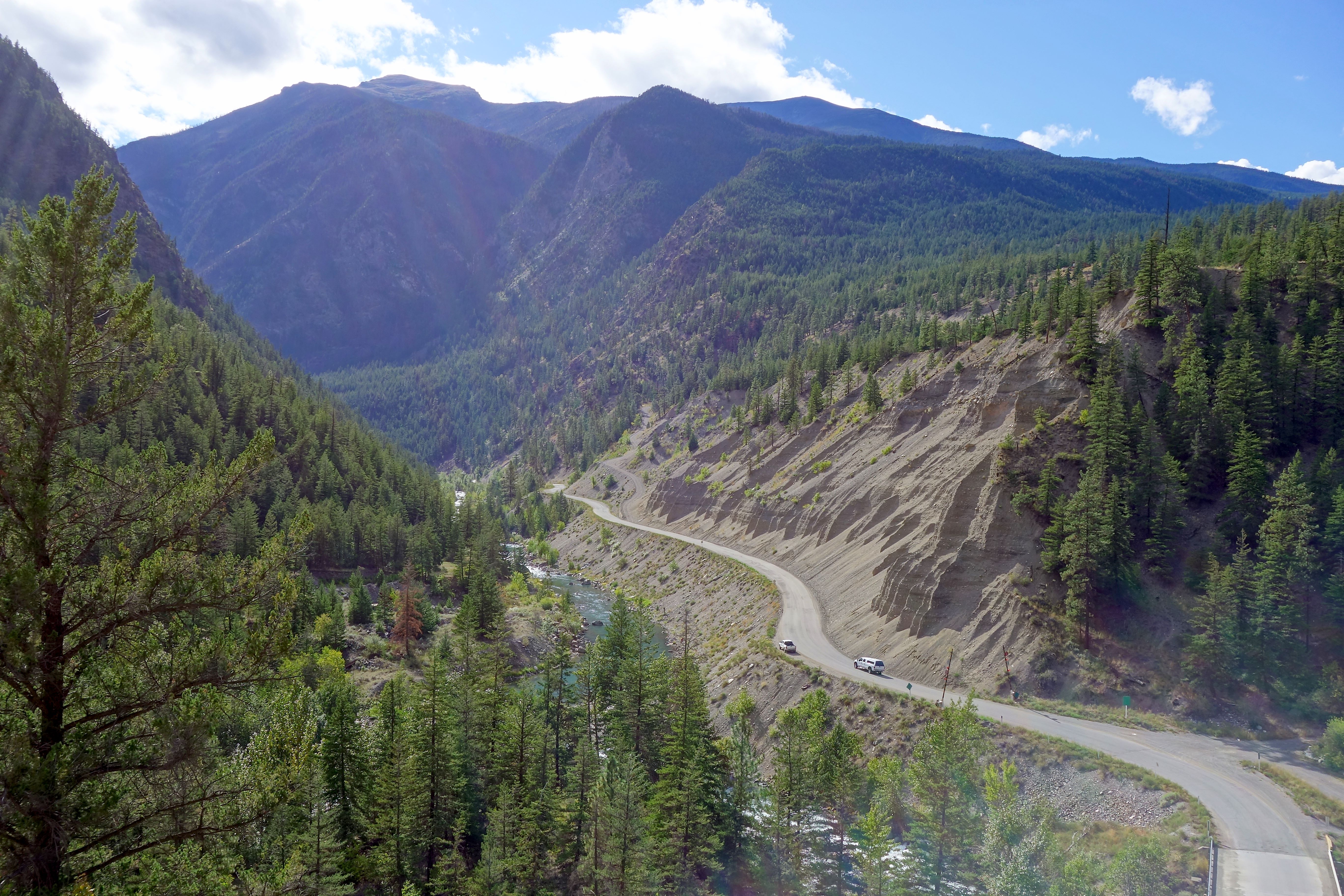
Railroad Pass, 1385 m (4544 ft), usually known locally as Railway Pass, is a mountain pass in the Pacific Ranges of the Coast Mountains in southwestern British Columbia, Canada. Traversed by a seasonal dirt road known as the Hurley Main and sometimes also referred to therefore as Hurley Pass, the pass connects the Pemberton Meadows area of the upper valley of the Lillooet River, via Railroad Creek, to the uppermost reaches of the Hurley River, the main south fork of the Bridge River which the Hurley joins at the settlement of Gold Bridge. Railroad Pass gets its name from its potential as a possible route for a railway through the Coast Mountains although no formal record of such a survey exists. The Canadian Pacific Survey went through this area, but records only exist of survey parties attempting Ring Pass, at the head of the Lillooet River, and the divide between Meager Creek and Toba Inlet, as well as the southerly route since used by the Pacific Great Eastern, now a ... [...More Info...] [...Related Items...] OR: [Wikipedia] [Google] [Baidu] |
Mountain Pass
A mountain pass is a navigable route through a mountain range or over a ridge. Since many of the world's mountain ranges have presented formidable barriers to travel, passes have played a key role in trade, war, and both Human migration, human and animal migration throughout history. At lower elevations it may be called a hill pass. A mountain pass is typically formed between two volcanic peaks or created by erosion from water or wind. Overview Mountain passes make use of a gap (landform), gap, saddle (landform), saddle, col or notch (landform), notch. A topographic saddle is analogous to the mathematical concept of a saddle surface, with a saddle point marking the highest point between two valleys and the lowest point along a ridge. On a topographic map, passes are characterized by contour lines with an hourglass shape, which indicates a low spot between two higher points. In the high mountains, a difference of between the summit and the mountain is defined as a mountain pas ... [...More Info...] [...Related Items...] OR: [Wikipedia] [Google] [Baidu] |
Toba Inlet
, image = Toba Inlet.jpg , image_size = 280px , alt = , caption = Looking southwest toward the mouth of Toba Inlet , image_bathymetry = Carte baies Desolation et Bute.svg , alt_bathymetry = , caption_bathymetry = Toba Inlet extends northeast from East Redonda Island , location = Strathcona RD, British Columbia , group = , coordinates = , type = Fjord , etymology = , part_of = , inflow = Toba River , rivers = , outflow = Pryce Channel, Homfray Channel , oceans = , catchment = , basin_countries = , agency = , designation = , date-built = , engineer = , date-flooded = , length = , width = , area = , depth = , max-depth = , volume = , residence_ ... [...More Info...] [...Related Items...] OR: [Wikipedia] [Google] [Baidu] |
Bridge River Country
The Bridge River Country is a historic geographic region and mining district in the Interior of British Columbia, Canada, lying between the Fraser Canyon and the valley of the Lillooet River, south of the Chilcotin Plateau and north of the Lillooet Ranges. "The Bridge River" can mean the Bridge River Country as opposed to the Bridge River itself, and is considered to be part of the Lillooet Country, but has a distinct history and identity within the larger region. As Lillooet is sometimes considered to be the southwest limit of the Cariboo, some efforts were made to refer to the Bridge River as the "West Cariboo" but this never caught on. Though essentially consisting of the basin of the Bridge River and its tributaries, the Bridge River Country includes the communities of D'Arcy, McGillivray Falls, Seton Portage and Shalalth, which lie in the valley of Seton and Anderson Lakes and the Gates River just to the south, are also considered to be part of the Bridge River Country, and als ... [...More Info...] [...Related Items...] OR: [Wikipedia] [Google] [Baidu] |
Mountain Passes Of British Columbia
A mountain is an elevated portion of the Earth's crust, generally with steep sides that show significant exposed bedrock. Although definitions vary, a mountain may differ from a plateau in having a limited summit area, and is usually higher than a hill, typically rising at least 300 metres (1,000 feet) above the surrounding land. A few mountains are isolated summits, but most occur in mountain ranges. Mountains are formed through tectonic forces, erosion, or volcanism, which act on time scales of up to tens of millions of years. Once mountain building ceases, mountains are slowly leveled through the action of weathering, through slumping and other forms of mass wasting, as well as through erosion by rivers and glaciers. High elevations on mountains produce colder climates than at sea level at similar latitude. These colder climates strongly affect the ecosystems of mountains: different elevations have different plants and animals. Because of the less hospitable terrain and ... [...More Info...] [...Related Items...] OR: [Wikipedia] [Google] [Baidu] |
Handcar Peak
Handcar Peak is a mountain summit located in the Railroad Group of the Coast Mountains, in the Pemberton Valley of southwestern British Columbia, Canada. It is situated northwest of Pemberton and west of Locomotive Mountain. Precipitation runoff from the peak drains into Sampson Creek and Buck Creek which are both tributaries of the Lillooet River. Handcar Peak is more notable for its steep rise above local terrain than for its absolute elevation as topographic relief is significant with the summit rising over 2,050 meters (6,725 ft) above Lillooet River and Pemberton Valley in approximately . The mountain's name was proposed in 1978 by mountaineer Karl Ricker of the Alpine Club of Canada, in association with Railroad Pass, Railroad Creek and other railroad-related names of the immediate vicinity. The toponym was officially adopted January 23, 1979, by the Geographical Names Board of Canada. __NOTOC__ Climate Based on the Köppen climate classification, Handcar Peak i ... [...More Info...] [...Related Items...] OR: [Wikipedia] [Google] [Baidu] |
Locomotive Mountain
Locomotive Mountain is a mountain summit located in the Railroad Group of the Coast Mountains, in the Pemberton Valley of southwestern British Columbia, Canada. It is situated northwest of Pemberton, east of Handcar Peak, and south of Face Mountain, which is the nearest higher neighbor. Precipitation runoff from the peak drains into tributaries of the Fraser River. The mountain's name was proposed in 1978 by mountaineer Karl Ricker of the Alpine Club of Canada, in association with Railroad Pass, Railroad Creek, and other railroad-related names of the immediate vicinity. The toponym was officially adopted January 23, 1979, by the Geographical Names Board of Canada. __NOTOC__ Climate Based on the Köppen climate classification, Locomotive Mountain is located in a subarctic climate zone of western North America. Most weather fronts originate in the Pacific Ocean, and travel east toward the Coast Mountains where they are forced upward by the range (Orographic lift), causing them ... [...More Info...] [...Related Items...] OR: [Wikipedia] [Google] [Baidu] |
Railroad Group
Rail transport (also known as train transport) is a means of transport that transfers passengers and goods on wheeled vehicles running on rails, which are incorporated in tracks. In contrast to road transport, where the vehicles run on a prepared flat surface, rail vehicles (rolling stock) are directionally guided by the tracks on which they run. Tracks usually consist of steel rails, installed on sleepers (ties) set in ballast, on which the rolling stock, usually fitted with metal wheels, moves. Other variations are also possible, such as "slab track", in which the rails are fastened to a concrete foundation resting on a prepared subsurface. Rolling stock in a rail transport system generally encounters lower frictional resistance than rubber-tyred road vehicles, so passenger and freight cars (carriages and wagons) can be coupled into longer trains. The operation is carried out by a railway company, providing transport between train stations or freight customer faciliti ... [...More Info...] [...Related Items...] OR: [Wikipedia] [Google] [Baidu] |
Cayoosh Pass
Cayoosh Pass (1,275 m / 4,183 ft) is a mountain pass in the Lillooet Ranges of the Pacific Ranges of the southern Coast Mountains in British Columbia, Canada. It lies just west of Duffey Lake on BC Highway 99 between the towns of Lillooet and Pemberton, formed by the headwaters of Cayoosh Creek to the east, flowing to the Fraser River at Lillooet, and Joffre Creek to the west, flowing steeply downhill to Lillooet Lake just southeast of the Mount Currie Indian Reserve. Cayoosh Pass and the valleys of Cayoosh and Joffre Creeks form the southern boundary of the Cayoosh Range, a subrange of the Lillooet Ranges. Long known to the St'at'imc and Lil'wat peoples whose territories include it, the pass was first traversed by a non-indigenous person when James Duffey, a.k.a. "Sapper Duffy" of the Royal Engineers, investigated the route in 1859–1860 during a resurvey and reconstruction of the Douglas Road, the route of which passed the Joffre Creek foot of the pass and followed th ... [...More Info...] [...Related Items...] OR: [Wikipedia] [Google] [Baidu] |
Whistler, British Columbia
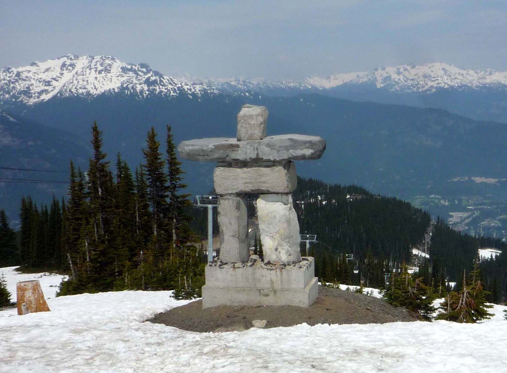
Whistler ( Lillooet/Ucwalmícwts: Cwitima, ; Squamish/Sḵwx̱wú7mesh: Sḵwiḵw, ) is a resort municipality in Squamish-Lillooet Regional District, British Columbia, Canada. It is located in the southern Pacific Ranges of the Coast Mountains, approximately north of Vancouver and south of Pemberton. It has a permanent population of approximately 13,982 (2021), as well as a larger but rotating population of seasonal workers. Over two million people visit Whistler annually, primarily for alpine skiing and snowboarding and, in the summer, mountain biking at Whistler Blackcomb. Its pedestrian village has won numerous design awards, and Whistler has been voted among the top destinations in North America by major ski magazines since the mid-1990s. During the 2010 Winter Olympics, Whistler hosted most of the alpine, Nordic, luge, skeleton, and bobsled events. History The Whistler Valley is located around the pass between the headwaters of the Green River and the upper-mid ... [...More Info...] [...Related Items...] OR: [Wikipedia] [Google] [Baidu] |
British Columbia Provincial Highway 99
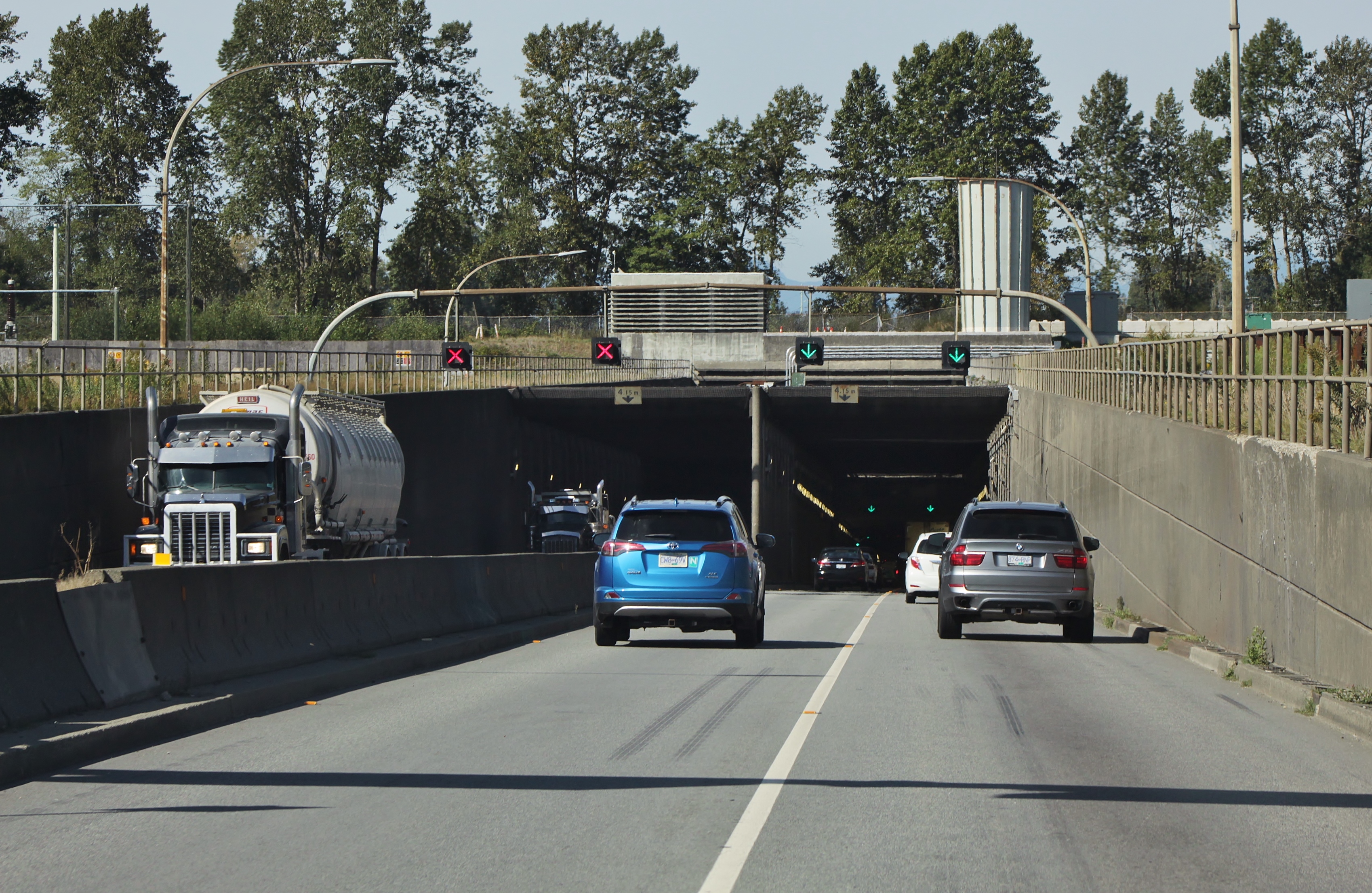
Highway 99 is a provincial highway in British Columbia that serves Greater Vancouver and the Squamish–Lillooet corridor over a length of . It is a major north–south artery within Vancouver and connects the city to several suburbs as well as the U.S. border, where it continues south as Interstate 5. The central section of the route, also known as the Sea to Sky Highway, serves the communities of Squamish, Whistler, and Pemberton. Highway 99 continues through Lillooet and ends at a junction with Highway 97 near Cache Creek. The highway's number, assigned in 1940, was derived from former U.S. Route 99, the predecessor to Interstate 5 and a major route for the U.S. West Coast. Highway 99 originally comprised the King George Highway in Surrey, portions of Kingsway from New Westminster to Vancouver, and local streets. It was extended across the Lions Gate Bridge and to Horseshoe Bay in the 1950s along a new highway that would later be incorporated into Highway 1 (the ... [...More Info...] [...Related Items...] OR: [Wikipedia] [Google] [Baidu] |
Canadian National Railway
The Canadian National Railway Company (french: Compagnie des chemins de fer nationaux du Canada) is a Canadian Class I freight railway headquartered in Montreal, Quebec, which serves Canada and the Midwestern and Southern United States. CN is Canada's largest railway, in terms of both revenue and the physical size of its rail network, spanning Canada from the Atlantic coast in Nova Scotia to the Pacific coast in British Columbia across approximately of track. In the late 20th century, CN gained extensive capacity in the United States by taking over such railroads as the Illinois Central. CN is a public company with 22,600 employees, and it has a market cap of approximately CA$90 billion. CN was government-owned, having been a Canadian Crown corporation from its founding in 1919 until being privatized in 1995. , Bill Gates is the largest single shareholder of CN stock, owning a 14.2% interest through Cascade Investment and his own Bill and Melinda Gates Foundation. Fr ... [...More Info...] [...Related Items...] OR: [Wikipedia] [Google] [Baidu] |
Pacific Great Eastern Railway
The Pacific Ocean is the largest and deepest of Earth's five oceanic divisions. It extends from the Arctic Ocean in the north to the Southern Ocean (or, depending on definition, to Antarctica) in the south, and is bounded by the continents of Asia and Oceania in the west and the Americas in the east. At in area (as defined with a southern Antarctic border), this largest division of the World Ocean—and, in turn, the hydrosphere—covers about 46% of Earth's water surface and about 32% of its total surface area, larger than Earth's entire land area combined .Pacific Ocean . '' Britannica Concise.'' 2008: Encyclopædia Britannica, Inc. The centers of both the |


.jpg)