|
Rabbit River (Liard)
Rabbit River may refer to several places: * Rabbit River (Michigan) * Rabbit River (Bois de Sioux), a river in Minnesota * Rabbit River (Mississippi River tributary), a river in Minnesota * Rabbit River, a tributary of the Liard River The Liard River of the North American boreal forest flows through Yukon, British Columbia and the Northwest Territories, Canada. Rising in the Saint Cyr Range of the Pelly Mountains in southeastern Yukon, it flows southeast through British Co ... in British Columbia See also * Rabbit Creek (other) {{geodis ... [...More Info...] [...Related Items...] OR: [Wikipedia] [Google] [Baidu] |
Rabbit River (Michigan)
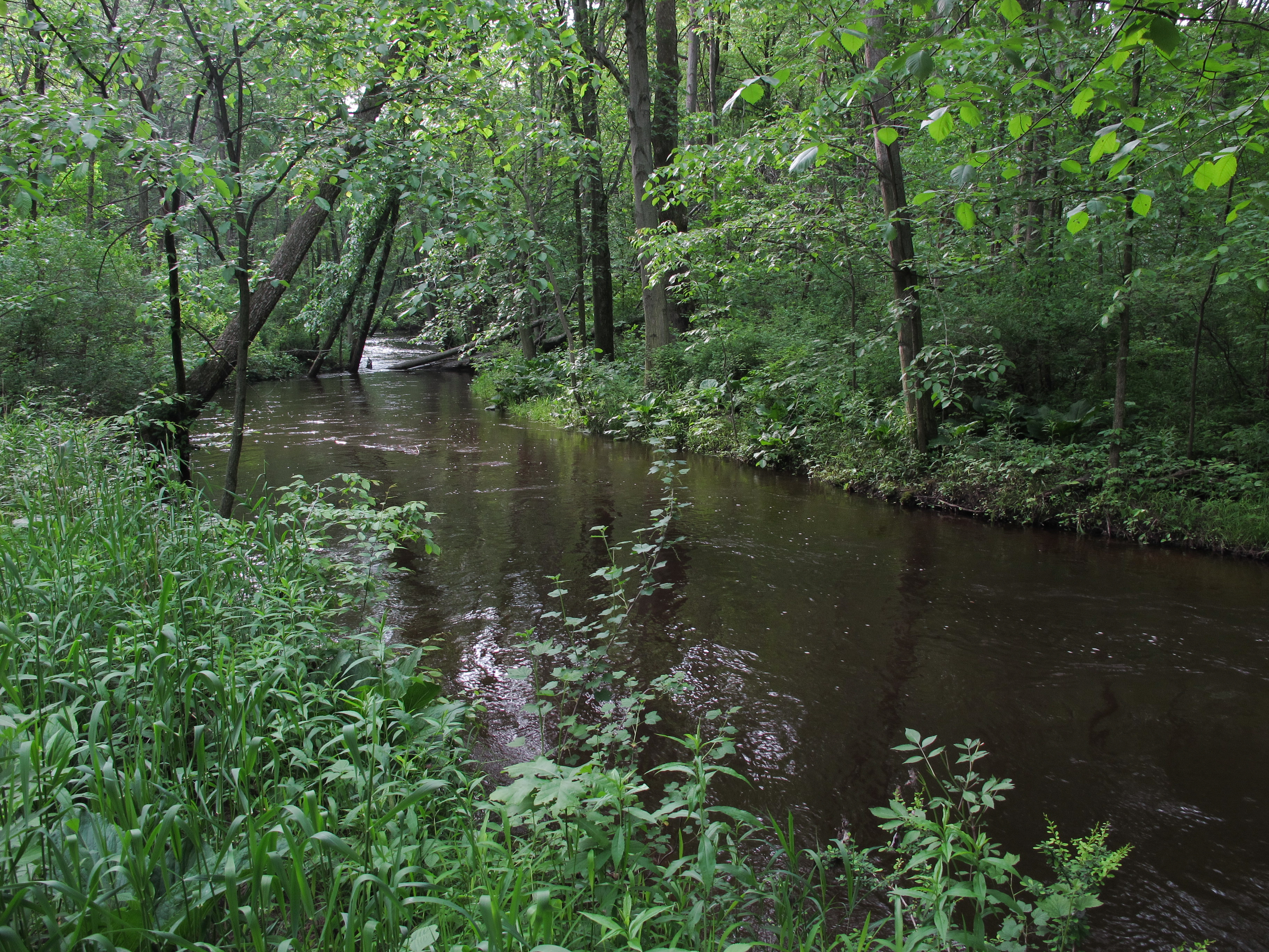
The Rabbit River is a U.S. Geological Survey. National Hydrography Dataset high-resolution flowline dataThe National Map accessed May 19, 2011 tributary of the Kalamazoo River within Allegan County in the U.S. state of Michigan. The river's watershed covers of land and drains most of north-central and northeast Allegan County as well as small portions of Barry, Kent and Ottawa counties. The river rises in farmland in the southeast portion of Leighton Township and flows generally westward, traversing the northern portion of Wayland Township, the city of Wayland, the northern portion of Hopkins Township, the extreme southwest corner of Dorr Township, Salem Township, Overisel Township, Heath Township, Hamilton, and Manlius Township, where it merges with the Kalamazoo near New Richmond. Tributaries Main tributaries are (from east to west): *Green Lake Creek *Buskirk Creek *Miller Creek (Hopkins Township) *Bear Creek *Little Rabbit River *Black Creek *Miller Creek (Montere ... [...More Info...] [...Related Items...] OR: [Wikipedia] [Google] [Baidu] |
Rabbit River (Bois De Sioux)
The Rabbit River is a U.S. Geological Survey. National Hydrography Dataset high-resolution flowline dataThe National Map accessed June 8, 2011 tributary of the Bois de Sioux River of Minnesota in the United States. Via the Bois de Sioux River, Red River of the North, Lake Winnipeg, and the Nelson River, it is part of the Hudson Bay watershed. The river was named for the varying hare, which is common in the area. See also *List of rivers of Minnesota Minnesota has 6,564 natural rivers and streams that cumulatively flow for . The Mississippi River begins its journey from its headwaters at Lake Itasca and crosses the Iowa border downstream. It is joined by the Minnesota River at Fort Snellin ... References Minnesota Watersheds* *USGS Hydrologic Unit Map - State of Minnesota (1974) Rivers of Wilkin County, Minnesota Rivers of Grant County, Minnesota Rivers of Otter Tail County, Minnesota Rivers of Minnesota Tributaries of Hudson Bay {{Minnesota-river-stub ... [...More Info...] [...Related Items...] OR: [Wikipedia] [Google] [Baidu] |
Rabbit River (Mississippi River Tributary)
The Rabbit River is an U.S. Geological Survey. National Hydrography Dataset high-resolution flowline dataThe National Map accessed December 26, 2012 tributary of the Mississippi River in northern Minnesota, United States. It rises at the outlet of Rabbit Lake, north of Crosby, and flows southwest through a chain of lakes past Ironton, joining the Mississippi River at the outlet of Little Rabbit Lake northwest of Riverton. See also *List of rivers of Minnesota Minnesota has 6,564 natural rivers and streams that cumulatively flow for . The Mississippi River begins its journey from its headwaters at Lake Itasca and crosses the Iowa border downstream. It is joined by the Minnesota River at Fort Snellin ... References External linksMinnesota Watersheds*USGS Hydrologic Unit Map - State of Minnesota (1974) Rivers of Minnesota Tributaries of the Mississippi River Rivers of Crow Wing County, Minnesota {{Minnesota-river-stub ... [...More Info...] [...Related Items...] OR: [Wikipedia] [Google] [Baidu] |
Liard River
The Liard River of the North American boreal forest flows through Yukon, British Columbia and the Northwest Territories, Canada. Rising in the Saint Cyr Range of the Pelly Mountains in southeastern Yukon, it flows southeast through British Columbia, marking the northern end of the Rocky Mountains and then curving northeast back into Yukon and Northwest Territories, draining into the Mackenzie River at Fort Simpson, Northwest Territories. The river drains approximately of boreal forest and muskeg. Geography The river habitats are a subsection of the Lower Mackenzie Freshwater Ecoregion. The area around the river in Yukon is called the ''Liard River Valley'', and the Alaska Highway follows the river for part of its route. This surrounding area is also referred to as the ''Liard Plain'', and is a physiographic section of the larger Yukon–Tanana Uplands province, which in turn is part of the larger Intermontane Plateaus physiographic division. The Liard River is a crossing ar ... [...More Info...] [...Related Items...] OR: [Wikipedia] [Google] [Baidu] |

