|
R569 Road (Ireland)
The R569 road is a regional road in County Kerry, Ireland. It travels from the N71 road at Kenmare to the N22, via the village of Kilgarvan Kilgarvan () is a small village in County Kerry, Ireland. It is situated on the banks of the Roughty River which flows into Kenmare Bay. By car, the village is a ten-minute trip from Kenmare, and thirty minutes from Killarney. History Kilgarva .... The road follows the course of the Roughty River for the greater part of its route. The R569 is long. References Regional roads in the Republic of Ireland Roads in County Kerry {{Ireland-road-stub ... [...More Info...] [...Related Items...] OR: [Wikipedia] [Google] [Baidu] |
IRL N71
IRL may refer to: Places * Republic of Ireland (ISO 3166-1 alpha-3 country code) * Irlam railway station (National Rail station code IRL), England Organizations * International Rugby League, the governing body for the sport of rugby league * Industrial Research Limited, New Zealand * Isamaa ja Res Publica Liit (Pro Patria and Res Publica Union), an Estonian political party * Institute for Research on Learning, Palo Alto, California, US, 1986–2000 * Institut Ramon Llull, promoting Catalan language and culture * Ipswich Rugby League, Australian rugby league football competition Other uses * ''IRL'' (film), a 2013 film * Indy Racing League 1995–2013, later INDYCAR * Internet resource locator * "In real life", internet term * In Real Life (band), boy band * Inverse reinforcement learning Reinforcement learning (RL) is an area of machine learning concerned with how intelligent agents ought to take actions in an environment in order to maximize the notion of cumu ... [...More Info...] [...Related Items...] OR: [Wikipedia] [Google] [Baidu] |
N71 Road (Ireland)
The N71 road is a national secondary road traversing counties Cork and Kerry in Ireland. Towns and villages along the route, westward from Cork city, include Innishannon, Bandon, Clonakilty, Skibbereen, Bantry and Glengarriff in County Cork. Continuing westwards from Glengarriff into County Kerry, the route passes Kenmare and terminates at Killarney. Road standard The road is mostly single carriageway, with wider sections towards the Cork end of the route. There are wide sections with climbing/passing lanes, including a rare configuration with a passing lane on both sides, and a dual carriageway section approaching Cork. As of the early 21st century, there were plans to construct a dual carriageway along the section of roadway between the existing 1970s dual carriageway and the N40 South Ring Road in Cork. Improvements In the mid 1990s, a new section of road was constructed between Ballinhassig and Halfway, by-passing the village of Halfway. The older replaced section of th ... [...More Info...] [...Related Items...] OR: [Wikipedia] [Google] [Baidu] |
Kenmare
Kenmare () is a small town in the south of County Kerry, Ireland. The name Kenmare is the anglicised form of ''Ceann Mara'', meaning "head of the sea", referring to the head of Kenmare Bay. Location Kenmare is located at the head of Kenmare Bay (where it reaches the farthest inland), sometimes called the Kenmare River, where the Roughty River (''An Ruachtach'') flows into the sea, and at the junction of the Iveragh Peninsula and the Beara Peninsula. The traditional Irish name of the bay was ''Inbhear Scéine'' from the Celtic ''inver'', which is recorded in the 11th Century narrative ''Lebor Gabála Érenn'' as the arrival point of the mythological Irish ancestor Partholón. It is also located near the MacGillycuddy's Reeks, Mangerton Mountain and Caha Mountains and is a popular hillwalking destination. Nearby towns and villages are Tuosist, Ardgroom, Glengarriff, Kilgarvan, Killarney, Templenoe and Sneem. Kenmare is in the Kerry constituency of Dáil Éireann. History Th ... [...More Info...] [...Related Items...] OR: [Wikipedia] [Google] [Baidu] |
County Kerry
County Kerry ( gle, Contae Chiarraí) is a county in Ireland. It is located in the South-West Region and forms part of the province of Munster. It is named after the Ciarraige who lived in part of the present county. The population of the county was 155,258 at the 2022 census, A popular tourist destination, Kerry's geography is defined by the MacGillycuddy's Reeks mountains, the Dingle, Iveragh and Beara peninsulas, and the Blasket and Skellig islands. It is bordered by County Limerick to the north-east and Cork County to the south and south-east. Geography and subdivisions Kerry is the fifth-largest of Ireland's 32 traditional counties by area and the 16th-largest by population. It is the second-largest of Munster's six counties by area, and the fourth-largest by population. Uniquely, it is bordered by only two other counties: County Limerick to the east and County Cork to the south-east. The county town is Tralee although the Catholic diocesan seat is Killarney, whi ... [...More Info...] [...Related Items...] OR: [Wikipedia] [Google] [Baidu] |
IRL N22
IRL may refer to: Places * Republic of Ireland (ISO 3166-1 alpha-3 country code) * Irlam railway station (National Rail station code IRL), England Organizations * International Rugby League, the governing body for the sport of rugby league * Industrial Research Limited, New Zealand * Isamaa ja Res Publica Liit (Pro Patria and Res Publica Union), an Estonian political party * Institute for Research on Learning, Palo Alto, California, US, 1986–2000 * Institut Ramon Llull, promoting Catalan language and culture * Ipswich Rugby League, Australian rugby league football competition Other uses * ''IRL'' (film), a 2013 film * Indy Racing League 1995–2013, later INDYCAR * Internet resource locator * "In real life", internet term * In Real Life (band), boy band * Inverse reinforcement learning Reinforcement learning (RL) is an area of machine learning concerned with how intelligent agents ought to take actions in an environment in order to maximize the notion of cumulative re ... [...More Info...] [...Related Items...] OR: [Wikipedia] [Google] [Baidu] |
N22 Road (Ireland)
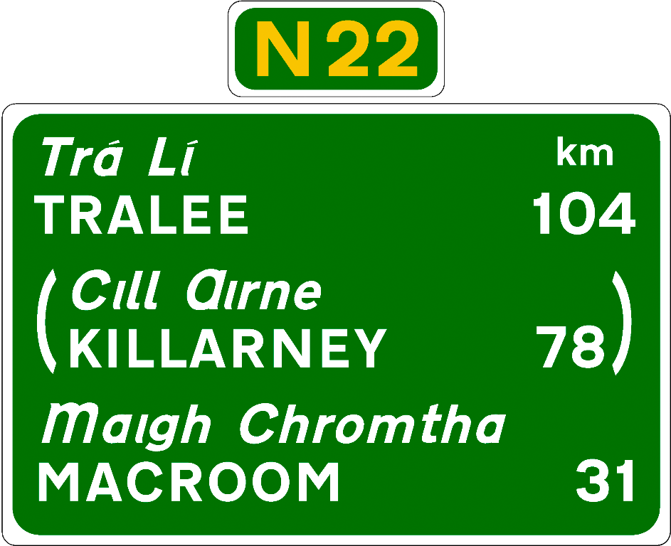
The N22 road is a national primary road in Ireland which goes through counties Kerry and Cork, from Tralee in the west through Killarney, Macroom and Ballincollig to Cork City in the east. Improvements Sections of the N22 were upgraded in the late 20th and early 21st century. During the 1980s and 1990s, a section between Killarney and the border with County Cork was rebuilt and widened. An auxiliary climbing lane has been provided on the steep grade sections. The late 1980s saw a bypass of Killarney. In 2004, the Ballincollig bypass west of Cork city was completed. This is an dual carriageway road built to Motorway standards that connects with the N40 Cork South Ring Road. In 2005, of the road between Tralee and Farranfore was upgraded. This added to a section opened in 2002. In August 2013, a new section of road was added as part of the Tralee N22/ N69 bypass project at Ballingrelagh replacing the section of road where the N22 originally ended at the N21 John ... [...More Info...] [...Related Items...] OR: [Wikipedia] [Google] [Baidu] |
Kilgarvan Mural - Geograph
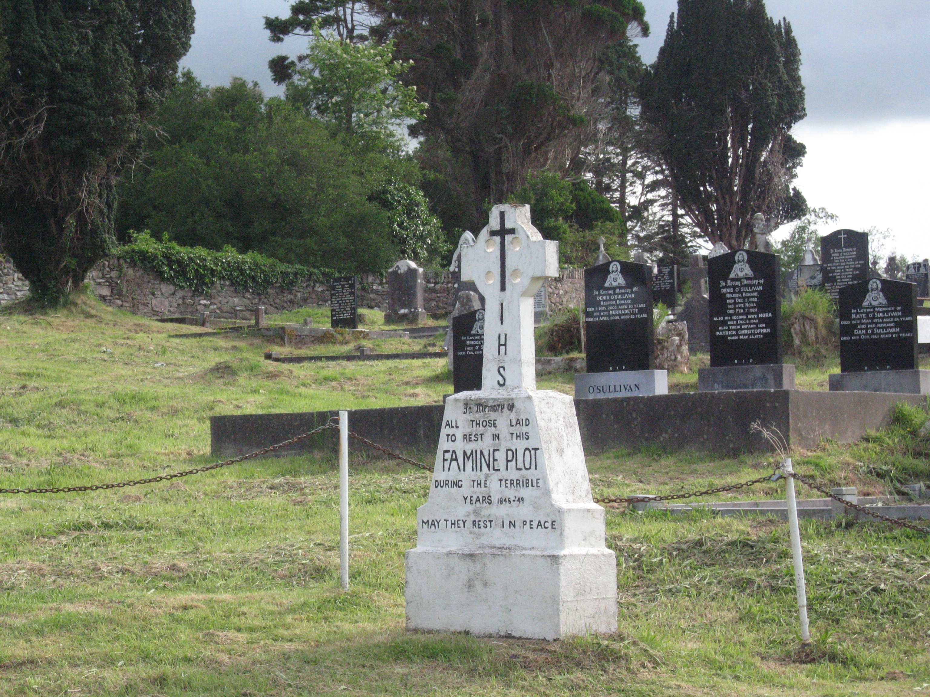
Kilgarvan () is a small village in County Kerry, Ireland. It is situated on the banks of the Roughty River which flows into Kenmare Bay. By car, the village is a ten-minute trip from Kenmare, and thirty minutes from Killarney. History Kilgarvan is a village in southeast County Kerry near the Cork boundary. Kilgarvan was the site of the Battle of Callann in 1261 which reduced Norman power in Ireland for almost 300 years. The battle site is located in the townland of Callann (pronounced Collon). Nearby the town are the ruins of "Ardtully House". This house was built in a castle style by the wealthy landowner Sir Richard John Theodore Orpen (1788-1876), Knight of Ardtully, in 1847. It replaced a number of earlier structures, dating as far back as 1215. It was associated with a number of families including Carew, McCarthy, Dillon, Babbington and Conway. Only ruins remain as it was burned down in 1921 during the Irish War of Independence. Directions on how to find the Castle are pai ... [...More Info...] [...Related Items...] OR: [Wikipedia] [Google] [Baidu] |
Regional Road (Ireland)
A regional road ( ga, bóthar réigiúnach) in the Republic of Ireland is a class of road not forming a major route (such as a national primary road or national secondary road), but nevertheless forming a link in the Roads in Ireland, national route network. There are over 11,600 kilometres (7,200 miles) of regional roads. Regional roads are numbered with three-digit route numbers, prefixed by "R" (e.g. R105). The equivalent road category in Northern Ireland are Roads in Northern Ireland#"B" roads, B roads. History Until 1977, classified roads in the Republic of Ireland were designated with one of two prefixes: Trunk Roads in Ireland, "T" for Trunk Roads and "L" for Link Roads. ThLocal Government (Roads and Motorways) Act authorised the designation of roads as National roads: in 1977, twenty-five National Primary roads (N1-N25) and thirty-three National Secondary roads (N51-N83) were initially designated unde Many of the remaining classified roads became Regional roads (formally ... [...More Info...] [...Related Items...] OR: [Wikipedia] [Google] [Baidu] |
Kilgarvan
Kilgarvan () is a small village in County Kerry, Ireland. It is situated on the banks of the Roughty River which flows into Kenmare Bay. By car, the village is a ten-minute trip from Kenmare, and thirty minutes from Killarney. History Kilgarvan is a village in southeast County Kerry near the Cork boundary. Kilgarvan was the site of the Battle of Callann in 1261 which reduced Norman power in Ireland for almost 300 years. The battle site is located in the townland of Callann (pronounced Collon). Nearby the town are the ruins of "Ardtully House". This house was built in a castle style by the wealthy landowner Sir Richard John Theodore Orpen (1788-1876), Knight of Ardtully, in 1847. It replaced a number of earlier structures, dating as far back as 1215. It was associated with a number of families including Carew, McCarthy, Dillon, Babbington and Conway. Only ruins remain as it was burned down in 1921 during the Irish War of Independence. Directions on how to find the Castle are pai ... [...More Info...] [...Related Items...] OR: [Wikipedia] [Google] [Baidu] |
Regional Roads In The Republic Of Ireland
In geography, regions, otherwise referred to as zones, lands or territories, are areas that are broadly divided by physical characteristics (physical geography), human impact characteristics (human geography), and the interaction of humanity and the environment (environmental geography). Geographic regions and sub-regions are mostly described by their imprecisely defined, and sometimes transitory boundaries, except in human geography, where jurisdiction areas such as national borders are defined in law. Apart from the global continental regions, there are also hydrospheric and atmospheric regions that cover the oceans, and discrete climates above the land and water masses of the planet. The land and water global regions are divided into subregions geographically bounded by large geological features that influence large-scale ecologies, such as plains and features. As a way of describing spatial areas, the concept of regions is important and widely used among the many branches of ... [...More Info...] [...Related Items...] OR: [Wikipedia] [Google] [Baidu] |

_2.jpg)


