|
Queanbeyan Parish
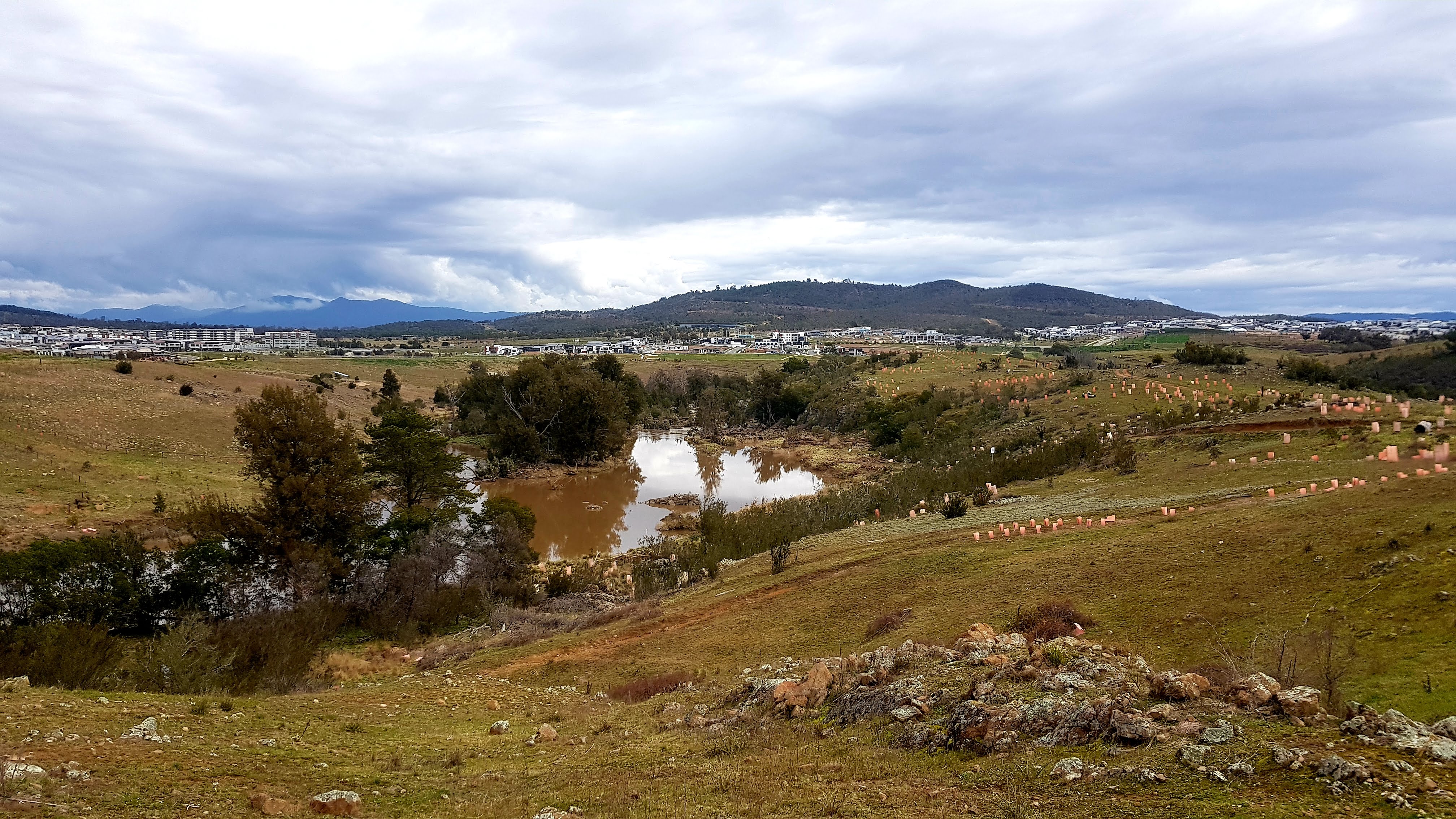
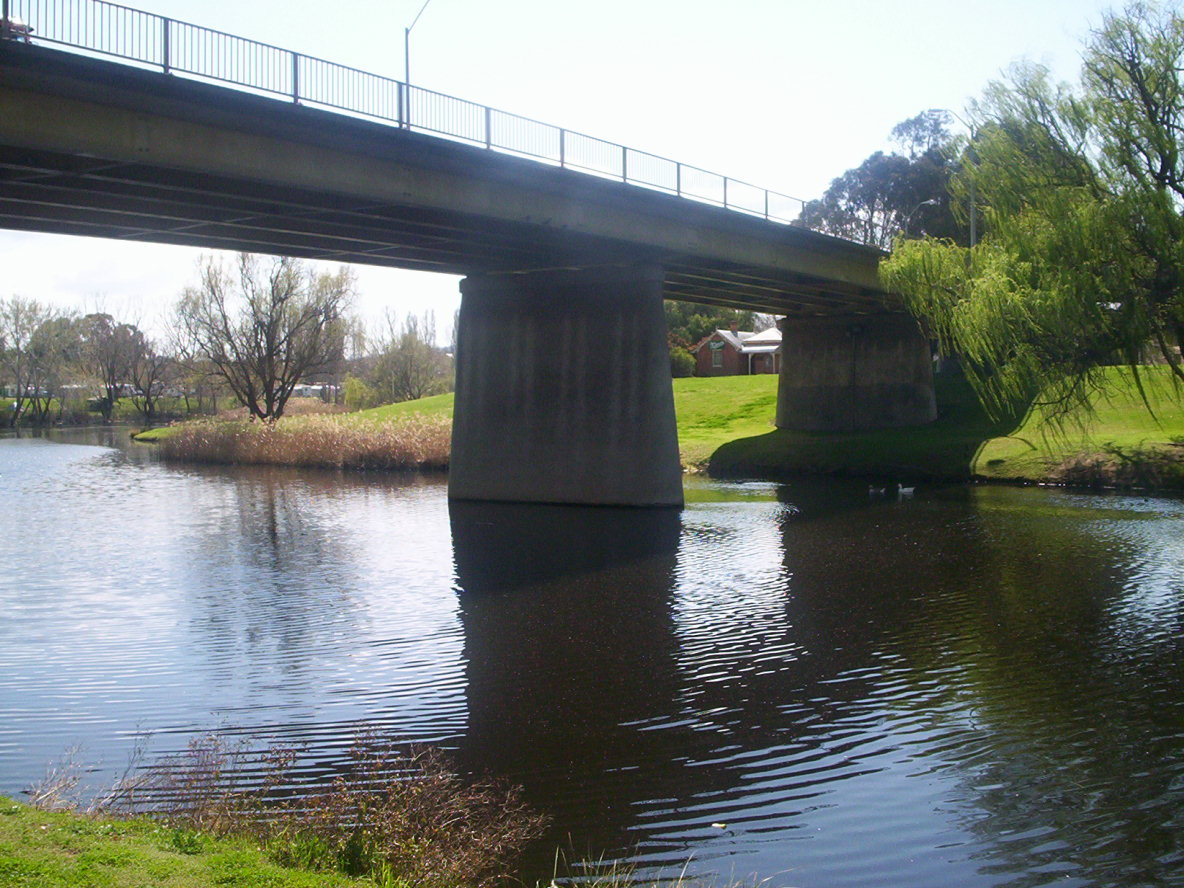
Queanbeyan Parish is a parish of Murray County, New South Wales, a cadastral unit for use on land titles. It covers the city of Queanbeyan. It was originally bounded by the Molonglo River to the north, but is now bounded by the NSW-ACT border in the north and west. Parts of the western area of the parish were transferred to the Australian Capital Territory in 1909, including what are now the Canberra suburbs of Fyshwick, Narrabundah, Kingston, Oaks Estate Oaks Estate is a township situated immediately on the northern side of the Australian Capital Territory border abutting the township of Queanbeyan in south-eastern New South Wales, Australia. The estate covers an area of approximately 40 hectares ..., Harman and part of Hume. ReferencesDraft assessment of crown land at Queanbeyan, Parish of Queanbeyan [...More Info...] [...Related Items...] OR: [Wikipedia] [Google] [Baidu] |
Commonwealth Of Australia
Australia, officially the Commonwealth of Australia, is a sovereign country comprising the mainland of the Australian continent, the island of Tasmania, and numerous smaller islands. With an area of , Australia is the largest country by area in Oceania and the world's sixth-largest country. Australia is the oldest, flattest, and driest inhabited continent, with the least fertile soils. It is a megadiverse country, and its size gives it a wide variety of landscapes and climates, with deserts in the centre, tropical rainforests in the north-east, and mountain ranges in the south-east. The ancestors of Aboriginal Australians began arriving from south east Asia approximately 65,000 years ago, during the last ice age.religious_traditions_in_the_world._Australia's_history_of_Australia.html" ;"title="The_Dreaming.html" ;"title="Aboriginal_Art.html" "title="he Story of Australia's People, Volume 1: The Rise and Fall of Ancient Australia, Penguin Books Australia Ltd., Vic., ... [...More Info...] [...Related Items...] OR: [Wikipedia] [Google] [Baidu] |
Land Titles
Land registration is any of various systems by which matters concerning ownership, possession, or other rights in land are formally recorded (usually with a government agency or department) to provide evidence of title, facilitate transactions, and prevent unlawful disposal. The information recorded and the protection provided by land registration varies widely by jurisdiction. In common law countries, particularly in jurisdictions in the Commonwealth of Nations, when replacing the deeds registration system, title registrations are broadly classified into two basic types: the Torrens title system and the English system, a modified version of the Torrens system.Lyall, Andrew. ''Land Law in Ireland''. ; Ch. 24 Cadastral systems and land registration are both types of land recording and complement each other.Jo Henssen, BASIC PRINCIPLES OF THE MAIN CADASTRAL SYSTEMS IN THE WORLD, Implementations Americas Canada Falkland Islands The Falkland Islands registry holds copies of ... [...More Info...] [...Related Items...] OR: [Wikipedia] [Google] [Baidu] |
Hume, Australian Capital Territory
Hume is a suburb of Canberra in the Jerrabomberra (district), District of Jerrabomberra. The suburb is named after the explorer Hamilton Hume and streets are named after Australian industrialists and businessmen. Hume is a light-industrial suburb and there is no significant housing development. At the , Hume had a population of 395, up from six in 2006, as a result of the construction of the Alexander Maconochie Centre. The location of the prison has also given Hume a highly unusual gender ratio with 92.7% of the permanent population being male. Geology Deakin Volcanics from the Silurian period underlie Hume. Cream and purple rhyodacite are found in the south and including Tralee, New South Wales. A mixture of purple and green tuff, ashstone, shale, and coarse sandstone is in the north east. Coarse dark purple rhyodacite is in the north end near Queanbeyan turn off.Henderson G A M and Matveev G, Geology of Canberra, Queanbeyan and Environs 1:50000 1980. See also * Mugga Lane ... [...More Info...] [...Related Items...] OR: [Wikipedia] [Google] [Baidu] |
Oaks Estate, Australian Capital Territory
Oaks Estate is a township situated immediately on the northern side of the Australian Capital Territory border abutting the township of Queanbeyan in south-eastern New South Wales, Australia. The estate covers an area of approximately 40 hectares and is bound by the Molonglo River to the north, the Queanbeyan River to the east, 'The Oaks' to the west, and the Queanbeyan-Cooma railway to the south. Oaks Estate is located 12 kilometres from the centre of Canberra. The village is also noteworthy as the nucleus of Queanbeyan's industrial development during the second half of the 19th century. Oaks Estate takes its name from 'The Oaks', which was part of Duntroon, Robert Campbell's farming estate.Monaro Consultants & Burnham Planning (2001), ''Oaks Estate Planning Study'', ACT Government This makes Oaks Estate one of only a few place names in the ACT with significant connections to early colonial times. History Colonial Timothy Beard, a pardoned convict and former innkeeper from ... [...More Info...] [...Related Items...] OR: [Wikipedia] [Google] [Baidu] |
Kingston, Australian Capital Territory
Kingston is the oldest and one of the most densely populated suburbs of Canberra, Australian Capital Territory, Australia. The suburb is named after Charles Cameron Kingston, the former Premier of South Australia and minister in the first Australian Commonwealth Government. It is adjacent to the suburbs of Barton, Fyshwick, Griffith and Manuka. The suburb of Kingston is situated about 4 km from the centre of Canberra. History In the early years of Canberra's development, Eastlake occupied the area now known as Kingston. Eastlake Football and Cricket club is one of the few reminders of Kingston long past. Eastlake was designated as a workers living quarters while the suburb of Forrest was reserved for middle and higher ranking public servants. About 120 portable wooden cottages for construction workers were built at the Causeway in 1925 and 1926. Canberra's first hall for community gatherings and entertainment was at the Causeway where the recreation hall was completed ... [...More Info...] [...Related Items...] OR: [Wikipedia] [Google] [Baidu] |
Narrabundah, Australian Capital Territory
Narrabundah () ( postcode: 2604) is a leafy, medium density suburb of Canberra, Australian Capital Territory, located in the inner south of the city. Narrabundah is an established garden suburb, valued for its equal proximity to both Civic and the airport, Lake Burley Griffin, and vibrant local centres such as Manuka and Kingston. Residents particularly value Narrabundah's environment including its open spaces, parks, playgrounds, bushland landscapes, as well as its strong sense of community and diversity. The suburb's streetscapes are characterised by mature deciduous and native street trees, charming established gardens and largely single-storey detached homes. Street trees in Narrabundah offer colourful spring blossoms and spectacular Autumn foliage in many streets. Finniss Crescent, Carnegie Crescent, Sprent and Stuart Streets are planted with fine examples of Pin Oaks, which have rich green foliage in Summer and colour brilliantly in shades of scarlet and crimson in Autum ... [...More Info...] [...Related Items...] OR: [Wikipedia] [Google] [Baidu] |
Fyshwick, Australian Capital Territory
Fyshwick () is a retail and light industrial suburb of Canberra, Australia, east of the South Canberra district. At the , Fyshwick had a population of 56. It has many motor vehicle dealers, stores selling home furnishings and hardware, and stores that sell goods wholesale. There are also some fast-food outlets. Fyshwick was also known for firework retailers before their 2009 ban from public purchase in the Australian Capital Territory (ACT). It was named after Sir Philip Fysh, a Tasmanian politician who assisted in bringing about Australia's Federation. The suffix "wick", from Old English, means "dwelling place"and, by extension, "village" or "district". Its streets are named after Australia's industrial towns and regionsfor example, Mount Isa is represented by Isa Street and Townsville is represented by Townsville Street. It is known for its adult entertainment industry. Fyshwick and Mitchell are the two places in the ACT where strip clubs and brothels may operate legally. ... [...More Info...] [...Related Items...] OR: [Wikipedia] [Google] [Baidu] |
Canberra
Canberra ( ) is the capital city of Australia. Founded following the federation of the colonies of Australia as the seat of government for the new nation, it is Australia's largest inland city and the eighth-largest city overall. The city is located at the northern end of the Australian Capital Territory at the northern tip of the Australian Alps, the country's highest mountain range. As of June 2021, Canberra's estimated population was 453,558. The area chosen for the capital had been inhabited by Indigenous Australians for up to 21,000 years, with the principal group being the Ngunnawal people. European settlement commenced in the first half of the 19th century, as evidenced by surviving landmarks such as St John's Anglican Church and Blundells Cottage. On 1 January 1901, federation of the colonies of Australia was achieved. Following a long dispute over whether Sydney or Melbourne should be the national capital, a compromise was reached: the new capital would be buil ... [...More Info...] [...Related Items...] OR: [Wikipedia] [Google] [Baidu] |
Molonglo River
The Molonglo River, a perennial river that is part of the Murrumbidgee catchment within the Murray–Darling basin, is located in the Monaro and Capital Country regions of New South Wales and the Australian Capital Territory, in Australia. Location and features The river rises on the western side of the Great Dividing Range, in Tallaganda State Forest at and flows generally from south to north before turning northwest, through Carwoola and the outskirts of Queanbeyan, where it has confluence with its major tributary, the Queanbeyan River, and then continues through Canberra, where it has been dammed by the Scrivener Dam to form Lake Burley Griffin. The river then flows to its mouth with the Murrumbidgee River, near Uriarra Crossing. Over its course the Molonglo River alternates between long broad floodplains and narrow rocky gorges several times. One of these floodplains is called the Molonglo Plain. From source to mouth, the river is traversed by the Captains Flat Road at ... [...More Info...] [...Related Items...] OR: [Wikipedia] [Google] [Baidu] |
Queanbeyan, New South Wales
Queanbeyan ( ) is a city in the south-eastern region of New South Wales, Australia, located adjacent to the Australian Capital Territory in the Southern Tablelands region. Located on the Queanbeyan River, the city is the council seat of the Queanbeyan-Palerang Regional Council. At the , the Queanbeyan part of the Canberra–Queanbeyan built-up area had a population of 37,511. Queanbeyan's economy is based on light construction, manufacturing, service, retail and agriculture. Canberra, Australia's capital, is located to the west, and Queanbeyan is a commuter town. The word ''Queanbeyan'' is the anglicised form of ''Quinbean'', an Aboriginal word meaning ''"clear waters"''. History The first inhabitants of Queanbeyan are Ngambri peoples of the Walgalu Nation, the meeting place of two rivers was known by the local Indigenous population as Quinbean, which is the name of our Historical Journal. The traditional owners, the Ngambri, in ancestral times: Before white man’s arriva ... [...More Info...] [...Related Items...] OR: [Wikipedia] [Google] [Baidu] |
Cadastral Divisions Of New South Wales
For lands administrative purposes, New South Wales is divided into 141 counties, which are further divided into parishes. The counties were first set down in the Colony of New South Wales, which later became the Australian state of New South Wales. The counties were further subdivided into 7,419 parishes. There are also three land divisions, approximately one hundred land districts, and several other types of districts as well as land boards used at various periods. There were also thirteen hundreds proclaimed in Cumberland County, which were later abolished. These divisions are part of the lands administrative divisions of Australia. Unlike the local government areas of New South Wales, which have gone through restructuring periods by the government, the counties have been the same since the nineteenth century. Creation of county areas The first county proclaimed was Cumberland on 4 June 1788. Northumberland was named in 1804. Several other counties were established around ... [...More Info...] [...Related Items...] OR: [Wikipedia] [Google] [Baidu] |


