|
Punta Petrona
Punta Petrona is a cape and protected area located in southern Puerto Rico, in the Felicia 1 district (Spanish: ''barrio'') of the municipality of Santa Isabel. Located in the Caribbean Sea coast, it is bordered by the Rincón Bay to the east, and the bight of Caja de Muertos to the west. Punta Petrona contains a mangrove forest and it is surrounded by small keys (''Cayos Caracoles'') that serve as a habitat for the West Indian manatee. It is also an important coral reef area frequented by sea turtles. The area is protected as the Punta Petrona Natural Reserve, part of the wider Aguirre State Forest; however, the Puerto Rican Planning Society (''Sociedad Puertorriqueña de Planificación'') revealed in 2018 that this nature reserve did not have the proper state management and classification regulations. Punta Petrona can be accessed by private boat from nearby Jauca and El Malecón areas of Santa Isabel. See also * Aguirre State Forest The Aguirre State Forest (in es, Bosq ... [...More Info...] [...Related Items...] OR: [Wikipedia] [Google] [Baidu] |
List Of Protected Areas Of Puerto Rico
The protected areas of Puerto Rico include an array of natural areas in the archipelago of Puerto Rico, an unincorporated territory of the United States, managed by a number of agencies and entities belonging to both federal and commonwealth government bodies. Although Puerto Rico has no natural units in the National Park System, the biodiversity of the island is recognized and protected through a national forest, a national wildlife refuge, a national wilderness, and numerous state parks (often called ''national parks'' in Puerto Rico), nature reserves, state forests, wildlife preserves and other designations on state, municipal and public-private administration levels. Federal level National Estuarine Research Reserves * Jobos Bay National Forests * El Yunque National Natural Landmarks * Baño de Oro Natural Area * Cabo Rojo * Mona and Monito Islands * Puerto Mosquito * Río Abajo State Forest National Wild and Scenic Rivers * Icacos * La Mina * M ... [...More Info...] [...Related Items...] OR: [Wikipedia] [Google] [Baidu] |
Felicia 1
Felicia 1 is a barrio in the municipality of Santa Isabel, Puerto Rico. Its population in 2010 was 530. History Puerto Rico was ceded by Spain in the aftermath of the Spanish–American War under the terms of the Treaty of Paris of 1898 and became an unincorporated territory of the United States. In 1899, the United States Department of War conducted a census of Puerto Rico finding that the combined population of Felicia 1 and Felicia 2 barrios was 1,130. See also * List of communities in Puerto Rico In Puerto Rico, there are 78 municipalities and 902 municipio subdivisions made up of 827 barrios and 75 barrios-pueblo. There are also a number of subbarrios and communities. The following is a list of the 902 barrios, some of the subbarrios, i ... References Barrios of Santa Isabel, Puerto Rico {{SantaIsabelPR-geo-stub ... [...More Info...] [...Related Items...] OR: [Wikipedia] [Google] [Baidu] |
Puerto Rican Spanish
Puerto Rican Spanish (''español puertorriqueño'' ) is the variety (linguistics), variety of the Spanish language as characteristically spoken in Puerto Rico and by millions of people of Puerto Rican people, Puerto Rican descent living in the United States and elsewhere. It belongs to the group of Caribbean Spanish variants and, as such, is largely derived from Canarian Spanish and Andalusian Spanish. Outside of Puerto Rico, the Puerto Rican accent of Spanish is also commonly heard in the United States Virgin Islands, US Virgin Islands and many US mainland cities like Orlando, Florida, Orlando, New York City, Philadelphia, Miami, Tampa, Florida, Tampa, Boston, Cleveland, Ohio, Cleveland, and Chicago, among others. However, not all stateside Puerto Ricans have knowledge of Spanish. Opposite to island-born Puerto Ricans who primarily speak Spanish, many stateside-born Puerto Ricans primarily speak English, although many stateside Puerto-Ricans are fluent in Spanish and English, an ... [...More Info...] [...Related Items...] OR: [Wikipedia] [Google] [Baidu] |
Barrios Of Puerto Rico
The barrios of Puerto Rico are the primary legal divisions of the seventy-eight municipalities of Puerto Rico. Puerto Rico's 78 ''municipios'' are divided into geographical sections called ''barrios'' (English: " wards") and, as of 2010, there were 902 of them. In the US Census a barrio sometimes includes a division called a or subbarrio. In Puerto Rico, barrios are composed of sectors. The types of sectors, (''sectores'') may vary, from normally ''sector'' to ''urbanización'' to ''reparto'' to ''barriada'' to ''residencial'', among others. History The history of the creation of the barrios of Puerto Rico can be traced to the 19th century, when historical documents first mention them. Historians have speculated that their creation may have been related to the Puerto Rican representation at the Cortes of Cádiz. The names of barrios in Puerto Rico come from various sources, mostly from Spanish or Indian origin. One barrio in each municipality (except for Florida, Ponce, and S ... [...More Info...] [...Related Items...] OR: [Wikipedia] [Google] [Baidu] |
Santa Isabel, Puerto Rico
Santa Isabel () is a Santa Isabel barrio-pueblo, town and Municipalities of Puerto Rico, municipality of Puerto Rico located in the southern coast of the island, south of Coamo, Puerto Rico, Coamo; east of Juana Díaz, Puerto Rico, Juana Díaz; and west of Salinas, Puerto Rico, Salinas. Santa Isabel is spread over 7 barrios and Santa Isabel barrio-pueblo, Santa Isabel Pueblo (the downtown area and the administrative center). It is the principal city of the Santa Isabel Micropolitan Statistical Area and is part of the Ponce metropolitan area#Combined Statistical Area, Ponce-Yauco-Coamo Combined Statistical Area. Santa Isabel is known as ''The Capital of Agriculture'', ''La Ciudad de los Potros'' ("City of Colt (horse), Colts") due to the number of ''potreros'' (or Horse racing, racehorse Stud farm, stud farms) in the area. History Before being founded, the area where Santa Isabel is located today was part of the boundary between the ''Cacicazgo, cacicazgos'' (or Taíno regions) o ... [...More Info...] [...Related Items...] OR: [Wikipedia] [Google] [Baidu] |
Caribbean Sea
The Caribbean Sea ( es, Mar Caribe; french: Mer des Caraïbes; ht, Lanmè Karayib; jam, Kiaribiyan Sii; nl, Caraïbische Zee; pap, Laman Karibe) is a sea of the Atlantic Ocean in the tropics of the Western Hemisphere. It is bounded by Mexico and Central America to the west and southwest, to the north by the Greater Antilles starting with Cuba, to the east by the Lesser Antilles, and to the south by the northern coast of South America. The Gulf of Mexico lies to the northwest. The entire area of the Caribbean Sea, the numerous islands of the West Indies, and adjacent coasts are collectively known as the Caribbean. The Caribbean Sea is one of the largest seas and has an area of about . The sea's deepest point is the Cayman Trough, between the Cayman Islands and Jamaica, at below sea level. The Caribbean coastline has many gulfs and bays: the Gulf of Gonâve, Gulf of Venezuela, Gulf of Darién, Golfo de los Mosquitos, Gulf of Paria and Gulf of Honduras. The Caribbean Sea has ... [...More Info...] [...Related Items...] OR: [Wikipedia] [Google] [Baidu] |
Rincón Bay
Rincón Bay (Spanish: ''Bahía de Rincón'') is the widest bay in the southern coast of Puerto Rico, located along the coasts of the municipalities of Salinas and Santa Isabel. The bay receives the flow of many rivers and creeks such as the Cayures, Jueyes and Nigua rivers. The Jauca Bay is a smaller cove located within the Rincón Bay in Jauca, Santa Isabel. The bay is also home to a number of small islands and keys covered in mangrove forests (protected as the Punta Petrona Nature Reserve and the Aguirre State Forest) which serve as the habitat to numerous species such as the West Indian manatee The West Indian manatee (''Trichechus manatus''), also known as the North American manatee, is a large, aquatic mammal native to warm coastal areas of the Caribbean, from the eastern US to northern Brazil. Living alone or in herds, it feeds on un .... Some of the settlements found in the bay are Jauca in the municipality of Santa Isabel, and Las Ochenta and Playa de Salinas in th ... [...More Info...] [...Related Items...] OR: [Wikipedia] [Google] [Baidu] |
Bight (geography)
In geography, a bight is a concave bend or curvature in a coastline, river or other geographical feature (such as a cliff), or it may refer to a very open bay formed by such a feature. Such bays are typically broad, open, shallow and only slightly recessed. Description Bights are distinguished from sounds, in that sounds are much deeper. Traditionally, explorers defined a bight as a bay that could be sailed out of on a single tack in a square-rigged sailing vessel, regardless of the direction of the wind (typically meaning the apex of the bight is less than 25 degrees from the edges). The term is derived from Old English ''byht'' (“bend, angle, corner; bay, bight”) with German ''Bucht'' and Danish ''bugt'' as cognates, both meaning " bay". Bight is not etymologically related to "bite" (Old English ''bītan''). Notable examples * Bay of Campeche * Bay of Plenty * Bight of Benin * Bight of Biafra or Bight of Bonny * Canterbury Bight * German Bight or Heligoland Bight * ... [...More Info...] [...Related Items...] OR: [Wikipedia] [Google] [Baidu] |
Caja De Muertos
Caja de Muertos (; also in English: ''Coffin Island'') is an uninhabited island off the southern coast of Puerto Rico, in the municipality of Ponce. The island and its surrounding waters are protected by the Caja de Muertos Nature Reserve, because of its native turtle traffic and ecological value of its dry forests and reefs. Hikers and beachgoers are often seen in the island, which can be reached by ferry from the La Guancha Boardwalk sector of Ponce Playa. Together with Cardona, Ratones, Morrillito, Isla del Frio, Gatas, and Isla de Jueyes, Caja de Muertos is one of seven islands ascribed to the municipality of Ponce. History It is believed the island is only some 4,000 years old, and stone art left on the island attests it has been visited by man over milennnias.''Caja de Muerto: ¡m ... [...More Info...] [...Related Items...] OR: [Wikipedia] [Google] [Baidu] |
West Indian Manatee
The West Indian manatee (''Trichechus manatus''), also known as the North American manatee, is a large, aquatic mammal native to warm coastal areas of the Caribbean, from the eastern US to northern Brazil. Living alone or in herds, it feeds on underwater plants and uses its whiskers to navigate. It is divided into two endangered subspecies, the Florida manatee (''T. m. latirostris'') in the US and the Antillean manatee (''T. m. manatus'') in the Caribbean, both of which face pressure from habitat loss, pollution, and other human activity. The West Indian manatee is the largest of the sirenians (order Sirenia), a group of large aquatic mammals that includes the dugong, other manatees, and the extinct Steller's sea cow. Manatees are herbivores, have developed vocal communication abilities, and are covered in highly sensitive whiskers (called vibrissae) that are used for feeding and navigation. In breeding season, several males form mating herds around an individual female; on aver ... [...More Info...] [...Related Items...] OR: [Wikipedia] [Google] [Baidu] |
Sea Turtle
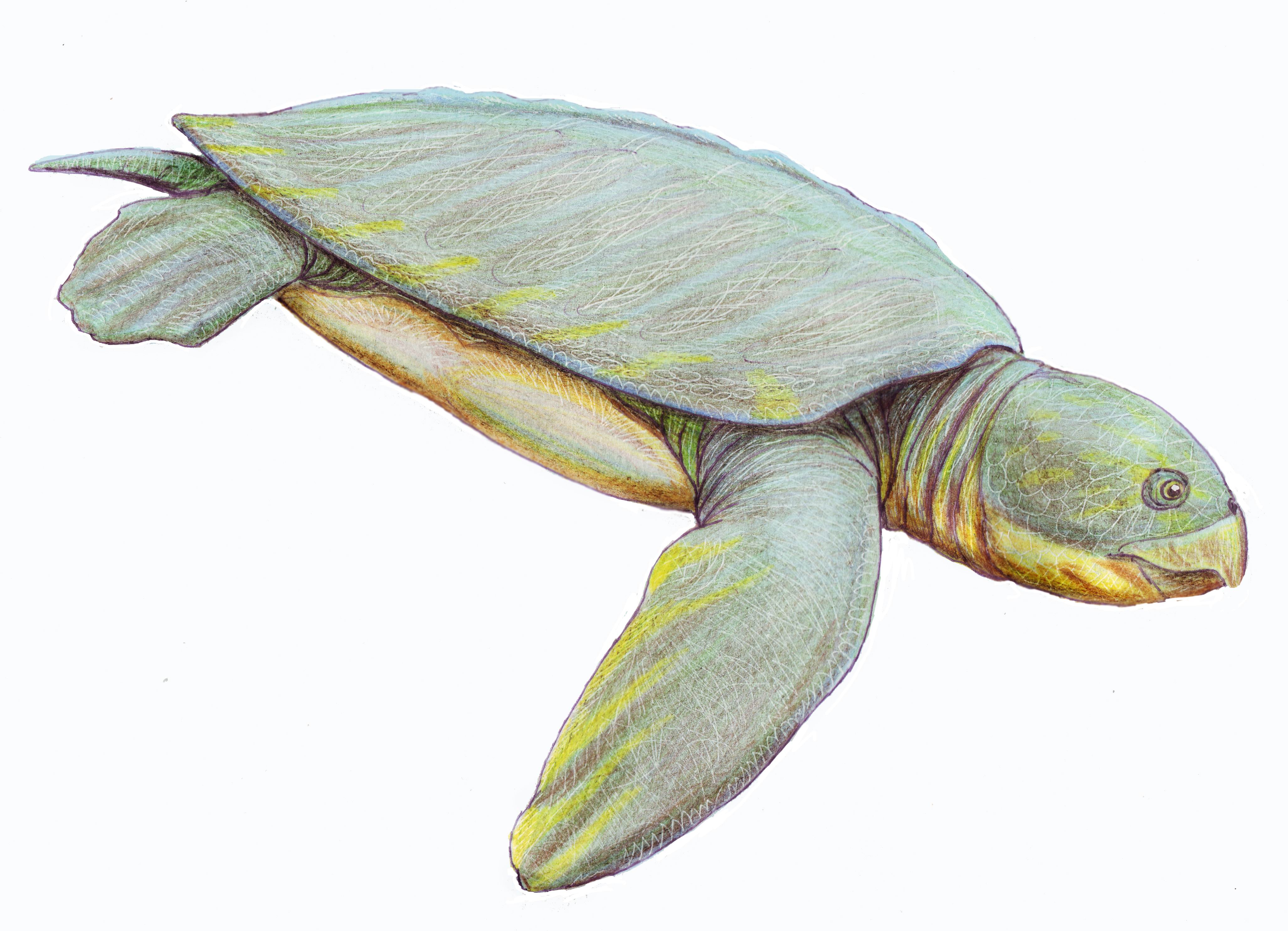
Sea turtles (superfamily Chelonioidea), sometimes called marine turtles, are reptiles of the order Testudines and of the suborder Cryptodira. The seven existing species of sea turtles are the flatback, green, hawksbill, leatherback, loggerhead, Kemp's ridley, and olive ridley sea turtles. All six of the sea turtle species present in US waters (all of those listed above except the flatback) are listed as endangered and/or threatened under the Endangered Species Act. The seventh sea turtle species is the flatback, which exists in the waters of Australia, Papua New Guinea and Indonesia. Sea turtles can be separated into the categories of hard-shelled (cheloniid) and leathery-shelled ( dermochelyid).Wyneken, J. 2001. The Anatomy of Sea Turtles. U.S Department of Commerce NOAA Technical Memorandum NMFS-SEFSC-470, 1-172 pp. There is only one dermochelyid species which is the leatherback sea turtle. Description For each of the seven types of sea turtles, females and males are the sa ... [...More Info...] [...Related Items...] OR: [Wikipedia] [Google] [Baidu] |
Aguirre State Forest
The Aguirre State Forest (in es, Bosque Estatal de Aguirre) is a nature reserve on the south coast of Puerto Rico and one of the commonwealth's 20 state forests. It mainly consists of mangroves and floodplain forests, and it borders the Jobos Bay National Estuarine Research Reserve. The Aguirre State Forest is owned and administered by Puerto Rico. It was established in 1918 by Puerto Rico governor Arthur Yager to protect the mangrove forests areas between the municipalities of Guayama and Santa Isabel. Natural features The forest is notable for its dense mangrove forests and salt ponds. As such it is an ecologically diverse area that is home to 13 species of reptiles, 4 species of amphibians and 3 species of bats. At least 184 bird species can be found within the forest and the area is an important bird nesting site. Some notable bird species found here are yellow-crowned night herons ('' Nyctanassa violacea''), mangrove rails (''Rallus longirostris''), yellow warblers ('' ... [...More Info...] [...Related Items...] OR: [Wikipedia] [Google] [Baidu] |


