|
Primorje-Gorski Kotar County
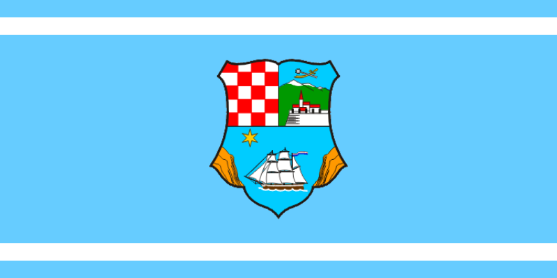
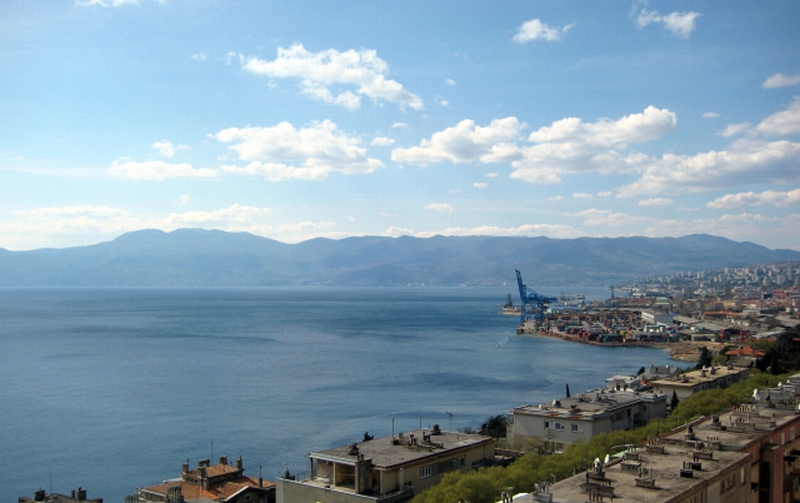
Primorje-Gorski Kotar County ( hr, Primorsko-goranska éƒupanija, ) is a county in western Croatia that includes the Bay of Kvarner, the surrounding Northern Croatian Littoral, and the mountainous region of Gorski kotar. Its center is Rijeka. The county's population was 296,195 at the 2011 census. The county includes the island territories of Krk, Cres, LoéÀinj and Rab. The county is divided: * City of Rijeka (county seat) * Town of Bakar * Town of Cres * Town of Crikvenica * Town of áabar * Town of Delnice * Town of Kastav * Town of Kraljevica * Town of Krk * Town of Mali LoéÀinj * Town of Novi Vinodolski * Town of Opatija * Town of Rab * Town of Vrbovsko * Municipality of BaéÀka * Municipality of Brod Moravice * Municipality of áavle * Municipality of Dobrinj * Municipality of Fuéƒine * Municipality of Jelenje * Municipality of Klana * Municipality of Kostrena * Municipality of Lokve * Municipality of Lovran * Municipality of Malinska-DubaéÀnica * Municipality of Matu ... [...More Info...] [...Related Items...] OR: [Wikipedia] [Google] [Baidu] |
Counties Of Croatia
The counties of Croatia ( hr, hrvatske éƒupanije) are the primary administrative subdivisions of the Republic of Croatia. Since they were re-established in 1992, Croatia has been divided into 20 counties and the capital city of Zagreb, which has the authority and legal status of both a county and a city (separate from the surrounding Zagreb County). As of 2015, the counties are subdivided into 128 cities and 428 (mostly rural) municipalities. The divisions have changed over time since the medieval Croatian state. They reflected territorial losses and expansions; changes in the political status of Dalmatia, Dubrovnik and Istria; and political circumstances, including the personal union and subsequent development of relations between the Kingdom of Croatia-Slavonia and the Kingdom of Hungary. Government County assembly ( hr, éƒupanijska skupéÀtina, label=none) is a representative and deliberative body in each county. Assembly members are elected for a four-year term by popu ... [...More Info...] [...Related Items...] OR: [Wikipedia] [Google] [Baidu] |
Sustainable Development Of Croatia
Green alternative - Sustainable Development of Croatia ( hr, Zelena alternativa - Odréƒivi razvoj Hrvatske) or ORaH (''Orah'' meaning "walnut" in Croatian) is a minor green political party in Croatia. History The party was formed in 2013. Its leader is a former Minister of Environmental Protection and Nature and Social Democratic Party MP Mirela Holy. She won the seat in the Sabor as a member of the Social Democratic Party which she left after some disagreements over party leadership. In the May 2014, the party came close to 10% of the vote and elected one MEP, Davor é krlec, who sits with the Greens in the European Parliament. Later that year, the minor green party Green List merged into ORaH. On 23 July 2015 it was announced that an independent MP Mladen Novak was joining ORaH. He was a former Croatian Labourists ã Labour Party member who left the party after it started negotiating to join Kukuriku coalition. Another former labourist MP, Zlatko TuéÀak, joined the party o ... [...More Info...] [...Related Items...] OR: [Wikipedia] [Google] [Baidu] |
áabar
áabar is a town in the Primorje-Gorski Kotar County in western Croatia. There are 3,770 inhabitants (census 2011), in the following settlements: * Bazli, population 5 * Brinjeva Draga, population 5 * Crni Lazi, population 117 * áabar, population 412 * Donji é§agari, population 8 * Faéƒonci, population 0 * Ferbeéƒari, population 32 * Gerovo, population 689 * Gerovski Kraj, population 95 * Goraái, population 99 * Gornji é§agari, population 83 * Hrib, population 109 * Kamenski Hrib, population 6 * Kozji Vrh, population 60 * Kraljev Vrh, population 14 * Kranjci, population 4 * Lautari, population 16 * Lazi, population 55 * Makov Hrib, population 103 * Mali Lug, population 79 * Mandli, population 39 * Okrivje, population 2 * Parg, population 87 * PleéÀce, population 140 * Podstene, population 17 * Poéƒarnica, population 1 * Prezid, population 740 * Prhci, population 12 * Prhutova Draga, population 3 * PréÀleti, population 0 * Ravnice, population 39 * Selo, p ... [...More Info...] [...Related Items...] OR: [Wikipedia] [Google] [Baidu] |
Crikvenica
Crikvenica () is a city in Croatia, located on the Adriatic in the Primorje-Gorski Kotar County. Names The names of the town in various languages include: * la, Ad Turres * it, Cirquenizza * hu, Cirkvenica, Cirkvenicza, Czirkvenicza, Czirkwenicza * german: Cirknenz Geography Crikvenica is located southeast of Rijeka and is the largest settlement on the coast of the Vinodol coastal area. Towns near Crikvenica include Kraljevica, Selce and Novi Vinodolski. In the last twenty years, due to urban expansion of Crikvenica itself and expansion of the nearby town of Selce, the two were merged into a mini-conglomerate. Population In the 2011 census, Crikvenica had a total municipal population of 11,122, in the following settlements: * Crikvenica, population 6,860 * Dramalj, population 1,485 * Jadranovo, population 1,224 * Selce, population 1,553 History Crikvenica was developed on the site of a Roman era settlement and military base called Ad Turres. Old Crikvenica was o ... [...More Info...] [...Related Items...] OR: [Wikipedia] [Google] [Baidu] |
Cres (town)
Cres ( it, Cherso; grc, öüöÙüöÝ; la, Crepsa) is a Croatian town located on the island of Cres which can be found directly off the Istrian Peninsula and in the Kvarner Gulf. The town has 2,879 inhabitants (2011), and is located at . Town Cres is a city on the bay, as its town docks come directly into the middle of the city and are filled with boats. There is a car park at the entrance to the city, along with multiple restaurants and a gas station. Upon entering the city through one of the gates, there are narrow paths lined by houses and small stores. In the center, there is an open piazza, with people selling different homemade goods. There are also shops and open air restaurants in which people can sit on the edge and watch the boats come in. Population Marina Cres is home to a Blue Flag beach, Blue-Flag-status marina on the outskirts of the city. This is separate from the concrete center docks seen inside the actual city. The marina is home to ships of many people o ... [...More Info...] [...Related Items...] OR: [Wikipedia] [Google] [Baidu] |
Bakar
Bakar ( it, Buccari; hu, SzûÀdrûˋv) is a town in the Primorje-Gorski Kotar County in western Croatia. The population of the town was 8,279 according to the 2011 Croatian census, including 1,473 in the titular settlement. Ninety percent of the population declared themselves Croats by ethnicity. The largest ethnic minority are the Serbs with 2.91% of the population. The old part of Bakar is situated on a hill overlooking the Bay of Bakar. is the Croatian language, Croatian word for "copper". Bakar is a port for bulk cargo and used to be known for its industrial complex that included a coke (fuel), coke factory, which produced a considerable amount of pollution. Bakar's coke factory was closed in 1995 and the area's pollution has subsided significantly. Municipality Demographics Coat of arms Bakar was granted its coat of arms and town privileges in 1799 by Francis II, Holy Roman Emperor. The coat of arms was in the artistic style typical for the period, with a cartouch ... [...More Info...] [...Related Items...] OR: [Wikipedia] [Google] [Baidu] |
LoéÀinj
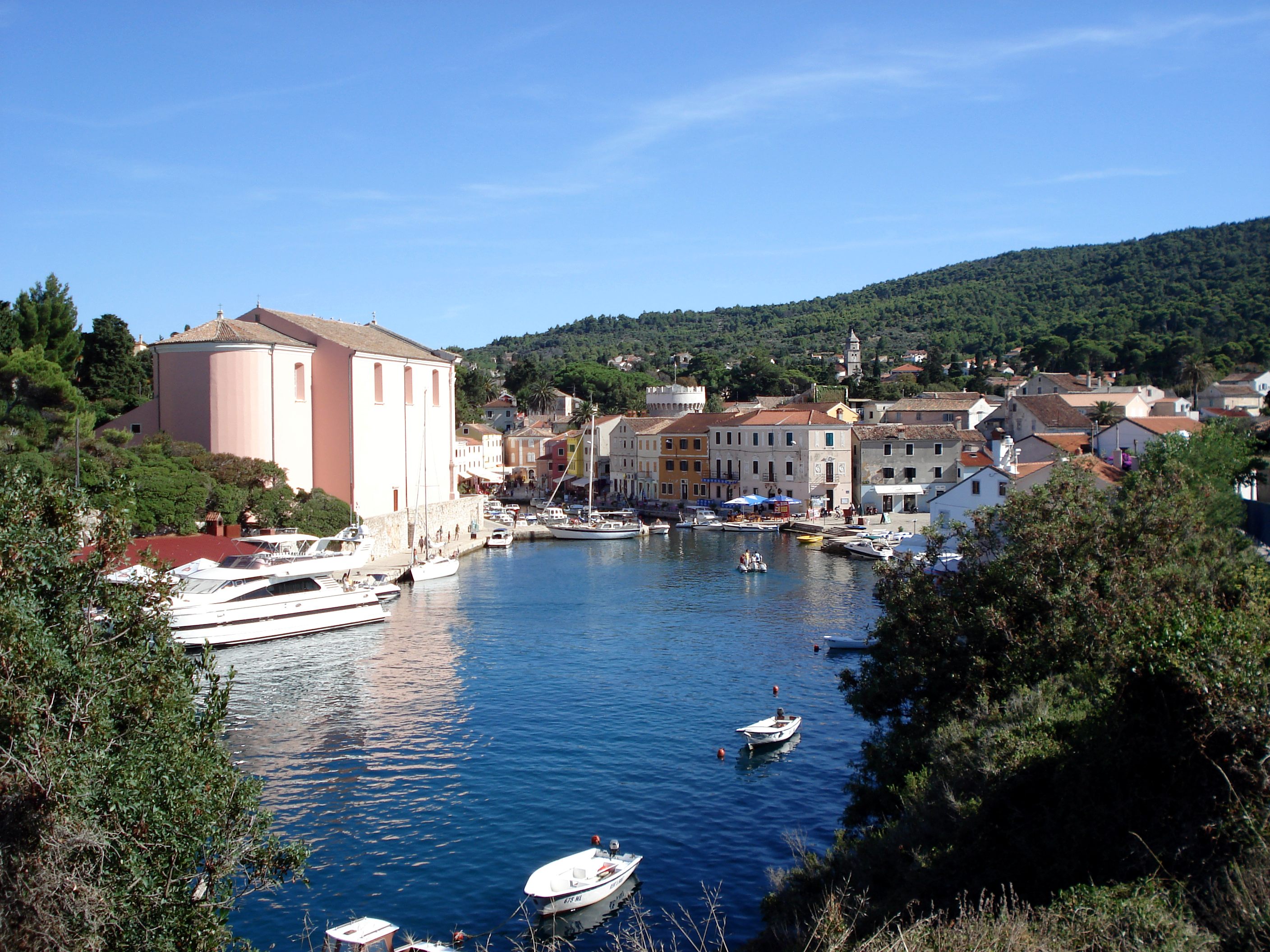
LoéÀinj (; it, Lussino; vec, Lusin, earlier ''Osero''; german: LûÑtzing; la, Apsorrus; grc, Ã¥üö¢üüö¢ü) is a Croatian island in the northern Adriatic Sea, in the Kvarner Gulf. It is almost due south of the city of Rijeka and part of the Primorje-Gorski Kotar County. The settlements on LoéÀinj include Nerezine, Sveti Jakov, áunski, Artatore, Mali LoéÀinj and Veli LoéÀinj. A regional road runs the length of the island; ferry connections (via the island of Cres) include Brestova - Porozina, Merag - Valbiska, Mali LoéÀinj - Zadar, Mali LoéÀinj - Pula. There is also an airport on the island of LoéÀinj. Geography LoéÀinj is part of the Cres-LoéÀinj archipelago. The Cres-LoéÀinj archipelago includes the two major islands Cres and LoéÀinj, some minor islands Unije, Ilovik, Susak, Vele Srakane, Male Srakane and a number of uninhabited small islets and outcrops. Cres is the largest by area, followed by LoéÀinj. Cres and LoéÀinj are connected by a small bridge at the town o ... [...More Info...] [...Related Items...] OR: [Wikipedia] [Google] [Baidu] |
Cres
Cres (; dlm, Crepsa, vec, Cherso, it, Cherso, la, Crepsa, Greek language, Greek: öÏöÙüüö¢ü, ''Chersos'') is an Adriatic island in Croatia. It is one of the northern islands in the Kvarner Gulf and can be reached via ferry from Rijeka, the island Krk or from the Istrian peninsula (line Brestova-Porozina). With an area of 405.78 km2, Cres is the same size as the neighbouring island of Krk, although Krk has for many years been thought the largest of the islands. Cres has a population of 3,079 (2011). Cres and the neighbouring island of LoéÀinj once used to be one island, but were divided by a channel and connected with a bridge at the town of Osor, Croatia, Osor. Cres's only freshwater source is Lake Vrana (Cres), Lake Vrana. History Cres has been inhabited since the Paleolithic time period. Its name predates classical antiquity and is derived from Proto-Indo-European language, Proto-Indo-European ''*(s)quer-'' ("cliff"). Although this is one view, another more h ... [...More Info...] [...Related Items...] OR: [Wikipedia] [Google] [Baidu] |
Northern Croatian Littoral
Croatian Littoral ( hr, Hrvatsko primorje) is a historical name for the region of Croatia comprising mostly the coastal areas between traditional Dalmatia to the south, Croatia proper, Mountainous Croatia to the north, Istria and the Kvarner Gulf of the Adriatic Sea to the west. The term "Croatian Littoral zone, Littoral" developed in the 18th and 19th centuries, reflecting the complex development of Croatia in historical and geographical terms. The region saw frequent changes to its ruling powers since classical antiquity, including the Roman Empire, the Ostrogoths, the Kingdom of the Lombards, Lombards, the Byzantine Empire, the Frankish Empire, and the Kingdom of Croatia (medieval), Croats, some of whose major historical heritage originates from the areaãmost notably the BaéÀka tablet. The region and adjacent territories became a point of contention between major European powers, including the Republic of Venice, the Kingdom of Hungary, and the Habsburg monarchy, Habsburg a ... [...More Info...] [...Related Items...] OR: [Wikipedia] [Google] [Baidu] |
Bay Of Kvarner
The Kvarner Gulf (, or , la, Sinus Flanaticus or ), sometimes also Kvarner Bay, is a bay in the northern Adriatic Sea, located between the Istrian peninsula and the northern Croatian Littoral mainland. The bay is a part of Croatia's internal waters. The largest islands within the Kvarner are Cres, Krk, Pag, Rab and LoéÀinj. A portion of the Kvarner Bay, located between Cres, Krk, Rab and Pag is also called ''Kvarneriá'' (literally "little Kvarner") or or , and the portion east of Krk and Rab is called Senj Channel. The bay is notable for its depth (more than 100 meters), which allows for the city of Rijeka at its northernmost point to have a sea port that can accommodate Capesize ships. The bay is also home to many beaches and tourist locations because of its beautiful waters and warm climate. See also * Geography of Croatia The geography of Croatia is defined by its locationãit is described as a part of Central Europe and Southeast Europe, a part of the Balkans an ... [...More Info...] [...Related Items...] OR: [Wikipedia] [Google] [Baidu] |
éƒupanija
''é§upanija'' (singular; plural ''éƒupanije'') or ''é§upnija'' (singular; plural ''éƒupnije'') is a South Slavic administrative subdivision. For the etymology, see é§upa. The term é§upanija is used in: * Croatia: counties of Croatia *Cantons of the Federation of Bosnia and Herzegovina are frequently referred to as ''éƒupanije'' by the Bosnian Croat population. The term é§upnija is used in Slovenia Slovenia ( ; sl, Slovenija ), officially the Republic of Slovenia (Slovene: , abbr.: ''RS''), is a country in Central Europe. It is bordered by Italy to the west, Austria to the north, Hungary to the northeast, Croatia to the southeast, an .... {{DEFAULTSORT:Zupanija Types of administrative division Subdivisions of Croatia Subdivisions of Bosnia and Herzegovina pl:é§upanija ... [...More Info...] [...Related Items...] OR: [Wikipedia] [Google] [Baidu] |


