|
Porto Do Son
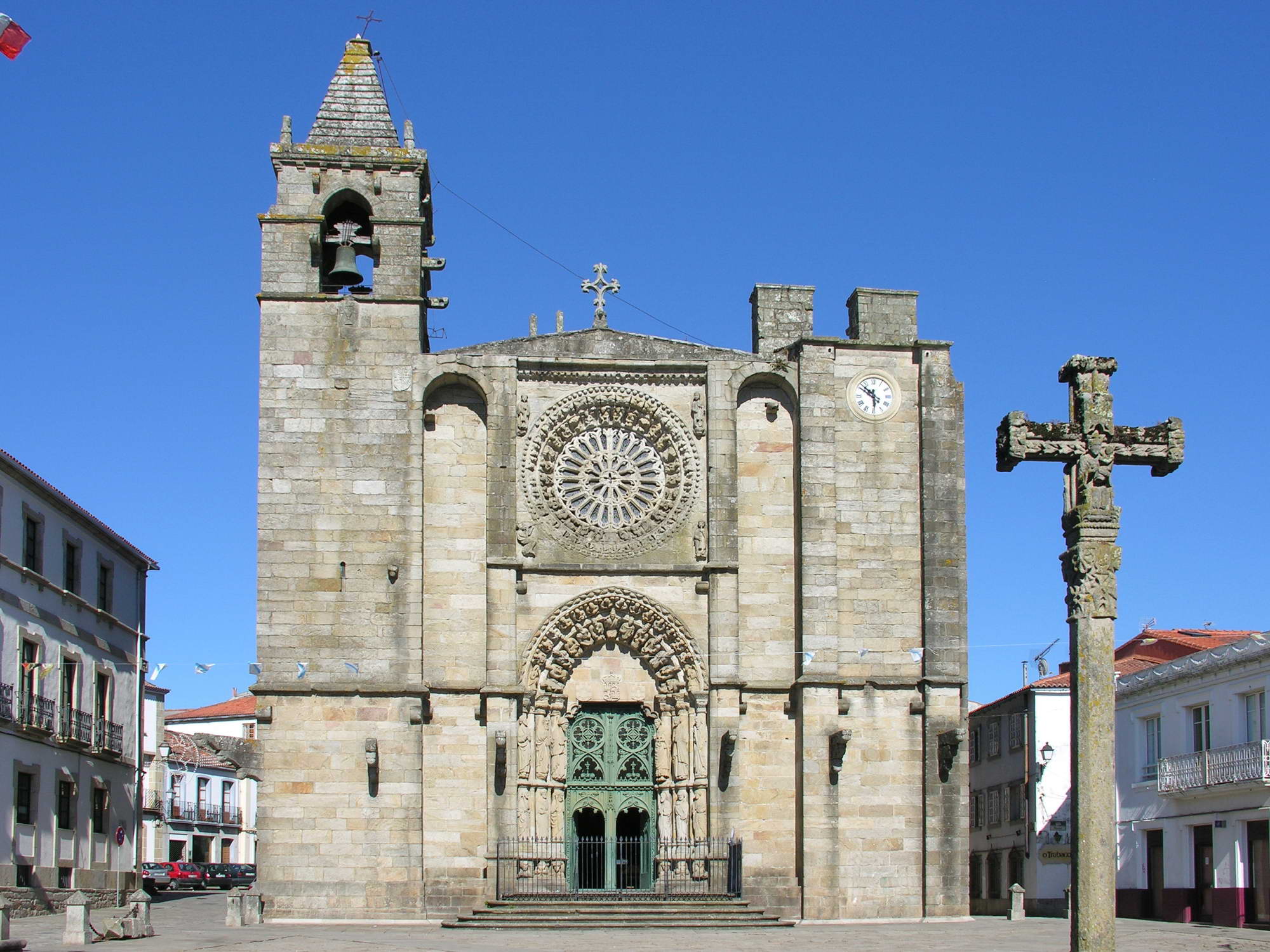
Porto do Son () is a municipality of northwestern Spain in the province of A Coruña, in the autonomous community of Galicia. The municipality of Porto do Son encompasses a collection of coastal towns and villages in from including the town of Porto do Son itself, and other towns such as Portosín. The area is around 25 km by 6 km and has many beaches along with some famous Celtic ruins, the castro (i.e., "hill fort") called the "Castro de Baroña". Geography Porto do Son occupies the north-eastern side of the Barbanza Peninsula, and thus borders the municipalities of the Shire of Barbanza, Boiro, A Pobra do Caramiñal and Santa Uxía de Ribeira. To the north-east it borders the municipalities of Noia and Lousame. The Barbanza Peninsula is a very hilly region. Most of the population is located next to the coast. This is the largest municipality in Barbanza, and its highest point is mount Iroite. It has an exact antipode in Hokitika, New Zealand. Economy In 20 ... [...More Info...] [...Related Items...] OR: [Wikipedia] [Google] [Baidu] |
Galicia (Spain)
Galicia (; gl, Galicia or ; es, Galicia}; pt, Galiza) is an autonomous community of Spain and historic nationality under Spanish law. Located in the northwest Iberian Peninsula, it includes the provinces of A Coruña, Lugo, Ourense, and Pontevedra. Galicia is located in Atlantic Europe. It is bordered by Portugal to the south, the Spanish autonomous communities of Castile and León and Asturias to the east, the Atlantic Ocean to the west, and the Cantabrian Sea to the north. It had a population of 2,701,743 in 2018 and a total area of . Galicia has over of coastline, including its offshore islands and islets, among them Cíes Islands, Ons, Sálvora, Cortegada Island, which together form the Atlantic Islands of Galicia National Park, and the largest and most populated, A Illa de Arousa. The area now called Galicia was first inhabited by humans during the Middle Paleolithic period, and takes its name from the Gallaeci, the Celtic people living north of the ... [...More Info...] [...Related Items...] OR: [Wikipedia] [Google] [Baidu] |
Boiro
Boiro is a municipality in the province of A Coruña in the autonomous community of Galicia in northwestern Spain. It is located in the comarca of Barbanza. Boiro has an area of 86.58 km2. Boiro was where the controversial assisted suicide of quadriplegic Ramón Sampedro took place. The town was later used as a setting for the 2004 film Mar Adentro ''The Sea Inside'' ( es, Mar adentro) is a 2004 Spanish psychological drama film co-written and directed by Alejandro Amenábar, who also co-produced, scored and edited. It is based on the real-life story of Ramón Sampedro (played by Javier Barde ..., chronicling Sampedro's later life. Boiro is also well known for local tourists that come from inner Spain to enjoy the milder climate and landscape, most notably the Barbanza mountain chain, Praia de Barraña (which lies close to the town center), and Carragueiros and Mañóns beaches (one in O Castro parish and the other in Abanqueiro parish). References External links Touris ... [...More Info...] [...Related Items...] OR: [Wikipedia] [Google] [Baidu] |
Castro De Baroña
The Castro de Baroña is an Iron Age fortified settlement located in the parish of Baroña, a municipality of Porto do Son in the province of A Coruña (Galicia, Spain. GPS Co-ordinates: 42°41'41.40"N 9°1'57.10"W). The settlement, surrounded by two walls and containing twenty roundhouses that still remain today, was built on a peninsula and inhabited from the 1st Century BC to the 1st Century AD. Description A moat four metres wide by three metres deep, forming the first line of defence, was dug into the isthmus that connects the town to the fort. Beyond this, there is a rampart consisting of two almost parallel stone walls filled with sand and stone. It is thought that this rampart originally connected to the town walls, creating an area most likely without housing. The main wall is well preserved and has two sides, the one on the right is made up of three gradually rising stone walls, and the one on the left is similar to that of the isthmus. To the right of the entrance ther ... [...More Info...] [...Related Items...] OR: [Wikipedia] [Google] [Baidu] |
New Zealand
New Zealand ( mi, Aotearoa ) is an island country in the southwestern Pacific Ocean. It consists of two main landmasses—the North Island () and the South Island ()—and over 700 smaller islands. It is the sixth-largest island country by area, covering . New Zealand is about east of Australia across the Tasman Sea and south of the islands of New Caledonia, Fiji, and Tonga. The country's varied topography and sharp mountain peaks, including the Southern Alps, owe much to tectonic uplift and volcanic eruptions. New Zealand's capital city is Wellington, and its most populous city is Auckland. The islands of New Zealand were the last large habitable land to be settled by humans. Between about 1280 and 1350, Polynesians began to settle in the islands and then developed a distinctive Māori culture. In 1642, the Dutch explorer Abel Tasman became the first European to sight and record New Zealand. In 1840, representatives of the United Kingdom and Māori chiefs ... [...More Info...] [...Related Items...] OR: [Wikipedia] [Google] [Baidu] |
Hokitika
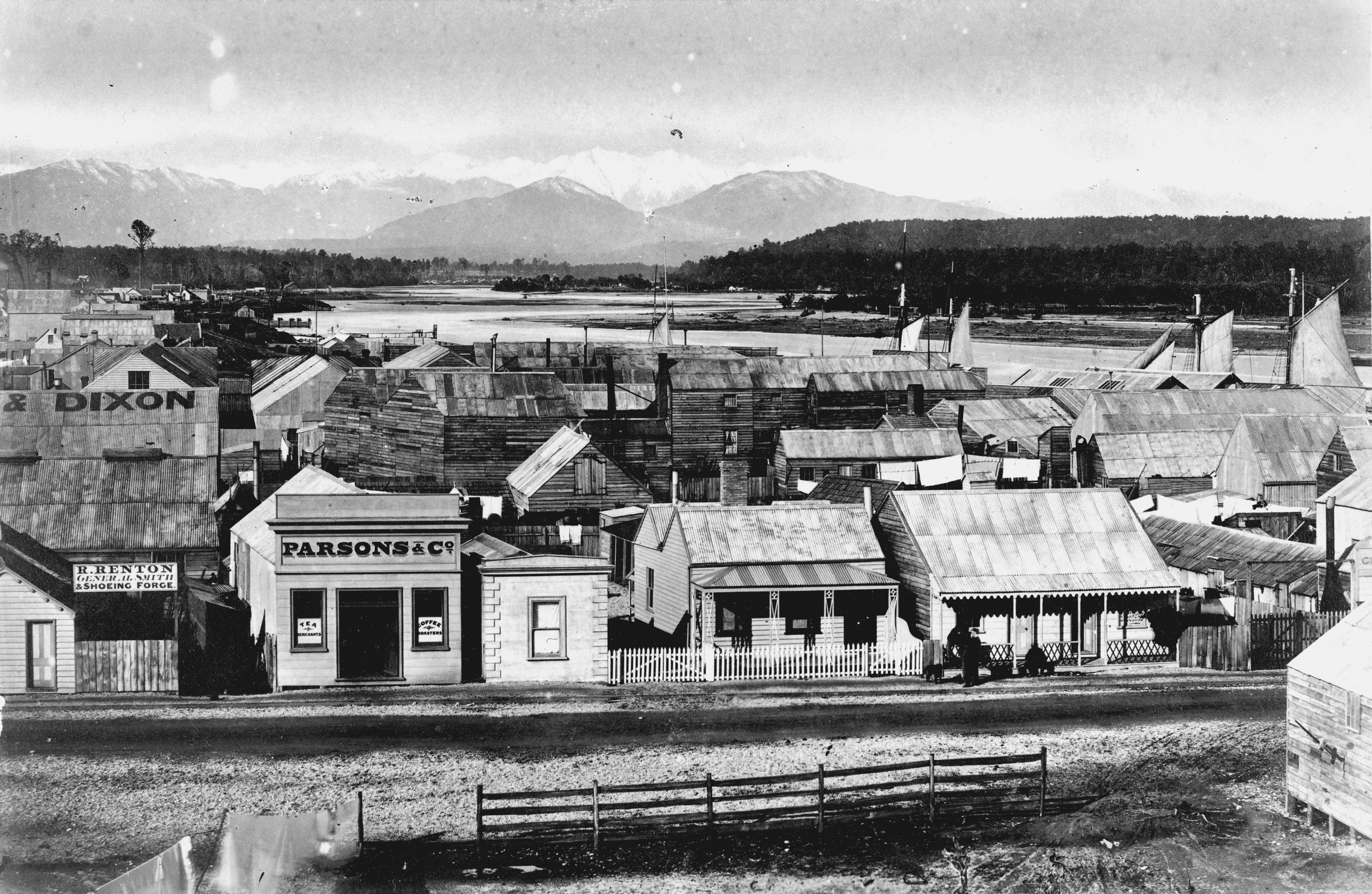
Hokitika is a town in the West Coast region of New Zealand's South Island, south of Greymouth, and close to the mouth of the Hokitika River. It is the seat and largest town in the Westland District. The town's estimated population is as of . On a clear day Aoraki / Mount Cook can clearly be seen from Hokitika's main street. Toponymy The name Hokitika translates from Māori as "to return directly" (from , 'to return', and , 'direct'). According to the Ministry for Culture and Heritage, the name comes from when a band of Ngāi Tahu warriors in search of greenstone were about to attack Ngāti Wairangi . The chief of the invaders drowned while trying to cross the Hokitika River, and the leaderless (army) then returned directly to their own home. History The land where Hokitika stands was purchased in 1860 from Māori when Poutini Ngāi Tahu chiefs signed the Arahura Deed. This was the sale of the whole of the West Coast region, apart from small areas reserved for ... [...More Info...] [...Related Items...] OR: [Wikipedia] [Google] [Baidu] |
Lousame
Lousame is a municipality of northwestern Spain in the province of A Coruña, in the autonomous community of Galicia Galicia may refer to: Geographic regions * Galicia (Spain), a region and autonomous community of northwestern Spain ** Gallaecia, a Roman province ** The post-Roman Kingdom of the Suebi, also called the Kingdom of Gallaecia ** The medieval King .... It belongs to the comarca of Noia. It has a population of 3,657 inhabitants (INE, 2011). References Municipalities in the Province of A Coruña {{Galicia-geo-stub ... [...More Info...] [...Related Items...] OR: [Wikipedia] [Google] [Baidu] |
Noia
Noia () is a town and municipality in the autonomous community of Galicia in northwestern Spain. It is the capital of the comarca with the same name. It has a population of 14,947 inhabitants (2010), being situated in the , some 20 miles west of near the mouth of the river. Noia was a thriving commercial port during the |
Santa Uxía De Ribeira
Ribeira is the capital of the comarca of Barbanza, in the province of A Coruña in the autonomous community of Galicia in northwestern Spain. The capital and most populous urban center is Santa Uxía de Ribeira. Another of its major points is the center of San Martin de Oleiros. The municipality is administratively divided into nine civil parishes: Aguiño, Artes, Carreira, Castiñeiras, Corrubedo, Oleiros, Olveira, Palmeira and Ribeira. It is one of the most southerly municipalities of the province. It borders the municipalities of Pobra do Caramiñal and Porto do Son. It has one of the most important inshore fishing ports in the province. Also within the municipality, tuna that is destined for canning is unloaded for manufacturing companies. It has important administrative services provided to the population that nourishes the municipality, such as the local delegation of the Treasury and three Courts of First Instance and Instruction. Toponymy ''Ribeira'' is a Galician wo ... [...More Info...] [...Related Items...] OR: [Wikipedia] [Google] [Baidu] |
A Pobra Do Caramiñal
A Pobra do Caramiñal is a town and municipality at the entrance of one of the lower bays of the Galician coastline known as the ''Ria de Arousa'' in the province of A Coruña, Spain. It is located in the autonomous community of Galicia. A Pobra do Caramiñal belongs to the comarca of A Barbanza. It is the next stop out of the ''ria'' (bay or more apropos ''fjord'') after Boiro and is famous for its unusual festival procession in September. A Pobra do Caramiñal features a large harbor with docks for commercial and leisure craft, the Alameda, the Old Town, and a popular beach. Demographics Colors= id:lightgrey value:gray(0.9) id:darkgrey value:gray(0.7) id:sfondo value:rgb(1,1,1) id:barra value:rgb(0.6,0.7,0.9) ImageSize = width:500 height:300 PlotArea = left: 60 bottom: 30 top: 20 right: 20 DateFormat = x.y Period = from:0 till:11000 TimeAxis = orientation:vertical AlignBars = late ScaleMajor = gridcolor:darkgrey increment:2000 start:0 ScaleMinor = gridco ... [...More Info...] [...Related Items...] OR: [Wikipedia] [Google] [Baidu] |
Castro (village)
Castro culture ( gl, cultura castrexa, pt, cultura castreja, ast, cultura castriega, es, cultura castreña, meaning "culture of the hillforts") is the archaeological term for the material culture of the northwestern regions of the Iberian Peninsula (present-day northern Portugal together with the Spanish regions of Galicia, Asturias, and western León) from the end of the Bronze Age (c. 9th century BC) until it was subsumed by Roman culture (c. 1st century BC). It is the culture associated with the Gallaecians and Astures. The most notable characteristics of this culture are: its walled oppida and hillforts, known locally as ''castros'', from Latin ''castrum'' 'castle', and the scarcity of visible burial practices, in spite of the frequent depositions of prestige items and goods, swords and other metallic riches in rocky outcrops, rivers and other aquatic contexts since the Atlantic Bronze Age. This cultural area extended east to the Cares river and south into the lower Dou ... [...More Info...] [...Related Items...] OR: [Wikipedia] [Google] [Baidu] |
List Of Sovereign States
The following is a list providing an overview of sovereign states around the world with information on their status and recognition of their sovereignty. The 206 listed states can be divided into three categories based on membership within the United Nations System: 193 UN member states, 2 UN General Assembly non-member observer states, and 11 other states. The ''sovereignty dispute'' column indicates states having undisputed sovereignty (188 states, of which there are 187 UN member states and 1 UN General Assembly non-member observer state), states having disputed sovereignty (16 states, of which there are 6 UN member states, 1 UN General Assembly non-member observer state, and 9 de facto states), and states having a special political status (2 states, both in free association with New Zealand). Compiling a list such as this can be a complicated and controversial process, as there is no definition that is binding on all the members of the community of nations conce ... [...More Info...] [...Related Items...] OR: [Wikipedia] [Google] [Baidu] |


