|
Polflucht
Polflucht (from German, ''flight from the poles'') is a geophysical concept invoked in 1922 by Alfred Wegener to explain his ideas of continental drift. He suggested that a differential gravitational force (horizontal component of centrifugal or Eötvös force) and the Earth's flattening would cause continental masses to drift slowly towards the equator. The hypothesis was expanded by Paul Sophus Epstein in 1920 but the force is now known to be far too weak to cause plate tectonics. The strength of the layers of the Earth's crust Earth's crust is Earth's thin outer shell of rock, referring to less than 1% of Earth's radius and volume. It is the top component of the lithosphere, a division of Earth's layers that includes the crust and the upper part of the mantle. The ... is much stronger than assumed by Wegener and Epstein. Literature * ''The concise Oxford dictionary of Earth Sciences'' (topic 'Polflucht'), Oxford 1990 * Laszlo Egyed: ''Physik der festen Erde'' (Physics ... [...More Info...] [...Related Items...] OR: [Wikipedia] [Google] [Baidu] |
Continental Drift
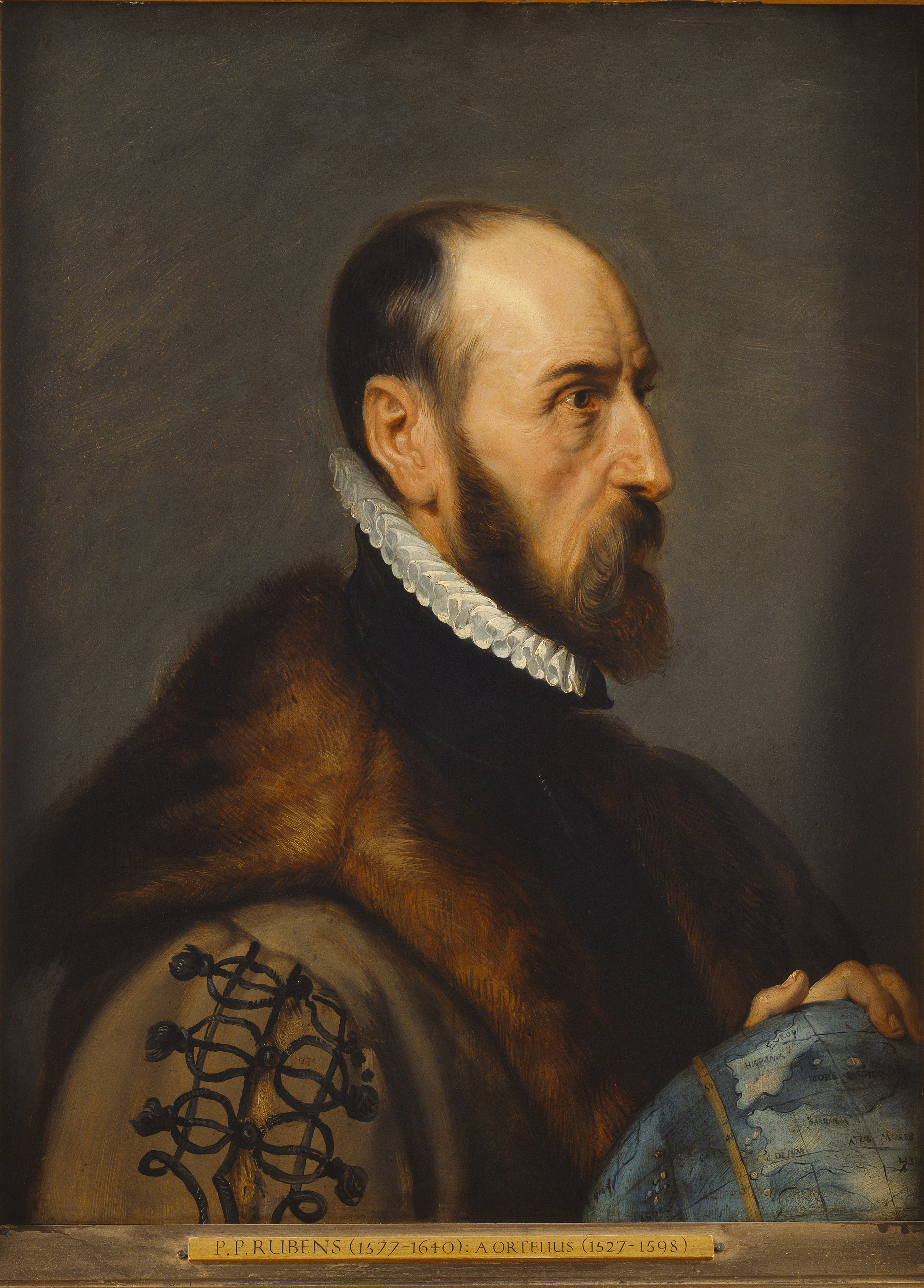
Continental drift is the hypothesis that the Earth's continents have moved over geologic time relative to each other, thus appearing to have "drifted" across the ocean bed. The idea of continental drift has been subsumed into the science of plate tectonics, which studies the movement of the continents as they ride on plates of the Earth's lithosphere. The speculation that continents might have 'drifted' was first put forward by Abraham Ortelius in 1596. A pioneer of the modern view of mobilism was the Austrian geologist Otto Ampferer.Helmut W. Flügel: Die virtuelle Welt des Otto Ampferer und die Realität seiner Zeit'. In: Geo. Alp., Vol. 1, 2004. The concept was independently and more fully developed by Alfred Wegener in 1912, but the hypothesis was rejected by many for lack of any motive mechanism. The English geologist Arthur Holmes later proposed mantle convection for that mechanism. History Early history Abraham Ortelius , Theodor Christoph Lilienthal (1756), A ... [...More Info...] [...Related Items...] OR: [Wikipedia] [Google] [Baidu] |
Paul Sophus Epstein
Paul Sophus Epstein (; Warsaw, Vistula Land, Russian Empire, March 20, 1883 – Pasadena, California, United States, February 8, 1966) was a Russian-American mathematical physicist. He was known for his contributions to the development of quantum mechanics, part of a group that included Lorentz, Einstein, Minkowski, Thomson, Rutherford, Sommerfeld, Röntgen, von Laue, Bohr, de Broglie, Ehrenfest and Schwarzschild. Paul Epstein's parents, Siegmund Simon Epstein and Sarah Sophia (Lurie) Epstein were of a middle class Jewish family. He said that his mother recognized his potential at the age of four years and predicted that he would be a mathematician. He went to the Hochschule in Minsk, and from 1901-1905 studied mathematics and physics at the Imperial University of Moscow under Pyotr Nikolaevich Lebedev. In 1909 he graduated, and became a Privatdozent at the University of Moscow. In 1910 he went to Munich, Germany, to do research under Arnold Sommerfeld, who was his ad ... [...More Info...] [...Related Items...] OR: [Wikipedia] [Google] [Baidu] |
Alfred Wegener
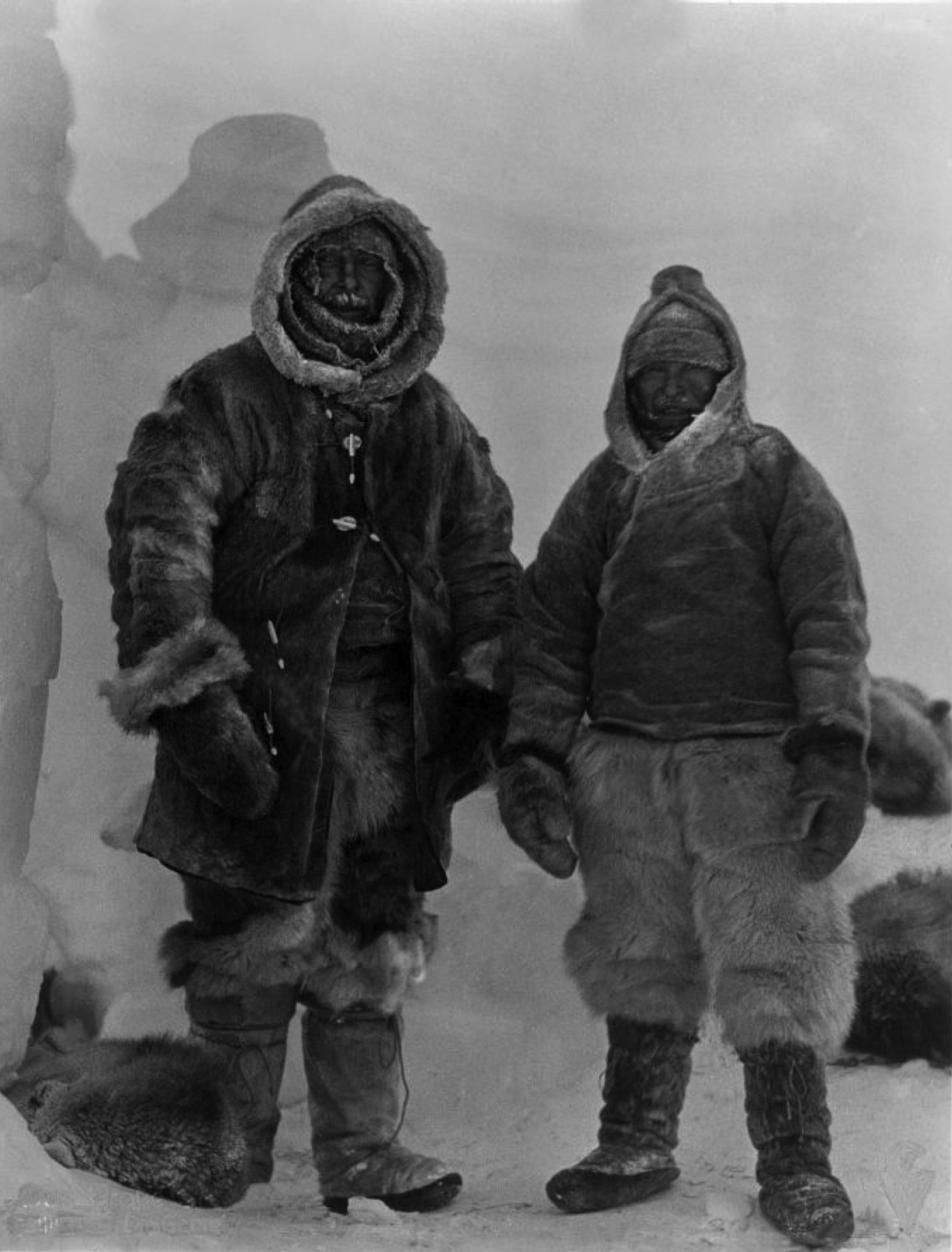
Alfred Lothar Wegener (; ; 1 November 1880 – November 1930) was a German climatologist, geologist, geophysicist, meteorologist, and polar researcher. During his lifetime he was primarily known for his achievements in meteorology and as a pioneer of polar research, but today he is most remembered as the originator of continental drift hypothesis by suggesting in 1912 that the continents are slowly drifting around the Earth (German: '). His hypothesis was controversial and widely rejected by mainstream geology until the 1950s, when numerous discoveries such as palaeomagnetism provided strong support for continental drift, and thereby a substantial basis for today's model of plate tectonics. Wegener was involved in several expeditions to Greenland to study polar air circulation before the existence of the jet stream was accepted. Expedition participants made many meteorological observations and were the first to overwinter on the inland Greenland ice sheet and the first to ... [...More Info...] [...Related Items...] OR: [Wikipedia] [Google] [Baidu] |
Eötvös Effect
The Eötvös effect is the change in measured Earth's gravity caused by the change in centrifugal acceleration resulting from eastbound or westbound velocity. When moving eastbound, the object's angular velocity is increased (in addition to Earth's rotation), and thus the centrifugal force also increases, causing a perceived reduction in gravitational force. Discovery In the early 1900s, a German team from the Geodetic Institute of Potsdam carried out gravity measurements on moving ships in the Atlantic, Indian, and Pacific oceans. While studying their results, the Hungarian nobleman and physicist Baron Roland von Eötvös (Loránd Eötvös) noticed that the readings were lower when the boat moved eastwards, higher when it moved westward. He identified this as primarily a consequence of Earth's rotation. In 1908, new measurements were made in the Black Sea on two ships, one moving eastward and one westward. The results substantiated Eötvös' claim. Formulation Geodesists use ... [...More Info...] [...Related Items...] OR: [Wikipedia] [Google] [Baidu] |
Flattening
Flattening is a measure of the compression of a circle or sphere along a diameter to form an ellipse or an ellipsoid of revolution (spheroid) respectively. Other terms used are ellipticity, or oblateness. The usual notation for flattening is and its definition in terms of the semi-axes of the resulting ellipse or ellipsoid is :: \mathrm = f =\frac . The ''compression factor'' is \frac\,\! in each case; for the ellipse, this is also its aspect ratio. Definitions There are three variants of flattening; when it is necessary to avoid confusion, the main flattening is called the first flattening.Torge, W. (2001). ''Geodesy'' (3rd edition). de Gruyter. and online web textsOsborne, P. (2008). The Mercator Projections'' Chapter 5.Rapp, Richard H. (1991). ''Geometric Geodesy, Part I''. Dept. of Geodetic Science and Surveying, Ohio State Univ., Columbus, Ohio/ref> In the following, is the larger dimension (e.g. semimajor axis), whereas is the smaller (semiminor axis). All flatt ... [...More Info...] [...Related Items...] OR: [Wikipedia] [Google] [Baidu] |
Equator
The equator is a circle of latitude, about in circumference, that divides Earth into the Northern and Southern hemispheres. It is an imaginary line located at 0 degrees latitude, halfway between the North and South poles. The term can also be used for any other celestial body that is roughly spherical. In spatial (3D) geometry, as applied in astronomy, the equator of a rotating spheroid (such as a planet) is the parallel (circle of latitude) at which latitude is defined to be 0°. It is an imaginary line on the spheroid, equidistant from its poles, dividing it into northern and southern hemispheres. In other words, it is the intersection of the spheroid with the plane perpendicular to its axis of rotation and midway between its geographical poles. On and near the equator (on Earth), noontime sunlight appears almost directly overhead (no more than about 23° from the zenith) every day, year-round. Consequently, the equator has a rather stable daytime temperature throug ... [...More Info...] [...Related Items...] OR: [Wikipedia] [Google] [Baidu] |
Plate Tectonics
Plate tectonics (from the la, label=Late Latin, tectonicus, from the grc, τεκτονικός, lit=pertaining to building) is the generally accepted scientific theory that considers the Earth's lithosphere to comprise a number of large tectonic plates which have been slowly moving since about 3.4 billion years ago. The model builds on the concept of ''continental drift'', an idea developed during the first decades of the 20th century. Plate tectonics came to be generally accepted by geoscientists after seafloor spreading was validated in the mid to late 1960s. Earth's lithosphere, which is the rigid outermost shell of the planet (the crust and upper mantle), is broken into seven or eight major plates (depending on how they are defined) and many minor plates or "platelets". Where the plates meet, their relative motion determines the type of plate boundary: '' convergent'', '' divergent'', or ''transform''. Earthquakes, volcanic activity, mountain-building, and oceanic tr ... [...More Info...] [...Related Items...] OR: [Wikipedia] [Google] [Baidu] |
Earth's Crust
Earth's crust is Earth's thin outer shell of rock, referring to less than 1% of Earth's radius and volume. It is the top component of the lithosphere, a division of Earth's layers that includes the crust and the upper part of the mantle. The lithosphere is broken into tectonic plates whose motion allows heat to escape from the interior of the Earth into space. The crust lies on top of the mantle, a configuration that is stable because the upper mantle is made of peridotite and is therefore significantly denser than the crust. The boundary between the crust and mantle is conventionally placed at the Mohorovičić discontinuity, a boundary defined by a contrast in seismic velocity. The temperature of the crust increases with depth, reaching values typically in the range from about to at the boundary with the underlying mantle. The temperature increases by as much as for every kilometer locally in the upper part of the crust Composition File:Elemental abundances.svg, ... [...More Info...] [...Related Items...] OR: [Wikipedia] [Google] [Baidu] |
Geophysics
Geophysics () is a subject of natural science concerned with the physical processes and physical properties of the Earth and its surrounding space environment, and the use of quantitative methods for their analysis. The term ''geophysics'' sometimes refers only to solid earth applications: Earth's shape; its gravitational and magnetic fields; its internal structure and composition; its dynamics and their surface expression in plate tectonics, the generation of magmas, volcanism and rock formation. However, modern geophysics organizations and pure scientists use a broader definition that includes the water cycle including snow and ice; fluid dynamics of the oceans and the atmosphere; electricity and magnetism in the ionosphere and magnetosphere and solar-terrestrial physics; and analogous problems associated with the Moon and other planets. Gutenberg, B., 1929, Lehrbuch der Geophysik. Leipzig. Berlin (Gebruder Borntraeger). Runcorn, S.K, (editor-in-chief), 1967, International ... [...More Info...] [...Related Items...] OR: [Wikipedia] [Google] [Baidu] |
Plate Tectonics
Plate tectonics (from the la, label=Late Latin, tectonicus, from the grc, τεκτονικός, lit=pertaining to building) is the generally accepted scientific theory that considers the Earth's lithosphere to comprise a number of large tectonic plates which have been slowly moving since about 3.4 billion years ago. The model builds on the concept of ''continental drift'', an idea developed during the first decades of the 20th century. Plate tectonics came to be generally accepted by geoscientists after seafloor spreading was validated in the mid to late 1960s. Earth's lithosphere, which is the rigid outermost shell of the planet (the crust and upper mantle), is broken into seven or eight major plates (depending on how they are defined) and many minor plates or "platelets". Where the plates meet, their relative motion determines the type of plate boundary: '' convergent'', '' divergent'', or ''transform''. Earthquakes, volcanic activity, mountain-building, and oceanic tr ... [...More Info...] [...Related Items...] OR: [Wikipedia] [Google] [Baidu] |


