|
Pillerseetal
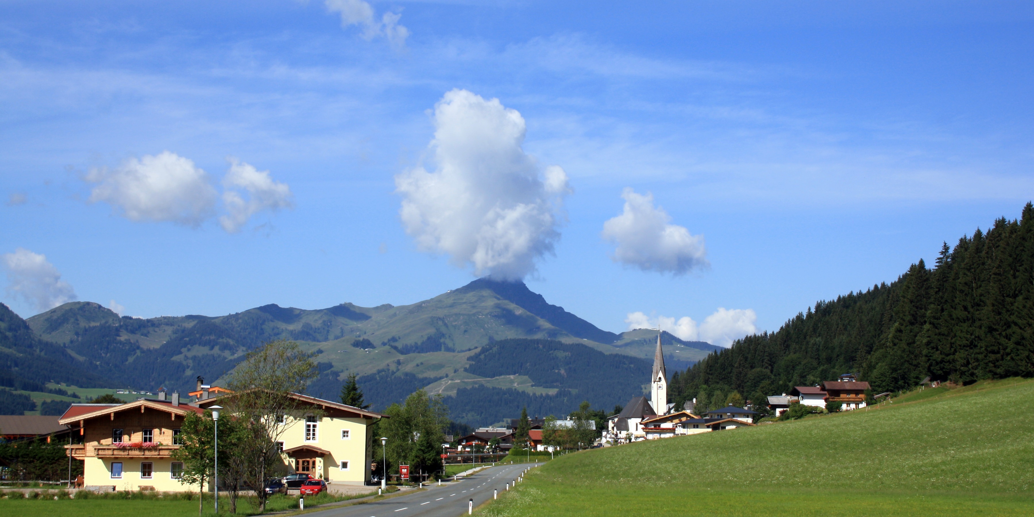
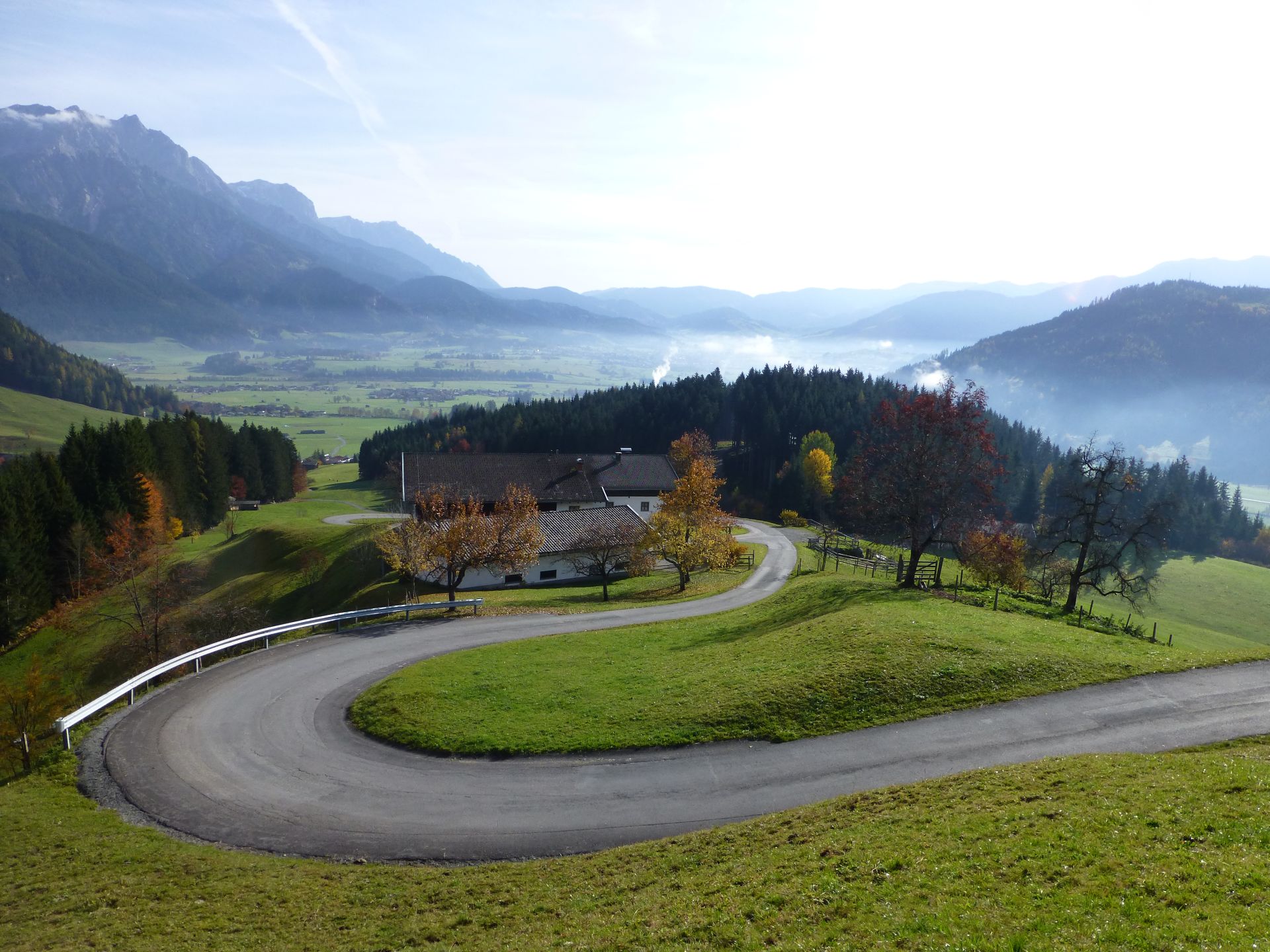
The Pillersee Valley (german: Pillerseetal) is a valley in the district of Kitzbühel District, Kitzbühel in the Austrian state of Tirol (Bundesland), Tyrol, on the border with Salzburg (Bundesland), Salzburg state. Location and landscape The Pillersee Valley is characterised, like its neighbouring valleys, by a concise valley-floor watershed near St. Jakob in Haus, where the two river valleys of the Pillerseetal meet: The northern valley branch drains through the Grieselbach, Pillersee and Loferbach (Saalach), Loferbach (Haselbach) streams into the Saalach/Salzach, and is bounded by the ''Öfenschlucht'' gorge (the ''Teufelsklamm''), part of the ''Strubtal'' valley of the Loferbach stream near Waidring. In the south, the entire east–west running valley of the Rothache and Fieberbrunner Ache (Pillersee Ache) rivers, from the Grießen Pass in the east to the parish boundary between Fieberbrunn and St. Johann in Tirol in the west, also counts as part of the Pillersee ... [...More Info...] [...Related Items...] OR: [Wikipedia] [Google] [Baidu] |
Fieberbrunn
Fieberbrunn is a market town in the Austrian state of Tyrol (state), Tyrol in the Kitzbühel (district), Kitzbühel district. It is located at , in the Kitzbühel Alps. Fieberbrunn is the most populous municipality in the Pillerseetal valley. According to a legend, the fountain near its church, and later also the market town received the name ''Fieberbrunn'' (''fever well'') when Tyrolean Countess Margarete Maultasch was healed from fever after drinking from it. Previously the market town was named ''Pramau''. Fieberbrunn is a winter sports resort and venue of international snowboarding events (like ''Lords of the Boards''), as well as a hiking and mountaineering resort in summer. Since 2006 Fieberbrunn is venue of a new event called 'SNOWFEVER', which is one of the biggest Big mountain skiing, Big Mountain Events in Austria. It is also home of the churchjump. Schloss Rosenegg is nearby. The bathing lake of the Lauchsee is important for summer tourism. Population Gallery Fi ... [...More Info...] [...Related Items...] OR: [Wikipedia] [Google] [Baidu] |
Kitzbühel Alps
The Kitzbühel Alps (german: Kitzbüheler Alpen or ''Kitzbühler Alpen'') are a mountain range of the Central Eastern Alps surrounding the town of Kitzbühel in Tyrol, Austria. Geologically they are part of the western slate zone (greywacke zone). Location Two-thirds of the Kitzbühel Alps lie within the Austrian province of Tyrol, the remaining third is in Salzburg province. They are about long from east to west and 25 to 35 km wide. They extend from the Ziller valley and Tux Alps in the west to the Saalach river and Zell am See on Lake Zell (''Zellersee'') in the east. They are bordered to the south by the Zillertal Alps and the High Tauern mountain range on the other side of the Salzach River, on the north by the Inn River and the Northern Limestone Alps. The boundary of the region runs along the Salzach valley via Zell am See, where the Salzach swings north, to Saalfelden. Its northern boundary runs from east to west from the Saalfelden basin along the valley of the ... [...More Info...] [...Related Items...] OR: [Wikipedia] [Google] [Baidu] |
Kitzbühel District
The Bezirk Kitzbühel is an administrative district (''Bezirk'') in Tyrol, Austria. It borders Bavaria (Germany) in the north, the Kufstein and Schwaz districts in the west, and the Pinzgau region (Salzburg) in the east and south. Area of the district is 1,163.06 km², population was 61,966 (January 1, 2012), and population density 53 persons per km². Administrative center of the district is Kitzbühel. Administrative divisions The district is divided into 20 municipalities, one of them is a town, and three of them are market towns. Towns # Kitzbühel (8,134) Market towns # Fieberbrunn (4,396) # Hopfgarten im Brixental (5,556) # Sankt Johann in Tirol (8,734) Municipalities # Aurach bei Kitzbühel (1,125) # Brixen im Thale (2,673) # Going am Wilden Kaiser (1,866) # Hochfilzen (1,139) # Itter (1,176) # Jochberg (1,583) # Kirchberg in Tirol (5,102) # Kirchdorf in Tirol (3,859) # Kössen (4,202) # Oberndorf in Tirol (2,019) # Reith bei Kitzbühel (1,678) # Sankt Jak ... [...More Info...] [...Related Items...] OR: [Wikipedia] [Google] [Baidu] |
List Of Mountain Ranges In The Eastern Alps (AVE)
A ''list'' is any set of items in a row. List or lists may also refer to: People * List (surname) Organizations * List College, an undergraduate division of the Jewish Theological Seminary of America * SC Germania List, German rugby union club Other uses * Angle of list, the leaning to either port or starboard of a ship * List (information), an ordered collection of pieces of information ** List (abstract data type), a method to organize data in computer science * List on Sylt, previously called List, the northernmost village in Germany, on the island of Sylt * ''List'', an alternative term for ''roll'' in flight dynamics * To ''list'' a building, etc., in the UK it means to designate it a listed building that may not be altered without permission * Lists (jousting), the barriers used to designate the tournament area where medieval knights jousted * ''The Book of Lists'', an American series of books with unusual lists See also * The List (other) * Listing (di ... [...More Info...] [...Related Items...] OR: [Wikipedia] [Google] [Baidu] |
Little German Corner
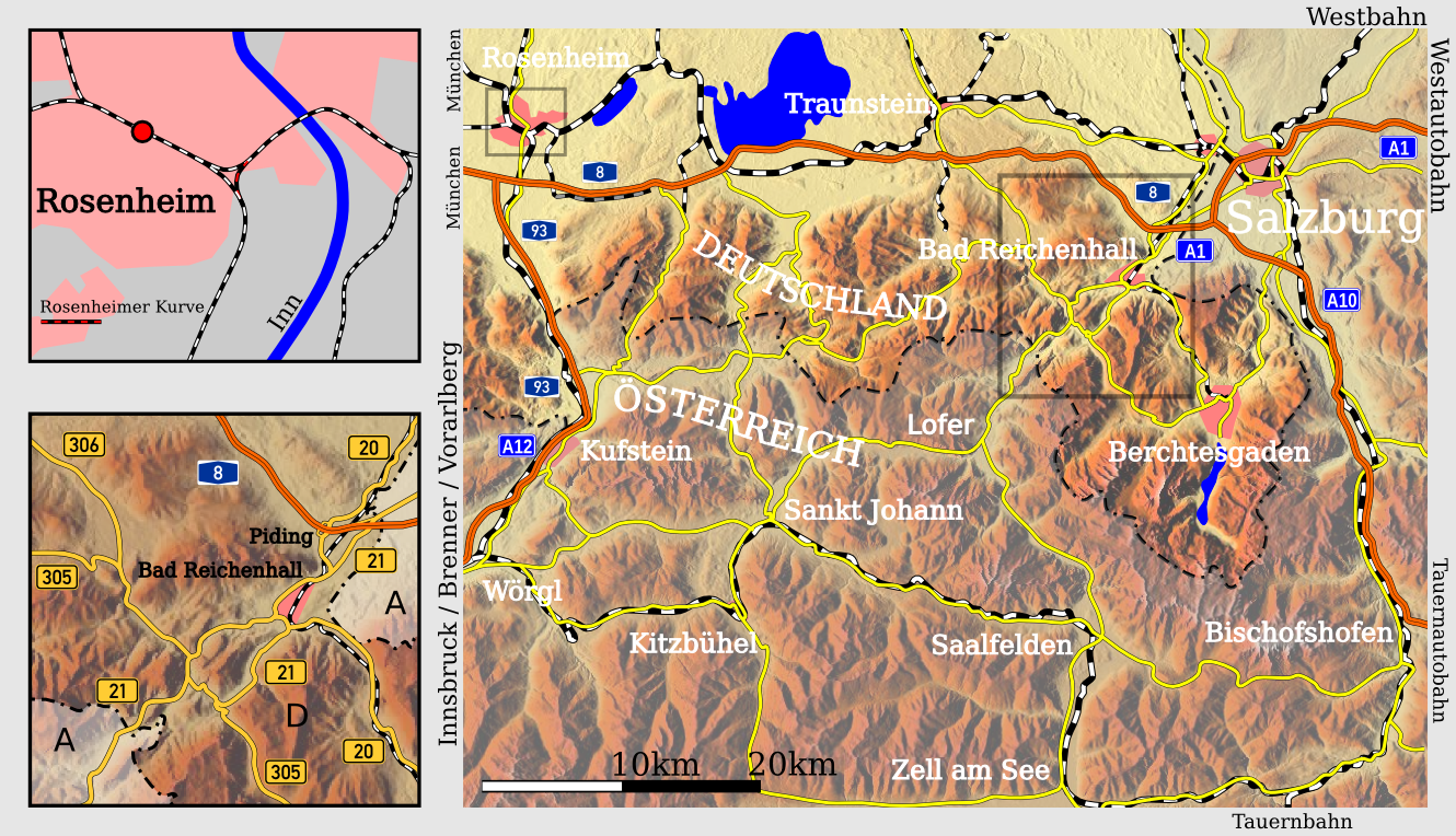
The ''Deutsches Eck'' ("German Corner") is the name given to the shortest and most convenient road and railway link between the Austrian metropolitan region of Salzburg and the Tyrolean Unterland with the state capital Innsbruck. Due to the mountainous landscape and the irregular course of the border, the main transport routes to the western Austrian states of Tyrol and Vorarlberg pass through the territory of the German state of Bavaria. While an alternative, albeit longer, all-Austrian Salzburg-Tyrol Railway exists, there is no continuous, intra-Austrian motorway route between the states of Salzburg and Tyrol. Großes Deutsches Eck A larger railway and autobahn (motorway) link runs from Salzburg westwards along the northern rim of the Chiemgau Alps to the Bavarian town of Rosenheim, then turns south through the Inn valley to reach the Tyrolean border at Kufstein. Since the conclusion of an 1851 treaty between the Austrian Empire and the Kingdom of Bavaria, [...More Info...] [...Related Items...] OR: [Wikipedia] [Google] [Baidu] |
Wörgl
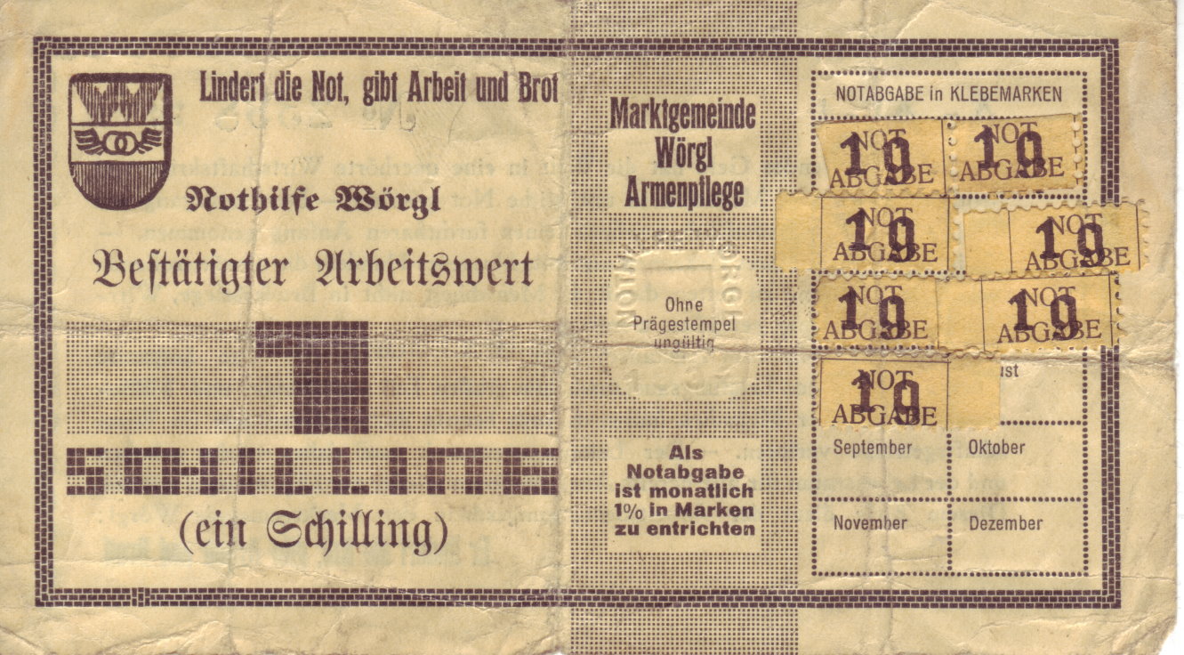
Wörgl () is a city in the Austrian state of Tyrol, in the Kufstein district. It is from the international border with Bavaria, Germany. Population Transport Wörgl is an important railway junction between the line from Innsbruck to Munich, and the inner-Austrian line to Salzburg. Its railway station has been designated as a ''Hauptbahnhof'' (german: main station) since 10 December 2006. European route E641 connects Wörgl with Salzburg, the routes E45 and E60 (Austrian autobahn A12) pass through Wörgl. File:Bahnhof Wörgl alt.jpg, Wörgl railway station in 1900 File:Wörgl Gare 1965.jpg, Wörgl railway station in 1965 History World War II Nearby Itter Castle was the site of one of the last European and most unusual battles of World War II. The Battle for Itter Castle was fought on 5 May 1945 by surrendered Wehrmacht troops, the United States Army, Austrian Resistance fighters and former French political prisoners against the 17th ''Waffen-SS Panzer Grenadier'' Di ... [...More Info...] [...Related Items...] OR: [Wikipedia] [Google] [Baidu] |
Kitzbühel
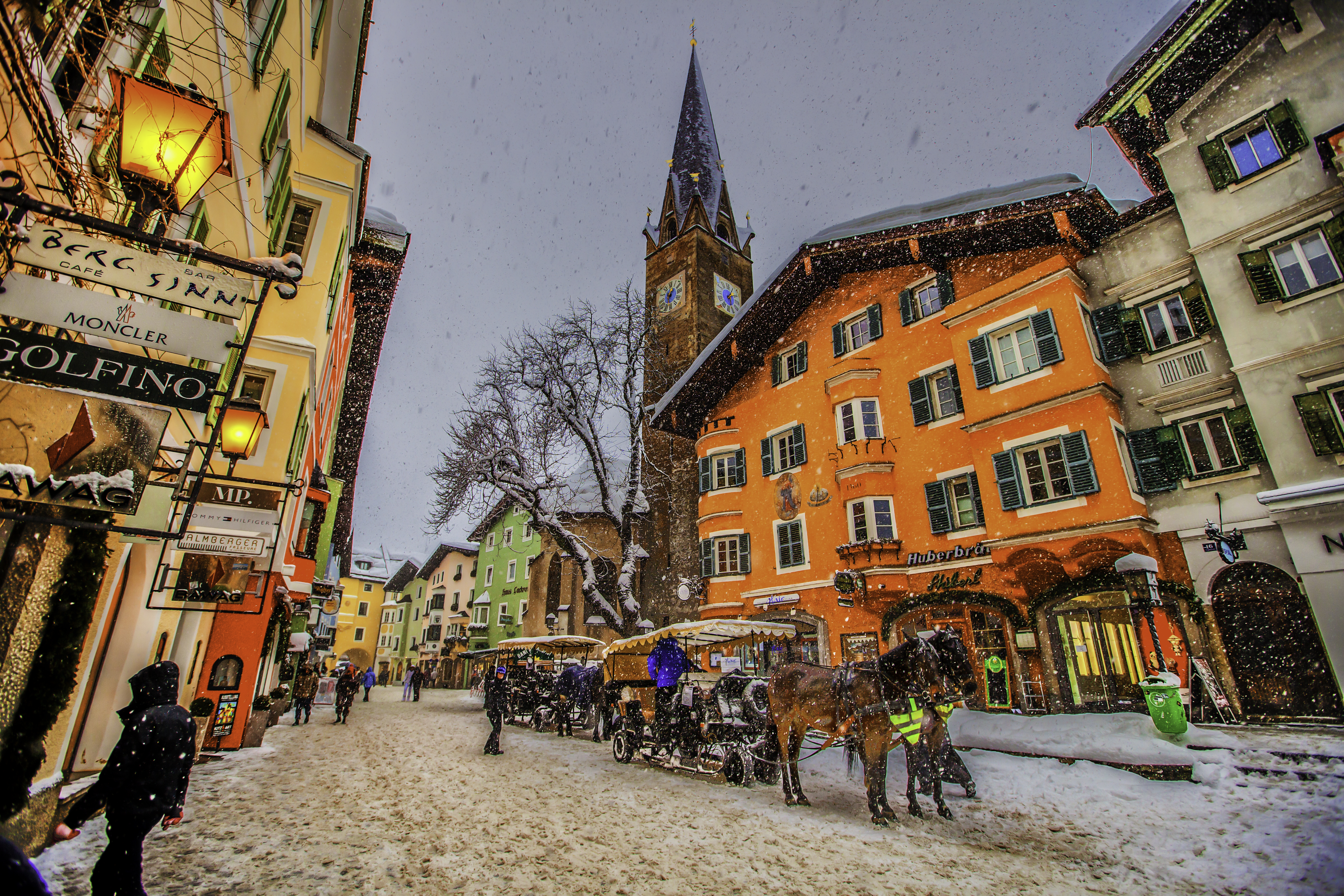
Kitzbühel (, also: ; ) is a medieval town situated in the Kitzbühel Alps along the river Kitzbüheler Ache in Tyrol, Austria, about east of the state capital Innsbruck and is the administrative centre of the Kitzbühel district (). Kitzbühel is one of the most famous and exclusive ski resorts in the world. It is frequented primarily by the international high society and has the most expensive real estate in Austria. The proximity to Munich has made it a preferred location for vacation homes among the German elite. Geography Kitzbühel is situated in the Kitzbühel Alps between Zell am See and Innsbruck. It lies in the Leukental valley on the Kitzbüheler Ache river. The town is subdivided into the municipalities of Am Horn, Aschbachbichl, Badhaussiedlung, Bichlach, Ecking, Felseneck, Griesenau, Griesenauweg, Gundhabing, Hagstein, Hausstatt, Henntal, Jodlfeld, Kaps, Mühlau, Obernau, Schattberg, Seereith, Siedlung Frieden, Am Sonnberg, Sonnenhoffeld, Staudach, Stockerdör ... [...More Info...] [...Related Items...] OR: [Wikipedia] [Google] [Baidu] |
Saalfelden
Saalfelden am Steinernen Meer is a town in the district of Zell am See District, Zell am See in the Austrian state of Salzburg (state), Salzburg. With approximately 16,000 inhabitants, Saalfelden is the district's largest town and Salzburg (state)#Major cities and towns, the third of the federal state after Salzburg and Hallein. Geography Although the Saalfelden area has always been the most populous of the historic Zell am See District, Pinzgau region, the seat of the district administration is situated in the neighbouring town of Zell am See. Saalfelden Basin Saalfelden am Steinernen Meer lies at above sea level and its municipal area covers . The largest proportion of the municipality is formed by the Saalfelden Structural basin, Basin (''Saalfeldner Becken'') situated between the Northern Limestone Alps ranges of: * the Steinernes Meer high plateau to the north, forming the border with Germany * the Leogang Mountains and the Biberg to the west * the Hochkönig (mountain), Ho ... [...More Info...] [...Related Items...] OR: [Wikipedia] [Google] [Baidu] |
Hochfilzen
Hochfilzen is a town and municipality in the Kitzbühel district of the Austrian state of Tyrol. It is located in the Pillersee valley 5 km east of Fieberbrunn. Population was 1,147 in 2016. It is a popular winter sports resort, especially for cross-country skiing. In 2017 (9 to 19 February) it hosted the Biathlon World Championships, as it also did in 2005, 1998 and 1978, and it is a regular venue in the annual IBU World Cup series. Training area In 1875 Hochfilzen was joined to the railway network and soon afterwards a military training area was established here. The training area is used today by the Austrian Bundesheer as an army sports centre for biathlon as well as survival training by the Jagdkommando The Jagdkommando (German for ''Hunting Commando'') is the Austrian Armed Forces' Special Operations group. Role The duties of this elite unit, like its counterparts such as the United States Army Special Forces, are chiefly counter-terrorism an .... The trainin ... [...More Info...] [...Related Items...] OR: [Wikipedia] [Google] [Baidu] |
