|
Pennsylvania Route 926
Pennsylvania Route 926 (PA 926) is a state route located west of Philadelphia in Chester County, Pennsylvania. The western terminus of the route is at PA 10 in Upper Oxford Township. The eastern terminus is at PA 3 in the Philadelphia suburb of Willistown Township. The route is known as Street Road for its entire length. For , PA 926 runs along the county line between Delaware and Chester counties. The route passes through a mix of suburban and rural areas along its extent. PA 926 is two lanes and undivided its entire length. In colonial times, William Penn laid out a road in Marlborough Township called Marlborough Street. This road would be incorporated into a road surveyed in 1815 called Street Road that ran between Philadelphia and the Susquehanna River. PA 926 was first designated by 1928 on a different alignment running from U.S. Route 122 (US 122, now US 202/US 322) east to PA 129, a route that was designated along Street Road between US 122 and PA 352. By 1930, PA 92 ... [...More Info...] [...Related Items...] OR: [Wikipedia] [Google] [Baidu] |
Upper Oxford Township, Pennsylvania
Upper Oxford Township is a township in Chester County, Pennsylvania, United States. As of the 2010 census, the township had a population of 2,484. Geography According to the United States Census Bureau, the township has a total area of , all of it land. Demographics At the 2010 census, the township was 86.1% non-Hispanic White, 3.7% Black or African American, 0.4% Native American, 0.3% Asian, and 2.1% were two or more races. 7.8% of the population were of Hispanic or Latino ancestry. At the 2000 census there were 2,095 people, 725 households, and 584 families living in the township. The population density was 124.8 people per square mile (48.2/km). There were 743 housing units at an average density of 44.3/sq mi (17.1/km). The racial makeup of the township was 91.69% White, 3.68% African American, 0.38% Native American, 0.33% Asian, 2.43% from other races, and 1.48% from two or more races. Hispanic or Latino of any race were 2.67%. There were 725 households, 40.6% ... [...More Info...] [...Related Items...] OR: [Wikipedia] [Google] [Baidu] |
Susquehanna River
The Susquehanna River (; Lenape: Siskëwahane) is a major river located in the Mid-Atlantic region of the United States, overlapping between the lower Northeast and the Upland South. At long, it is the longest river on the East Coast of the United States. By watershed area, it is the 16th-largest river in the United States,Susquehanna River Trail Pennsylvania Fish and Boat Commission, accessed March 25, 2010.Susquehanna River , Green Works Radio, accessed March 25, 2010. and also the longest river in ... [...More Info...] [...Related Items...] OR: [Wikipedia] [Google] [Baidu] |
East Marlborough Township, Pennsylvania
East Marlborough Township is a township in Chester County, Pennsylvania, United States. The population was 7,026 at the 2010 census. East Marlborough and West Marlborough townships were carved out of the larger Marlborough Township in 1729. The township is home to many Penn Oak trees, trees that were in existence when William Penn explored the area. The well-known Longwood Gardens is located in East Marlborough Township. History Cedarcroft, Green Valley Historic District, Longwood Gardens District, Marlborough Village Historic District, South Brook Farm, Unionville Village Historic District, and the Gideon Wickersham Farmstead are listed on the National Register of Historic Places. Geography According to the United States Census Bureau, the township has a total area of , all of it land. Adjacent townships *Newlin Township (north) * Pocopson Township (northeast) * Pennsbury Township (east) * Kennett Township (south) * New Garden Township (southwest) * West Marlborough Townsh ... [...More Info...] [...Related Items...] OR: [Wikipedia] [Google] [Baidu] |
London Grove, Pennsylvania
London Grove is an unincorporated community in West Marlborough Township in Chester County, Pennsylvania, United States. London Grove is located at the intersection of Pennsylvania Route 926 Pennsylvania Route 926 (PA 926) is a state route located west of Philadelphia in Chester County, Pennsylvania. The western terminus of the route is at PA 10 in Upper Oxford Township. The eastern terminus is at PA 3 in the Philadelphia suburb ... and Newark Road north of Avondale. There was a blacksmithshop (at the middle of the intersection) and a general store, now the parking lot for an apartment building. References External links * {{authority control Unincorporated communities in Chester County, Pennsylvania Unincorporated communities in Pennsylvania ... [...More Info...] [...Related Items...] OR: [Wikipedia] [Google] [Baidu] |
White Clay Creek
White Clay Creek is an U.S. Geological Survey. National Hydrography Dataset high-resolution flowline dataThe National Map accessed April 1, 2011 tributary of the Christina River in southern Pennsylvania and northern Delaware in the United States. It is renowned for its scenic character and is largely federally protected. The White Clay Creek watershed is home to nearly 100,000 people and includes parts of Chester County, Pennsylvania and New Castle County, Delaware. The Pennsylvania portion still retains a rural character while the Delaware portion is more suburbanized. Sediment eroded from the rolling hills of Chester County is carried into the White Clay, probably accounting for the creek's name. The majority of the stream is in the Piedmont region which is characterized by rolling hills, plateaus, and stream valleys. The southern portion of the stream, near Newark is in the Atlantic Coastal Plain, a relatively flat area that is dotted with large tidal wetlands. The White Cla ... [...More Info...] [...Related Items...] OR: [Wikipedia] [Google] [Baidu] |
Pennsylvania Route 841
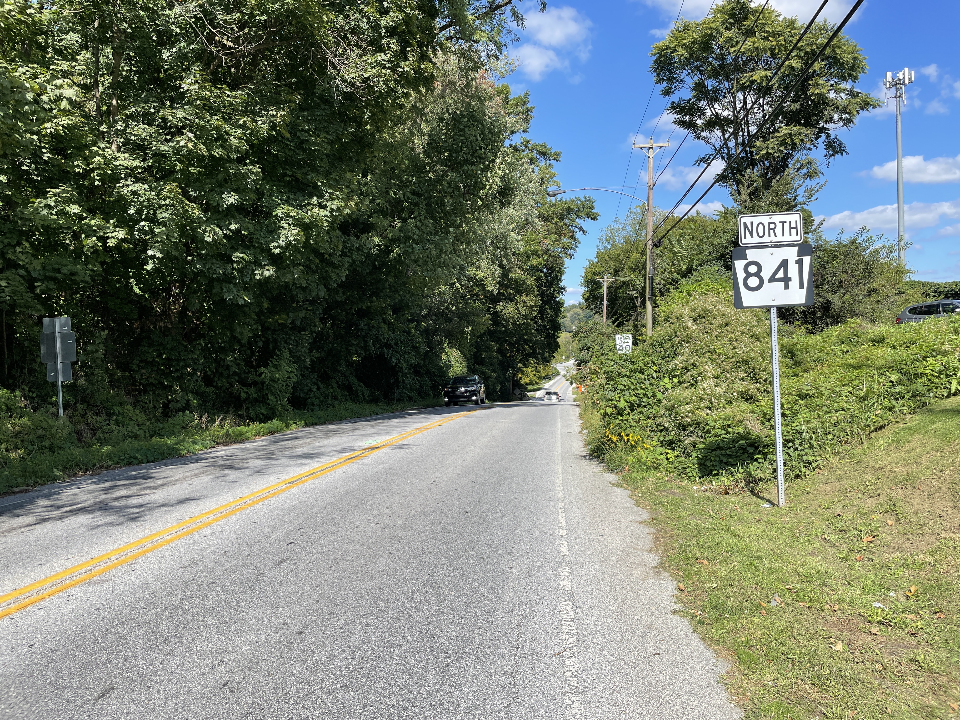
Pennsylvania Route 841 (PA 841) is a state highway in Chester County, Pennsylvania. The route runs from the Maryland border in the community of Lewisville in Elk Township, where the road continues as Maryland Route 213 (MD 213), north to PA 82 in the community of Doe Run in West Marlborough Township. The route heads through rural areas of southwestern Chester County on a two-lane undivided road. PA 841 passes through West Grove, where it has an interchange with U.S. Route 1 (US 1). PA 841 was first assigned to an unpaved road running from Springdell to PA 82 in 1928. The route was extended south to its current terminus in 1937 and was completely paved by 1940. Route description PA 841 begins at the Maryland border in the community of Lewisville in Elk Township, Chester County, where the road continues south into that state as MD 213. From the state line, the route heads north on two-lane undivided Chesterville Road, intersecting the southern terminus of PA 472 a short ... [...More Info...] [...Related Items...] OR: [Wikipedia] [Google] [Baidu] |
London Grove Township, Chester County, Pennsylvania
London Grove Township is a township in Chester County, Pennsylvania, United States. The population was 8,797 at the 2020 census. Geography According to the United States Census Bureau, the township has a total area of , of which 0.06% is water. London Grove Township is located in southern Chester County in Pennsylvania's rolling Piedmont region. The township traditionally has been an agricultural community, but has recently also become an attractive place to live as development pushes west from Philadelphia and north from Wilmington, Delaware. Demographics At the 2010 census, the township was 76.1% non-Hispanic White, 3.8% Black or African American, 0.1% Native American, 1.8% Asian, 0.1% Native Hawaiian or other Pacific Islander, and 1.8% were two or more races. 17.6% of the population were of Hispanic or Latino ancestry. At the 2000 census there were 5,265 people, 1,633 households, and 1,365 families living in the township. The population density was 305.9 people per sq ... [...More Info...] [...Related Items...] OR: [Wikipedia] [Google] [Baidu] |
West Marlborough Township, Pennsylvania
West Marlborough Township is a township in Chester County, Pennsylvania, United States. The population was 814 at the 2010 census. East Marlborough and West Marlborough townships were carved out of the larger Marlborough Township in 1729. West Marlborough Township is a second class township, governed by a three-member Board of Supervisors who meet monthly at the township garage in the village of Doe Run. Other elected officials include an auditor, constable, and political party committee members. A Planning Commission is appointed by the supervisors and serve to advise the supervisors as to real estate subdivision, zoning, the township comprehensive plan, and similar matters. History For many years the King Ranch was the largest landowner in West Marlborough Township and adjoining municipalities Newlin and East Fallowfield townships. The ranch property, operated as Buck and Doe Run Valley Farms, Inc., received Texas longhorn cattle shipped north by railroad for fattening on th ... [...More Info...] [...Related Items...] OR: [Wikipedia] [Google] [Baidu] |
Pennsylvania Route 41
Pennsylvania Route 41 (PA 41) is a state highway located in southeastern Pennsylvania, United States. The southern terminus of the route is at the Delaware state line in Kennett Township, where the road continues as Delaware Route 41 (DE 41). The northern terminus is at U.S. Route 30 (US 30) in Gap. PA 41 runs along a two-lane undivided road called Gap Newport Pike, passing through mostly rural areas of Chester and Lancaster counties and serving Avondale, Chatham, Cochranville, and Atglen. The route serves as part of the main road linking Wilmington, Delaware to Lancaster, Pennsylvania. The Gap and Newport Turnpike was charted in 1807 to run from Gap southeast to the Delaware border, where it was to continue to Newport, Delaware. PA 41 was first designated in 1926 to run between US 22/ PA 3/ PA 13 in Harrisburg and US 22/PA 3 and US 120/PA 13 in Reading, following US 230 between Harrisburg and Lancaster and US 222 between Lancaster and Reading. PA 41 was rerouted at Lanc ... [...More Info...] [...Related Items...] OR: [Wikipedia] [Google] [Baidu] |
Pennsylvania Route 796
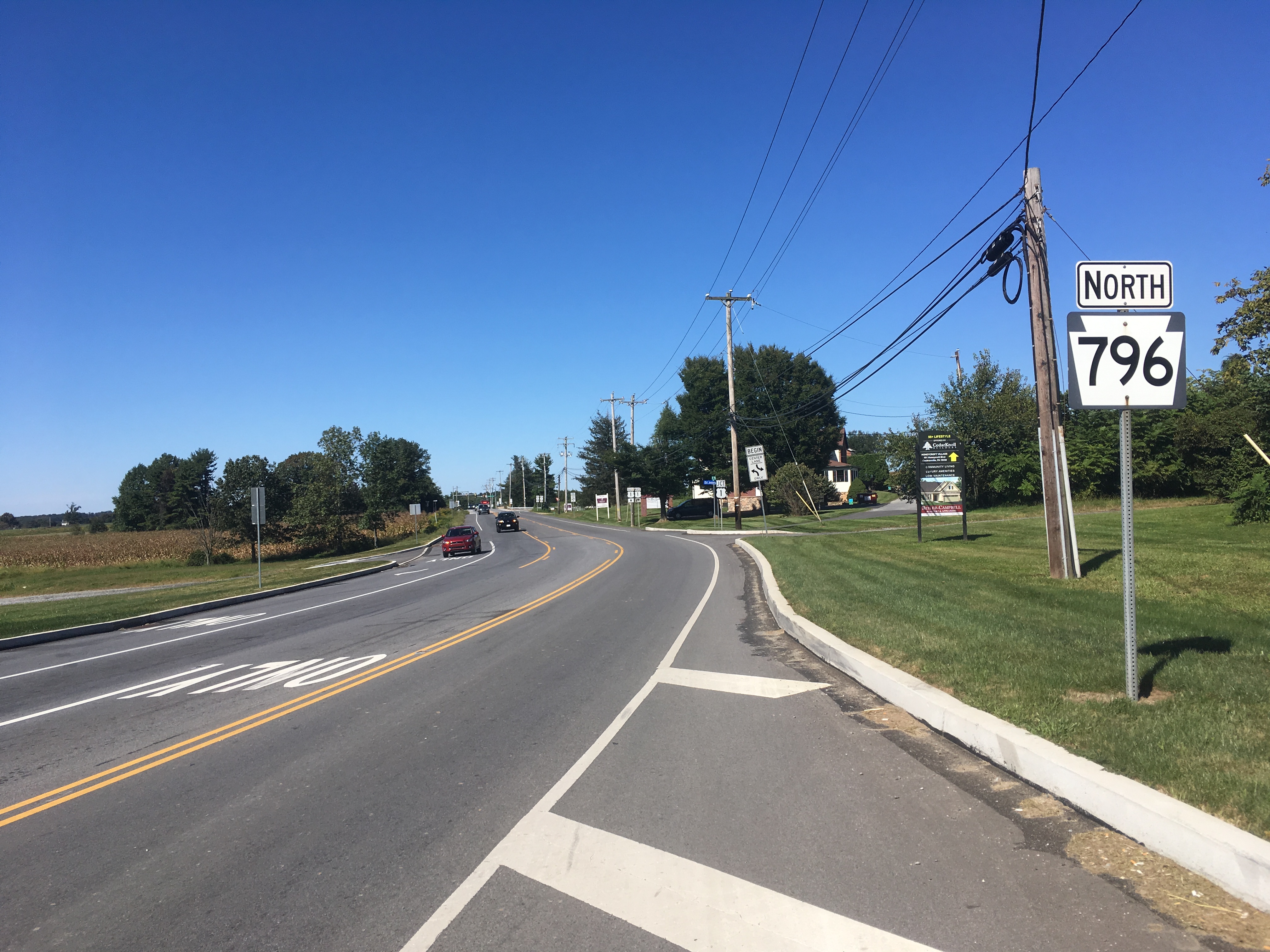
Pennsylvania Route 796 (PA 796) is a state highway in Chester County, Pennsylvania. The route runs from PA 896 in New London Township north to PA 41 in Londonderry Township. PA 796 heads through rural areas with some development along its route. In Jennersville, the route crosses Baltimore Pike and has an interchange with the U.S. Route 1 (US 1) freeway. PA 796 crosses PA 926 a short distance south of its northern terminus. PA 796 was originally designated by 1930 between the Maryland border near Kemblesville and north of Jennersville. In 1937, the southern terminus was moved to its current location, with PA 896 replacing the route south to the Maryland border, while the northern end was extended to PA 926 by 1940. PA 796 was extended north to PA 41 in the 1940s. Route description PA 796 begins at an intersection with PA 896 in New London Township, Chester County, heading north on two-lane undivided Jennersville Road. The route soon crosses into Penn Township and curve ... [...More Info...] [...Related Items...] OR: [Wikipedia] [Google] [Baidu] |
Elk River (Maryland)
The Elk River is a tidal tributary of the Chesapeake Bay on the Eastern Shore of Maryland and on the northern edge of the Delmarva Peninsula. It is about long.U.S. Geological Survey. National Hydrography Dataset high-resolution flowline dataThe National Map , accessed April 1, 2011 As the most northeastern extension of the Chesapeake Bay estuary, it has served as one entrance to the Chesapeake & Delaware Canal since the 19th century. The canal and river now serve as one boundary of the Elk Neck Peninsula. The river flows through Cecil County, Maryland, with its watershed extending into New Castle County, Delaware and Chester County, Pennsylvania. Elkton, the county seat of Cecil County, is located at its head. Its total watershed area is (including the Bohemia River), with of open water, so its watershed is 15% open water. It is south and east of the North East River, and north of the Sassafras River. Course The Elk River begins at the confluence of Big Elk Creek and Littl ... [...More Info...] [...Related Items...] OR: [Wikipedia] [Google] [Baidu] |


