|
Penganga River
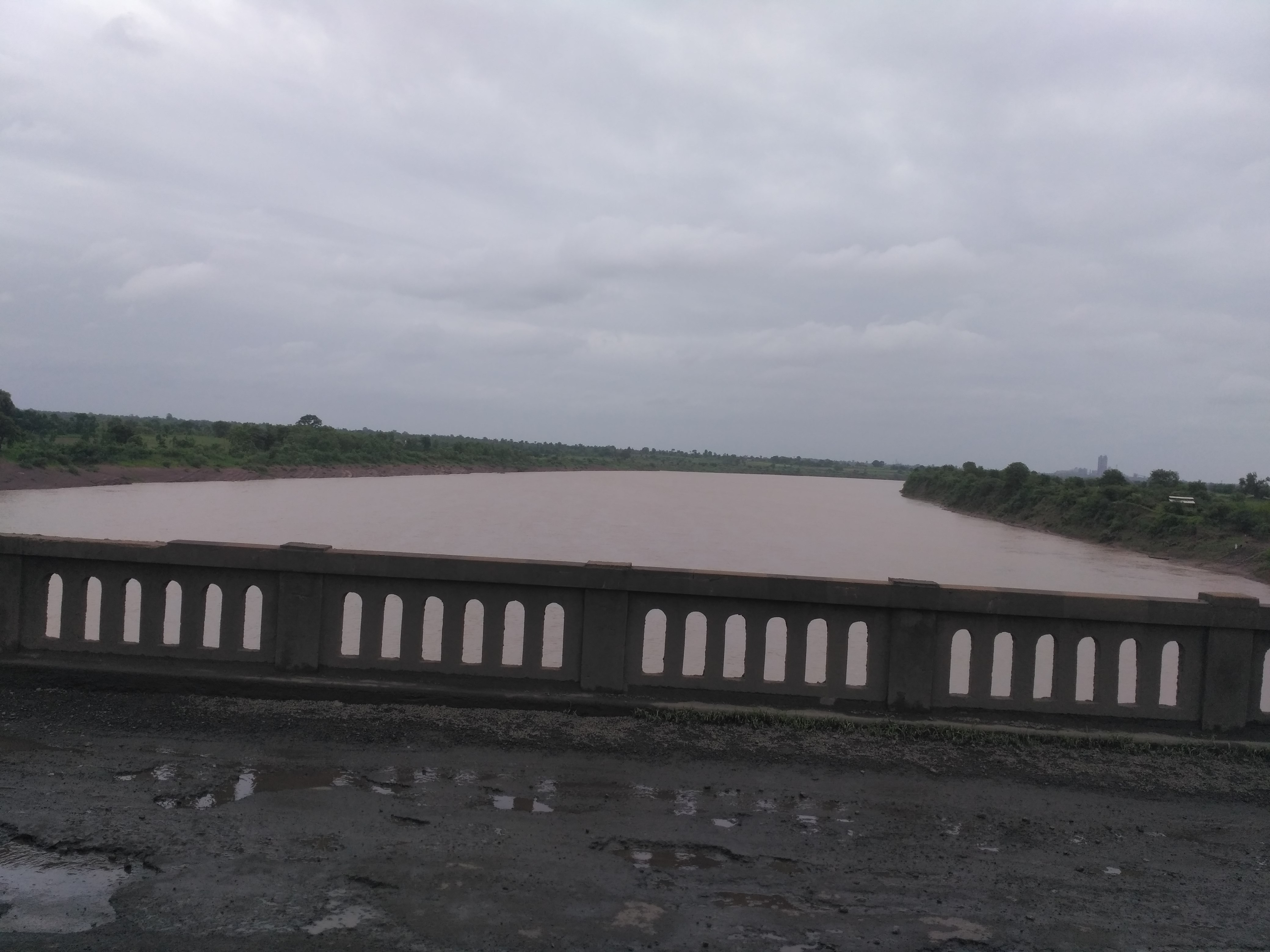
The Painganga River (also known as the Penganga River) is the chief river of the Buldhana district, Hingoli district, Nanded district, Yavatmal district, Chandrapur district and Washim district in the Maharashtra state in India. It flows along the southeast boundaries of the district in a winding, meandering course. It is deeply entrenched and difficult to navigate. It rises in the Ajantha range and is a major tributary of the Wardha River, the other major river in the district. It is also divided Marathwada and Vidarbha near Umarkhed. There is a small railway station named after the river in the Washim district. River course The total length of the river is . The Painganga River originates in the Ajantha ranges in Aurangabad district in Maharashtra. It then flows through Buldhana district and Washim district. It flows through Risod Tehsil of Washim where it gets Kas river as the tributary near Shelgaon Rajgure village and then flows through the border of Washim and Hingoli di ... [...More Info...] [...Related Items...] OR: [Wikipedia] [Google] [Baidu] |
Mahur, Maharashtra
Mahur or Mahurgad is a town and religious place in Nanded district of Maharashtra, India. Mahur is the birthplace of Hindu God Dattatreya. Dattatreya parents Atri Rishi and Sati Anasuya Mata lived here. Brahmadev, Vishnudev and Lord Shiva once got a news about Anusaya Mata that there is no one more pious and pure as her. To test her piousness they arrived under the garb of asking Alm (bhiksha). Near Mahur, There is a Pious confluence of River Penganga and River Pus at Hiwara Sangam village, Tal. Mahagaon Vidarbha, from where the river flows northward. Penganga river forms a border between Vidarbha and Marathwada. Mahur falls just about 3kms inside Marathwada due to river banks. There are three mountains in Mahur. The first one is having Renuka Mahar devi mata Temple, who is mother of the god Parshuram. Other two are called Datta Shikhar and Atri Anasuya Shikar Temples. Datta Shikhar is highest of all. Mahur has a sacred temple to Renuka Mata, which is considered one of the ... [...More Info...] [...Related Items...] OR: [Wikipedia] [Google] [Baidu] |
Kas River
The Kas River is a seasonal river located in the Washim and Buldhana districts of western Vidarbha, Maharashtra, India. It is approximately 56 km long. The river originates in the hilly areas of Buldhana district. This hills are part of Ajanta Ranges. Because the hills have seasonal rains, the Kas River remains dry for nearly six months of the year. The river flows southeast from its origin and meets the Penganga River The Painganga River (also known as the Penganga River) is the chief river of the Buldhana district, Hingoli district, Nanded district, Yavatmal district, Chandrapur district and Washim district in the Maharashtra state in India. It flows along the ... near the village Shelgaon Rajgure. Rivers of Maharashtra Rivers of India {{India-river-stub ... [...More Info...] [...Related Items...] OR: [Wikipedia] [Google] [Baidu] |
Adan River
The Adan River ( mr, अडाण नदी) is a river in Washim District, Maharashtra, India and a principal tributary of the Painganga River. Geography The source of the Adan River is in the Washim district of Maharashtra. The Arunavati River meets the Adan River about 13 kilometres before it joins the Painganga River. The river dries up in the summer, leaving only pools towards the end of its course. Two dams have been built on the Adan; one at its origin near Sonala village and the other near Karanja Lad city, both in Washim District. The river then flows shrubland. Adan Dam was built in 1977 near Karanja Lad, Washim district around 13 km from where the Adan River meets the Painanga. Environmental Impact of the Adan Dam In two separate reports on the environmental impact of the Adan Dam on the aquatic biodiversity of the river and the surrounding fishing communities in 2008 and 2012, Dr Nilesh K. Heda reported the following effects: * Effect on Fishing Communitie ... [...More Info...] [...Related Items...] OR: [Wikipedia] [Google] [Baidu] |
Andhra Pradesh
Andhra Pradesh (, abbr. AP) is a state in the south-eastern coastal region of India. It is the seventh-largest state by area covering an area of and tenth-most populous state with 49,386,799 inhabitants. It is bordered by Telangana to the north-west, Chhattisgarh to the north, Odisha to the north-east, Tamil Nadu to the south, Karnataka to the west and the Bay of Bengal to the east. It has the second longest coastline in India after Gujarat, of about . Andhra State was the first state to be formed on a linguistic basis in India on 1 October 1953. On 1 November 1956, Andhra State was merged with the Telugu-speaking areas (ten districts) of the Hyderabad State to form United Andhra Pradesh. ln 2014 these merged areas of Hyderabad State are bifurcated from United Andhra Pradesh to form new state Telangana . Present form of Andhra similar to Andhra state.but some mandalas like Bhadrachalam still with Telangana. Visakhapatnam, Guntur, Kurnool is People Capital of And ... [...More Info...] [...Related Items...] OR: [Wikipedia] [Google] [Baidu] |


