|
Paxauxa
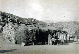
Paxauxa was a shared Tongva and Payómkawichum village site located at what is now Corona, California along Temescal Creek. Villagers may have appeared in baptismal records at Mission San Juan Capistrano as being from the village Axaxa. Nearby villages included Poruumanga and Shiishonga. It is sometimes alternatively spelled Pakhavka. Etymology The village name may have been derived from the Tongva language word ''Axawknga'', roughly translated to "in the net." History Paxauxa was the site of two villages located on either side of the Temescal Creek on the southern edge of Tovaangar and the northern edge of Payómkawichum territory, with Lake Elsinore to the south being within Payómkawichum homelands. This likely made it an important site for the Tongva and Payómkawichum socially and politically, since cooperation and marriage ties between the villagers were common. After the establishment of Mission San Juan Capistrano in 1776, several of the villagers were brought to an ... [...More Info...] [...Related Items...] OR: [Wikipedia] [Google] [Baidu] |
Corona, California
Corona (Spanish for "Crown") is a city in Riverside County, California, United States. At the 2020 census, the city had a population of 157,136, up from 152,374 at the 2010 census. The cities of Norco and Riverside lie to the north and northeast, Chino Hills and Yorba Linda to the northwest, Anaheim to the west, Cleveland National Forest and the Santa Ana Mountains to the southwest, and unincorporated Riverside County along the rest of the city's borders. Downtown Corona is approximately southeast of Downtown Los Angeles and north-northwest of San Diego. Corona, located along the western edge of Southern California's Inland Empire region, is known as the "Circle City" due to Grand Boulevard's circular layout. It is one of the most residential cities in the Inland Empire, but also has a large industrial portion on the northern half, being the headquarters of companies such as Fender Musical Instruments Corporation, Monster Beverage Corporation, and supercar manufacturer ... [...More Info...] [...Related Items...] OR: [Wikipedia] [Google] [Baidu] |
Tongva
The Tongva ( ) are an Indigenous people of California from the Los Angeles Basin and the Southern Channel Islands, an area covering approximately . Some descendants of the people prefer Kizh as an endonym that, they argue, is more historically accurate. In the precolonial era, the people lived in as many as 100 villages and primarily identified by their village rather than by a pan-tribal name. During colonization, the Spanish referred to these people as Gabrieleño and Fernandeño, names derived from the Spanish missions built on their land: Mission San Gabriel Arcángel and Mission San Fernando Rey de España. ''Tongva'' is the most widely circulated endonym among the people, used by Narcisa Higuera in 1905 to refer to inhabitants in the vicinity of Mission San Gabriel. Along with the neighboring Chumash, the Tongva were the most influential people at the time of European encounter. They had developed an extensive trade network through ''te'aats'' (plank-built boats). Their ... [...More Info...] [...Related Items...] OR: [Wikipedia] [Google] [Baidu] |
Puhú
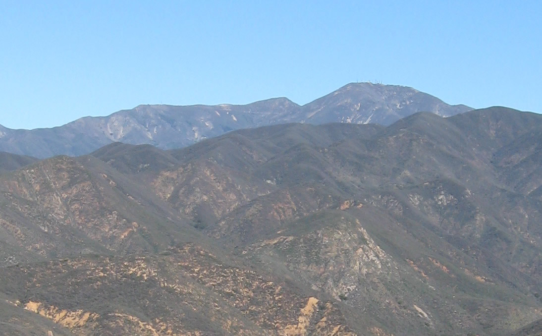
Puhú (''Payómkawichum'': “its arrow place”) was a major residential village in the Santa Ana Mountains shared by the Tongva, Acjachemen, Payómkawichum, and Serrano near Santiago Peak. The village resided approximately 600m above sea level in the upper areas of the Black Star Canyon. The village was at its height from the years 1220-1770. The village retained its multi-seasonal occupancy and economic and political systems up until its destruction and a communal massacre in 1832. The Puhú site is listed as a California Historical Landmark as the ''Black Star Canyon Indian Village Site'', registered in 1935 and named after the Black Star Coal Mining Company that operated in the area in the late nineteenth century. The village site is north of the town of Silverado. Village life Several archaeological excavations of Puhú were conducted from the 1930s onward and found that it featured "17 bedrock milling/ rock art features surrounding a single mounded habitation midd ... [...More Info...] [...Related Items...] OR: [Wikipedia] [Google] [Baidu] |
California Mission Indians
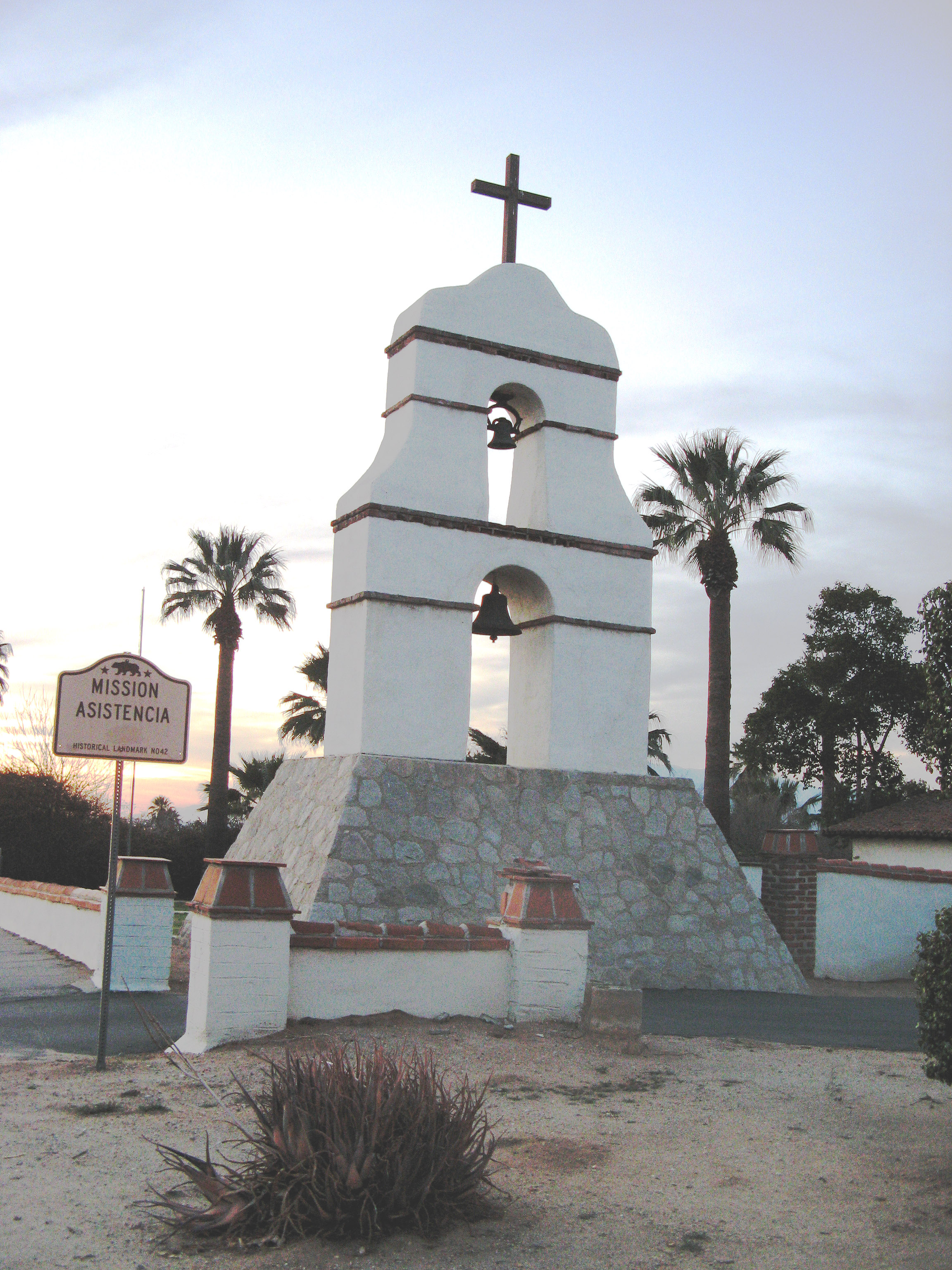
Mission Indians are the indigenous peoples of California who lived in Southern California and were forcibly relocated from their traditional dwellings, villages, and homelands to live and work at 15 Franciscan missions in Southern California and the ''Asistencias'' and ''Estancias'' established between 1796 and 1823 in the Las Californias Province of the Viceroyalty of New Spain. History Spanish explorers arrived on California's coasts as early as the mid-16th century. In 1769 the first Spanish Franciscan mission was built in San Diego. Local tribes were relocated and conscripted into forced labor on the mission, stretching from San Diego to San Francisco. Disease, starvation, excessive physical labor and torture decimated these tribes.Pritzker, 114 Many were baptized as Roman Catholics by the Franciscan missionaries at the missions. Mission Indians were from many regional Native American tribes; their members were often relocated together in new mixed groups, and the Spanish ... [...More Info...] [...Related Items...] OR: [Wikipedia] [Google] [Baidu] |
Luiseño People
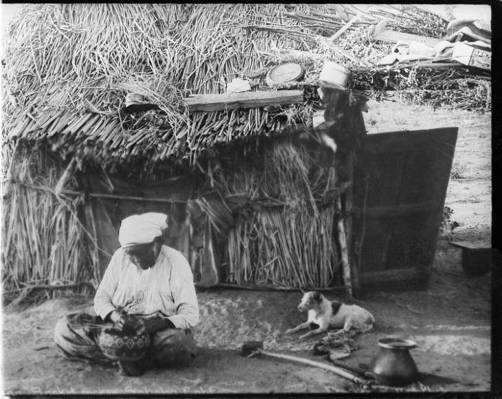
The Luiseño or Payómkawichum are an indigenous people of California who, at the time of the first contacts with the Spanish in the 16th century, inhabited the coastal area of southern California, ranging from the present-day southern part of Los Angeles County to the northern part of San Diego County, and inland . In the Luiseño language, the people call themselves ''Payómkawichum'' (also spelled ''Payómkowishum''), meaning "People of the West." After the establishment of Mission San Luis Rey de Francia (The Mission of Saint Louis King of France), "the Payómkawichum began to be called San Luiseños, and later, just Luiseños by Spanish missionaries due to their proximity to this San Luis Rey mission. Today there are six federally recognized tribes of Luiseño bands based in southern California, all with reservations. Another organized band is not federally recognized. History Pre-colonization The Payómkawichum were successful in utilizing a number of natural resour ... [...More Info...] [...Related Items...] OR: [Wikipedia] [Google] [Baidu] |
Tongva Populated Places
The Tongva ( ) are an Indigenous people of California from the Los Angeles Basin and the Southern Channel Islands, an area covering approximately . Some descendants of the people prefer Kizh as an endonym that, they argue, is more historically accurate. In the precolonial era, the people lived in as many as 100 villages and primarily identified by their village rather than by a pan-tribal name. During colonization, the Spanish referred to these people as Gabrieleño and Fernandeño, names derived from the Spanish missions built on their land: Mission San Gabriel Arcángel and Mission San Fernando Rey de España. ''Tongva'' is the most widely circulated endonym among the people, used by Narcisa Higuera in 1905 to refer to inhabitants in the vicinity of Mission San Gabriel. Along with the neighboring Chumash, the Tongva were the most influential people at the time of European encounter. They had developed an extensive trade network through ''te'aats'' (plank-built boats). The ... [...More Info...] [...Related Items...] OR: [Wikipedia] [Google] [Baidu] |
Yaanga
Yaanga was a large Tongva (or Kizh) village originally located near what is now downtown Los Angeles, just west of the Los Angeles River and beneath U.S. Route 101. People from the village were recorded as ''Yabit'' in missionary records although were known as ''Yaangavit'', ''Yavitam'', or ''Yavitem'' among the people. It is unclear what the exact population of Yaanga was prior to colonization, although it was recorded as the largest and most influential village in the region. Yaangavit were treated as slave laborers during the Mission period by Franciscan padres to construct and work at San Gabriel Mission and ''Nuestra Señora Reina de los Ángeles Asistencia'' and forced laborers for the Spanish, Mexican, and American settlers to construct and expand Los Angeles. The colonizers' dependency on Yaanga for forced labor is thought to be a reason for its ability to survive longer than most Indigenous villages in the region. However, after the founding of Pueblo de Los Ángeles i ... [...More Info...] [...Related Items...] OR: [Wikipedia] [Google] [Baidu] |
Lake Elsinore
Lake Elsinore is a natural freshwater lake in Riverside County, California, located east of the Santa Ana Mountains and fed by the San Jacinto River. Originally named ''Laguna Grande'' by Spanish explorers, it was renamed for the town of Elsinore, established on its northeastern shore on April 9, 1888. Limnology Lake Elsinore is the largest natural freshwater lake in Southern California. With its own 750-mi2 (1,900-km2) watershed, it is situated at the lowest point within the San Jacinto River watershed of , at the terminus of the San Jacinto River. It is the terminal lake of a partially closed basin called the San Jacinto Basin. Lake levels are healthy at an average of above sea level with a volume of that often fluctuates, although much has been done recently to prevent the lake from drying up, flooding, or becoming stagnant. At , the lake will spill into the outflow channel on its northeastern shore, known properly as Temescal Wash, flowing northwest through Temescal C ... [...More Info...] [...Related Items...] OR: [Wikipedia] [Google] [Baidu] |
Kaawchama
Kaawchama (''Hispanicized'' to Guachama), alternatively referred to as Wa’aachnga ("plenty to eat"), was a significant Tongva village in the San Bernardino Valley located in what is now west Redlands, California. The village became referred to by the Spanish as the Guachama Rancheria in 1810 after a supply station was constructed at the village for Mission San Gabriel, which then became part of Rancho San Bernardino following the secularization of the missions in 1833. History Tongva village Kaawchama was located in the far eastern reaches of Tovaangar, or the Tongvan world. Various maps of Tongvan villages place it as the easternmost village of the Tongva. The Mohave Trail connected Kaawchama to a vast trade network that extended from villages in southern California to the Colorado River. When Mission San Gabriel was constructed by the Spanish colonizers in 1771, Kaawchama was located fifty miles east from the mission, yet soon began to be eyed as a potential outpost f ... [...More Info...] [...Related Items...] OR: [Wikipedia] [Google] [Baidu] |
Tovaangar
Tovaangar (''Tongva'': "the world") refers to the Tongva world or homelands. It includes the greater area of the Los Angeles Basin, including the San Gabriel Valley, San Fernando Valley, northern Orange County, parts of San Bernardino County and Riverside County, and the southern Channel Islands, including San Nicholas, Santa Catalina, Santa Barbara, and San Clemente. The homelands of the Chumash are to the northwest, the Tataviam to the north, the Serrano and Cahuilla to the east, and the Acjachemen and Payómkawichum to the south. Travel Prior to European colonialism, land travel through Tovaangar largely occurred through an extensive network of trails traveled by Indigenous peoples throughout the region. Although not often recognized by name, many of these trails became roads and highways that are now used for automobile travel. One of the most significant was the Mohave trail, which connected Tovaangar to nations in the east along, what the Spanish referred to as, the C ... [...More Info...] [...Related Items...] OR: [Wikipedia] [Google] [Baidu] |


.jpg)


