|
Paruthippara
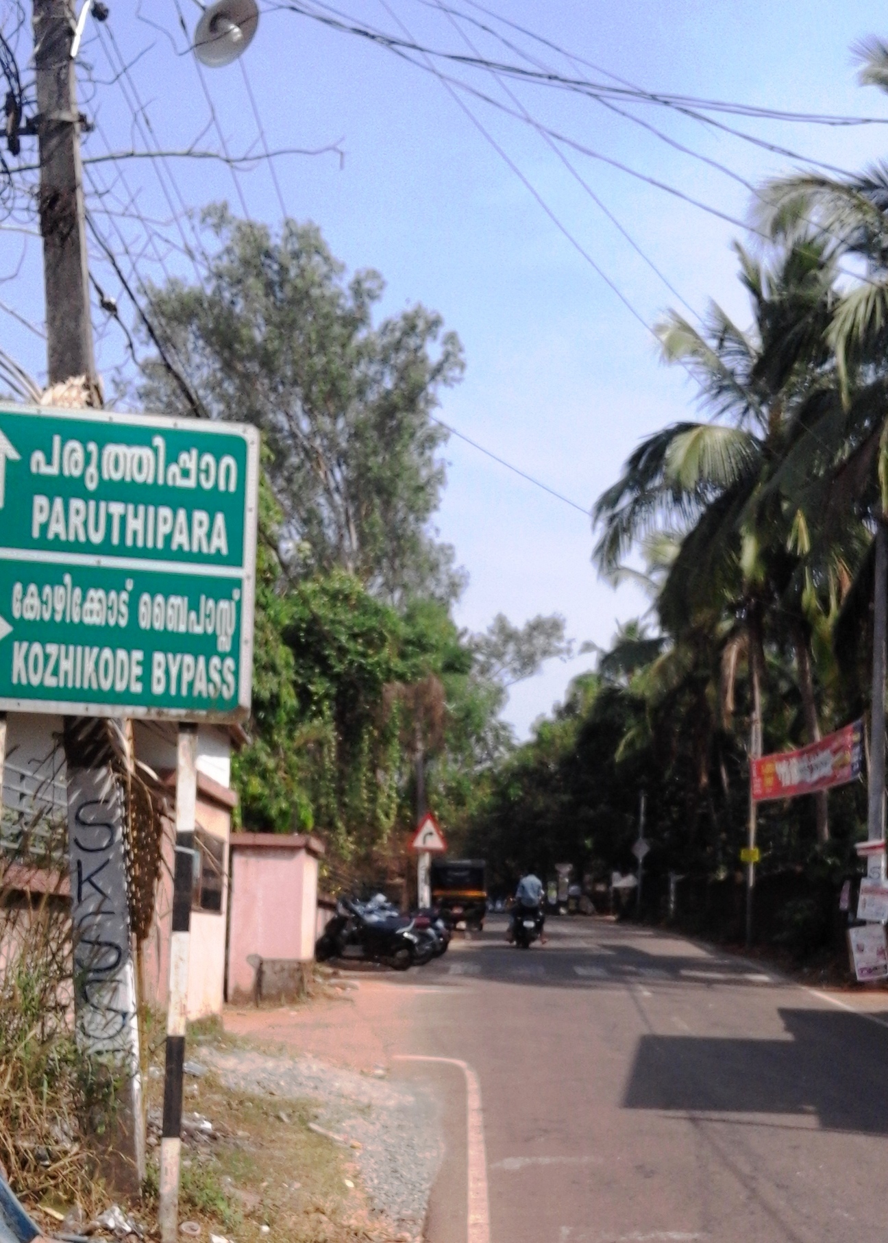
Paruthippara or Kodampuzha is a small village near Feroke in Kozhikode District. The village is considered an industrial belt as a large number of small-scale are established here for a long time. Location Paruthippara is located on a side street between Feroke Pettah and Farook College campus. The villages of Paruthippara and Kodampuzha are on the bank of river Chaliyar. Muslim Cultural Center Paruthippara is considered a Muslim cultural center because of the presence of a large number of Madrassas and Arabic Colleges in this region. Important Organizations * Darul Ma'arif Islamic Centre, KodampuzhDarul Maarif Madrassa Founded by Kodampuzha Bava Musliyar) * Farook College * Irashadhiya College, Thumbappadam * Masjidhul Hudha, Koadampuzha * Al-Manar Islamic Center, Kodampuzha * Nest Public School * Paruthippara Library * Muslim Orphanage, Kodampuzha *KMO residential English School (CBSE) * GMLP School, Karinkallai Villages and Suburbs * Chandakkada, Petta, Kodampuzha and ... [...More Info...] [...Related Items...] OR: [Wikipedia] [Google] [Baidu] |
Feroke
Feroke (), is a Municipality and a part of Kozhikode metropolitan area under Kozhikode Development Authority (K.D.A) in the Kozhikode district of the Indian state of Kerala. Feroke municipality shares the border with Kozhikode corporation, Ramanattukara municipality and kadalundi panchayat. Feroke is located 11 km away from Kozhikode city. Feroke is developing as a Suburb of kozhikode city and Feroke is a part of Kozhikode urban area masterplan. Name The village was originally named Farookhabad by Tippu Sultan. Later, this was changed to Feroke by the British. Tipu Sulthan wanted to make Feroke as his capital in Malabar. The remains of a fort built by Tipu Sultan still stands in Feroke with a long tunnel to the river. Authorities are trying to preserve the fort remains as a site of historical importance. The old bridge at Feroke was built by the British in 1883. History Feroke, on the southern bank of Chaliyar river, was adjacent to the kingdom of Parappanad during m ... [...More Info...] [...Related Items...] OR: [Wikipedia] [Google] [Baidu] |
Farook College
Farook College is a government-aided, autonomous, arts and science college located in Feroke near Calicut, Kerala, India. It is the largest residential post-graduate aided institution in Kerala affiliated to the University of Calicut; it was granted autonomous college status in 2015. Established in 1948, Farook College has been identified by the University Grants Commission of India as a College with Potential for Excellence (CPE), the first college under Calicut Universities to receive the status. It was accredited by NAAC at 5-star level in 2002 and re-accredited at A+ in 2016. It is the winner of Moulana Azad National Literacy Award, R. Sanker Award (two times) for the best first-grade college in the state and the winner of a campus award of University of Calicut among Arts and Science colleges. College ranked 71 in All India Ranking by National Institutional Ranking Framework during 2019. Location The college is on a hillock near the Sales Tax Checkpost at Feroke-Chung ... [...More Info...] [...Related Items...] OR: [Wikipedia] [Google] [Baidu] |
Ramanattukara
Ramanattukara is a municipality census town in Kozhikode district in the Indian state of Kerala. This town was formerly called Kadungan Chira village. Ramanattukara is located 14 km away from Kozhikode city. Developing as a suburb of Kozhikode city, Ramanattukara is a part of the master plan for Kozhikode urban area. History Ramanattukara, on the southern bank of Chaliyar river, was adjacent to the kingdom of Parappanad during medieval period. Parappanad royal family is a cousin dynasty of the Travancore royal family. The rulers of Parappanad were vassals to the Zamorin of Calicut. The headquarters of Parappanad Royal family was the coastal town of Parappanangadi in present-day Malappuram district. In 15th century CE, ''Parappanad Swaroopam'' was divided into two - Northern Parappanad (''Beypore Swaroopam'') and Southern Parappanad (''Parappur Swaroopam''). Beypore, Cheruvannur, and Panniyankara, on northern bank of Chaliyar, became Northern Parappanad. Kadalundi, Val ... [...More Info...] [...Related Items...] OR: [Wikipedia] [Google] [Baidu] |
Chelari
Thenhipalam (also spelt Tenhipalam and Thenjipalam) is a census town and a panchayat in Tirurangadi taluk in Malappuram district of Kerala, India, with a population of 27,273 as per 2001 census, consisting of 13,293 males and 13,980 females.Thenhippalam OurVillageIndia.org. Retrieved on 2008-08-02. Tenhipalam forms a portion of the Malappuram metropolitan area as of 2011 Census of India, 2011 Census. University of Calicut, the first university in the Malabar (Northern Kerala), Malabar region, is located north-west part of the Panchayat. 'Chelari' is the main commercial place in Tenhipalam panchayat while 'Panambra' is considered the headquarters of the panchayat. The small town between Chelari and the university is called Kohinoor. Geography Tenhipalam panchayat is ...[...More Info...] [...Related Items...] OR: [Wikipedia] [Google] [Baidu] |
Tenhipalam
Thenhipalam (also spelt Tenhipalam and Thenjipalam) is a census town and a panchayat in Tirurangadi taluk in Malappuram district of Kerala, India, with a population of 27,273 as per 2001 census, consisting of 13,293 males and 13,980 females.Thenhippalam OurVillageIndia.org. Retrieved on 2008-08-02. Tenhipalam forms a portion of the as of 2011 Census. |
Chelembra
Idimuzhikkal or Chelembra is a town in Malappuram district, Kerala, India. Chelembra is the Panchayath (One of the elementary governmental ruling systems in India) and Idimuzhikal is the capital of this Panchayath. Chelembra grama panchayat in the district. Location Idimuzhikkal town is technically in Malappuram district but it is considered an extension of the Ramanattukara town of Kozhikode district. It is bordered by Feroke, Pallikkal, Thenjipalam, Vallikunnu, Kondotty and Kadalundi towns. The National Highway 17 transverses this township at Idimuzhikal and Kakkanchery which are three kilometers apart. Proposed Vallikunnu Municipality The proposed Vallikunnu Municipality comprises: *Vallikunnu panchayat *Tenhipalam panchayat *Chelembra panchayat Total Area: 77.18 km2 Total Population (1991 Census): 108,792 History One of the earliest mention of Chelembra comes from Logans's Malabar manual (P.649). As per this document, Chelembra came under Ramnad as a territory ... [...More Info...] [...Related Items...] OR: [Wikipedia] [Google] [Baidu] |
Kozhikode District
Kozhikode (), or Calicut district, is one of the 14 districts in the Indian state of Kerala, along its Southwestern Malabar Coast. The city of Kozhikode, also known as Calicut, is the district headquarters. The district is 67.15% urbanised. The Kozhikode Municipal Corporation has a corporation limit population of 609,224 and a metropolitan population of more than 2 million, making Kozhikode metropolitan area the second-largest in Kerala and the 19th largest in India. Kozhikode is classified as a Tier 2 city by the Government of India. NIT Calicut and IIM Kozhikode are two institutions of national importance located in the district. Kozhikode is the largest city in the erstwhile Malabar District and acted as its headquarters during British Raj. In antiquity and the medieval period, Kozhikode was dubbed the ''City of Spices'' for its role as the major trading point for Indian spices. It was the capital of an independent kingdom ruled by the Samoothiris (Zamorins), which ... [...More Info...] [...Related Items...] OR: [Wikipedia] [Google] [Baidu] |
Chaliyar
Chaliyar River is the fourth longest river in Kerala at 169 km in length. The Chaliyar is also known as Chulika River, Nilambur River or Beypore River as it nears the sea. Pothukal, Chungathara, Nilambur, Mampad, Edavanna, Kavanoor, Perakamanna, Areekode, Kizhuparamba, Elamaram, Cheekkode, Vazhakkad, Vazhayur, Cheruvadi, Edavannappara, Mavoor, Peruvayal, Feroke and Beypore are some of the towns/villages situated along the banks of Chaliyar. It mainly flows through Malappuram district. Its tributaries flow through both the districts of Malappuram and Kozhikode. The bank of river Chaliyar at Nilambur region is also known for natural Gold fields. Explorations done at the valley of the river Chaliyar in Nilambur has shown reserves of the order of 2.5 million cubic meters of placers with 0.1 gram per cubic meter of gold. It originates at Ilambaleri hills of Nilgiri Mountains in Nilgiris district (Ooty district), which is also near Wayanad-Malappuram district border. It f ... [...More Info...] [...Related Items...] OR: [Wikipedia] [Google] [Baidu] |
Kadalundi Bird Sanctuary
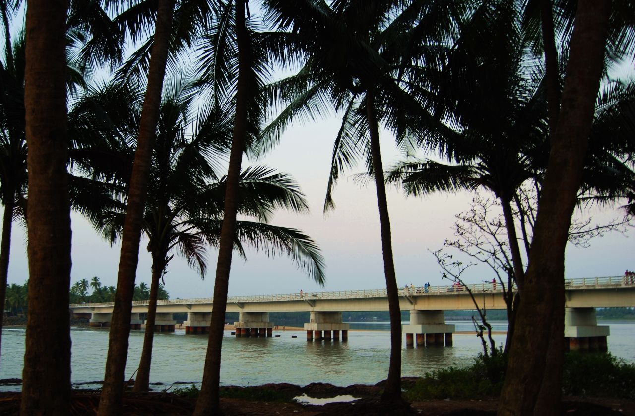
The Kadalundi Bird Sanctuary lies in Vallikunnu Grama Panchayat of Malappuram district in Kerala, India. It spreads over a cluster of islands where the Kadalundipuzha River flows into the Arabian Sea. The Sanctuary hill is around 200 m above sea level. It is located 19 km away from the Kozhikode city centre. Fauna Over a hundred species of native birds have been recorded in the sanctuary, including about 60 species of migratory birds which visit seasonally; these include terns, gulls, herons, sandpipers and cormorants. Notable species are whimbrels and brahminy kites. The sanctuary is well known for a wide variety of fish, mussels and crabs. Some species of snakes, cobras, vipers and kraits also live here. See also * Vallikkunnu * Malappuram district * Eranad * Parappanangadi * Chaliyar river * Kadalundi river Kadalundi River (Kadalundipuzha) is one of the four major rivers flowing through Malappuram district in the Indian state of Kerala. The other ... [...More Info...] [...Related Items...] OR: [Wikipedia] [Google] [Baidu] |
Vallikkunnu
Vallikkunnu is a village in Tirurangadi Taluk of Malappuram district in the state of Kerala, India with an area of 25 km2. It is located 5 km north of Parappanangadi town and comes under the jurisdiction of Parappanangadi Police Station and Parappanangadi Judicial First Class Magistrate Court. Its latitude and longitude are 11'07" N and 7'51"E respectively. Vallikkunnu was awarded the best panchayath of Kerala in 1997. Vallikunnu is situated on Tirur-Kadalundi Road. Vallikkunnu is also a part of the Oldest Railway Line of Kerala laid in 1861 from Tirur to Chaliyam via Tanur, Parappanangadi, Vallikkunnu, and Kadalundi. Vallikkunnu lies on the bank of Kadalundi River. Kadalundi River joins with Arabian Sea at the estuary (''Azhimukham'') in Kadalundi Nagaram beach of Vallikkunnu Grama Panchayat. Kadalundi Bird Sanctuary and Kadalundi-Vallikkunnu Community Reserve are located here. Demographics India census, Vallikkunnu had a population of 22853 with 11057 males ... [...More Info...] [...Related Items...] OR: [Wikipedia] [Google] [Baidu] |


