|
Parks And Open Spaces In The London Borough Of Bromley
The London Borough of Bromley in Greater London, England has over one hundred parks and open spaces within its boundaries: some large, like Crystal Palace Park, and some small, such as recreation grounds. Some of the open spaces form part of the South East London Green Chain. As a borough in Outer London it also contains some open countryside in the form of country parks. The main open spaces under control of the borough are: In addition there are many other open spaces privately controlled; among them are: * North of the borough: ''Cator Park'' and many sports grounds in New Beckenham; ''Sundridge Park'' including its golf course; ''Camden Park'', ''Scadbury Park'' and ''Elmstead Wood'' near Chislehurst; * East of the borough: ''Ruxley Wood'', ''Paul's Cray Hill Park'', ''Hockenden Wood'' and ''Bourne Wood'', all in the Green Belt area; * West of the borough: a large open space around Bethlem Royal Hospital, including farmland and ''Crouch Oak Wood''. * Saltbox Hill, Site of Spec ... [...More Info...] [...Related Items...] OR: [Wikipedia] [Google] [Baidu] |
London Borough Of Bromley
The London Borough of Bromley () is the southeasternmost of the London boroughs that make up Greater London, bordering the ceremonial county of Kent, which most of Bromley was part of before 1965. The borough's population is an estimated 332,336. It is named after Bromley, its principal town; other major towns are Penge, Hayes, West Wickham, Chislehurst, Beckenham and Orpington. The local authority is Bromley London Borough Council. Geography The borough is the largest in Greater London by area and occupies . The majority of the borough is Metropolitan Green Belt, including nearly all of the land south of the A232-A21 route between West Wickham and Pratt's Bottom. Consequently, it is also perhaps the most rural borough and contains more of the North Downs than any other, as that escarpment is broad between Bromley and Banstead. This is also reflected in its population density, which is the lowest of the 32 London boroughs. Most of the population lives in the north and west of t ... [...More Info...] [...Related Items...] OR: [Wikipedia] [Google] [Baidu] |
Golf Course
A golf course is the grounds on which the sport of golf is played. It consists of a series of holes, each consisting of a tee box, a fairway, the rough and other hazards, and a green with a cylindrical hole in the ground, known as a "cup". The cup holds a flagstick, known as a "pin". A standard round of golf consists of 18 holes, and as such most courses contain 18 distinct holes; however, there are many 9-hole courses and some that have holes with shared fairways or greens. There are also courses with a non-standard number of holes, such as 12 or 14. The vast majority of golf courses have holes of varying length and difficulties that are assigned a standard score, known as par, that a proficient player should be able to achieve; this is usually three, four or five strokes. Par-3 courses consist of holes all of which have a par of three. Short courses have gained in popularity; these consist of mostly par 3 holes, but often have some short par 4 holes. Many older courses ar ... [...More Info...] [...Related Items...] OR: [Wikipedia] [Google] [Baidu] |
New Beckenham
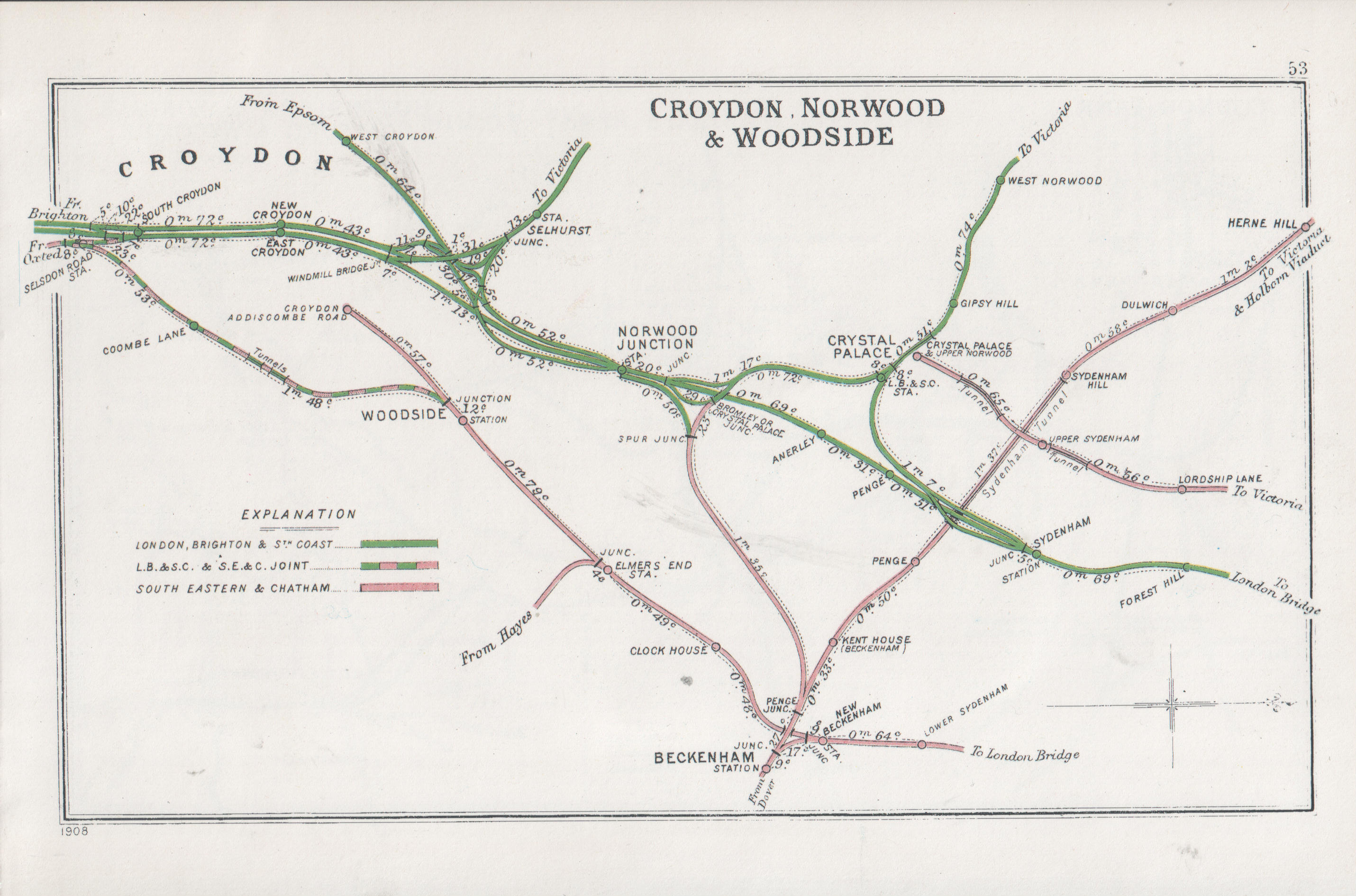
New Beckenham railway station serves Beckenham in the London Borough of Bromley in south-east London, in Travelcard Zone 4. It is measured from . The station and all trains serving it are operated by Southeastern. History Early years (1857–1922) The Mid-Kent line was built by the Mid-Kent and North Kent Junction Railway (MK&NKJR), and was opened as far as Beckenham Junction on 1 January 1857 (although at that time it was not technically a junction, for the West End of London and Crystal Palace Railway's line did not open until 3 May 1858). From its opening the line was worked by the South Eastern Railway (SER). Seven years later, the MK&NKJR built an extension from a new junction station at New Beckenham to Croydon (Addiscombe Road), which again was operated by the SER. This first short-lived station was located immediately south of the junction and may have had platforms on the 1857 and 1864 lines. Two years later, in October 1866, the current station built just nort ... [...More Info...] [...Related Items...] OR: [Wikipedia] [Google] [Baidu] |
Chislehurst
Chislehurst () is a suburban district of south-east London, England, in the London Borough of Bromley. It lies east of Bromley, south-west of Sidcup and north-west of Orpington, south-east of Charing Cross. Before the creation of Greater London in 1965, it was in Kent. History The name "Chislehurst" is derived from the Old English language, Saxon words ''cisel'', "gravel", and ''hyrst'', "wooded hill". The Walsingham family, including Christopher Marlowe's patron, Thomas Walsingham (literary patron), Sir Thomas Walsingham and Elizabeth I of England, Queen Elizabeth I's spymaster, Francis Walsingham, had a home in Scadbury Park, now a nature reserve in which the ruins of the house can still be seen. A water tower used to straddle the road from Chislehurst to Bromley until it was demolished in 1963 as one of the last acts of the Chislehurst and Sidcup UDC. It marked the entrance to the Wythes Estate in Bickley, but its narrow archway meant that double-decker buses were not ... [...More Info...] [...Related Items...] OR: [Wikipedia] [Google] [Baidu] |
Scadbury Park
Scadbury Park is a Local Nature Reserve in Chislehurst in the London Borough of Bromley. It is also a Site of Metropolitan Importance for Nature Conservation. It is over , and is part of an extensive wildlife corridor together with Petts Wood and the Jubilee Country Park. It has large areas of ancient woodland, especially oaks, and flowers include lily of the valley, which is rare in London. Ponds have London's largest population of protected great crested newts. Much of it is undisturbed grassland, and it also includes a working farm. The main entrance is in Old Perry Street. The entrance piers still exist. Also a West Lodge to the estate still exists, also on Old Perry Street. The London Loop passes through it from Sidcup By-Pass Road near its junction with Perry Street to St Paul's Cray Road. History The manor is first recorded in the thirteenth century, when it was held by the ''de Scathebury'' family. In 1424 it was purchased by Thomas Walsingham, a wealthy wine and ... [...More Info...] [...Related Items...] OR: [Wikipedia] [Google] [Baidu] |
Bromley Common
Bromley Common is the area of south-east London, within the London Borough of Bromley, Greater London. Prior to 1965 it was within the historic county of Kent. It lies south of Bromley town centre and Bickley, west of Southborough and Petts Wood, north of Locksbottom and Keston, and east of Hayes. Amenities The area is centred on the road of the same name (part of the A21), stretching between Masons Hill at the south end of Bromley and Hastings Road, Locksbottom. Large-scale suburban development means that the area now merges into Southborough and Bickley. The main shopping and leisure area of the district is Chatterton Road, which has a number of popular restaurants, delicatessens, hair and beauty salons, and a range of hobby/craft and charity shops. The Chatterton Arms pub, which opened around 1870, was originally named the "Hit or Miss", presumably a reference to "Shooting Common", dating back to the 'dark' days of highwaymen. It was later renamed in honour of the 18th- ... [...More Info...] [...Related Items...] OR: [Wikipedia] [Google] [Baidu] |
Keston
Keston is a village in Greater London, England, located within the London Borough of Bromley, Greater London. Prior to 1965 it was withing the historic county of Kent. It is part suburban, part rural in nature and lies on the edge of Hayes Common, just beyond the London conurbation to the south of Bromley Common. It includes the small hamlet of Nash to the southwest. The northern, more suburban part of Keston is sometimes referred to as Keston Mark. History Flint implements and pit dwellings on Keston and Hayes Commons show occupation of the area back to at least 3000 B.C., and there are Iron Age encampments in Holwood Park and on Keston Common. In the valley below the village are the ruins of a complex of 3rd century AD Roman tombs and mausolea () connected with the nearby 1st - 4th century AD Roman villa excavated 1967-1992 (). Sited closer to the original Keston Court than the main village itself, Keston's small medieval church is unusual in that does not have a dedicat ... [...More Info...] [...Related Items...] OR: [Wikipedia] [Google] [Baidu] |
Keston Common
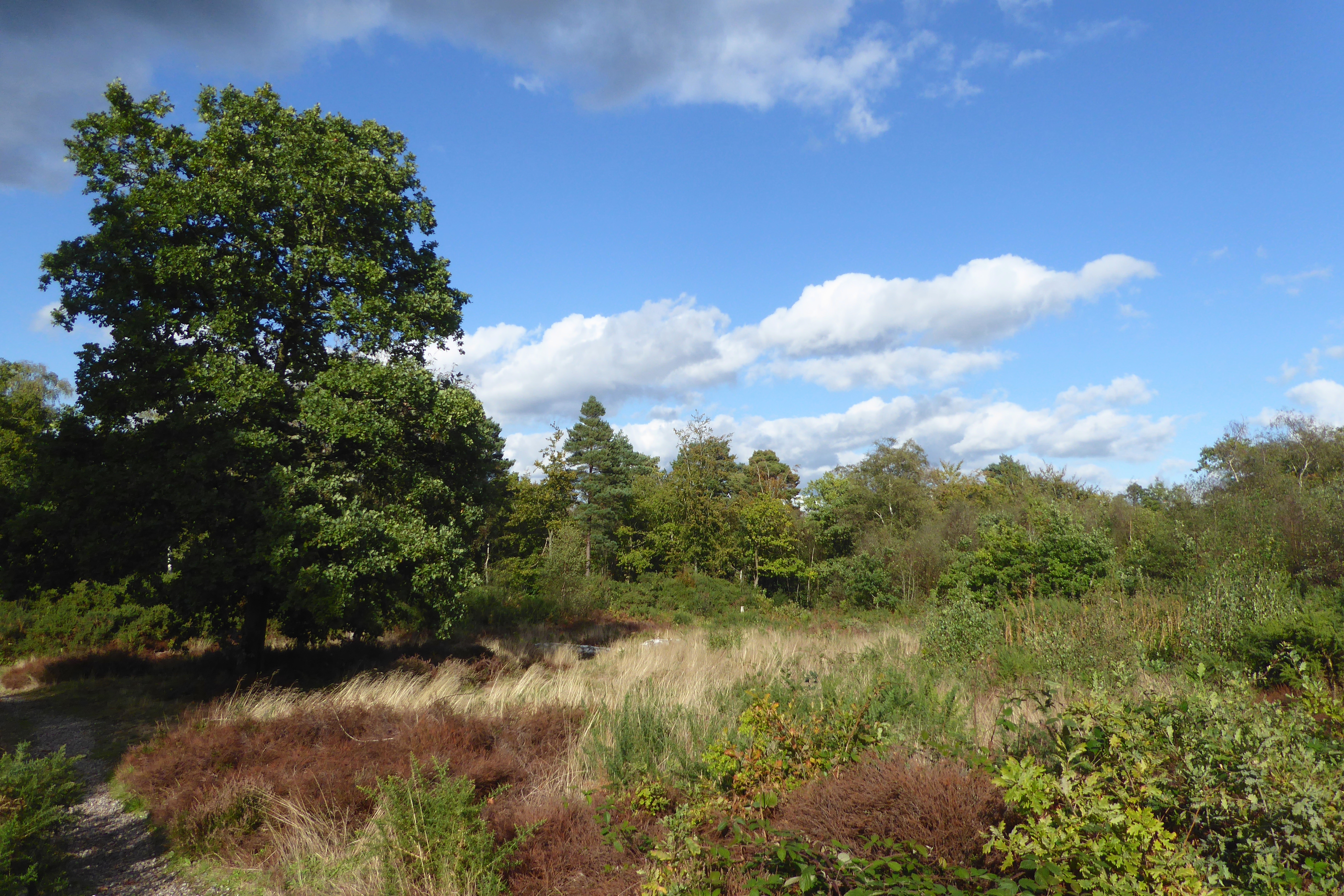
Keston Common is a 55 hectare area of public open space in Keston in the London Borough of Bromley. Most of it is heathland and dry acid grassland on the Blackheath Pebble Beds. Almost all the common together with a small part of the neighbouring Hayes Common is a biological Site of Special Scientific Interest. History The land was formerly part of the estate of Holwood House, and in the early nineteenth century three ponds were constructed to provide water to the house. It is only two miles from Charles Darwin's home, Down House, and he often visited to study the plants and animals there. It helped to provide the materials for his works on earthworms and carnivorous plants. 'Darwin's Landscape Laboratory', which included Keston Common, was the British Government's 2009 nominee for a World Heritage Site, but the application was unsuccessful. In 1926 the then owner of the common, Lord Stanley, donated it to the parish. Other information The common is a Site of Metropolitan Imp ... [...More Info...] [...Related Items...] OR: [Wikipedia] [Google] [Baidu] |
Pleasure Ground
In English gardening history, the pleasure ground or pleasure garden was the parts of a large garden designed for the use of the owners, as opposed to the kitchen garden and the wider park. It normally included flower gardens, typically directly outside the house, and areas of lawn, used for playing games (bowling grounds were very common, later croquet lawns), and perhaps "groves" or a Wilderness (garden history), wilderness for walking around. Smaller gardens were often or usually entirely arranged as pleasure grounds, as are modern public parks. The concept survived a number of major shifts in the style of English gardens, from the Renaissance, through Baroque formal gardens, to the English landscape garden style. The pleasure grounds of English country house gardens have typically been remade a number of times, and awareness has recently returned that even the designs of the famous 18th-century landscapists such as Capability Brown originally included large areas of pleas ... [...More Info...] [...Related Items...] OR: [Wikipedia] [Google] [Baidu] |
Kelsey Park
Kelsey Park is a public park in Beckenham in the borough of Bromley, Greater London. It historically formed the landscaped park of the Kelsey Manor Estate. The river Beck runs through it. History The original mansion was built around 1408 for William Kelshulle and demolished around 1800. A second mansion was built for Richard Bennett around that time and then acquired by Peter Richard Hoare, the elder (a partner in the banking firm C. Hoare & Co) in 1835. Peter Richard Hoare, the elder converted the manor into a rambling Gothic Revival house. The house passed to Peter Richard Hoare, the younger in 1849: he added a chapel, designed by Sir George Gilbert Scott, in 1869. It then passed to Charles Arthur Richard Hoare in 1877. The land adjoining Wickham Road was sold in the 1890s and laid out with large Arts and Crafts movement houses designed by Francis Hooper. The house became a convent for the All Saints Sisters of the Poor in 1895 and then became Kepplestone School for the ... [...More Info...] [...Related Items...] OR: [Wikipedia] [Google] [Baidu] |
Petts Wood
Petts Wood is a town in south-east London, England, previously located in the historic county of Kent. It lies south of Chislehurst, west of St Paul's Cray and Poverest, north of Orpington and Crofton, and east of Southborough and Bromley Common. The area forms part of the London Borough of Bromley local authority district in the ceremonial county of Greater London. History The name appeared first in 1577 as "the wood of the Pett family", who were shipbuilders and leased the wood as a source of timber. (A pub, The Sovereign of the Seas, is named after a ship built at Woolwich to a design by Phineas Pett.)Lavery, ''Ships of the Line'' vol. 1, p. 163. The area remained rural right up until the late 19th century; in 1872 just one house ('Ladywood') stood here. Most of the modern suburb of Petts Wood was built in the late 1920s by the Harlow-based developer Basil Scruby together with architect Leonard Culliford who designed the layout of the roads. A number of individual bui ... [...More Info...] [...Related Items...] OR: [Wikipedia] [Google] [Baidu] |


%2C_Bromley%2C_Kent_-_geograph.org.uk_-_1115581.jpg)


