|
Putney, Vermont
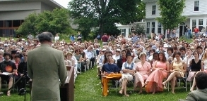
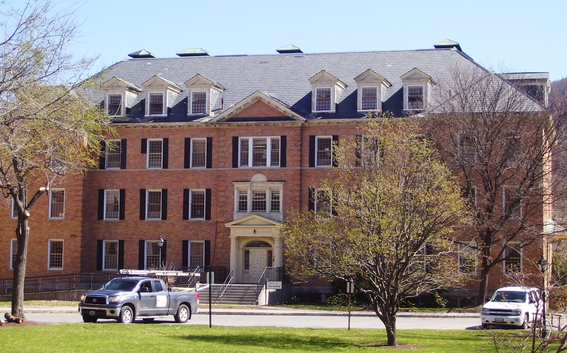
Putney is a town in Windham County, Vermont, United States. The population was 2,617 at the 2020 census. The town's historic core makes up the Putney Village Historic District, which is listed on the National Register of Historic Places. History On December 26, 1753, Colonel Josiah Willard led a proprietors' petition for a Putney charter to be established in the Equivalent Lands. The charter was issued that day by Governor Benning Wentworth – issuer of the New Hampshire Grants under the authority of King George II of Great Britain. Significant settlement of Putney did not begin until after the French and Indian War ended in 1760. The town arose in a large plain on the west side of the Connecticut River, above the mouth of Sacketts Brook. A falls on the brook provided water power for early mills, and it is around that point that the main village was formed. Because the town did not have abundant sources of water power, it was largely bypassed by the Industrial Revolutio ... [...More Info...] [...Related Items...] OR: [Wikipedia] [Google] [Baidu] |
New England Town
The town is the basic unit of Local government in the United States, local government and local division of state authority in the six New England states. Most other U.S. states lack a direct counterpart to the New England town. New England towns overlay the entire area of a state, similar to civil townships in other states where they exist, but they are fully functioning Incorporation (municipal government), municipal corporations, possessing powers similar to city, cities in other states. New Jersey's Local government in New Jersey, system of equally powerful townships, boroughs, towns, and cities is the system which is most similar to that of New England. New England towns are often governed by a town meeting legislative body. The great majority of municipal corporations in New England are based on the town model; there, statutory forms based on the concept of a Place (United States Census Bureau), compact populated place are uncommon, though elsewhere in the U.S. they are preva ... [...More Info...] [...Related Items...] OR: [Wikipedia] [Google] [Baidu] |
New Hampshire Grants
The New Hampshire Grants or Benning Wentworth Grants were land grants made between 1749 and 1764 by the colonial governor of the Province of New Hampshire, Benning Wentworth. The land grants, totaling about 135 (including 131 towns), were made on land claimed by New Hampshire west of the Connecticut River, territory that was also claimed by the Province of New York. The resulting dispute led to the eventual establishment of the Vermont Republic, which later became the U.S. state of Vermont. Background The territory of what is now Vermont was first permanently settled by European settlers when William Dummer, acting governor of the Province of Massachusetts Bay, ordered the construction of a fort roughly where Brattleboro is located. Massachusetts laid claim to the territory west of the Merrimack River at the time, and it had settlers on the Connecticut River who were prepared to move further north. The border between Massachusetts and the neighboring Province of New Hampshire w ... [...More Info...] [...Related Items...] OR: [Wikipedia] [Google] [Baidu] |
Keene, New Hampshire
Keene is a city in, and the County seat, seat of Cheshire County, New Hampshire, United States. The population was 23,047 at the 2020 United States census, 2020 census, down from 23,409 at the 2010 United States Census, 2010 census. Keene is home to Keene State College and Antioch University New England. It hosted New Hampshire Pumpkin Festival, the state's annual pumpkin festival from 1991 to 2014, several times setting a world record for most jack-o'-lanterns on display. The grocery wholesaler C&S Wholesale Grocers is based in Keene. History In 1735, colonial Governor Jonathan Belcher granted lots in the township of "Upper Ashuelot" to 63 settlers who paid £5 each. Settled after 1736 on Equivalent Lands,Equivalent Lands webpage; Vermont History on-line; accessed April 26, 2020 it was int ... [...More Info...] [...Related Items...] OR: [Wikipedia] [Google] [Baidu] |
Brattleboro, Vermont
Brattleboro (), originally Brattleborough, is a town in Windham County, Vermont, United States. The most populous municipality abutting Vermont's eastern border with New Hampshire, which is the Connecticut River, Brattleboro is located about north of the Massachusetts state line, at the confluence of Vermont's West River and the Connecticut. As of the 2020 Census, the population was 12,184. There are satellite campuses of two colleges in Brattleboro: Community College of Vermont, and Vermont Technical College. Located in Brattleboro are the New England Center for Circus Arts, Vermont Jazz Center, and the Brattleboro Retreat, a mental health and addictions hospital. History Indigenous people This place was called "Wantastiquet" by the Abenaki people, which meant "lost river", "river that leads to the west", or "river of the lonely way". The Abenaki would transit this area annually between their summer hunting grounds near Swanton, and their winter settlement near Northfield, ... [...More Info...] [...Related Items...] OR: [Wikipedia] [Google] [Baidu] |
Putney (CDP), Vermont
Putney is the primary village and a census-designated place (CDP) in the town of Putney, Windham County, Vermont, United States. As of the 2020 census, it had a population of 571, compared to 2,617 in the entire town. The Putney Village Historic District occupies the center of the CDP. The CDP is in eastern Windham County, on the southern edge of the town of Putney. It is bordered to the south by the town of Dummerston. U.S. Route 5 is the village's Main Street; it leads north to Bellows Falls and south to Brattleboro. Sacketts Brook, a south-flowing tributary of the Connecticut River The Connecticut River is the longest river in the New England region of the United States, flowing roughly southward for through four states. It rises 300 yards (270 m) south of the U.S. border with Quebec, Canada, and discharges at Long Island ... flows through the CDP. The village is sited where the brook drops in . References Populated places in Windham County, Vermont Census ... [...More Info...] [...Related Items...] OR: [Wikipedia] [Google] [Baidu] |
Westmoreland, New Hampshire
Westmoreland is a town in Cheshire County, New Hampshire, United States. The population was 1,706 at the 2020 census, down from 1,874 at the 2010 census. Westmoreland is historically an agricultural town, with much arable farmland. History Indigenous peoples Prior to European colonization, present-day Westmoreland was inhabited by numerous indigenous tribes. The upper Connecticut River valley was a popular region for short-term Indigenous villages mostly used for hunting and fishing. Tribes such as the Pennacook Confederation and the Abenaki were frequent visitors to the area. In the 1670s, King Philip's War led to the migration of most indigenous tribes to Canada. Indigenous peoples did not understand the concept of individual land ownership, which resulted in numerous misunderstandings and conflict between them and English settlers. The English settlers purchase of land and construction of permanent settlements disrupted the hunting and fishing traditions of the indigenous ... [...More Info...] [...Related Items...] OR: [Wikipedia] [Google] [Baidu] |
Brookline, Vermont
Brookline is a town in Windham County, Vermont, United States. The population was 540 at the 2020 census. Geography According to the United States Census Bureau, the town has a total area of 12.9 square miles (33.4 km2), all land. The West River flows along the southwestern boundary of the town.DeLorme (1996). ''Vermont Atlas & Gazetteer''. Yarmouth, Maine: DeLorme. Demographics As of the census of 2000, there were 467 people and 124 families residing in the town. The population density was 36.2 people per square mile (14.0/km2). There were 274 housing units at an average density of 21.2 per square mile (8.2/km2). The racial makeup of the town was 99.36% White, 0.21% Native American, 0.43% from other races. Hispanic or Latino of any race were 0.64% of the population. There were 186 households, out of which 34.4% had children under the age of 18 living with them, 59.1% were married couples living together, 4.8% had a female householder with no husband present, a ... [...More Info...] [...Related Items...] OR: [Wikipedia] [Google] [Baidu] |
Westminster (town), Vermont
Westminster is a town in Windham County, Vermont, United States. The population was 3,016 at the 2020 census. It is also the first capital of the Republic of Vermont. It borders the state of New Hampshire. History Westminster is Vermont's oldest existing town and was chartered in 1735 by the Province of Massachusetts Bay and was called New Taunton or Township Number One. The town did not have any permanent settlers in the area until 1751. New Hampshire settlers came in and the town was later incorporated in the Province of New Hampshire on November 9, 1752, becoming the third chartered town for New Hampshire west of the Connecticut River. When the British government recognized the Province of New York's claims to what is now Vermont, New York moved its Court of Common Pleas for Cumberland County to Westminster in 1772. It was the site of the Westminster massacre in March 1775, in which two men were killed attempting to prevent New York provincial officials from exerting their a ... [...More Info...] [...Related Items...] OR: [Wikipedia] [Google] [Baidu] |
Dummerston, Vermont
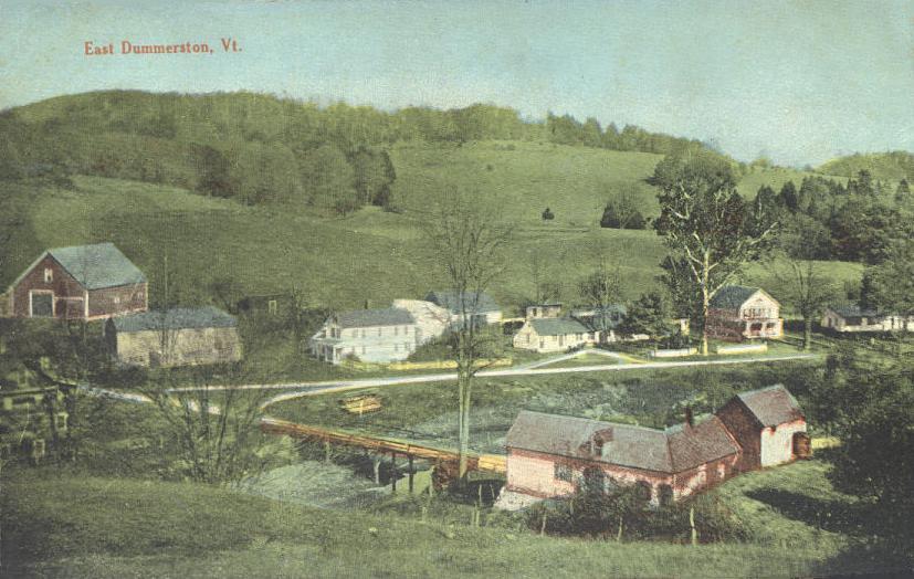
Dummerston is a town in Windham County, Vermont, United States. The population was 1,865 at the 2020 United States Census, 2020 census. It is home to the longest covered bridge still in use in Vermont. Its borders include three main villages: Dummerston Center, West Dummerston, and East Dummerston. History Dummerston was part of the Equivalent Lands—several large sections of land given to settlers in the early eighteenth century. It lies on a tract (land), tract given to the Connecticut Colony about 1715 by the Province of Massachusetts Bay as compensation for land mistakenly awarded by the latter to its settlers. In 1716, the town was auctioned to a consortium (which included William Dummer, lieutenant governor of Massachusetts), and named Dummerston. On December 26, 1753, the town was chartered as a New Hampshire grants, New Hampshire grant and renamed Fulham by Governor Benning Wentworth. But when the grant was renegotiated, it reverted to Dummerston. The many brooks and st ... [...More Info...] [...Related Items...] OR: [Wikipedia] [Google] [Baidu] |
Greek Revival Architecture
The Greek Revival was an architectural movement which began in the middle of the 18th century but which particularly flourished in the late 18th and early 19th centuries, predominantly in northern Europe and the United States and Canada, but also in Greece itself following independence in 1832. It revived many aspects of the forms and styles of ancient Greek architecture, in particular the Greek temple, with varying degrees of thoroughness and consistency. A product of Hellenism, it may be looked upon as the last phase in the development of Neoclassical architecture, which had for long mainly drawn from Roman architecture. The term was first used by Charles Robert Cockerell in a lecture he gave as Professor of Architecture to the Royal Academy of Arts, London in 1842. With a newfound access to Greece and Turkey, or initially to the books produced by the few who had visited the sites, archaeologist-architects of the period studied the Doric and Ionic orders. Despite its univ ... [...More Info...] [...Related Items...] OR: [Wikipedia] [Google] [Baidu] |
Federal Architecture
Federal-style architecture is the name for the classicizing architecture built in the newly founded United States between 1780 and 1830, and particularly from 1785 to 1815, which was heavily based on the works of Andrea Palladio with several innovations on Palladian architecture by Thomas Jefferson and his contemporaries first for Jefferson's Monticello estate and followed by many examples in government building throughout the United States. An excellent example of this is the White House. This style shares its name with its era, the Federalist Era. The name Federal style is also used in association with Federal furniture, furniture design in the United States of the same time period. The style broadly corresponds to the classicism of Biedermeier style in the German-speaking lands, Regency architecture in Britain and to the French Empire style. It may also be termed Adamesque architecture. The White House and Monticello were setting stones for federal architecture. In the ... [...More Info...] [...Related Items...] OR: [Wikipedia] [Google] [Baidu] |
Industrial Revolution
The Industrial Revolution was the transition to new manufacturing processes in Great Britain, continental Europe, and the United States, that occurred during the period from around 1760 to about 1820–1840. This transition included going from hand production methods to machines, new chemical manufacturing and iron production processes, the increasing use of steam power and water power, the development of machine tools and the rise of the mechanized factory system. Output greatly increased, and a result was an unprecedented rise in population and in the rate of population growth. Textiles were the dominant industry of the Industrial Revolution in terms of employment, value of output and capital invested. The textile industry was also the first to use modern production methods. The Industrial Revolution began in Great Britain, and many of the technological and architectural innovations were of British origin. By the mid-18th century, Britain was the world's leadi ... [...More Info...] [...Related Items...] OR: [Wikipedia] [Google] [Baidu] |


.png)


