|
Portus Felix
Portus Felix (or ''Sinus Salutaris'' meaning good harbour) was a small coastal town in the Roman province of Britannia, in the area that became the East Riding of Yorkshire. Filey is considered to be the probable location of the port settlement. Sewerby and Bridlington (formerly known as Burlington) have also been suggested. The name of Portus Felix does not appear in the Ravenna Cosmography's list of all known places in the world in about 700 AD. Portuosus Sinus on Gabrantuicorum bay is in Ptolemy's Geographia and may be the same place. Charles Bartram's forged 14th-century manuscript '' De Situ Britanniae'' included the place names ''Petuaria'' and ''Portus Felix'' in the region of ''Ocellum'' occupied by the Parisi tribe''.'' On William Roy's 1793 map of Ptolemy's Geographia, the Parisi tribe is shown as inhabiting the area of Holderness peninsula in the East Riding of Yorkshire, north of ''Promontarium Ocellum'' (believed to be Spurn Head). Port Felix is shown above ... [...More Info...] [...Related Items...] OR: [Wikipedia] [Google] [Baidu] |
Portus Felix On Bertram's Map Of The Yorkshire Coast 1793
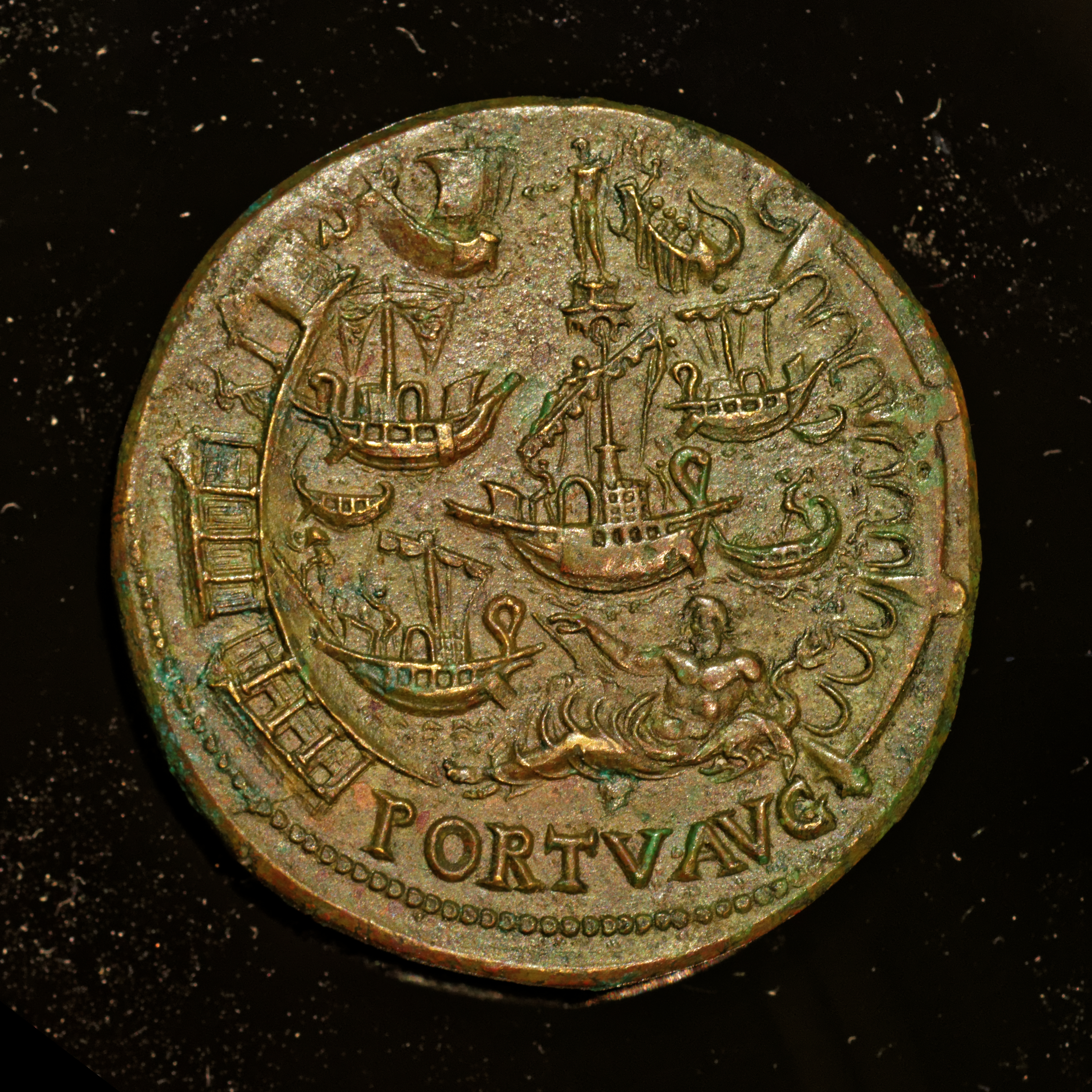
Portus was a large artificial harbour of Ancient Rome. Sited on the north bank of the north mouth of the Tiber, on the Tyrrhenian coast, it was established by Claudius and enlarged by Trajan to supplement the nearby port of Ostia. The archaeological remains of the harbour are near the modern-day Italian village of Porto within the Comune of Fiumicino, just south of Rome in Lazio (ancient Latium). Ancient Portus Claudian phase Rome's original harbour was Ostia. Claudius constructed the first harbour on the Portus site, north of Ostia, enclosing an area of 250 hectares (617 acres), with two long curving moles projecting into the sea, and an artificial island, bearing a lighthouse, in the centre of the space between them. The foundation of this lighthouse was provided by filling one of the massive obelisk ships, used to transport an obelisk from Egypt to adorn the spina of Vatican Circus, built during the reign of Caligula. The harbour thus opened directly to the sea on t ... [...More Info...] [...Related Items...] OR: [Wikipedia] [Google] [Baidu] |
Charles Bertram
Charles Julius Bertram (1723–1765) was an English expatriate in Denmark who "discovered"—and presumably wrote—''The Description of Britain'' ( la, De Situ Britanniae), an 18th-century literary forgery purporting to be a mediaeval work on history that remained undetected for over a century. In that time, it was highly influential for the reconstruction of the history of Roman Britain and contemporary Scotland, to the extent of appearing in Gibbon's '' Decline and Fall of the Roman Empire'' and being used to direct William Roy's initial Ordnance Survey maps. Bertram "discovered" the manuscript around the age of 24 and spent the rest of his life a successful academic and author. Scholars contested various aspects of the ''Description'', but it was not recognized as an unquestionable forgery until 1846. Early life Charles Bertram was born in London in 1723. He was the son of an English silk dyer who was usually accounted to have emigrated to Copenhagen, Denmark, among the re ... [...More Info...] [...Related Items...] OR: [Wikipedia] [Google] [Baidu] |
Scheduled Monument
In the United Kingdom, a scheduled monument is a nationally important archaeological site or historic building, given protection against unauthorised change. The various pieces of legislation that legally protect heritage assets from damage and destruction are grouped under the term "designation." The protection provided to scheduled monuments is given under the Ancient Monuments and Archaeological Areas Act 1979, which is a different law from that used for listed buildings (which fall within the town and country planning system). A heritage asset is a part of the historic environment that is valued because of its historic, archaeological, architectural or artistic interest. Only some of these are judged to be important enough to have extra legal protection through designation. There are about 20,000 scheduled monuments in England representing about 37,000 heritage assets. Of the tens of thousands of scheduled monuments in the UK, most are inconspicuous archaeological sites, but ... [...More Info...] [...Related Items...] OR: [Wikipedia] [Google] [Baidu] |
Flamborough Head
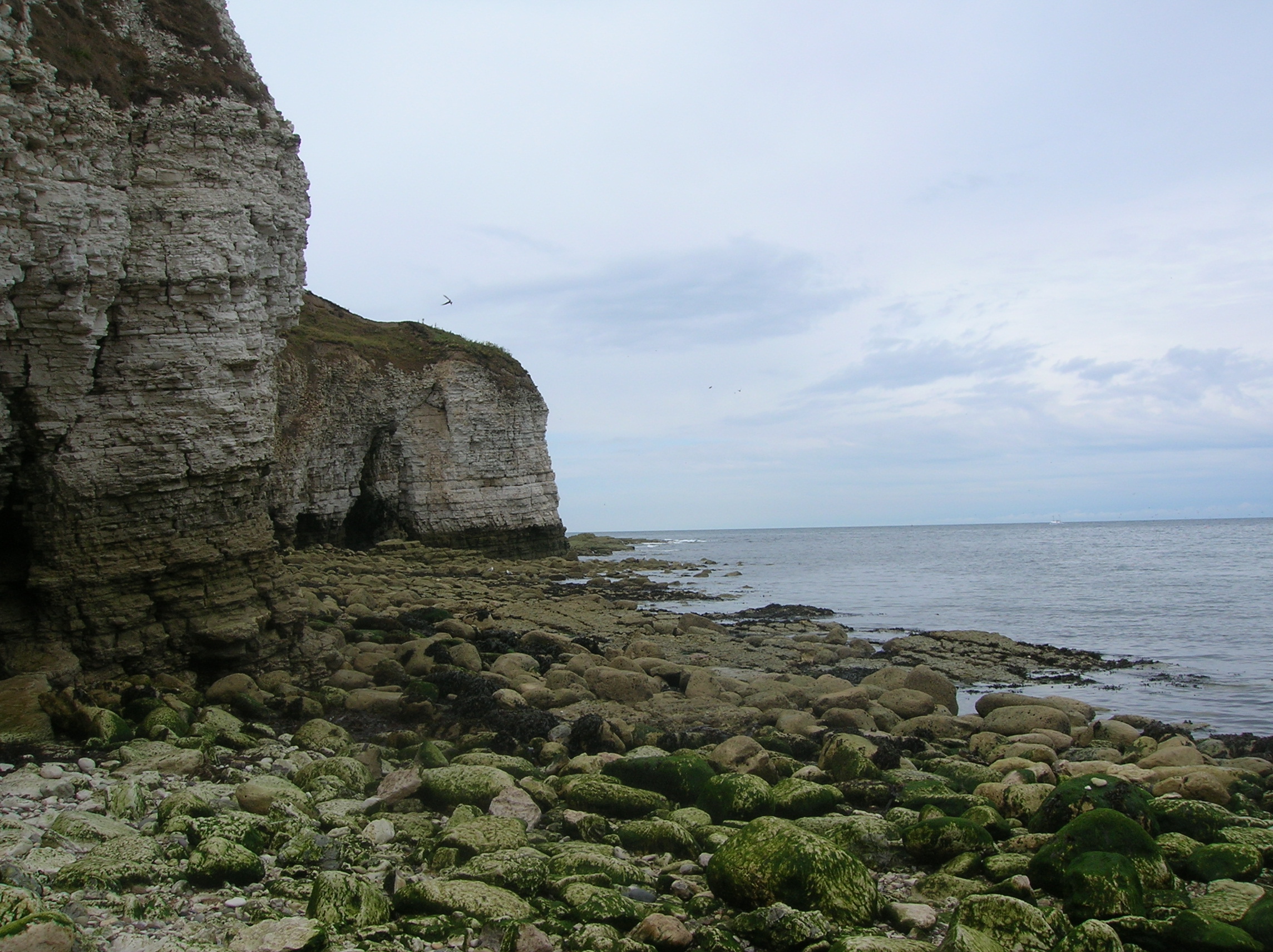
Flamborough Head () is a promontory, long on the Yorkshire coast of England, between the Filey and Bridlington bays of the North Sea. It is a chalk headland, with sheer white cliffs. The cliff top has two standing lighthouse towers, the oldest dating from 1669 and Flamborough Head Lighthouse built in 1806. The older lighthouse was designated a Grade II* listed building in 1952 and is now recorded in the National Heritage List for England, maintained by Historic England. The cliffs provide nesting sites for many thousands of seabirds, and are of international significance for their geology. Special Area of Conservation Flamborough Head has been designated a Special Area of Conservation (SAC) by the British Government's Joint Nature Conservation Committee (JNCC). (Special Areas of Conservation are strictly protected sites designated under the European Community Habitats Directive, which requires the establishment of a European network of important high-quality conservati ... [...More Info...] [...Related Items...] OR: [Wikipedia] [Google] [Baidu] |
Spurn
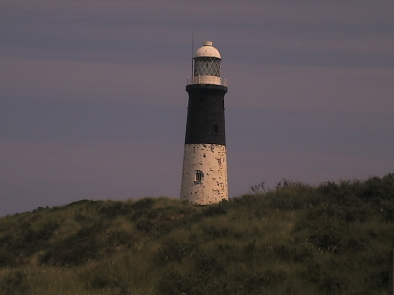
Spurn is a narrow sand tidal island located off the tip of the coast of the East Riding of Yorkshire, England that reaches into the North Sea and forms the north bank of the mouth of the Humber Estuary. It was a spit with a semi-permanent connection to the mainland, but a storm in 2013 made the road down to the end of Spurn impassable to vehicles at high tide. The island is over long, almost half the width of the estuary at that point, and as little as wide in places. The southernmost tip is known as Spurn Head or Spurn Point and is the home to an RNLI lifeboat station and two disused lighthouses. It forms part of the civil parish of Easington. Spurn Head covers above high water and of foreshore. It has been owned since 1960 by the Yorkshire Wildlife Trust and is a designated national nature reserve, heritage coast and is part of the Humber Flats, Marshes and Coast Special Protection Area. History Spurn Head was known to classical authors, such as Ptolemy as ''Oc ... [...More Info...] [...Related Items...] OR: [Wikipedia] [Google] [Baidu] |
Holderness
Holderness is an area of the East Riding of Yorkshire, on the north-east coast of England. An area of rich agricultural land, Holderness was marshland until it was drained in the Middle Ages. Topographically, Holderness has more in common with the Netherlands than with other parts of Yorkshire. To the north and west are the Yorkshire Wolds. Holderness generally refers to the area between the River Hull and the North Sea. The Prime Meridian passes through Holderness just to the east of Patrington and through Tunstall to the north. From 1974 to 1996 Holderness lay within the Borough of Holderness in Humberside. It gave its name to a wapentake until the 19th century, when its functions were replaced by other local government bodies, particularly after the 1888 Local Government Act. The city of Kingston upon Hull lies in the south-west corner of Holderness and Bridlington borders the north-east but both are usually considered separately. The main towns include Withernsea, Hornse ... [...More Info...] [...Related Items...] OR: [Wikipedia] [Google] [Baidu] |
William Roy
Major-General William Roy (4 May 17261 July 1790) was a Scottish military engineer, surveyor, and antiquarian. He was an innovator who applied new scientific discoveries and newly emerging technologies to the accurate geodetic mapping of Great Britain. His masterpiece is usually referred to as Roy's Map of Scotland. It was Roy's advocacy and leadership that led to the creation of the Ordnance Survey in 1791, the year after his death. His technical work in the establishment of a surveying baseline won him the Copley Medal in 1785. His maps and drawings of Roman archaeological sites in Scotland were the first accurate and systematic study of the subject, and have not been improved upon even today. Roy was a fellow of the Royal Society and a member of the Society of Antiquaries of London. Life and works Early life and family Roy was born at Milton Head in Carluke parish in South Lanarkshire on 4 May 1726. His father was a factor in the service of the Gordons/Hamilton ... [...More Info...] [...Related Items...] OR: [Wikipedia] [Google] [Baidu] |
Parisi (Yorkshire)
The Parisi were a British Celtic tribe located somewhere within the present-day East Riding of Yorkshire, in England, known from a single brief reference by Ptolemy in his ''Geographica'' of about AD 150. Many writers have connected them with the archaeological Arras culture and some with the more widely known Parisii of Gaul. Historical sources and archaeology The Parisi are known from a description in Ptolemy's ''Geographica'' (''Geographica'' II, 3, 10) which locates them to near ''Opportunum Sinus'' ("Good harbour"). Ptolemy is presumed never to have visited Roman Britain, compiling his work from existing sources, probably in Alexandria. The tribe is inferred to have been surrounded by the Brigantes, and with the Coritani south of them across the Humber. Ptolemy mentions the Parisi in association with '' Petvaria'', a town thought to be located close to Brough, East Riding of Yorkshire. Ptolemy also mentions a promontory ''Promontarium Ocellum'', which may be either Sp ... [...More Info...] [...Related Items...] OR: [Wikipedia] [Google] [Baidu] |
Petuaria
Petuaria (or Petuaria Parisorum) was originally a Roman fort situated where the town of Brough in the East Riding of Yorkshire now stands. Petuaria means something like 'quarter' or 'fourth part', incorporating the archaic Brythonic *''petuar'', 'four' (compare modern Welsh ''pedwar''). It was founded in 70 AD and abandoned in about 125. The adjacent civitas (civil town), ferry-crossing and (attested) port which grew over and replaced the fort survived until about 370, and was probably the capital of the Celtic tribe called the Parisi. Petuaria marked the southern end of the Roman road known now as Cade's Road, which ran roughly northwards for a hundred miles to Pons Aelius (modern day Newcastle upon Tyne). The section from Petuaria to Eboracum (York) was also the final section of Ermine Street. Archaeology Archaeological excavations of the site of Petuaria were carried out in the 1930s (one of the archaeologists was Mary Kitson Clark), and between 1958 and 1962, with occas ... [...More Info...] [...Related Items...] OR: [Wikipedia] [Google] [Baidu] |
De Situ Britanniae
''The Description of Britain'', also known by its Latin name ' ("On the Situation of Britain"), was a literary forgery perpetrated by Charles Bertram on the historians of England. It purported to be a 15th-century manuscript by the English monk Richard of Westminster, including information from a lost contemporary account of Britain by a Roman general ('), new details of the Roman roads in Britain in the style of the Antonine Itinerary, and "an antient map" as detailed as (but improved upon) the works of Ptolemy. Bertram disclosed the existence of the work through his correspondence with the antiquarian William Stukeley by 1748, provided him "a copy" which was made available in London by 1749, and published it in Latin in 1757. By this point, his Richard had become conflated with the historical Richard of Cirencester. The text was treated as a legitimate and major source of information on Roman Britain from the 1750s through the 19th century, when it was progressively debunked by ... [...More Info...] [...Related Items...] OR: [Wikipedia] [Google] [Baidu] |
Geography (Ptolemy)
The ''Geography'' ( grc-gre, Γεωγραφικὴ Ὑφήγησις, ''Geōgraphikḕ Hyphḗgēsis'', "Geographical Guidance"), also known by its Latin names as the ' and the ', is a gazetteer, an atlas, and a treatise on cartography, compiling the geographical knowledge of the 2nd-century Roman Empire. Originally written by Claudius Ptolemy in Greek at Alexandria around AD 150, the work was a revision of a now-lost atlas by Marinus of Tyre using additional Roman and Persian gazetteers and new principles. Its translation into Arabic in the 9th century and Latin in 1406 was highly influential on the geographical knowledge and cartographic traditions of the medieval Caliphate and Renaissance Europe. Manuscripts Versions of Ptolemy's work in antiquity were probably proper atlases with attached maps, although some scholars believe that the references to maps in the text were later additions. No Greek manuscript of the ''Geography'' survives from earlier than the 1 ... [...More Info...] [...Related Items...] OR: [Wikipedia] [Google] [Baidu] |
Town
A town is a human settlement. Towns are generally larger than villages and smaller than cities, though the criteria to distinguish between them vary considerably in different parts of the world. Origin and use The word "town" shares an origin with the German word , the Dutch word , and the Old Norse . The original Proto-Germanic word, *''tūnan'', is thought to be an early borrowing from Proto-Celtic *''dūnom'' (cf. Old Irish , Welsh ). The original sense of the word in both Germanic and Celtic was that of a fortress or an enclosure. Cognates of ''town'' in many modern Germanic languages designate a fence or a hedge. In English and Dutch, the meaning of the word took on the sense of the space which these fences enclosed, and through which a track must run. In England, a town was a small community that could not afford or was not allowed to build walls or other larger fortifications, and built a palisade or stockade instead. In the Netherlands, this space was a garden, ... [...More Info...] [...Related Items...] OR: [Wikipedia] [Google] [Baidu] |


.jpg)


.jpg)