|
Polsbroekerdam
Polsbroekerdam is a hamlet in the Dutch province of Utrecht. It is a part of the municipality of Lopik, and is located about 10 km southeast of Gouda. The village of Polsbroek is located west of the hamlet. History In the 19th century, Polsbroekerdam boasted two religious communities. At the start of the century, farmer Dirk Schenkel housed members of the ''Zwavelstokkengeloof'', later called the ''Zwijndrechtse nieuwlichters''. At the end of the century, farmer Teunis Hogendoorn housed members of a group surrounding Jannetje Hootsen from Veenendaal Veenendaal () is a municipality and a town in central Netherlands, located in the province of Utrecht. Veenendaal is the only population centre within its administrative borders. The municipality had a population of 67.601 inhabitants on 1 january ... who were called ''Zwartjannetjes''. Notable people Writer Herman de Man (1898-1946) lived in Polsbroekerdam [...More Info...] [...Related Items...] OR: [Wikipedia] [Google] [Baidu] |
Lopik
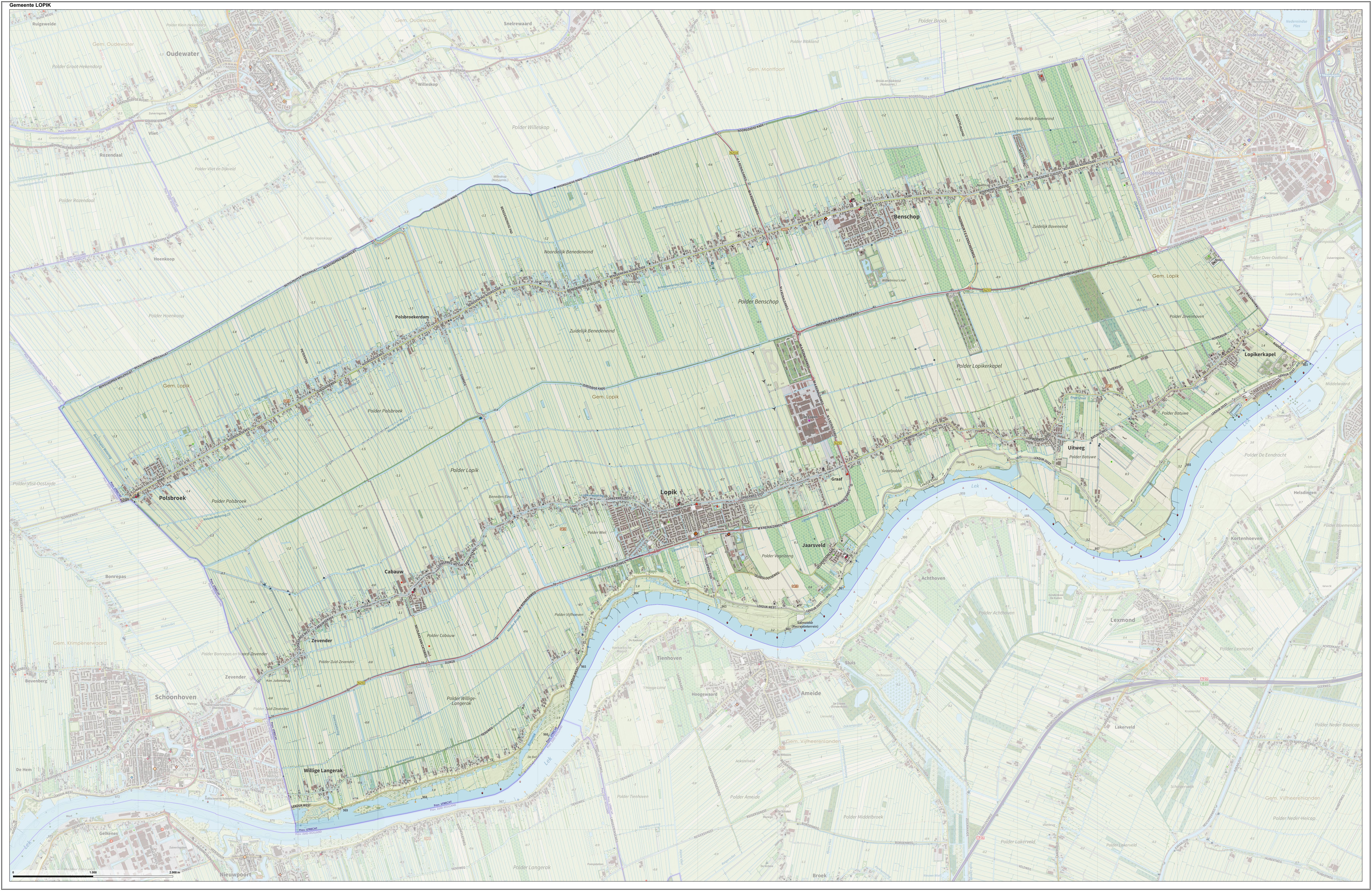
Lopik () is a municipality and a town in the Netherlands, in the province of Utrecht, close to the Lek river. History Lopik lies within the Lopikerwaard region, which used to be occupied by swamps and forests until the area was cultivated in the eleventh century. Lopik was first mentioned as "Lobeke" in 1155 CE. Most of the population settled along the canals that were used for transport and drainage (and which are still used for the latter purpose). It was not until after World War II that villages in the area were expanded beyond the original ribbons of buildings, and Lopik remains a well-known example of a linear settlement within the Netherlands. In the Netherlands, "Lopik" is often used as a reference to the broadcasting facilities located in the eastern part of the municipality and in neighbouring IJsselstein. These include the Gerbrandy Tower, a structure that is the tallest structure in the Netherlands, and the world's largest Christmas tree during the period around Chri ... [...More Info...] [...Related Items...] OR: [Wikipedia] [Google] [Baidu] |
Polsbroek
Polsbroek is a village in the Dutch province of Utrecht. It is a part of the municipality of Lopik, and lies about 10 km southeast of Gouda. Overview The village of Polsbroek consists of a ribbon of farms on both sides of the Benschopse Wetering, with a small centre on the west side of the village. In 2001, the village centre of Polsbroek had 421 inhabitants. The built-up area of the town was , and contained 143 residences.Statistics Netherlands (CBS), ''Bevolkingskernen in Nederland 2001'Statistics are for the continuous built-up area. The wider statistical area of Polsbroek, which covers the complete former municipality, including the ribbon of farms and the hamlet of Polsbroekerdam, has a population of 1190, and an area of about .http://www.cbs.nl/nl-NL/menu/themas/nederland-regionaal/nederland-regionaal/publicaties/gemeente-op-maat/2004/alfabet/l/2004-lopik.htm (*): includes Cabauw, Vliet, Vlist, Zevender, Hoenkoop. History In the early 12th century Polsbroek itself ... [...More Info...] [...Related Items...] OR: [Wikipedia] [Google] [Baidu] |
List Of Sovereign States
The following is a list providing an overview of sovereign states around the world with information on their status and recognition of their sovereignty. The 206 listed states can be divided into three categories based on membership within the United Nations System: 193 UN member states, 2 UN General Assembly non-member observer states, and 11 other states. The ''sovereignty dispute'' column indicates states having undisputed sovereignty (188 states, of which there are 187 UN member states and 1 UN General Assembly non-member observer state), states having disputed sovereignty (16 states, of which there are 6 UN member states, 1 UN General Assembly non-member observer state, and 9 de facto states), and states having a special political status (2 states, both in free association with New Zealand). Compiling a list such as this can be a complicated and controversial process, as there is no definition that is binding on all the members of the community of nations concerni ... [...More Info...] [...Related Items...] OR: [Wikipedia] [Google] [Baidu] |
Utrecht (province)
Utrecht (), officially the Province of Utrecht ( nl, Provincie Utrecht, link=no), is a province of the Netherlands. It is located in the centre of the country, bordering the Eemmeer in the north-east, the province of Gelderland in the east and south-east, the province of South Holland in the west and south-west and the province of North Holland in the north-west and north. The province of Utrecht has a population of 1,353,596 as of November 2019. It has a land area of approximately . Apart from its eponymous capital, major cities and towns in the province are Amersfoort, Houten, IJsselstein, Nieuwegein, Veenendaal and Zeist. The busiest railway station in the Netherlands, Utrecht Centraal, is located in the province of Utrecht. History The Bishopric of Utrecht was established in 695 when Saint Willibrord was consecrated bishop of the Frisians at Rome by Pope Sergius I. With the consent of the Frankish ruler, Pippin of Herstal, he settled in an old Roman fort in Utrecht. A ... [...More Info...] [...Related Items...] OR: [Wikipedia] [Google] [Baidu] |
Central European Time
Central European Time (CET) is a standard time which is 1 hour ahead of Coordinated Universal Time (UTC). The time offset from UTC can be written as UTC+01:00. It is used in most parts of Europe and in a few North African countries. CET is also known as Middle European Time (MET, German: MEZ) and by colloquial names such as Amsterdam Time, Berlin Time, Brussels Time, Madrid Time, Paris Time, Rome Time, Warsaw Time or even Romance Standard Time (RST). The 15th meridian east is the central axis for UTC+01:00 in the world system of time zones. As of 2011, all member states of the European Union observe summer time (daylight saving time), from the last Sunday in March to the last Sunday in October. States within the CET area switch to Central European Summer Time (CEST, UTC+02:00) for the summer. In Africa, UTC+01:00 is called West Africa Time (WAT), where it is used by several countries, year round. Algeria, Morocco, and Tunisia also refer to it as ''Central European ... [...More Info...] [...Related Items...] OR: [Wikipedia] [Google] [Baidu] |
Central European Summer Time
Central European Summer Time (CEST), sometimes referred to as Central European Daylight Time (CEDT), is the standard clock time observed during the period of summer daylight-saving in those European countries which observe Central European Time (CET; UTC+01:00) during the other part of the year. It corresponds to UTC+02:00, which makes it the same as Eastern European Time, Central Africa Time, South African Standard Time, Egypt Standard Time and Kaliningrad Time in Russia. Names Other names which have been applied to Central European Summer Time are Middle European Summer Time (MEST), Central European Daylight Saving Time (CEDT), and Bravo Time (after the second letter of the NATO phonetic alphabet). Period of observation Since 1996, European Summer Time has been observed between 01:00 UTC (02:00 CET and 03:00 CEST) on the last Sunday of March, and 01:00 UTC on the last Sunday of October; previously the rules were not uniform across the European Union. There were proposals ... [...More Info...] [...Related Items...] OR: [Wikipedia] [Google] [Baidu] |
Netherlands
) , anthem = ( en, "William of Nassau") , image_map = , map_caption = , subdivision_type = Sovereign state , subdivision_name = Kingdom of the Netherlands , established_title = Before independence , established_date = Spanish Netherlands , established_title2 = Act of Abjuration , established_date2 = 26 July 1581 , established_title3 = Peace of Münster , established_date3 = 30 January 1648 , established_title4 = Kingdom established , established_date4 = 16 March 1815 , established_title5 = Liberation Day (Netherlands), Liberation Day , established_date5 = 5 May 1945 , established_title6 = Charter for the Kingdom of the Netherlands, Kingdom Charter , established_date6 = 15 December 1954 , established_title7 = Dissolution of the Netherlands Antilles, Caribbean reorganisation , established_date7 = 10 October 2010 , official_languages = Dutch language, Dutch , languages_type = Regional languages , languages_sub = yes , languages = , languages2_type = Reco ... [...More Info...] [...Related Items...] OR: [Wikipedia] [Google] [Baidu] |
Gouda, South Holland
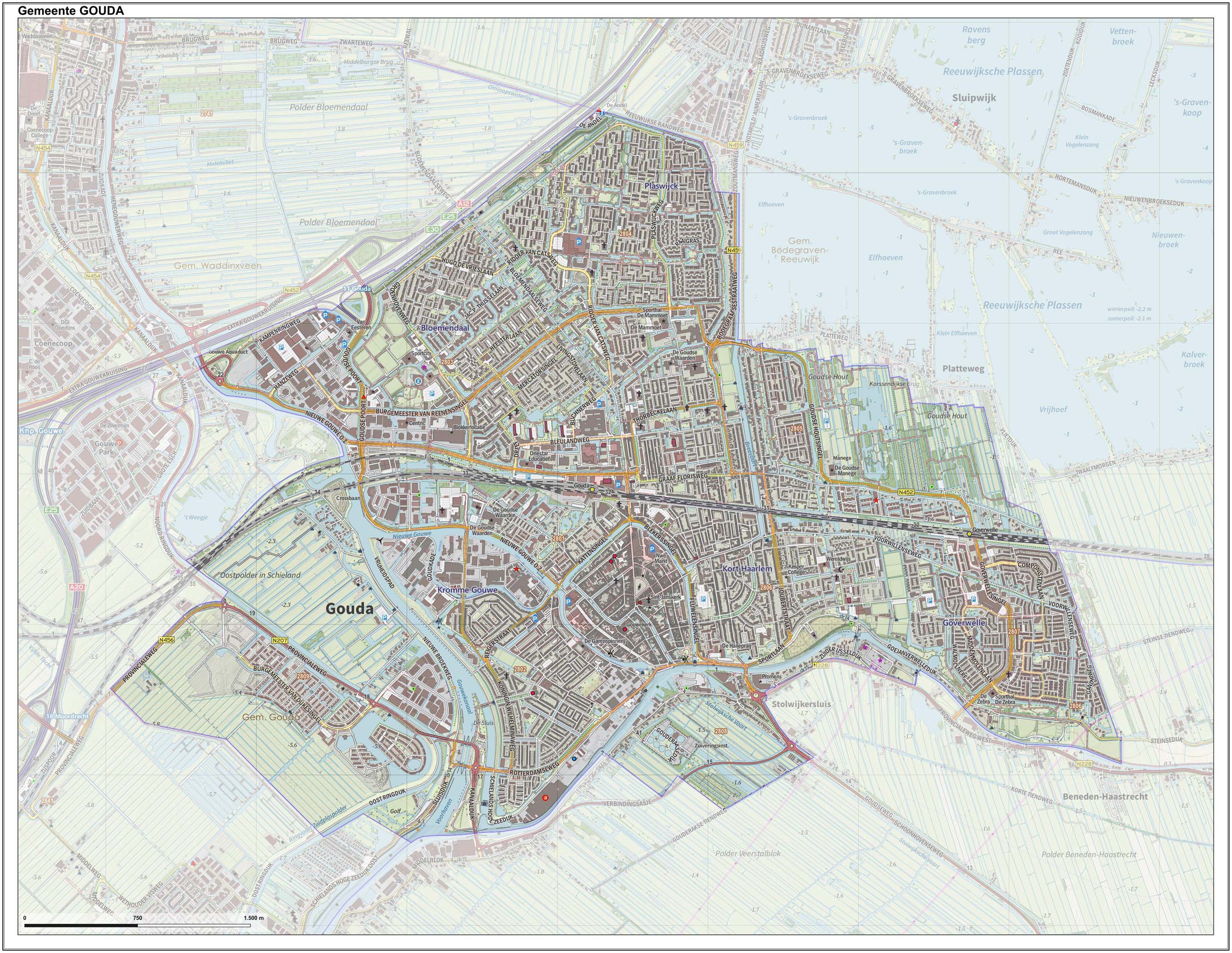
Gouda () is a city and municipality in the west of the Netherlands, between Rotterdam and Utrecht, in the province of South Holland. Gouda has a population of 75,000 and is famous for its Gouda cheese, stroopwafels, many grachten, smoking pipes, and its 15th-century city hall. Its array of historic churches and other buildings makes it a very popular day trip destination. In the Middle Ages, a settlement was founded at the location of the current city by the Van der Goude family, who built a fortified castle alongside the banks of the Gouwe River, from which the family and the city took its name. The area, originally marshland, developed over the course of two centuries. By 1225, a canal was linked to the Gouwe and its estuary was transformed into a harbour. City rights were granted in 1272. History Around the year 1100, the area where Gouda now is located was swampy and covered with a peat forest, crossed by small creeks such as the Gouwe. Along the shores of this st ... [...More Info...] [...Related Items...] OR: [Wikipedia] [Google] [Baidu] |
Veenendaal
Veenendaal () is a municipality and a town in central Netherlands, located in the province of Utrecht. Veenendaal is the only population centre within its administrative borders. The municipality had a population of 67.601 inhabitants on 1 january 2022 and covers an area of . History The original village was founded in the middle of the 16th century as a peat colony from which it got its name. ''Veen'' is the Dutch word for fen and ''daal'' for dale. The village was administratively part of two nearby towns, which were themselves part of two different provinces of the Dutch Republic. The southern half belonged to Rhenen in Utrecht, the northeastern half to Ede in Guelders. In 1795, with the arrival of French troops in the country and inspired by the ideas of the French Revolution, the citizens declared their independence. When turmoil of the Napoleonic era was settled and the Netherlands was reformed as a monarchy, only the southern part would retain its independence. In the ... [...More Info...] [...Related Items...] OR: [Wikipedia] [Google] [Baidu] |
Herman De Man
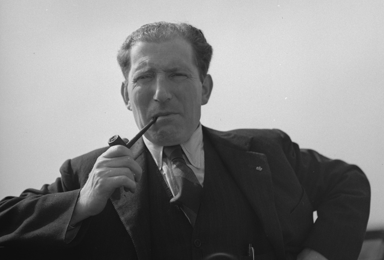
Salomon Herman "Sal" Hamburger (11 July 1898 – 14 November 1946), known under his pseudonym Herman de Man, was a Dutch novelist. Life and work Salomon Herman Hamburger was born on 11 July 1898 in Woerden in the Netherlands. De Man, son of businessman Herman Salomon Hamburger and Sarah Cohen Schavrien, grew up in the Lopikerwaard area. His family has lived in Woerden, Benschop, Oudewater and Gouda. Many of his later novels are set in the places where he grew up. His novel ''The rising waters'', which appeared in 1991, the 30th print, is located in the Lopikerwaard. The book received wide publicity, partly because it was made into a 1986 eight-part television series: six million viewers viewed this series that year. It was then repeated several times, most recently in 2011. De Man died in an airplane crash on 14 November 1946 during a third unsuccessful landing attempt of a Douglas C-47 of KLM. The aircraft was following a course correction and crashed to the ground. All 21 ... [...More Info...] [...Related Items...] OR: [Wikipedia] [Google] [Baidu] |


