|
Point Richmond Historic District
The Point Richmond Historic District is the downtown area of Point Richmond in Richmond, California, and is on the National Register of Historic Places. History This historic district developed in the late 1890s when the San Francisco and San Joaquin Valley Railway occupied of land in the area that is now the neighborhood downtown of Point Richmond.Walk Historic Point Richmond , Richmond Convention and Visitors Bureau, retrieved August 28, 2007 The acres were bought by the Santa Fe Railroad upon completion and at the same time the Pacific Coast Oil Company (later Standard Oil, today Chevron) acquired adjacent lands and built an |
Richmond, California
Richmond is a city in western Contra Costa County, California, United States. The city was municipal corporation, incorporated on August 7, 1905, and has a Richmond, California City Council, city council.East Shore and Suburban Railway Chronology , ''El Cerrito Historical Society'', June 2007. Retrieved August 15, 2007. Located in the San Francisco Bay Area's East Bay region, Richmond borders San Pablo, California, San Pablo, Albany, California, Albany, El Cerrito, California, El Cerrito and Pinole, California, Pinole in addition to the unincorporated area, unincorporated communities of North Richmond, California, North Richmond, Hasford Heights, Kensington, California, Kensington, El Sobrante, Contra Costa County, California, El Sobrante, Bayview-Montalvin Manor, Tara Hills, California, Tara ... [...More Info...] [...Related Items...] OR: [Wikipedia] [Google] [Baidu] |
Cutting Boulevard
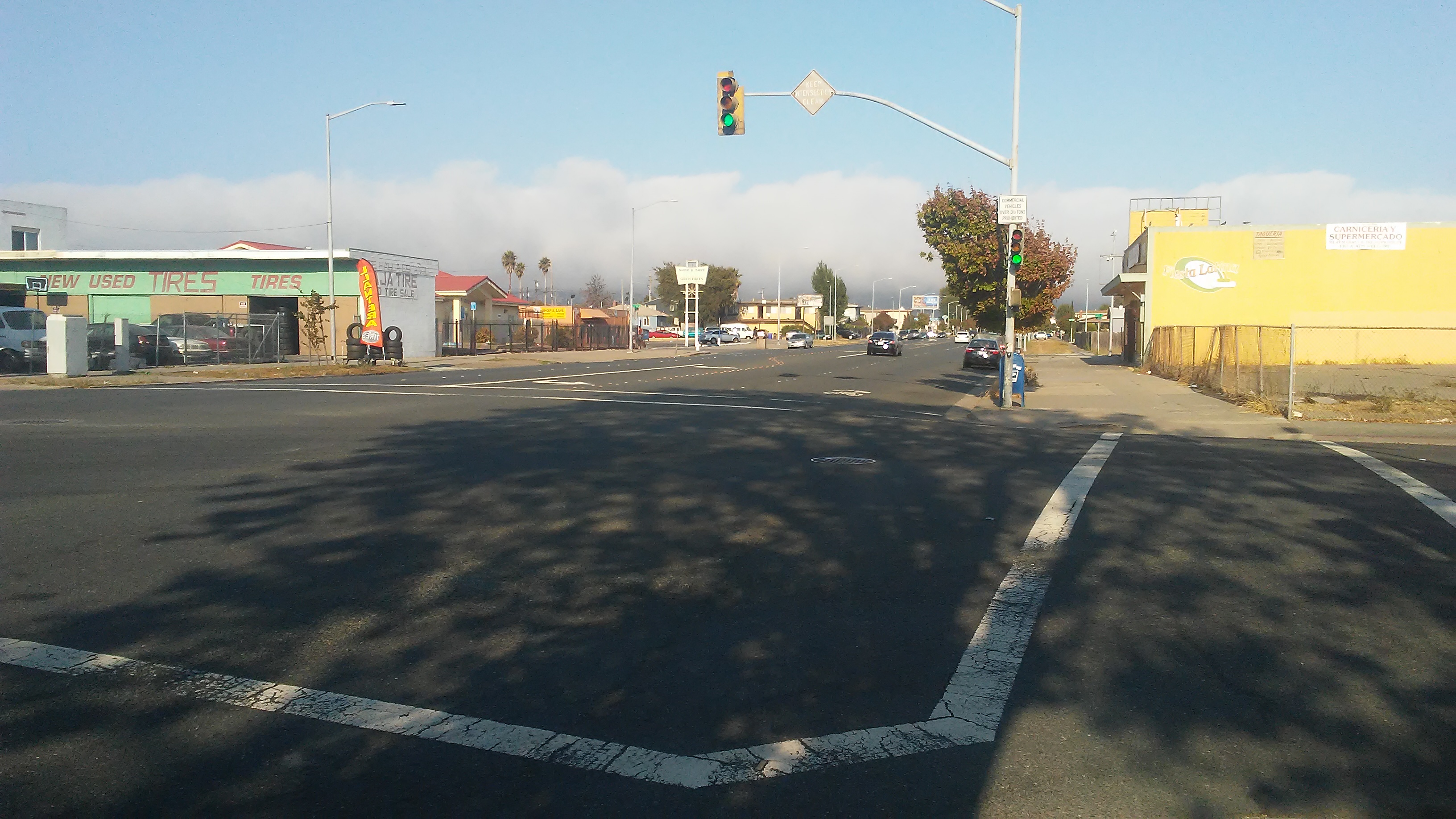
Cutting Boulevard is a major east–west arterial trunk road in the city of Richmond, California. History It is named after Henry Cutting, the founder of the Port of Richmond. It begins in the historic neighborhood of Point Richmond at the base of the Richmond-San Rafael Bridge and flows through the South Richmond forming the border with that neighborhood and Marina Bay as does the parallel Interstate 580. The road continues past 23rd street until reaching San Pablo Avenue (State Route 123) the major north–south artery for the West Contra Costa County area, adjacent to the regional transit hub of El Cerrito del Norte BART station, where buses from several counties converge to link with this metro system. This boulevard then thins out into a street as it climbs the hills of El Cerrito until reaching its end at Arlington Boulevard, a major north–south trunk road between the Richmond and Berkeley hills through El Cerrito. In the year 1990 a major improvement program was de ... [...More Info...] [...Related Items...] OR: [Wikipedia] [Google] [Baidu] |
Historic Districts On The National Register Of Historic Places In California
History (derived ) is the systematic study and the documentation of the human activity. The time period of event before the invention of writing systems is considered prehistory. "History" is an umbrella term comprising past events as well as the memory, discovery, collection, organization, presentation, and interpretation of these events. Historians seek knowledge of the past using historical sources such as written documents, oral accounts, art and material artifacts, and ecological markers. History is not complete and still has debatable mysteries. History is also an academic discipline which uses narrative to describe, examine, question, and analyze past events, and investigate their patterns of cause and effect. Historians often debate which narrative best explains an event, as well as the significance of different causes and effects. Historians also debate the nature of history as an end in itself, as well as its usefulness to give perspective on the problems of the p ... [...More Info...] [...Related Items...] OR: [Wikipedia] [Google] [Baidu] |
History Of Contra Costa County, California
) of the San Francisco Bay , subdivision_type = Country , subdivision_name = United States , subdivision_type1 = State , subdivision_name1 = California , subdivision_type2 = Region , subdivision_name2 = San Francisco Bay Area , seat_type = County seat , seat = Martinez , parts_type = Largest city , parts = Concord (population and land area)Richmond (total area) , unit_pref = US , area_total_sq_mi = 804 , area_land_sq_mi = 715.94 , area_water_sq_mi = 81 , elevation_max_footnotes = , elevation_max_ft = 3852 , population_as_of = 2020 , population_footnotes = , population_total = 1,165,927 , population_density_sq_mi = 1629 , established_title ... [...More Info...] [...Related Items...] OR: [Wikipedia] [Google] [Baidu] |
National Register Of Historic Places Listings In Contra Costa County, California
__NOTOC__ This is a list of the National Register of Historic Places listings in Contra Costa County, California. This is intended to be a complete list of the properties and districts on the National Register of Historic Places in Contra Costa County, California, Contra Costa County, California, United States. Latitude and longitude coordinates are provided for many National Register properties and districts; these locations may be seen together in an online map. There are 49 properties and districts listed on the National Register in the county, including 1 National Historic Landmark. Current listings First property listed under the Multiple Property Submission "Historic Resources of Martinez, California" also accepted to the National Register of Historic Places April 2015. See also *List of National Historic Landmarks in California *National Register of Historic Places listings in California *California Historical Landmar ... [...More Info...] [...Related Items...] OR: [Wikipedia] [Google] [Baidu] |
El Cerrito Del Norte (BART Station)
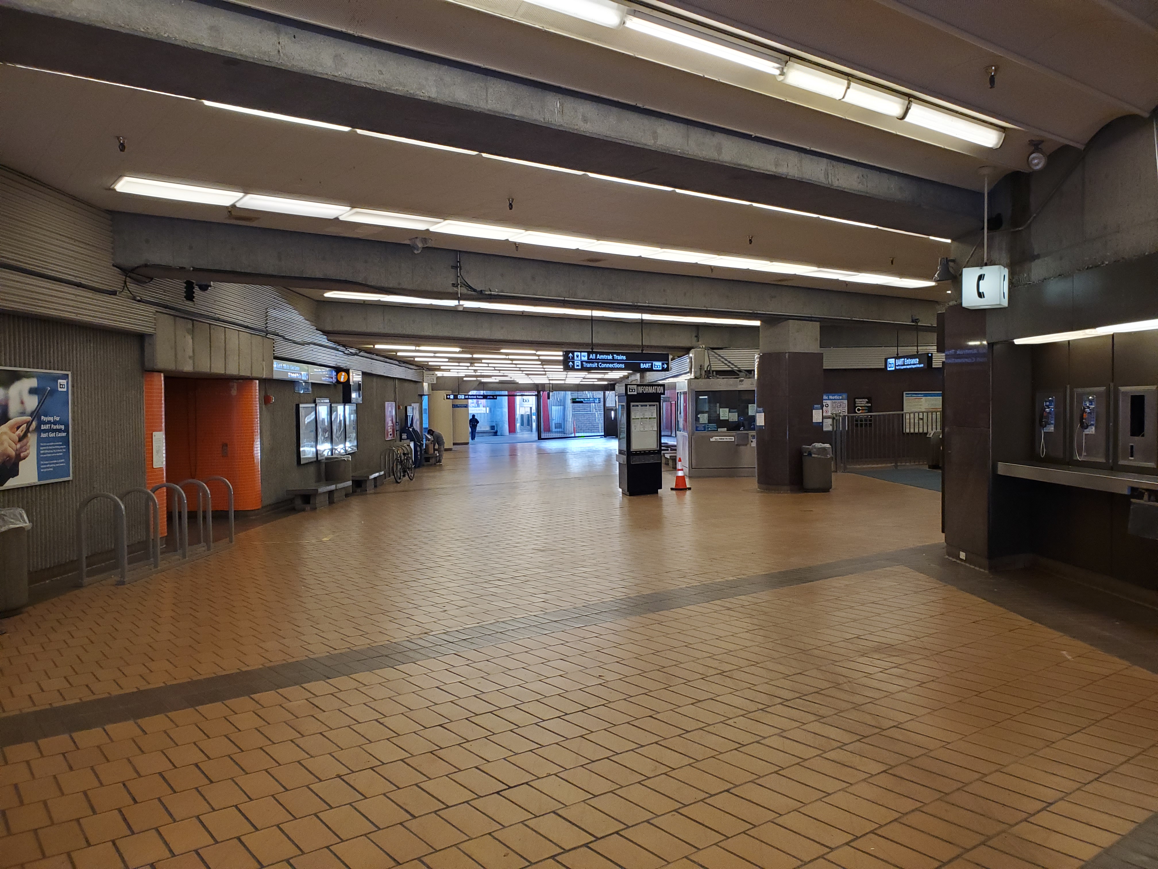
El Cerrito del Norte station (''North Hillock'' in Spanish) is a BART station located off Cutting Boulevard near San Pablo Avenue and Interstate 80 in El Cerrito, California. The station serves as a regional transit hub for local AC Transit bus services, and for commuter feeder services from Solano, Napa, and Marin Counties in the North Bay plus western Contra Costa County. Opened in 1973, the station was renovated in 2017–2021 to add additional elevators, stairs, and lobby space. The station features large parking areas throughout, including surface parking and a four-story parking garage on the east side. There are also reserved bicycle lockers and open air racks available. There is a kiss and ride and taxi zone on the east side of the station. The Ohlone Greenway runs through the station area. History El Cerrito del Norte station opened on January 29, 1973 when service began between MacArthur station and Richmond station. As with El Cerrito Plaza station, the escala ... [...More Info...] [...Related Items...] OR: [Wikipedia] [Google] [Baidu] |
Richmond Station (California)
Richmond station (officially the Richmond Transit Center) is a Amtrak intercity rail and Bay Area Rapid Transit (BART) station located in downtown Richmond, California. Richmond is the north terminus of BART service on the and ; it is a stop for Amtrak's ''Capitol Corridor'', ''San Joaquin (train), San Joaquins'', and ''California Zephyr'' routes. The accessible station has one island platform for the two BART tracks, with a second island platform serving two of the three tracks of the Union Pacific Railroad Martinez Subdivision for Amtrak trains. It is one of two transfer points between BART and Amtrak, along with Oakland Coliseum station. The Southern Pacific Railway, Southern Pacific (SP)-controlled Northern Railway (California), Northern Railway opened through what is now Richmond in 1878. A flag stop at Barrett's Station was established by the mid-1880s; it was renamed Richmond in 1902 during the town's rapid growth. The SP constructed a new station at Richmond in 1904 an ... [...More Info...] [...Related Items...] OR: [Wikipedia] [Google] [Baidu] |
AC Transit
AC Transit (Alameda-Contra Costa Transit District) is an Oakland-based public transit agency serving the western portions of Alameda and Contra Costa counties in the East Bay of the San Francisco Bay Area. AC Transit also operates "Transbay" routes across San Francisco Bay to San Francisco and selected areas in San Mateo and Santa Clara counties. AC Transit is constituted as a special district under California law. It is governed by seven elected members (five from geographic wards and two at large). It is not a part of or under the control of Alameda or Contra Costa counties or any local jurisdictions. Buses operate out of four operating divisions: Emeryville, East Oakland (Seminary), Hayward, and Richmond. The Operations Control Center is in Emeryville. The Richmond operating division closed in 2011, but opened again in early 2017 due to a revived economy. The District is the public successor to the privately owned Key System. In , the system had a ridership of , or about ... [...More Info...] [...Related Items...] OR: [Wikipedia] [Google] [Baidu] |
Macdonald Avenue
Macdonald Avenue is the main east-to-west artery in Richmond, California.Point Molate Casino EIR, Volume I, 2009, accessed May 25, 2010 History Macdonald Avenue runs in a straight line from the Richmond Parkway through to San Pablo Avenue, after which it continues as a minor street for a few blocks, ending at Ludwig Avenue in[...More Info...] [...Related Items...] OR: [Wikipedia] [Google] [Baidu] |
Point Richmond, Richmond, California
Point Richmond, also sometimes referred to locally as The Point, is a neighborhood in Richmond, California, United States, near the eastern end of the Richmond-San Rafael Bridge, between Interstate 580 and the San Francisco Bay. History Originally a tiny village known as ''East Yards'' surrounded by abandoned farm lands,The Early Years 1902 - 1914 , Chevron website, access date 02-19-2009 Point Richmond was Richmond's central downtown area from the late 19th century until the early 20th century, when the present downtown superseded it as the busiest part of town. Since then, its trademark " mom-and-pop" shops have largely survived. The |
Richmond Parkway (California)
Richmond Parkway (originally Richmond Bypass) is an arterial road connecting Interstate 580 and Interstate 80 through Richmond, California. The road allows drivers traveling between Marin County (to the west) and Solano County (to the north) to bypass central Richmond. History The original idea for Richmond Parkway came from a state proposal for State Route 93 in the early 1980s. When the state did not implement the plan, local officials assembled $200 million in state and local funds to fund a road largely following the same route as proposed Route 93, which was built in the 1990s. While it mostly functions as an expressway, parts of Richmond Parkway do not meet state expressway standards. For this reason, Caltrans The California Department of Transportation (Caltrans) is an Executive (government), executive department of the U.S. state of California. The department is part of the Government of California#State agencies, cabinet-level California State Tran ... has refuse ... [...More Info...] [...Related Items...] OR: [Wikipedia] [Google] [Baidu] |
Interstate 580 (California)
Interstate 580 (I-580) is an approximately east–west auxiliary Interstate Highway in Northern California. The heavily traveled spur route of I-80 runs from US Route 101 (US 101) in San Rafael in the San Francisco Bay Area to I-5 at a point outside the southern city limits of Tracy in the Central Valley. I-580 forms a concurrency with I-80 between Albany and Oakland, the latter of which is the location of the MacArthur Maze interchange immediately east of the San Francisco–Oakland Bay Bridge. I-580 provides a connection from the Bay Area to the southern San Joaquin Valley and Southern California via I-5, as I-5 bypasses the Bay Area to the east. A portion of I-580 is called the MacArthur Freeway, after General Douglas MacArthur. Other portions are named the John T. Knox Freeway (after a former speaker pro tempore of the California State Assembly), the Eastshore Freeway (after its location on San Francisco Bay), the Arthur H. Breed Jr. Freeway (after a ... [...More Info...] [...Related Items...] OR: [Wikipedia] [Google] [Baidu] |


.jpg)


.jpg)

