|
Pocantico River
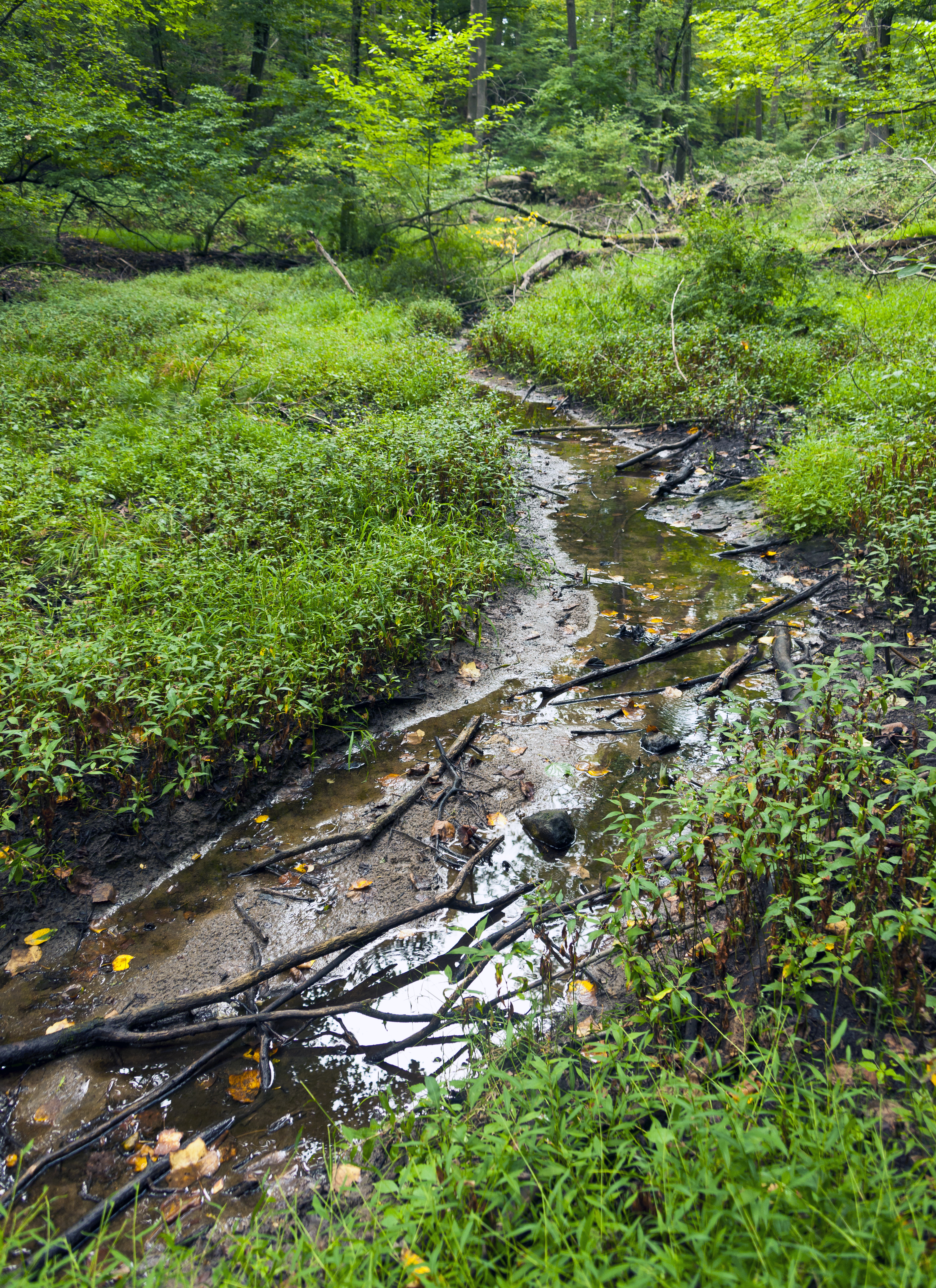
The Pocantico River is a tributary of the Hudson River in western central Westchester County, New York, United States. It rises from Echo Lake, in the town of New Castle south of the hamlet of Millwood, and flows generally southwest past Briarcliff Manor to its outlet at Sleepy Hollow. Portions of the towns of Mount Pleasant and Ossining are within its watershed. Writer Washington Irving, who lived in the area for most of his life, was inspired by the undeveloped area above the river's mouth to write his classic "The Legend of Sleepy Hollow". Later in the 19th century much of the land was purchased by the Rockefeller family as part of their Kykuit estate; today much of that land has become Rockefeller State Park Preserve. A former reservoir used by the city of New Rochelle has likewise been converted into county-run Pocantico Lake Park. While the river runs predominantly through those parks and suburban land, it is still one of the most polluted tributaries of the Hudson. ... [...More Info...] [...Related Items...] OR: [Wikipedia] [Google] [Baidu] |
Rockefeller State Park
Rockefeller State Park Preserve is a state park in Mount Pleasant, New York in the eastern foothills of the Hudson River in Westchester County. Common activities in the park include horse-riding, walking, jogging, running, bird-watching, and fishing. The park has a rich history and was donated to the State of New York over time by the Rockefeller family beginning in 1983. A section of the park, the Rockwood Hall property, fronts the Hudson River. It was formerly the private residence of William Rockefeller, and began use as a New York state park in the early 1970s. In 2018, the park was added to New York's State Register of Historic Places. Features Rockefeller State Park Preserve is designated by the National Audubon Society as an Important Bird Area with over 180 species, and is known for its wildlife, carriage trails, and scenic vistas. The park's of carriage roads allow visitors to view the various habitats of the park, which include open meadows, dense forest, meandering ... [...More Info...] [...Related Items...] OR: [Wikipedia] [Google] [Baidu] |
The Legend Of Sleepy Hollow
"The Legend of Sleepy Hollow" is a gothic story by American author Washington Irving, contained in his collection of 34 essays and short stories titled ''The Sketch Book of Geoffrey Crayon, Gent.'' Written while Irving was living abroad in Birmingham, England. "The Legend of Sleepy Hollow" was first published in 1820. Along with Irving's companion piece "Rip Van Winkle", "The Legend of Sleepy Hollow" is among the earliest examples of American fiction with enduring popularity, especially during Halloween because of a character known as the Headless Horseman believed to be a Hessian soldier who was decapitated by a cannonball in battle. In 1949, the second film adaptation was produced by Walt Disney as one of two segments in the package film '' The Adventures of Ichabod and Mr. Toad''. Plot The story is set in 1790 in the countryside around the Dutch settlement of Tarry Town (historical Tarrytown, New York), in a secluded glen known as Sleepy Hollow. Sleepy Hollow is renowne ... [...More Info...] [...Related Items...] OR: [Wikipedia] [Google] [Baidu] |
North County Trailway
The North County Trailway is a long paved rail trail stretching from Eastview to Baldwin Place in Westchester County, New York. It is also part of the statewide Empire State Trail. History and route The North County Trailway was constructed along the Putnam Division railbed of the former New York Central Railroad ("Old Put"). At its north end it becomes the Putnam County Trailway, which continues along the former railbed to Brewster, New York. It connects to the South County Trailway in Eastview, also built along the former railroad. It connects through the Eastview parking lot to the Tarrytown Lakes Extension and Tarrytown Lakes Trail to the Old Croton Aqueduct and Tarrytown. While primarily a dedicated multi-use path, trail users are directed by signs to use a highway shoulder for two sections between Briarcliff Manor and Millwood. The Putnam Division provided passenger service from 1881 to 1958 between the Bronx and Putnam County, with freight service continuing until ... [...More Info...] [...Related Items...] OR: [Wikipedia] [Google] [Baidu] |
Campfire Lake
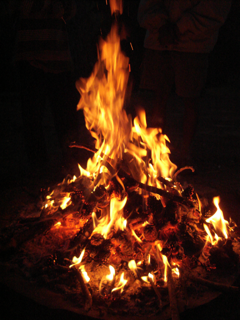
A campfire is a fire at a campsite that provides light and warmth, and heat for cooking. It can also serve as a beacon, and an insect and predator deterrent. Established campgrounds often provide a stone or steel fire ring for safety. Campfires are a popular feature of camping. At summer camps, the word campfire often refers to an event (ceremony, get together, etc.) at which there is a fire. Some camps refer to the fire itself as a campfire. History First campfire A new analysis of burned antelope bones from caves in Swartkrans, South Africa, confirms that ''Australopithecus robustus'' and/or ''Homo erectus'' built campfires roughly 1.6 million years ago. Nearby evidence within Wonderwerk Cave, at the edge of the Kalahari Desert, has been called the oldest known controlled fire. Microscopic analysis of plant ash and charred bone fragments suggests that materials in the cave were not heated above about . This is consistent with preliminary findings that the fires burned grasses, ... [...More Info...] [...Related Items...] OR: [Wikipedia] [Google] [Baidu] |
Weir Chamber Sleepy Hollow
A weir or low head dam is a barrier across the width of a river that alters the flow characteristics of water and usually results in a change in the height of the river level. Weirs are also used to control the flow of water for outlets of lakes, ponds, and reservoirs. There are many weir designs, but commonly water flows freely over the top of the weir crest before cascading down to a lower level. Etymology There is no single definition as to what constitutes a weir and one English dictionary simply defines a weir as a small dam, likely originating from Middle English ''were'', Old English ''wer'', derivative of root of ''werian,'' meaning "to defend, dam". Function Commonly, weirs are used to prevent flooding, measure water discharge, and help render rivers more navigable by boat. In some locations, the terms dam and weir are synonymous, but normally there is a clear distinction made between the structures. Usually, a dam is designed specifically to impound water behind ... [...More Info...] [...Related Items...] OR: [Wikipedia] [Google] [Baidu] |
Unincorporated Community
An unincorporated area is a region that is not governed by a local municipal corporation. Widespread unincorporated communities and areas are a distinguishing feature of the United States and Canada. Most other countries of the world either have no unincorporated areas at all or these are very rare: typically remote, outlying, sparsely populated or uninhabited areas. By country Argentina In Argentina, the provinces of Chubut, Córdoba, Entre Ríos, Formosa, Neuquén, Río Negro, San Luis, Santa Cruz, Santiago del Estero, Tierra del Fuego, and Tucumán have areas that are outside any municipality or commune. Australia Unlike many other countries, Australia has only one level of local government immediately beneath state and territorial governments. A local government area (LGA) often contains several towns and even entire metropolitan areas. Thus, aside from very sparsely populated areas and a few other special cases, almost all of Australia is part of an LGA. Uninc ... [...More Info...] [...Related Items...] OR: [Wikipedia] [Google] [Baidu] |
Taconic State Parkway
The Taconic State Parkway (often called the Taconic or the TSP and known administratively as New York State Route 987G or NY 987G) is a Parkways in New York State, parkway between Kensico Dam and Chatham (town), New York, Chatham, the longest in the U.S. state of New York (state), New York. It follows a generally north–south route midway between the Hudson River and the Connecticut and Massachusetts state lines, much of its upper section along the westernmost flank of the Taconic Mountains. Its southernmost are a surface road; from the junction with the Sprain Brook Parkway northward it is a limited-access highway, limited-access divided highway. It has grade-separated interchange (road), interchanges from that point to its northern terminus; in the three northern counties, there are also at-grade intersections, many with closed medians, allowing only right-in/right-out turns. It is open only to passenger vehicles, as with other parkways in New York, and maintained by ... [...More Info...] [...Related Items...] OR: [Wikipedia] [Google] [Baidu] |
New York State Route 100
New York State Route 100 (NY 100) is a major north–south state highway in Westchester County, New York, in the United States. It begins parallel to Interstate 87 (I-87) at a junction with the Cross County Parkway in the city of Yonkers and runs through most of the length of the county up to U.S. Route 202 (US 202) in the town of Somers. NY 100 was designated as part of the 1930 renumbering of state highways in New York. Prior to becoming a state road, various sections of NY 100 were part of several important early roads in the county. Route description NY 100 begins in the city of Yonkers as Central Park Avenue (almost always just called "Central Avenue") at exit 4 of the New York State Thruway (I-87). This portion of Central Avenue is maintained by Westchester County as County Route 47II (CR 47II), an unsigned reference route. Central Avenue continues south as a service road for I-87 until The Bronx, where it splits ... [...More Info...] [...Related Items...] OR: [Wikipedia] [Google] [Baidu] |
Saw Mill River
The Saw Mill River is a tributary of the Hudson River in Westchester County, New York, United States. It flows from an unnamed pond north of Chappaqua to Getty Square in Yonkers, where it empties into the Hudson as that river's southernmost tributary. It is the only major stream in southern Westchester County to drain into the Hudson instead of Long Island Sound. It drains an area of , most of it heavily developed suburbia. For , it flows parallel to the Saw Mill River Parkway, a commuter artery, an association that has been said to give the river an "identity crisis." The watershed was settled by the Dutch in the 17th century. The land was long owned by Frederick Philipse I and his descendants as Philipsburg Manor, site of Philipse Manor Hall, until the family lost it at the end of the American Revolution. The land along the river was later divided into multiple towns. Industry in Yonkers developed along the Saw Mill, so polluting the river by the end of the 19th century t ... [...More Info...] [...Related Items...] OR: [Wikipedia] [Google] [Baidu] |
Echo Lake State Park (New York)
Echo Lake State Park is a public recreation area in North Conway, New Hampshire, that features Echo Lake and two rock ledges with scenic views, Cathedral Ledge and White Horse Ledge. Activities include swimming, hiking, non-motorized boating, picnicking and fishing. There is a one-mile trail around the lake. A mile-long auto road and hiking trails lead to the top of Cathedral Ledge (summit elevation ) with views across the Saco River Valley to the White Mountains and Kearsarge North. Both Cathedral Ledge and White Horse Ledge are popular for rock and ice climbing. History In 1899, Cathedral Ledge was purchased for $1,000 by a group of area visitors and local residents, and in 1900, White Horse Ledge was purchased. Both were later deeded to the State of New Hampshire. In 1943, the Society for the Protection of New Hampshire Forests The Society for the Protection of New Hampshire Forests (SPNHF) is a private, non-profit, land conservation and sustainable forestry organization b ... [...More Info...] [...Related Items...] OR: [Wikipedia] [Google] [Baidu] |
Water Pollution
Water pollution (or aquatic pollution) is the contamination of water bodies, usually as a result of human activities, so that it negatively affects its uses. Water bodies include lakes, rivers, oceans, aquifers, reservoirs and groundwater. Water pollution results when contaminants are introduced into these water bodies. Water pollution can be attributed to one of four sources: sewage discharges, industrial activities, agricultural activities, and urban runoff including stormwater. It can be grouped into surface water pollution (either fresh water pollution or marine pollution) or groundwater pollution. For example, releasing inadequately treated wastewater into natural waters can lead to degradation of these aquatic ecosystems. Water pollution can also lead to water-borne diseases for people using polluted water for drinking, bathing, washing or irrigation. Water pollution reduces the ability of the body of water to provide the ecosystem services (such as drinking water) that ... [...More Info...] [...Related Items...] OR: [Wikipedia] [Google] [Baidu] |
New Rochelle
New Rochelle (; older french: La Nouvelle-Rochelle) is a city in Westchester County, New York, United States, in the southeastern portion of the state. In 2020, the city had a population of 79,726, making it the seventh-largest in the state of New York. Some residents refer to the city as '' New Ro'' or ''New Roc City''. History Etymology and early history The European settlement was started by refugee Huguenots (French Protestants) in 1688, who were fleeing religious persecution in France (such as '' Dragonnades'') after the king's revocation of the Edict of Nantes. Many of the settlers were artisans and craftsmen from the city of La Rochelle, France, thus influencing the choice of the name of "New Rochelle". 17th and 18th centuries Some 33 families established the community of ''La Nouvelle-Rochelle'' () in 1688. A monument containing the names of these settlers stands in Hudson Park, the original landing point of the Huguenots. Thirty-one years earlier, the Siwanoy In ... [...More Info...] [...Related Items...] OR: [Wikipedia] [Google] [Baidu] |


.jpg)