|
Piracy In The Caribbean
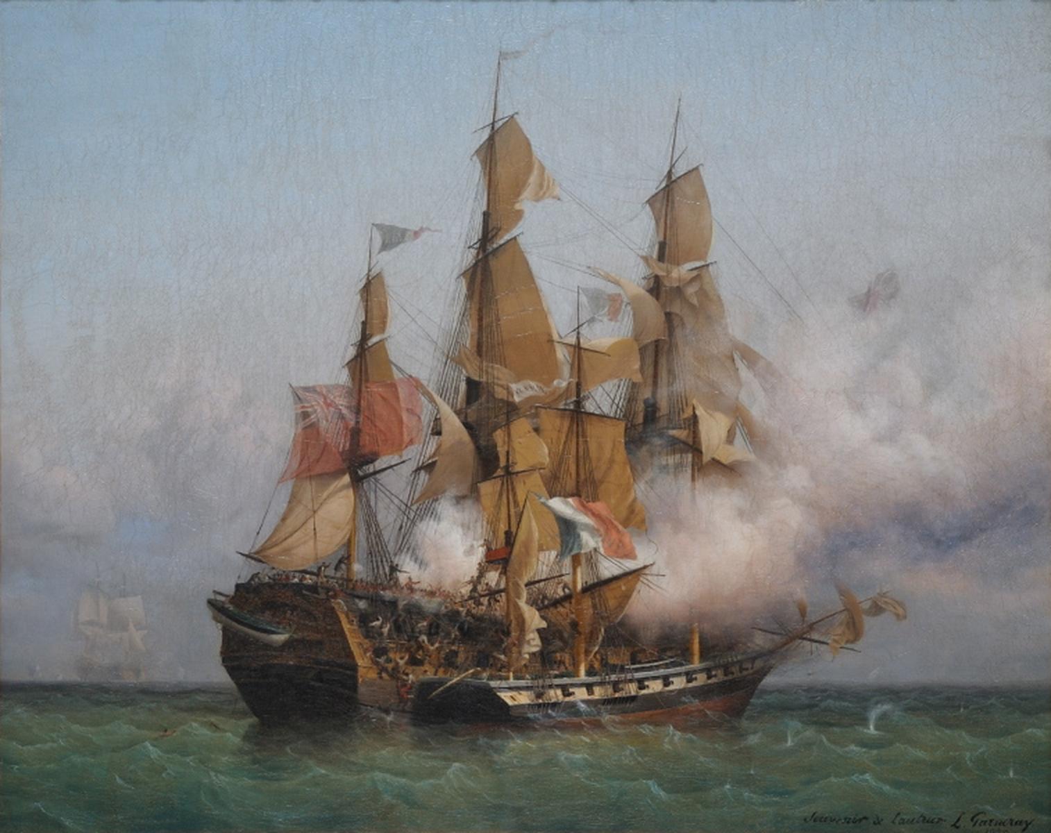
]The era of piracy in the Caribbean began in the 1500s and phased out in the 1830s after the navies of the nations of Western Europe and North America with colonies in the Caribbean began combating pirates. The period during which pirates were most successful was from the 1660s to 1730s. Piracy flourished in the Caribbean because of the existence of pirate seaports such as Port Royal in Jamaica,Campo-Flores/ Arian, "Yar, Mate! Swashbuckler Tours!," Newsweek 180, no. 6 (2002): 58. Tortuga in Haiti, and Nassau in the Bahamas.Smith, Simon. "Piracy in early British America." History Today 46, no. 5 (May 1996): 29. Piracy in the Caribbean was part of a larger historical phenomenon of piracy, as it existed close to major trade and exploration routes in almost all the five oceans. Causes Pirates were often former sailors experienced in naval warfare. In the 16th century, pirate captains recruited seamen to loot European merchant ships, especially the Spanish treasure fleets sai ... [...More Info...] [...Related Items...] OR: [Wikipedia] [Google] [Baidu] |
Central America (cia)
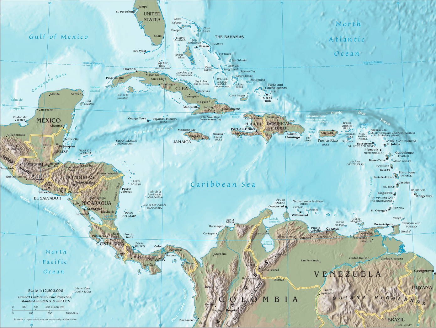
Central America ( es, América Central or ) is a subregion of the Americas. Its boundaries are defined as bordering the United States to the north, Colombia to the south, the Caribbean Sea to the east, and the Pacific Ocean to the west. Central America consists of eight countries: Belize, Costa Rica, El Salvador, Guatemala, Honduras, Mexico, Nicaragua, and Panama. Within Central America is the Mesoamerican biodiversity hotspot, which extends from northern Guatemala to central Panama. Due to the presence of several active geologic faults and the Central America Volcanic Arc, there is a high amount of seismic activity in the region, such as volcanic eruptions and earthquakes which has resulted in death, injury, and property damage. In the pre-Columbian era, Central America was inhabited by the indigenous peoples of Mesoamerica to the north and west and the Isthmo-Colombian peoples to the south and east. Following the Spanish expedition of Christopher Columbus' voyages to the ... [...More Info...] [...Related Items...] OR: [Wikipedia] [Google] [Baidu] |
Privateering
A privateer is a private person or ship that engages in maritime warfare under a commission of war. Since robbery under arms was a common aspect of seaborne trade, until the early 19th century all merchant ships carried arms. A sovereign or delegated authority issued commissions, also referred to as a letter of marque, during wartime. The commission empowered the holder to carry on all forms of hostility permissible at sea by the usages of war. This included attacking foreign vessels and taking them as prizes, and taking prize crews as prisoners for exchange. Captured ships were subject to condemnation and sale under prize law, with the proceeds divided by percentage between the privateer's sponsors, shipowners, captains and crew. A percentage share usually went to the issuer of the commission (i.e. the sovereign). Privateering allowed sovereigns to raise revenue for war by mobilizing privately owned armed ships and sailors to supplement state power. For participants, privateeri ... [...More Info...] [...Related Items...] OR: [Wikipedia] [Google] [Baidu] |
Cuba
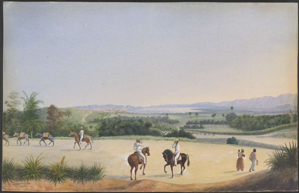
Cuba ( , ), officially the Republic of Cuba ( es, República de Cuba, links=no ), is an island country comprising the island of Cuba, as well as Isla de la Juventud and several minor archipelagos. Cuba is located where the northern Caribbean Sea, Gulf of Mexico, and Atlantic Ocean meet. Cuba is located east of the Yucatán Peninsula (Mexico), south of both the American state of Florida and the Bahamas, west of Hispaniola ( Haiti/Dominican Republic), and north of both Jamaica and the Cayman Islands. Havana is the largest city and capital; other major cities include Santiago de Cuba and Camagüey. The official area of the Republic of Cuba is (without the territorial waters) but a total of 350,730 km² (135,418 sq mi) including the exclusive economic zone. Cuba is the second-most populous country in the Caribbean after Haiti, with over 11 million inhabitants. The territory that is now Cuba was inhabited by the Ciboney people from the 4th millennium BC with the Gua ... [...More Info...] [...Related Items...] OR: [Wikipedia] [Google] [Baidu] |
Santiago De Cuba
Santiago de Cuba is the second-largest city in Cuba and the capital city of Santiago de Cuba Province. It lies in the southeastern area of the island, some southeast of the Cuban capital of Havana. The municipality extends over , and contains the communities of Antonio Maceo, Bravo, Castillo Duany, Daiquirí, El Caney, El Cobre, El Cristo, Guilera, Leyte Vidal, Moncada and Siboney. Historically Santiago de Cuba was the second-most important city on the island after Havana, and remains the second-largest. It is on a bay connected to the Caribbean Sea and an important sea port. In the 2012 population census, the city of Santiago de Cuba recorded a population of 431,272 people. History Santiago de Cuba was the fifth village founded by Spanish conquistador Diego Velázquez de Cuéllar on July 25, 1515. The settlement was destroyed by fire in 1516, and was immediately rebuilt. This was the starting point of the expeditions led by Juan de Grijalba and Hernán Cortés to the ... [...More Info...] [...Related Items...] OR: [Wikipedia] [Google] [Baidu] |
Isthmus Of Panama
The Isthmus of Panama ( es, Istmo de Panamá), also historically known as the Isthmus of Darien (), is the narrow strip of land that lies between the Caribbean Sea and the Pacific Ocean, linking North and South America. It contains the country of Panama and the Panama Canal. Like many isthmuses, it is a location of great geopolitical and strategic importance. The isthmus is thought to have been formed around 3 million years ago, separating the Atlantic and Pacific Oceans and causing the creation of the Gulf Stream. This was first suggested in 1910 by North American paleontologist Henry Fairfield Osborn. He based the proposal on the fossil record of mammals in Central America. This conclusion provided a foundation for Alfred Wegener when he proposed the theory of continental drift in 1912. History Vasco Núñez de Balboa heard of the South Sea from natives while sailing along the Caribbean coast. On 25 September 1513 his expedition became the first Europeans to see the Pa ... [...More Info...] [...Related Items...] OR: [Wikipedia] [Google] [Baidu] |
Panama City
Panama City ( es, Ciudad de Panamá, links=no; ), also known as Panama (or Panamá in Spanish), is the capital and largest city of Panama. It has an urban population of 880,691, with over 1.5 million in its metropolitan area. The city is located at the Pacific entrance of the Panama Canal, in the province of Panama. The city is the political and administrative center of the country, as well as a hub for banking and commerce. The city of Panama was founded on 15 August 1519, by Spanish conquistador Pedro Arias Dávila. The city was the starting point for expeditions that conquered the Inca Empire in Peru. It was a stopover point on one of the most important trade routes in the American continent, leading to the fairs of Nombre de Dios and Portobelo, through which passed most of the gold and silver that Spain mined from the Americas. On 28 January 1671, the original city was destroyed by a fire when the privateer Henry Morgan sacked and set fire to it. The city was formally ... [...More Info...] [...Related Items...] OR: [Wikipedia] [Google] [Baidu] |
Colombia
Colombia (, ; ), officially the Republic of Colombia, is a country in South America with insular regions in North America—near Nicaragua's Caribbean coast—as well as in the Pacific Ocean. The Colombian mainland is bordered by the Caribbean Sea to the north, Venezuela to the east and northeast, Brazil to the southeast, Ecuador and Peru to the south and southwest, the Pacific Ocean to the west, and Panama to the northwest. Colombia is divided into 32 departments and the Capital District of Bogotá, the country's largest city. It covers an area of 1,141,748 square kilometers (440,831 sq mi), and has a population of 52 million. Colombia's cultural heritage—including language, religion, cuisine, and art—reflects its history as a Spanish colony, fusing cultural elements brought by immigration from Europe and the Middle East, with those brought by enslaved Africans, as well as with those of the various Amerindian civilizations that predate colonization. Spanish is th ... [...More Info...] [...Related Items...] OR: [Wikipedia] [Google] [Baidu] |
Cartagena, Colombia
Cartagena ( , also ), known since the colonial era as Cartagena de Indias (), is a city and one of the major ports on the northern coast of Colombia in the Caribbean Coast Region, bordering the Caribbean sea. Cartagena's past role as a link in the route to West Indies provides it with important historical value for world exploration and preservation of heritage from the great commercial maritime routes. As a former Spanish colony, it was a key port for the export of Bolivian silver to Spain and for the import of enslaved Africans under the asiento system. It was defensible against pirate attacks in the Caribbean. The city's strategic location between the Magdalena and Sinú Rivers also gave it easy access to the interior of New Granada and made it a main port for trade between Spain and its overseas empire, establishing its importance by the early 1540s. Modern Cartagena is the capital of the Bolívar Department, and had a population of 1,028,736, according to the 2018 ce ... [...More Info...] [...Related Items...] OR: [Wikipedia] [Google] [Baidu] |
Spanish Main
During the Spanish colonization of America, the Spanish Main was the collective term for the parts of the Spanish Empire that were on the mainland of the Americas and had coastlines on the Caribbean Sea or Gulf of Mexico. The term was used to distinguish those regions from the numerous islands Spain controlled in the Caribbean, which were known as the Spanish West Indies. Etymology The word "main" in the expression is a contraction of mainland.Online Etymology Dictionary: main (n.) Retrieved 20 August 2014 Composition The Spanish Main included and |
Inter Caetera
''Inter caetera'' ('Among other orks) was a papal bull issued by Pope Alexander VI on the 4 May () 1493, which granted to the Catholic Monarchs King Ferdinand II of Aragon and Queen Isabella I of Castile all lands to the "west and south" of a pole-to-pole line 100 leagues west and south of any of the islands of the Azores or the Cape Verde islands. It remains unclear whether the pope intended a "donation" of sovereignty or an infeudation or investiture. Differing interpretations have been argued since the bull was issued, with some arguing that it was only meant to transform the possession and occupation of land into lawful sovereignty. Others, including the Spanish crown and the conquistadors, interpreted it in the widest possible sense, deducing that it gave Spain full political sovereignty.. OnlineGoogle Books entry/ref> ''Inter caetera'' and its supplement '' Dudum siquidem'' (September 1493) are two of the Bulls of Donation. While these bulls purported to settle d ... [...More Info...] [...Related Items...] OR: [Wikipedia] [Google] [Baidu] |


_-_Speciation_of_marine_organisms_(w_annot).png)
_(14597444780).jpg)
