|
Pierarova
Pyerarova ( be, Перарова, Pierarova; russian: Перерово, Pererovo) is a rural locality (a khutor) in Pruzhany District, Brest Region, Belarus. It is part of Sharashova selsoviet. History During the period of the Russian Empire existence it was part of Belovezhskaya-Alexandrovskaya Volost of Pruzhansky Uyezd of Grodno Governorate. At the beginning of the 20th century, the settlement included 15 inhabitants. In 1921-1939 it was a part of Poland. In September 1939 following the Invasion of the Soviet Union to Poland, the village, together with the surrounding territories was incorporated to the Byelorussian Soviet Socialist Republic, from January 15, 1940, in Sharashovsky, from December 17, 1956, in the Pruzhany District of the Brest Region Brest Region or Brest Oblast or Brest Voblasts ( be, Брэ́сцкая во́бласць ''(Bresckaja vobłasć)''; russian: Бре́стская о́бласть (''Brestskaya Oblast)'') is one of the regions of Belarus. I ... [...More Info...] [...Related Items...] OR: [Wikipedia] [Google] [Baidu] |
Khutor
A khutor ( rus, хутор, p=ˈxutər) or khutir ( uk, хутiр, pl. , ''khutory'') is a type of rural locality in some countries of Eastern Europe; in the past the term mostly referred to a single-homestead settlement.Khutor from the Khutor from the Brockhaus and Efron Encyclope ...
[...More Info...] [...Related Items...] OR: [Wikipedia] [Google] [Baidu] |
Grodno Governorate
The Grodno Governorate, (russian: Гро́дненская губе́рнiя, translit=Grodnenskaya guberniya, pl, Gubernia grodzieńska, be, Гродзенская губерня, translit=Hrodzenskaya gubernya, lt, Gardino gubernija, uk, Гродненська губернія) was a governorate () of the Russian Empire. It was part of the Vilna Governorate-General and Northwestern Krai. Overview Grodno, a western province or governorate of the former Russian Empire, currently located in Belarus, was situated between about 52° to 54° N latitude and 21° to 24° E longitude, and bounded N by Vilna E by Minsk S by Volhynia and W by the former kingdom of Poland. Its land size was . The province was a wide plain in parts, very swampy and covered with large pine tree forests. Of these, that of Białowieża in the district of comprising a circuit of over deserves notice. There, bisons were preserved. The navigable rivers are Niemen, Bug, Narev, and Bobra, the most import ... [...More Info...] [...Related Items...] OR: [Wikipedia] [Google] [Baidu] |
Białowieża Forest
Białowieża Forest; lt, Baltvyžių giria; pl, Puszcza Białowieska ; russian: Беловежская пуща, Belovezhskaya Pushcha is a forest on the border between Belarus and Poland. It is one of the last and largest remaining parts of the immense primeval forest that once stretched across the European Plain. The forest is home to 800 European bison, Europe's heaviest land animal. UNESCO's Man and the Biosphere Programme designated the Polish Biosphere Reserve ' in 1976 and the Belarusian Biosphere Reserve ' in 1993. In 2015, the Belarusian Biosphere Reserve occupied the area of , subdivided into transition, buffer and core zones. The forest has been designated a UNESCO World Heritage Site and an EU Natura 2000 Special Area of Conservation. The World Heritage Committee by its decision of June 2014 approved the extension of the UNESCO World Heritage site "Belovezhskaya Pushcha/Białowieża Forest, Belarus, Poland", which became "Białowieża Forest, Belarus, Polan ... [...More Info...] [...Related Items...] OR: [Wikipedia] [Google] [Baidu] |
Belastok Region
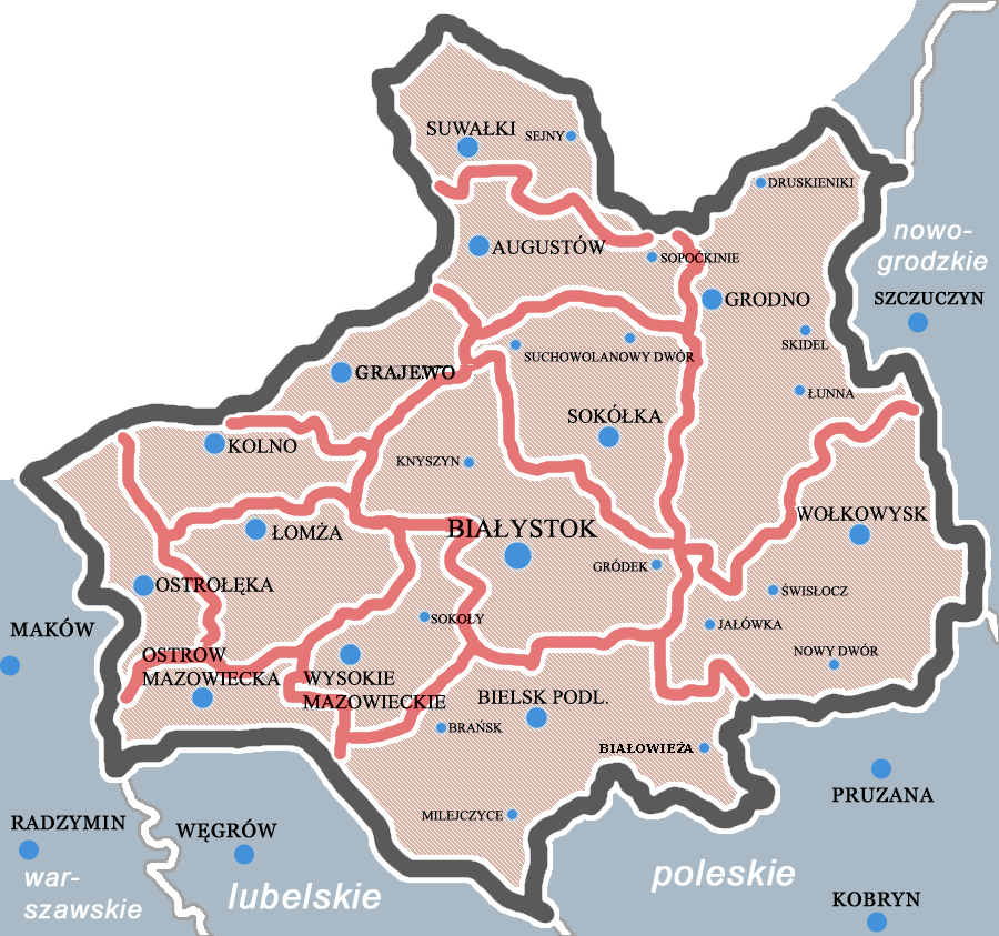
Belastok Voblast or Belostok Oblast ( be, Беластоцкая вобласць, Biełastockaja vobłasć, russian: Белостокская Область, pl, Obwód białostocki) was a short-lived territorial unit in the Belarusian Soviet Socialist Republic (BSSR) during World War II from September 1939 until Operation Barbarossa of 22 June 1941 and again for a short period in 1944. The administrative center of the newly created voblast was the pl, Białystok renamed Belastok ( be, Беласток). History Integration into the Soviet Union From 23 September to October 1939, the secretary of the central committee of the Belarusian SSR lived in Bialystok due to the protracted procedures for the transfer of the territories west of Bialystok by German troops to Białystok. While the leaders of provincial boards and were immediately established at the level of the Central Committee and the Military Front Council, the lower structures (poviat, gmina) were established "in co ... [...More Info...] [...Related Items...] OR: [Wikipedia] [Google] [Baidu] |
Białystok Voivodeship (1919–1939)
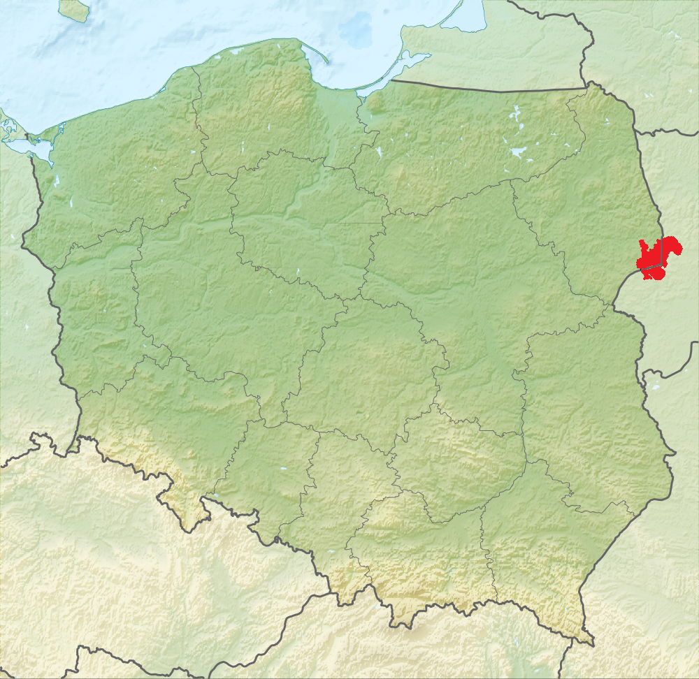
Białystok Voivodeship ( pl, Województwo białostockie) was an administrative unit of interwar Poland (1918–1939). The province's capital and its biggest city was Białystok with a population of over 91,000 people. Following the Nazi German and the Soviet invasion of Poland, the Voivodeship was occupied by both invading armies and divided according to Nazi-Soviet boundary treaty. Area and location In interwar Poland (1918–1939), Bialystok Voivodeship was located in the country's mid-northern part. It bordered Germany (East Prussia) to the north-west, Lithuania to the north-east, Wilno Voivodeship and Nowogródek Voivodeship to the east, Polesie Voivodeship and Lublin Voivodeship to the south and Warsaw Voivodeship to the west. Its area was 26 036 km². The landscape was flat, with the mighty Bialowieza Forest located right in the middle. Population Inhabited mostly by Poles (in 1931 they made up 66.9% of the population), it also had significant Belarusian (1 ... [...More Info...] [...Related Items...] OR: [Wikipedia] [Google] [Baidu] |
Villages In Belarus
A village is a clustered human settlement or community, larger than a hamlet but smaller than a town (although the word is often used to describe both hamlets and smaller towns), with a population typically ranging from a few hundred to a few thousand. Though villages are often located in rural areas, the term urban village is also applied to certain urban neighborhoods. Villages are normally permanent, with fixed dwellings; however, transient villages can occur. Further, the dwellings of a village are fairly close to one another, not scattered broadly over the landscape, as a dispersed settlement. In the past, villages were a usual form of community for societies that practice subsistence agriculture, and also for some non-agricultural societies. In Great Britain, a hamlet earned the right to be called a village when it built a church. [...More Info...] [...Related Items...] OR: [Wikipedia] [Google] [Baidu] |
Byelorussian Soviet Socialist Republic
The Byelorussian Soviet Socialist Republic (BSSR, or Byelorussian SSR; be, Беларуская Савецкая Сацыялістычная Рэспубліка, Bielaruskaja Savieckaja Sacyjalistyčnaja Respublika; russian: Белорусская Советская Социалистическая Республика, Byelorusskaya Sovyetskaya Sotsialisticheskaya Respublika or russian: links=no, Белорусская ССР, Belorusskaya SSR), also commonly referred to in English as Byelorussia, was a republic of the Soviet Union (USSR). It existed between 1920 and 1922, and from 1922 to 1991 as one of fifteen constituent republics of the USSR, with its own legislation from 1990 to 1991. The republic was ruled by the Communist Party of Byelorussia and was also referred to as Soviet Byelorussia or Soviet Belarus by a number of historians. Other names for Byelorussia included White Russian Soviet Socialist Republic and Belorussian Soviet Socialist Republic. To the wes ... [...More Info...] [...Related Items...] OR: [Wikipedia] [Google] [Baidu] |
Soviet Invasion Of Poland
The Soviet invasion of Poland was a military operation by the Soviet Union without a formal declaration of war. On 17 September 1939, the Soviet Union invaded Poland from the east, 16 days after Nazi Germany invaded Poland from the west. Subsequent military operations lasted for the following 20 days and ended on 6 October 1939 with the two-way division and annexation of the entire territory of the Second Polish Republic by Nazi Germany and the Soviet Union. This division is sometimes called the Fourth Partition of Poland. The Soviet (as well as German) invasion of Poland was indirectly indicated in the "secret protocol" of the Molotov–Ribbentrop Pact signed on 23 August 1939, which divided Poland into "spheres of influence" of the two powers. German and Soviet cooperation in the invasion of Poland has been described as co-belligerence. The Red Army, which vastly outnumbered the Polish defenders, achieved its targets, encountering only limited resistance. Some 320,000 Poles ... [...More Info...] [...Related Items...] OR: [Wikipedia] [Google] [Baidu] |
Pruzhansky Uyezd as their native language.Pruzhansky Uyezd (''Пружанский уезд'') was one of the subdivisions of the Grodno Governorate of the Russian Empire. It was situated in the central part of the governorate. Its administrative centre was Pruzhany. Demographics At the time of the Russian Empire Census of 1897, Pruzhansky Uyezd had a population of 139,074. Of these, 75.5% spoke Belarusian, 12.8% Yiddish, 6.7% Ukrainian, 3.0% Russian, 1.4% Polish, 0.3% German and 0.1% Tatar The Tatars ()Tatar in the Collins English Dictionary is an umbrella term for different Демоскоп Weekly - Приложение. Справочник статистических показат� ... [...More Info...] [...Related Items...] OR: [Wikipedia] [Google] [Baidu] |
Belarus
Belarus,, , ; alternatively and formerly known as Byelorussia (from Russian ). officially the Republic of Belarus,; rus, Республика Беларусь, Respublika Belarus. is a landlocked country in Eastern Europe. It is bordered by Russia to the east and northeast, Ukraine to the south, Poland to the west, and Lithuania and Latvia to the northwest. Covering an area of and with a population of 9.4 million, Belarus is the List of European countries by area, 13th-largest and the List of European countries by population, 20th-most populous country in Europe. The country has a hemiboreal climate and is administratively divided into Regions of Belarus, seven regions. Minsk is the capital and List of cities and largest towns in Belarus, largest city. Until the 20th century, different states at various times controlled the lands of modern-day Belarus, including Kievan Rus', the Principality of Polotsk, the Grand Duchy of Lithuania, the Polish–Lithuanian Commonwealth, and t ... [...More Info...] [...Related Items...] OR: [Wikipedia] [Google] [Baidu] |
Russian Empire
The Russian Empire was an empire and the final period of the Russian monarchy from 1721 to 1917, ruling across large parts of Eurasia. It succeeded the Tsardom of Russia following the Treaty of Nystad, which ended the Great Northern War. The rise of the Russian Empire coincided with the decline of neighbouring rival powers: the Swedish Empire, the Polish–Lithuanian Commonwealth, Qajar Iran, the Ottoman Empire, and Qing China. It also held colonies in North America between 1799 and 1867. Covering an area of approximately , it remains the third-largest empire in history, surpassed only by the British Empire and the Mongol Empire; it ruled over a population of 125.6 million people per the 1897 Russian census, which was the only census carried out during the entire imperial period. Owing to its geographic extent across three continents at its peak, it featured great ethnic, linguistic, religious, and economic diversity. From the 10th–17th centuries, the land ... [...More Info...] [...Related Items...] OR: [Wikipedia] [Google] [Baidu] |


