|
Pennsylvania Route 729
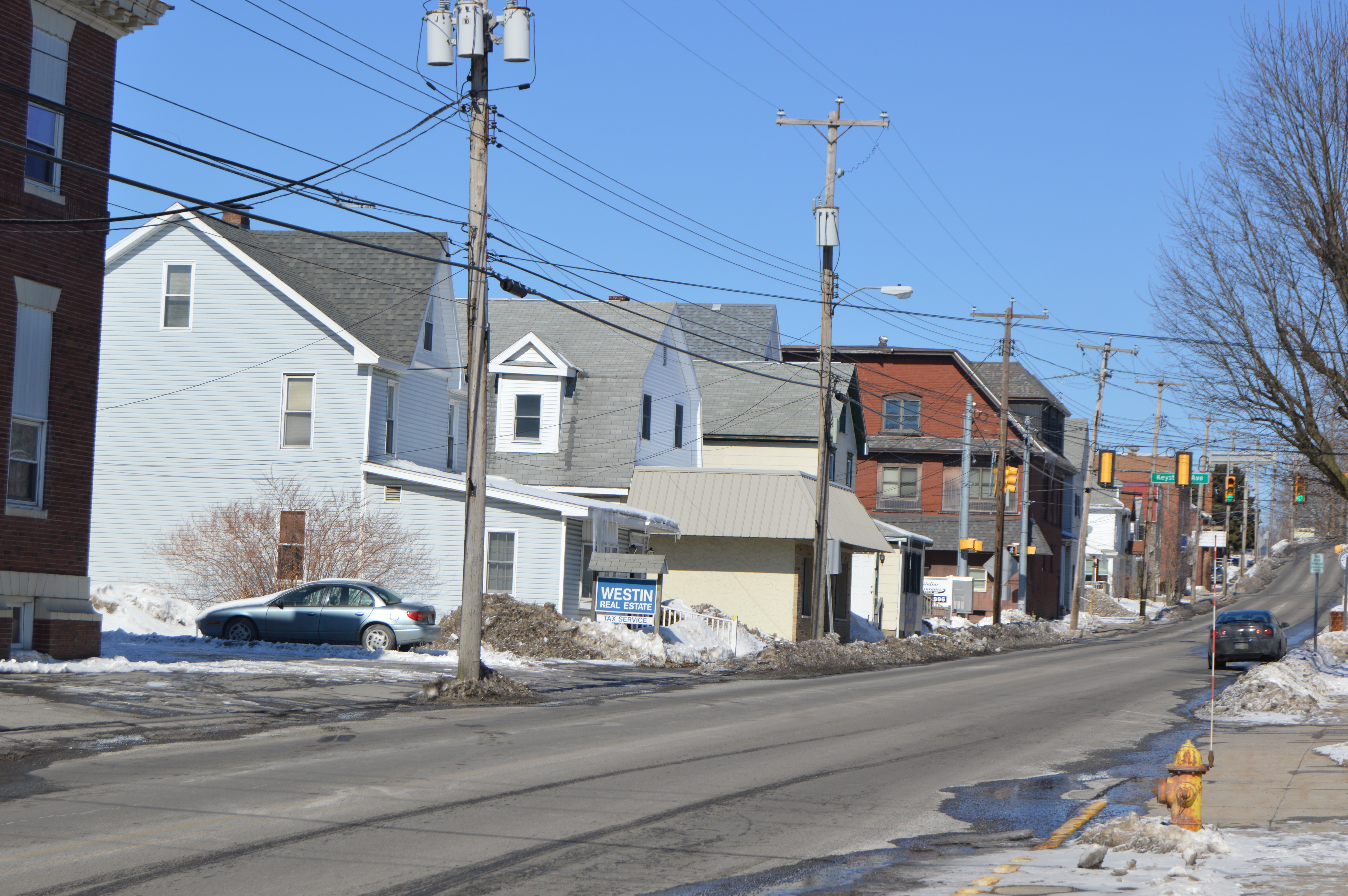
Pennsylvania Route 729 (PA 729) is a , north–south state highway located in Clearfield County, Pennsylvania. The southern terminus is at PA 253/ PA 453 in Gulich Township. The northern terminus is at US 219/ PA 879 in Grampain. Route description PA 729 is known by two names along its route. The two names it goes by are Main Street, and more commonly, the Tyrone Turnpike. The route begins at the village of Janesville at an intersection of PA 253/PA 453. The route heads northwest to the borough of Glen Hope, where the route has an intersection with PA 53. The route continues north to the village of Lumber City. In the village, the route has a short concurrency with PA 969. The route continues north to the borough of Grampian, where the route terminates at an intersection with US 219 and PA 879. History PA 729 was first signed in 1930, but as a short route in Berks County, from PA 100 (Then PA 62) to PA 29. In the mid-1940s, the route was decommissioned, ... [...More Info...] [...Related Items...] OR: [Wikipedia] [Google] [Baidu] |
Pennsylvania Department Of Transportation
The Pennsylvania Department of Transportation (PennDOT) oversees transportation issues in the Commonwealth of Pennsylvania. The administrator of PennDOT is the Pennsylvania Secretary of Transportation, currently Yassmin Gramian. Presently, PennDOT supports over of state roads and highways, about 25,000 bridges, as well as new roadway construction, the exception being the Pennsylvania Turnpike Commission, although they currently follow PennDOT policies and procedures. In addition, other modes of transportation are supervised or supported by PennDOT. These include aviation, Railroad, rail traffic, mass transit, intrastate highway shipping traffic, motor vehicle safety & licensing, and Driver's license, driver licensing. PennDOT also supports the Ports of Philadelphia, Pittsburgh, and Erie, Pennsylvania, Erie. The current budget is approximately $3.8 billion in federal and state funds. The state budget is supported by the motor vehicle fuels tax which is dedicated solely to ... [...More Info...] [...Related Items...] OR: [Wikipedia] [Google] [Baidu] |
Janesville, Pennsylvania
Janesville (also known as Smithmill) is an unincorporated community in Clearfield County, Pennsylvania, United States. The community is located at the intersection of state routes 253, 453 and 729, south-southwest of Ramey. Janesville has a post office A post office is a public facility and a retailer that provides mail services, such as accepting letters and parcels, providing post office boxes, and selling postage stamps, packaging, and stationery. Post offices may offer additional serv ... with ZIP code 16680, which opened on February 25, 1826. References Unincorporated communities in Clearfield County, Pennsylvania Unincorporated communities in Pennsylvania {{ClearfieldCountyPA-geo-stub ... [...More Info...] [...Related Items...] OR: [Wikipedia] [Google] [Baidu] |
Philipsburg, Centre County, Pennsylvania
Philipsburg is a borough in Centre County, Pennsylvania, United States. It is at (40.895, -78.2193). It is part of the State College, Pennsylvania Metropolitan Statistical Area. The borough's population was 2,770 at the 2010 census. Geography According to the United States Census Bureau, the borough has a total area of 0.8 square mile (2.1 km2), all land. Major roads which pass through the area are U.S. Route 322 and state routes 53, 350 and 504. Historical landmarks Philipsburg is home to a number of sites of renovated historical interest, including the Rowland Theater (located on Front Street), the Union Church and Burial Ground (also known as the "Mud" Church, on Presqueisle Street), the Simler House (on North Second St), and the Hardman Philips House (located off Presqueisle Street near Ninth Street), thought to be a stop on the Underground Railroad, although no evidence to support this has been published. The Rowland Mansion (on South Centre Street) is the f ... [...More Info...] [...Related Items...] OR: [Wikipedia] [Google] [Baidu] |
Pennsylvania Route 29
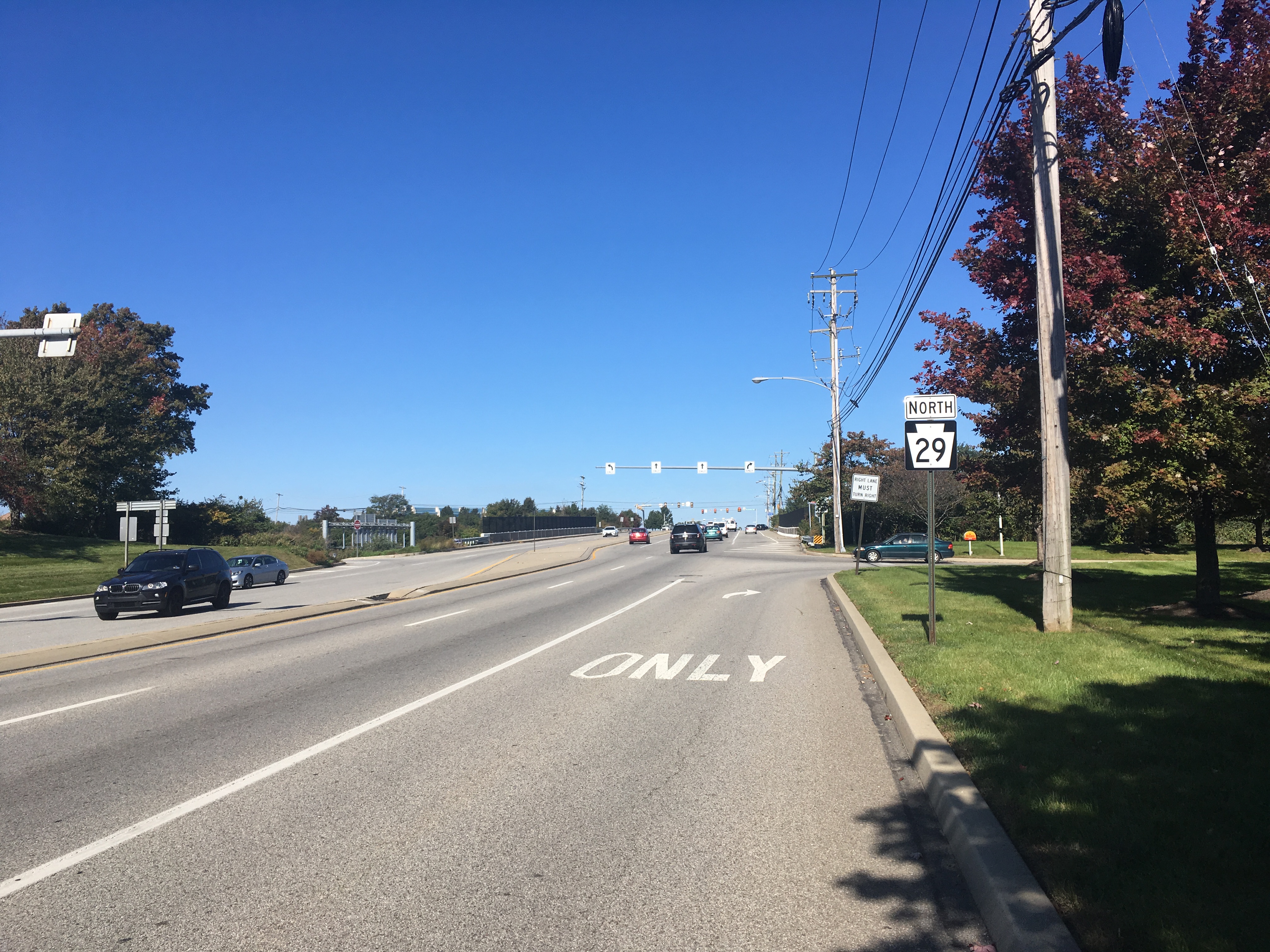
Pennsylvania Route 29 (PA 29) is a north–south state highway that runs through most of eastern Pennsylvania. The route currently exists in two segments, a southern segment and a northern segment. The southern segment runs from U.S. Route 30 (US 30) near Malvern north to Interstate 78 (I-78)/ PA 309 near Allentown. The northern segment runs from I-81 in Ashley north to the New York state line near Brookdale, Pennsylvania, where the road becomes New York State Route 7 (NY 7). The southernmost of PA 29's northern segment is a freeway known as the South Cross Valley Expressway. The route was continuous until May 9, 1966 when PA 29 was split into the two segments that exist today. Route description Southern section Chester County The southern section of PA 29 begins at an intersection with US 30 near the borough of Malvern in East Whiteland Township, Chester County, heading north on six-lane divided South Morehall Road. The road passes businesses and office parks, curv ... [...More Info...] [...Related Items...] OR: [Wikipedia] [Google] [Baidu] |
Pennsylvania Route 62 (1920s)
Pennsylvania Route 100 (PA 100) is a long state highway in the U.S. state of Pennsylvania that runs from U.S. Route 202 in Pennsylvania, U.S. Route 202 (US 202) near West Chester, Pennsylvania, West Chester north to Pennsylvania Route 309, PA 309 in Pleasant Corners, Lehigh County, Pennsylvania, Pleasant Corners. The route runs between the western suburbs of Philadelphia and the Lehigh Valley region of the state, serving Chester County, Pennsylvania, Chester, Montgomery County, Pennsylvania, Montgomery, Berks County, Pennsylvania, Berks, and Lehigh County, Pennsylvania, Lehigh counties. PA 100 intersects several important highways, including U.S. Route 30 in Pennsylvania, US 30 in Exton, Pennsylvania, Exton, the Pennsylvania Turnpike (Interstate 76 (east), Interstate 76, (I-76) near Lionville, Pennsylvania, Lionville, U.S. Route 422, US 422 near Pottstown, Pennsylvania, Pottstown, U.S. Route 222, US 222 in Trexlertown, Pennsylvania, Trexlertown, and Interstate 78 in Pennsylvania, I ... [...More Info...] [...Related Items...] OR: [Wikipedia] [Google] [Baidu] |
Pennsylvania Route 100
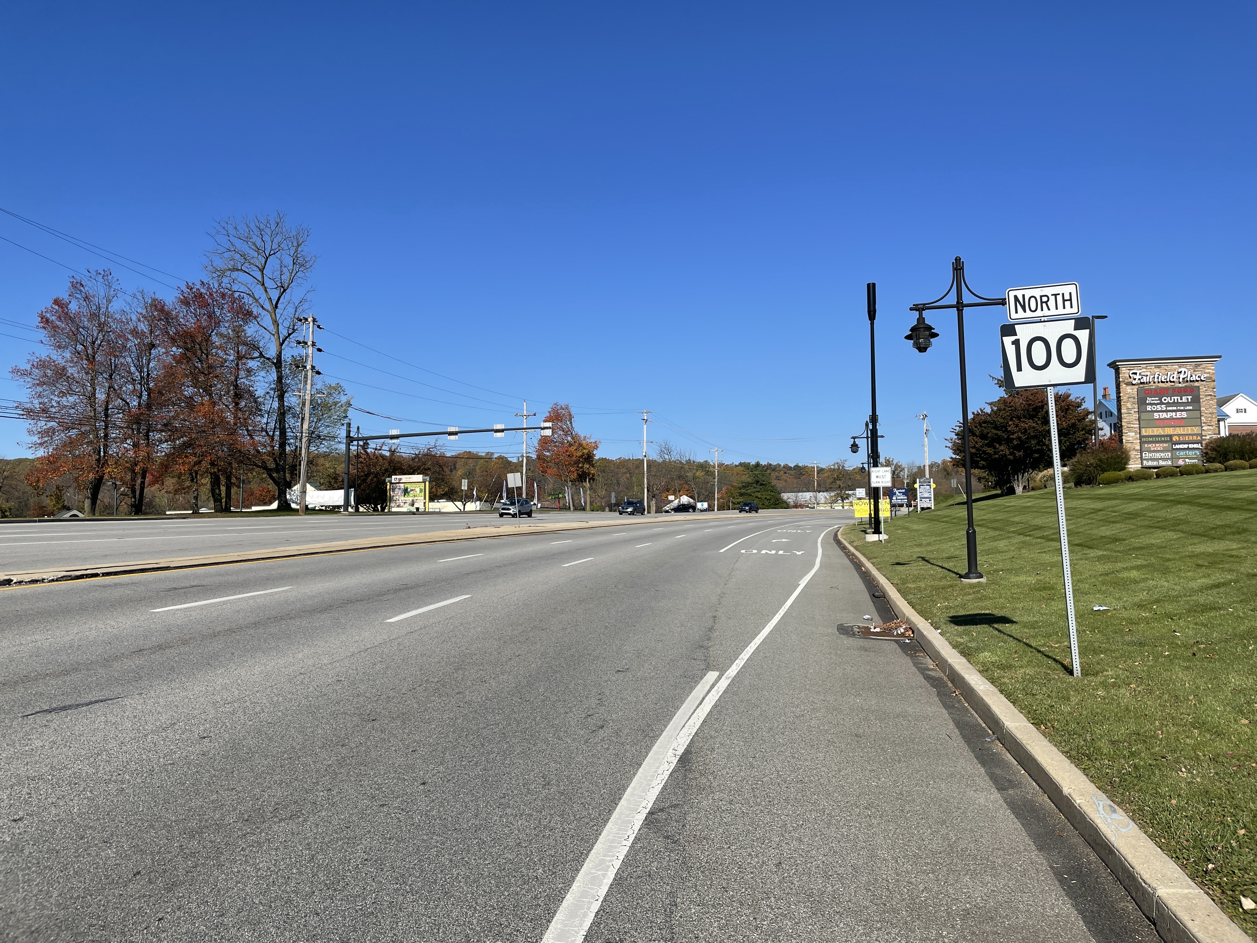
Pennsylvania Route 100 (PA 100) is a long state highway in the U.S. state of Pennsylvania that runs from U.S. Route 202 (US 202) near West Chester north to PA 309 in Pleasant Corners. The route runs between the western suburbs of Philadelphia and the Lehigh Valley region of the state, serving Chester, Montgomery, Berks, and Lehigh counties. PA 100 intersects several important highways, including US 30 in Exton, the Pennsylvania Turnpike (Interstate 76, (I-76) near Lionville, US 422 near Pottstown, US 222 in Trexlertown, and I-78/ US 22 in Fogelsville. Several sections of PA 100 are multi-lane divided highway with some interchanges, including between US 202 and the Pennsylvania Turnpike in Chester County between south of Pottstown and New Berlinville, and between Trexlertown and Fogelsville. PA 100 was originally designated as PA 62 in 1927, running between the Delaware border south of Chadds Ford and US 309/ PA 312 in Allentown. PA 62 was rerouted to reach its nor ... [...More Info...] [...Related Items...] OR: [Wikipedia] [Google] [Baidu] |
Berks County, Pennsylvania
Berks County ( Pennsylvania German: ''Barricks Kaundi'') is a county in the Commonwealth of Pennsylvania. As of the 2020 census, the population was 428,849. The county seat is Reading. The Schuylkill River, a tributary of the Delaware River, flows through Berks County. The county is part of the Reading, PA metropolitan statistical area (MSA), which is included in the Philadelphia-Reading- Camden, PA- NJ- DE- MD combined statistical area (CSA). History Reading developed during the 1740s when inhabitants of northern Lancaster County sent several petitions requesting that a separate county be established. With the help of German immigrant Conrad Weiser, the county was formed on March 11, 1752, from parts of Chester County, Lancaster County, and Philadelphia County. It was named after the English county in which William Penn's family home lay, Berkshire, which is often abbreviated to Berks. Berks County began much larger than it is today. The northwestern parts of the ... [...More Info...] [...Related Items...] OR: [Wikipedia] [Google] [Baidu] |
Pennsylvania Route 969
Pennsylvania Route 969 (PA 969) is a state highway located in Clearfield County, Pennsylvania. The western terminus is at U.S. Route 219 (US 219) in Greenwood Township. The eastern terminus is at PA 453 in Curwensville. The route is known locally as the Lumber City Highway. Route description PA 969 begins at an intersection with US 219 in the community of Bells Landing in Greenwood Township, heading east on two-lane undivided Lumber City Highway. The road winds northeast through forested areas, running a short distance to the north of a R.J. Corman Railroad line and the West Branch Susquehanna River. The route crosses into Penn Township before continuing northeast into Ferguson Township and the community of Lumber City, following the railroad line and the river east to an intersection with PA 729. Here, PA 729 turns east to form a brief concurrency with PA 969 before splitting to the south. After this, the route heads east through an area of fields before curving nor ... [...More Info...] [...Related Items...] OR: [Wikipedia] [Google] [Baidu] |
Lumber City, Pennsylvania
Lumber City is a former borough (Pennsylvania), borough in Clearfield County, Pennsylvania, Clearfield County, Pennsylvania, United States. The population was 76 at the 2010 census. The borough ceased to be a separate municipality on January 6, 2014, and became part of Ferguson Township, Clearfield County, Pennsylvania, Ferguson Township. Geography Lumber City is located southwest of the center of Clearfield County at (40.932590, -78.580051), on the north side of the West Branch Susquehanna River. It is bordered to the north by Penn Township, Clearfield County, Pennsylvania, Penn Township and to the northeast by Pike Township, Clearfield County, Pennsylvania, Pike Township. Pennsylvania Route 969 passes through the community following the West Branch, leading northeastward (downstream) to Curwensville, Pennsylvania, Curwensville and west (upstream) to U.S. Route 219 in Pennsylvania, U.S. Route 219 at Bells Landing. Pennsylvania Route 729 crosses the West Branch at Lumber City ... [...More Info...] [...Related Items...] OR: [Wikipedia] [Google] [Baidu] |
Pennsylvania Route 53
Pennsylvania Route 53 (PA 53) is an state highway located in central Pennsylvania. The southern terminus of the route is at U.S. Route 219 (US 219) near the borough of Summerhill. The northern terminus is at PA 144 in the Snow Shoe Township community of Moshannon. Route description Cambria County PA 53 begins at an interchange with the US 219 freeway in Croyle Township, Cambria County, heading east-northeast on four-lane divided Railroad Street. The road narrows into a two-lane undivided road as it heads through wooded areas to the south of Norfolk Southern's Pittsburgh Line, crossing the Little Conemaugh River into the borough of Summerhill. The route passes homes and a few businesses, heading northeast and crossing the river again before curving east and crossing back into Croyle Township. PA 53 becomes Portage Street and runs through more woodland to the south of the railroad tracks, crossing the Little Conemaugh River twice. The road heads into Summerhill T ... [...More Info...] [...Related Items...] OR: [Wikipedia] [Google] [Baidu] |
Glen Hope, Pennsylvania
Glen Hope is a borough in Clearfield County, Pennsylvania, United States. The population was 127 at the 2020 census. Geography Glen Hope is located in southern Clearfield County at (40.798959, -78.500320), primarily on the northern side of Clearfield Creek, a northeastward-flowing tributary of the West Branch Susquehanna River. Pennsylvania Route 53 passes through the borough, leading northeast to Madera and southwest to Irvona. Pennsylvania Route 729 crosses Clearfield Creek and PA-53 in the center of town and leads northwest to Grampian and southeast to Janesville. According to the United States Census Bureau, Glen Hope has a total area of , of which , or 2.06%, is water. Demographics As of the census of 2000, there were 149 people, 55 households, and 44 families residing in the borough. The population density was . There were 59 housing units at an average density of . The racial makeup of the borough was 99.33% White, and 0.67% from two or more races. There were 55 h ... [...More Info...] [...Related Items...] OR: [Wikipedia] [Google] [Baidu] |


