|
PPGIS
Participatory GIS (PGIS) or public participation geographic information system (PPGIS) is a participatory approach to spatial planning and spatial information and communications management. PGIS combines Participatory Learning and Action (PLA) methods with geographic information systems (GIS). PGIS combines a range of geo-spatial information management tools and methods such as sketch maps, participatory 3D modelling (P3DM), aerial photography, satellite imagery, and global positioning system (GPS) data to represent peoples' spatial knowledge in the forms of (virtual or physical) two- or three-dimensional maps used as interactive vehicles for spatial learning, discussion, information exchange, analysis, decision making and advocacy. Participatory GIS implies making geographic technologies available to disadvantaged groups in society in order to enhance their capacity in generating, managing, analysing and communicating spatial information. PGIS practice is geared towards commu ... [...More Info...] [...Related Items...] OR: [Wikipedia] [Google] [Baidu] |
Counter-mapping
Counter-mapping is creating maps that challenge "dominant power structures, to further seemingly progressive goals". counter-mapping is used in multiple disciplines to reclaim colonized territory. Counter-maps are prolific in indigenous cultures, "counter-mapping may reify, reinforce, and extend settler boundaries even as it seeks to challenge dominant mapping practices; and still, counter-mapping may simultaneously create conditions of possibility for decolonial ways of repre-senting space and place" (Iralu 2021; 1490). The term came into use in the United States when Nancy Peluso used it in 1995 to describe the commissioning of maps by forest users in Kalimantan, Indonesia, to contest government maps of forest areas that undermined indigenous peoples, indigenous interests. The resultant counter-hegemonic maps strengthen forest users' resource claims. There are numerous expressions closely related to counter-mapping: ethnocartography, alternative cartography, mapping-back, counter ... [...More Info...] [...Related Items...] OR: [Wikipedia] [Google] [Baidu] |
Participatory 3D Modelling
Participatory 3D modelling (P3DM) is a community-based mapping method which integrates local spatial knowledge with data on elevation of the land and depth of the sea to produce stand-alone, scaled and geo-referenced relief models. Essentially based on local spatial knowledge, land use and cover, and other features are depicted by informants on the model by the use of pushpins (points), yarns (lines) and paints (polygons). On completion, a scaled and geo-referenced grid is applied to facilitate data extraction or importation. Data depicted on the model are extracted, digitised and plotted. On completion of the exercise the model remains with the community. Awards On November 5, 2007 at a ceremony which took place during the Global Forum 2007 at the Fondazione Giorgio Cini in Venice, Italy, the CTA-supported project ''Participatory 3D Modelling (P3DM) for Resource Use, Development Planning and Safeguarding Intangible Cultural Heritage in Fiji'' was granted the World Summit Award 2 ... [...More Info...] [...Related Items...] OR: [Wikipedia] [Google] [Baidu] |
Web Mapping
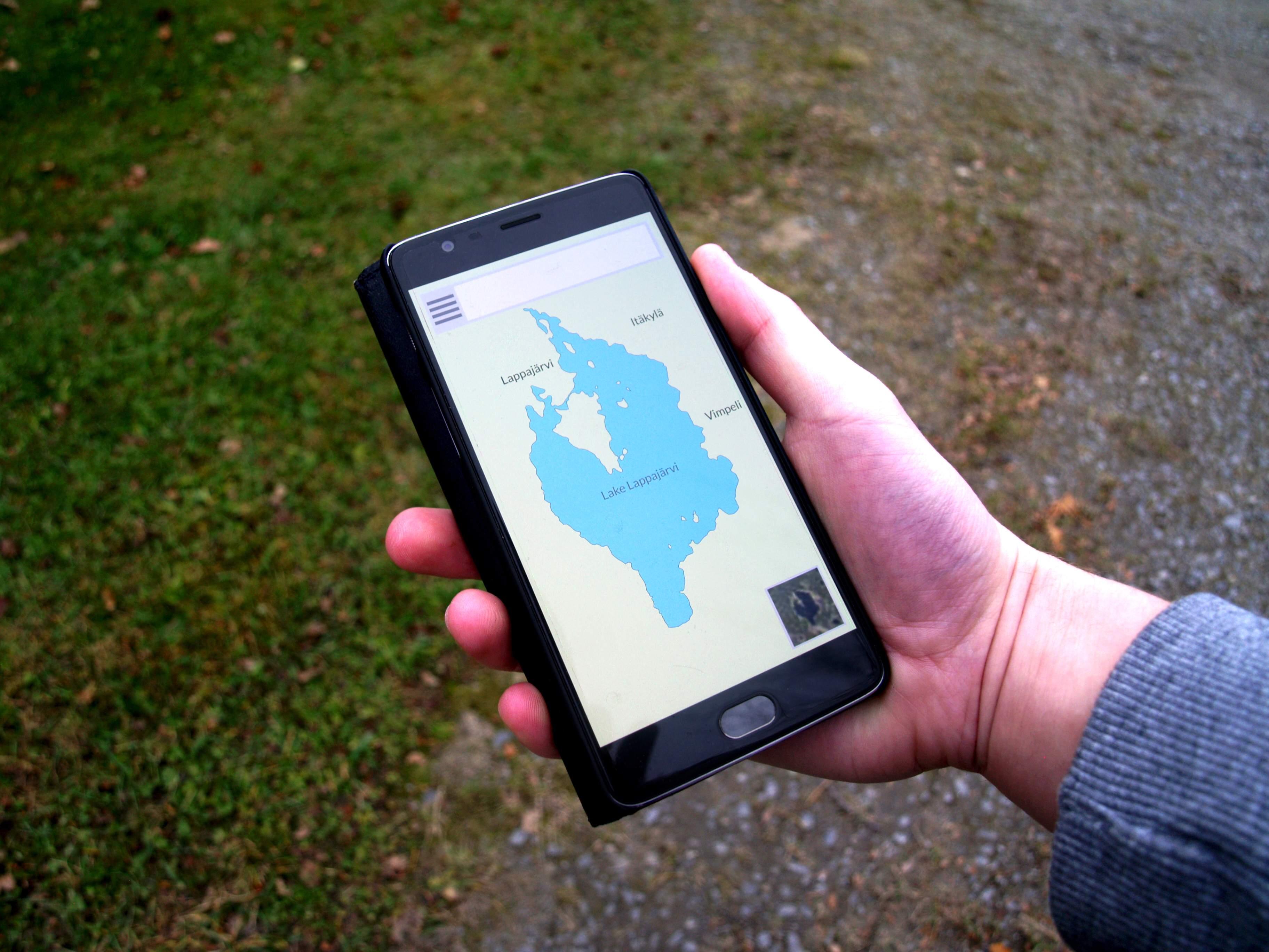
Web mapping or an online mapping is the process of using maps, usually created through geographic information systems (GIS), on the Internet, more specifically in the World Wide Web (WWW). A web map or an online map is both served and consumed, thus web mapping is more than just web cartography, it is a service by which consumers may choose what the map will show. Web GIS emphasizes geodata processing aspects more involved with design aspects such as data acquisition and server software architecture such as data storage and algorithms, than it does the end-user reports themselves. The terms ''web GIS'' and ''web mapping ''remain somewhat synonymous. Web GIS uses web maps, and end users who are ''web mapping'' are gaining analytical capabilities. The term '' location-based services'' refers to ''web mapping'' consumer goods and services. Web mapping usually involves a web browser or other user agent capable of client-server interactions. Questions of quality, usability, social ... [...More Info...] [...Related Items...] OR: [Wikipedia] [Google] [Baidu] |
Public Participation
Public participation, also known as citizen participation or patient and public involvement, is the inclusion of the public in the activities of any organization or project. Public participation is similar to but more inclusive than stakeholder engagement. Generally public participation seeks and facilitates the involvement of those potentially affected by or interested in a decision. This can be in relation to individuals, governments, institutions, companies or any other entities that affect public interests. The principle of public participation holds that those who are affected by a decision have a right to be involved in the decision-making process. Public participation implies that the public's contribution will influence the decision. Public participation may be regarded as a form of empowerment and as vital part of democratic governance. In the context of knowledge management the establishment of ongoing participatory processes is seen by some in the facilitator of collecti ... [...More Info...] [...Related Items...] OR: [Wikipedia] [Google] [Baidu] |
Non-profit Organization
A nonprofit organization (NPO) or non-profit organisation, also known as a non-business entity, not-for-profit organization, or nonprofit institution, is a legal entity organized and operated for a collective, public or social benefit, in contrast with an entity that operates as a business aiming to generate a profit for its owners. A nonprofit is subject to the non-distribution constraint: any revenues that exceed expenses must be committed to the organization's purpose, not taken by private parties. An array of organizations are nonprofit, including some political organizations, schools, business associations, churches, social clubs, and consumer cooperatives. Nonprofit entities may seek approval from governments to be tax-exempt, and some may also qualify to receive tax-deductible contributions, but an entity may incorporate as a nonprofit entity without securing tax-exempt status. Key aspects of nonprofits are accountability, trustworthiness, honesty, and openness to ev ... [...More Info...] [...Related Items...] OR: [Wikipedia] [Google] [Baidu] |
Traditional Knowledge GIS
Traditional knowledge geographic information systems (GIS) are the data, techniques, and technologies designed to document and utilize local knowledges in communities around the world. Traditional knowledge is information that encompasses the experiences of a particular culture or society. Traditional knowledge GIS are more valuable than ordinary cognitive maps in that they express environmental and spiritual relationships among real and conceptual entities. They comprise a formidable toolset for use in cultural preservation, land rights disputes, natural resource management, and economic development. Technical aspects Traditional knowledge GIS employs cartographic and database management techniques such as participatory GIS, map biographies, and historical mapping. Participatory GIS aspires to a mutually beneficial relationship between the governing and the governed by fostering public involvement in all aspects of a GIS. It is widely accepted that this technique is necessary ... [...More Info...] [...Related Items...] OR: [Wikipedia] [Google] [Baidu] |
OpenStreetMap
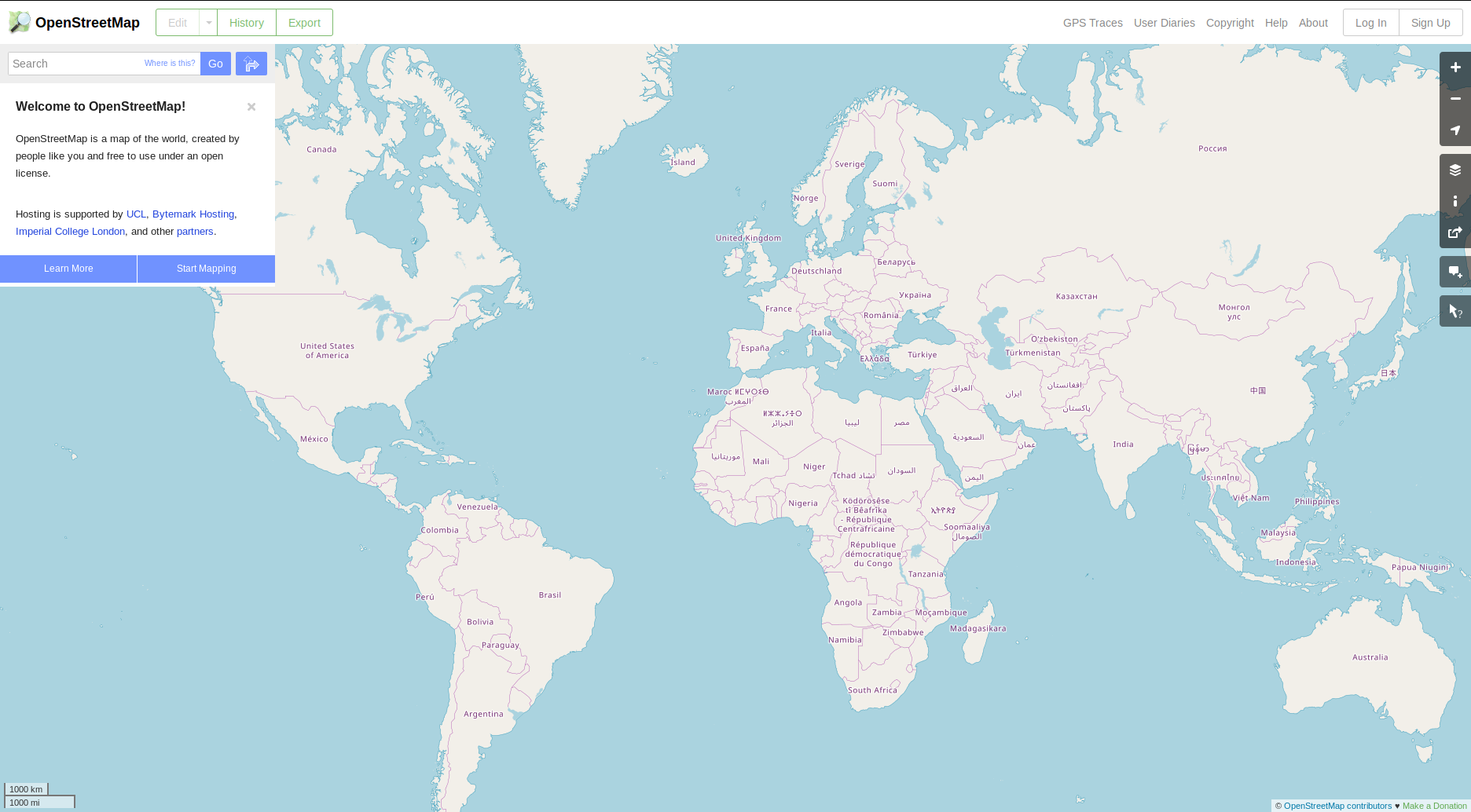
OpenStreetMap (OSM) is a free, open geographic database updated and maintained by a community of volunteers via open collaboration. Contributors collect data from surveys, trace from aerial imagery and also import from other freely licensed geodata sources. OpenStreetMap is freely licensed under the Open Database License and as a result commonly used to make electronic maps, inform turn-by-turn navigation, assist in humanitarian aid and data visualisation. OpenStreetMap uses its own topology to store geographical features which can then be exported into other GIS file formats. The OpenStreetMap website itself is an online map, geodata search engine and editor. In 2004, OpenStreetMap was created by Steve Coast in response to the Ordnance Survey, the United Kingdom's national mapping agency, failing to release its data to the public and under free licences. Initially, maps were created only via GPS traces, but it was quickly populated by importing public domain geogr ... [...More Info...] [...Related Items...] OR: [Wikipedia] [Google] [Baidu] |
Neogeography
Neogeography (literally "new geography") is the use of geographical techniques and tools for personal and community activities or by a non-expert group of users. Application domains of neogeography are typically not formal or analytical. From the point of view of human geography, neogeography could be also defined as the use of new specific information society tools, especially the Internet, to the aims and purposes of geography as an academic discipline; in all branches of geographical thought and incorporating contributions from outside of geography performed by non-specialist users in this discipline through the use of specific geographic ICT tools. This new definition, complementing previous ones, restores to academic geography the leading role proponents claim it should play when considering a renewal of the discipline with the rigor and right granted by its centuries-existence, but also includes the interesting social phenomenon of citizen participation in the geographical know ... [...More Info...] [...Related Items...] OR: [Wikipedia] [Google] [Baidu] |
Geodesign
Geodesign is a set of concepts and methods used to involve all stakeholders and various professions in collaboratively designing and realizing the optimal solution for spatial challenges in the built and natural environments, utilizing all available techniques and data in an integrated process. Originally, geodesign was mainly applied during the design and planning phase. "Geodesign is a design and planning method which tightly couples the creation of design proposals with impact simulations informed by geographic contexts." Now, it is also used during realization and maintenance phases and to facilitate re-use of for example buildings or industrial areas. Geodesign includes project conceptualization, analysis, design specification, stakeholder participation and collaboration, design creation, simulation, and evaluation (among other stages). History Geodesign builds greatly on a long history of work in geographic information science, computer-aided design, landscape architecture, a ... [...More Info...] [...Related Items...] OR: [Wikipedia] [Google] [Baidu] |
Collaborative Mapping
Collaborative mapping, also known as citizen mapping, is the aggregation of Web mapping and user-generated content, from a group of individuals or entities, and can take several distinct forms. With the growth of technology for storing and sharing maps, collaborative maps have become competitors to commercial services, in the case of OpenStreetMap, or components of them, as in Google Map Maker and Yandex.Map editor. Volunteers collect geographic information and the citizens/individuals can be regarded as sensors within a geographical environment that create, assemble, and disseminate geographic data provided voluntarily by the individuals. Collaborative mapping is a special case of the larger phenomenon known as crowd sourcing, that allows citizens to be part of collaborative approach to accomplish a goal. The goals in collaborative mapping have a geographical aspect, e.g. having a more active role in urban planning. Especially when data, information, knowledge is distributed in a ... [...More Info...] [...Related Items...] OR: [Wikipedia] [Google] [Baidu] |
Decision Support System
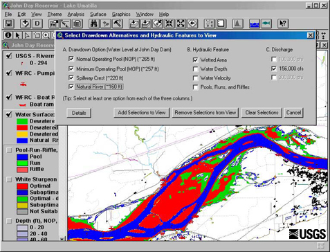
A decision support system (DSS) is an information system that supports business or organizational decision-making activities. DSSs serve the management, operations and planning levels of an organization (usually mid and higher management) and help people make decisions about problems that may be rapidly changing and not easily specified in advance—i.e. unstructured and semi-structured decision problems. Decision support systems can be either fully computerized or human-powered, or a combination of both. While academics have perceived DSS as a tool to support decision making processes, DSS users see DSS as a tool to facilitate organizational processes. Some authors have extended the definition of DSS to include any system that might support decision making and some DSS include a decision-making software component; Sprague (1980)Sprague, R;(1980).A Framework for the Development of Decision Support Systems" MIS Quarterly. Vol. 4, No. 4, pp.1-25. defines a properly termed DSS ... [...More Info...] [...Related Items...] OR: [Wikipedia] [Google] [Baidu] |


