|
Oxford Diocesan Guild Of Church Bell Ringers
The Oxford Diocesan Guild of Church Bell Ringers is a society representing the rings and bell-ringers of the Diocese of Oxford who practice the art of change ringing. They cover the counties of Oxfordshire, Buckinghamshire and Berkshire and was established on 17 January 1881 at Reading. The Guild is split into 15 branches; *Banbury Branch *Bicester Branch * Central Bucks Branch, covering Aylesbury and Winslow area * Chiltern Branch, covering Wendover area *Chipping Norton Branch *East Berks and South Bucks Branch, covering the High Wycombe, Amersham and Windsor area * Newbury Branch *North Bucks Branch, covering Buckingham, Milton Keynes, Olney and Bletchley area *Old North Berks Branch, covering Abingdon, Wallingford and Appleton area *Oxford City Branch *Reading Branch *Sonning Deanery Branch, covering Sonning and Wokingham area *South Oxon Branch, covering Dorchester on Thames and Thame area * Vale of the White Horse Branch, in the Shrivenham and Faringdon area *Witney ... [...More Info...] [...Related Items...] OR: [Wikipedia] [Google] [Baidu] |
Ring Of Bells
A "ring of bells" is the name bell ringers give to a set of bell (instrument), bells hung for English full circle ringing. The term "peal of bells" is often used, though peal also refers to a change ringing performance of more than about 5,000 Method ringing, changes. By ringing a bell in a full circle, it was found in the early 17th century that the speed of the bell could be easily altered and the interval between successive soundings (strikes) of the bell could be accurately controlled. A set of bells rung in this manner can be made to strike in different sequences. This ability to control the speed of bells soon led to the development of change ringing where the striking sequence of the bells is changed to give variety and musicality to the sound. The vast majority of "rings" are in bell tower, church towers in the Anglican church in England and can be three to sixteen bells, though six and eight bell towers are the most common. They are musical tuning, tuned to the notes ... [...More Info...] [...Related Items...] OR: [Wikipedia] [Google] [Baidu] |
Amersham
Amersham ( ) is a market town and civil parish within the unitary authority of Buckinghamshire, England, in the Chiltern Hills, northwest of central London, from Aylesbury and from High Wycombe. Amersham is part of the London commuter belt. There are two distinct areas: * Old Amersham, set in the valley of the River Misbourne, containing the 13th-century parish church of St Mary's Church, Old Amersham, St. Mary's and several old pubs and coaching inns * Amersham-on-the-Hill, which grew in the early 20th century around , which was served by the Metropolitan Railway, now the Metropolitan line, and the Great Central Railway. Geography Old Amersham occupies the valley floor of the River Misbourne. This is a chalk stream which dries up periodically. The river occupies a valley much larger than it is possible for a river the size of the present River Misbourne to cut, which makes it a misfit stream. The valley floor is at around Ordnance Datum, OD, and the valley top is at aro ... [...More Info...] [...Related Items...] OR: [Wikipedia] [Google] [Baidu] |
Wokingham
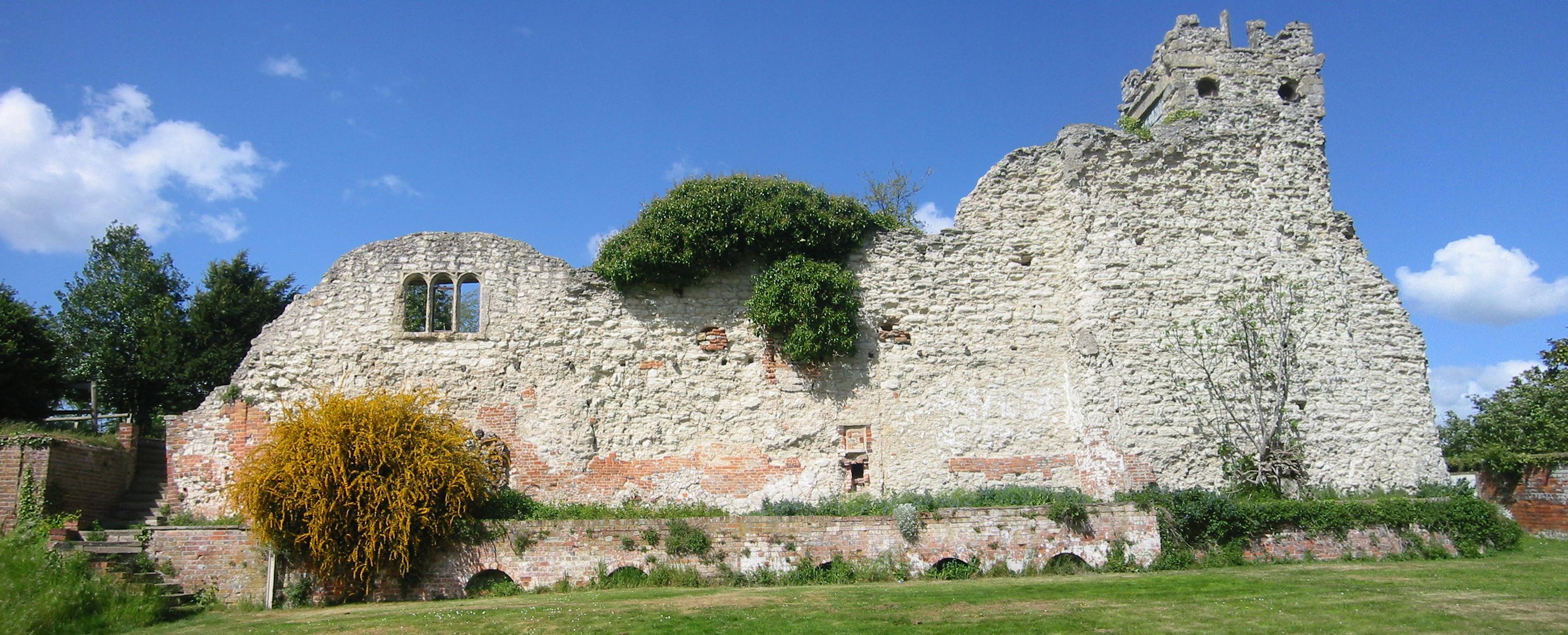
Wokingham is a market town in Berkshire, England, west of London, southeast of Reading, north of Camberley and west of Bracknell. History Wokingham means 'Wocca's people's home'. Wocca was apparently a Saxon chieftain who may also have owned lands at Wokefield in Berkshire and Woking in Surrey. In Victorian times, the name became corrupted to ''Oakingham'', and consequently the acorn with oak leaves is the town's heraldic charge, granted in the 19th century. Geologically, Wokingham sits at the northern end of the Bagshot Formation, overlying London clay, suggesting a prehistorical origin as a marine estuary. The courts of Windsor Forest were held at Wokingham and the town had the right to hold a market from 1219. The Bishop of Salisbury was largely responsible for the growth of the town during this period. He set out roads and plots making them available for rent. There are records showing that in 1258 he bought the rights to hold three town fairs every year. E ... [...More Info...] [...Related Items...] OR: [Wikipedia] [Google] [Baidu] |
Sonning
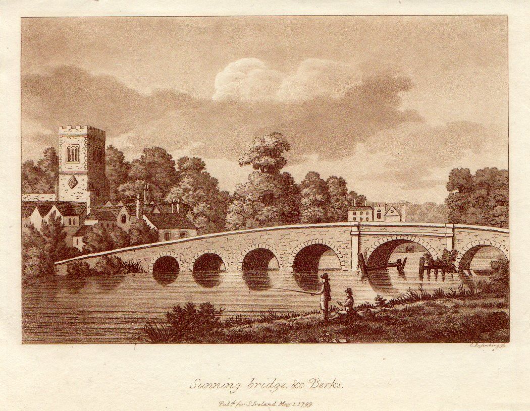
Sonning is a village and civil parish in Berkshire, England, on the River Thames, east of Reading. The village was described by Jerome K. Jerome in his book ''Three Men in a Boat'' as "the most fairy-like little nook on the whole river". Geography The parish of Sonning originally included Charvil, Woodley and Earley and, before the formation of civil parishes in 1866, was a cross-county-boundary parish containing Sonning Eye, Dunsden Green and Playhatch in Oxfordshire as well. It is now much smaller and triangular shaped. The ecclesiastical parish of Sonning continues to include Sonning, Charvil and Sonning Eye. The northwestern boundary is formed by the River Thames before passing through the middle of the Thames Valley Park. The southern border follows the railway line. The northeastern boundary travels over Charvil Hill and follows the edge of the housing at Charvil itself until it reaches the confluence of St Patrick's Stream with the Thames, near St Patrick's Bridge. T ... [...More Info...] [...Related Items...] OR: [Wikipedia] [Google] [Baidu] |
Reading, Berkshire
Reading ( ) is a town and borough in Berkshire, Southeast England, southeast England. Located in the Thames Valley at the confluence of the rivers River Thames, Thames and River Kennet, Kennet, the Great Western Main Line railway and the M4 motorway serve the town. Reading is east of Swindon, south of Oxford, west of London and north of Basingstoke. Reading is a major commercial centre, especially for information technology and insurance. It is also a regional retail centre, serving a large area of the Thames Valley with its shopping centre, the The Oracle, Reading, Oracle. It is home to the University of Reading. Every year it hosts the Reading and Leeds Festivals, Reading Festival, one of England's biggest music festivals. Reading has a professional association football team, Reading F.C., and participates in many other sports. Reading dates from the 8th century. It was an important trading and ecclesiastical centre in the Middle Ages, the site of Reading Abbey, one of th ... [...More Info...] [...Related Items...] OR: [Wikipedia] [Google] [Baidu] |
Oxford
Oxford () is a city in England. It is the county town and only city of Oxfordshire. In 2020, its population was estimated at 151,584. It is north-west of London, south-east of Birmingham and north-east of Bristol. The city is home to the University of Oxford, the oldest university in the English-speaking world; it has buildings in every style of English architecture since late Anglo-Saxon. Oxford's industries include motor manufacturing, education, publishing, information technology and science. History The history of Oxford in England dates back to its original settlement in the Saxon period. Originally of strategic significance due to its controlling location on the upper reaches of the River Thames at its junction with the River Cherwell, the town grew in national importance during the early Norman period, and in the late 12th century became home to the fledgling University of Oxford. The city was besieged during The Anarchy in 1142. The university rose to dom ... [...More Info...] [...Related Items...] OR: [Wikipedia] [Google] [Baidu] |
Appleton, Oxfordshire
Appleton is a village in the civil parish of Appleton-with-Eaton, about northwest of Abingdon. Historically in Berkshire, the 1974 boundary changes transferred it to Oxfordshire for administrative purposes. The 2011 Census recorded Appleton-with-Eaton's parish population as 915. Manor In the 9th century Abingdon Abbey held the manor of Appleton. In 871 the Danes sacked the abbey and thereby obtained Appleton, but it is assumed that Appleton was recovered by Alfred the Great. Appleton's toponym means simply "an orchard". In the 10th century it was ''Æppeltune'' or ''Appeltun'', from then until the 17th century it evolved as ''Apletone'', ''Apletune'' and ''Appelton'', and in 1316 it was recorded as ''Aspelton''. In the 10th century the village had the alternative name of ''Earmundeslæh'', ''Earmundesleah'', ''Earmundeslee'' or ''Earmundeslei'', referring to King Edmund I, who in 942 granted it to Athelstan, one of his thegns, who may have restored it to Abingdon Abbey. ... [...More Info...] [...Related Items...] OR: [Wikipedia] [Google] [Baidu] |
Wallingford, Oxfordshire
Wallingford () is a historic market town and civil parish located between Oxford and Reading on the River Thames in England. Although belonging to the historic county of Berkshire, it is within the ceremonial county of Oxfordshire for administrative purposes (since 1974) as a result of the 1972 Local Government Act. Wallingford is north of Reading, south of Oxford and north west of Henley-on-Thames. The town's population was 11,600 in the 2011 census. The town has played an important role in English history starting with the surrender of Stigand to William the Conqueror in 1066, which led to his taking the throne and the creation of Wallingford Castle. The castle and the town enjoyed royal status and flourished for much of the Middle Ages. The Treaty of Wallingford, which ended a civil war known as The Anarchy between King Stephen and Empress Matilda, was signed there. The town then entered a period of decline after the arrival of the Black Death and falling out of favou ... [...More Info...] [...Related Items...] OR: [Wikipedia] [Google] [Baidu] |
Abingdon, Oxfordshire
Abingdon-on-Thames ( ), commonly known as Abingdon, is a historic market town and civil parish in the ceremonial county of Oxfordshire, England, on the River Thames. Historically the county town of Berkshire, since 1974 Abingdon has been administered by the Vale of White Horse district within Oxfordshire. The area was occupied from the early to middle Iron Age and the remains of a late Iron Age and Roman defensive enclosure lies below the town centre. Abingdon Abbey was founded around 676, giving its name to the emerging town. In the 13th and 14th centuries, Abingdon was an agricultural centre with an extensive trade in wool, alongside weaving and the manufacture of clothing. Charters for the holding of markets and fairs were granted by various monarchs, from Edward I to George II. The town survived the dissolution of the abbey in 1538, and by the 18th and 19th centuries, with the building of Abingdon Lock in 1790, and Wilts & Berks Canal in 1810, was a key link between ... [...More Info...] [...Related Items...] OR: [Wikipedia] [Google] [Baidu] |
Bletchley
Bletchley is a constituent town of Milton Keynes, Buckinghamshire, England. It is situated in the south-west of Milton Keynes, and is split between the civil parishes of Bletchley and Fenny Stratford and West Bletchley. Bletchley is best known for Bletchley Park, the headquarters of Britain's World War II codebreaking organisation, and now a major tourist attraction. The National Museum of Computing is also located on the Park. History Origins and early modern history The town name is Anglo-Saxon and means ''Blæcca's clearing''. It was first recorded in manorial rolls in the 12th century as ''Bicchelai'', then later as ''Blechelegh'' (13th century) and ''Blecheley'' (14th–16th centuries). Just to the south of Fenny Stratford, there was Romano-British town, '' M'' on either side of Watling Street, a Roman road. Bletchley was originally a minor village on the outskirts of Fenny Stratford, of lesser importance than Water Eaton. Fenny Stratford fell into decline from the Engl ... [...More Info...] [...Related Items...] OR: [Wikipedia] [Google] [Baidu] |
Olney, Buckinghamshire
Olney (, rarely ) is a market town and civil parish in the unitary authority area of the City of Milton Keynes in Buckinghamshire, England. At the 2011 Census, it had a population of 6,477 people. It lies on the River Great Ouse and is the northernmost town in Buckinghamshire, close to the borders of Bedfordshire and Northamptonshire, and equidistant from Northampton, Bedford, Wellingborough and Central Milton Keynes. It is a popular tourist destination, perhaps best known for the and for the ''Olney Hymns'' by William Cowper and John Newton. History First mentioned as ''Ollanege'' (Olla's island) in 932, the town has a history as a lace-making centre. According to the Domesday Book the place, later called ''Olnei,'' was held in 1086 AD by Geoffrey de Montbray, Bishop of Coutances, as its overlord. During the English Civil War, Olney was the site of the Battle of Olney Bridge. In the late 18th century, William Cowper and John Newton collaborated here on what became known ... [...More Info...] [...Related Items...] OR: [Wikipedia] [Google] [Baidu] |
Milton Keynes
Milton Keynes ( ) is a city and the largest settlement in Buckinghamshire, England, about north-west of London. At the 2021 Census, the population of its urban area was over . The River Great Ouse forms its northern boundary; a tributary, the River Ouzel, meanders through its linear parks and balancing lakes. Approximately 25% of the urban area is parkland or woodland and includes two Sites of Special Scientific Interest (SSSIs). In the 1960s, the UK government decided that a further generation of new towns in the South East of England was needed to relieve housing congestion in London. This new town (in planning documents, 'new city'), Milton Keynes, was to be the biggest yet, with a target population of 250,000 and a 'designated area' of about . At designation, its area incorporated the existing towns of Bletchley, Fenny Stratford, Wolverton and Stony Stratford, along with another fifteen villages and farmland in between. These settlements had an extensive historical ... [...More Info...] [...Related Items...] OR: [Wikipedia] [Google] [Baidu] |


.jpg)
